Acreages at Glendo Lake
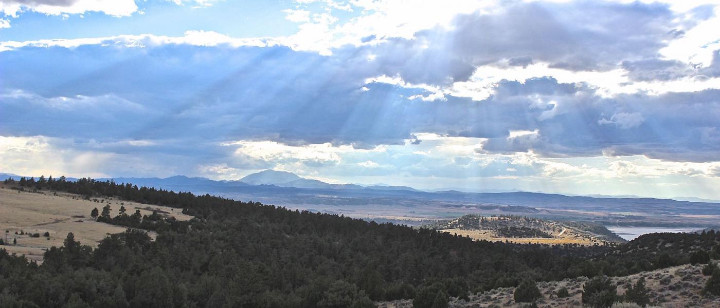
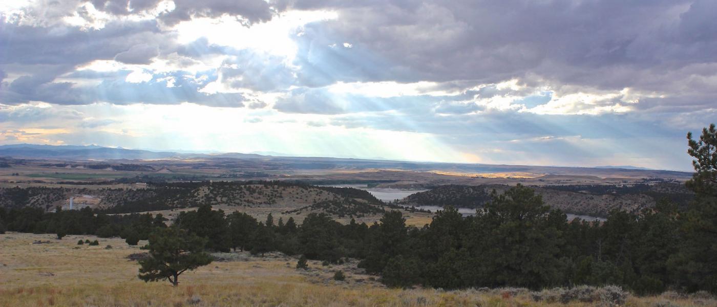
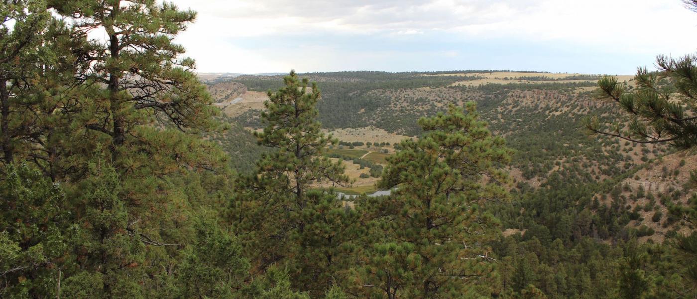
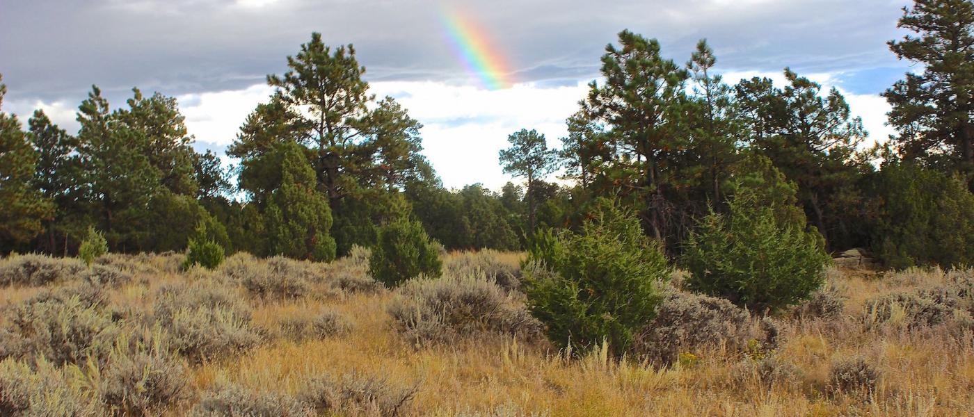
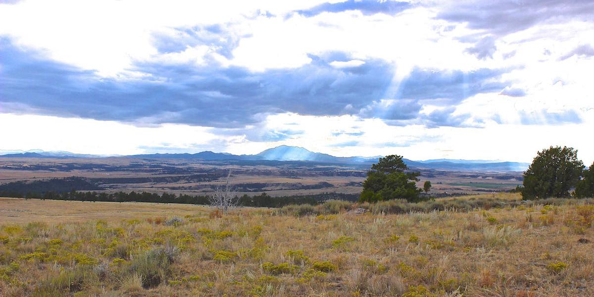
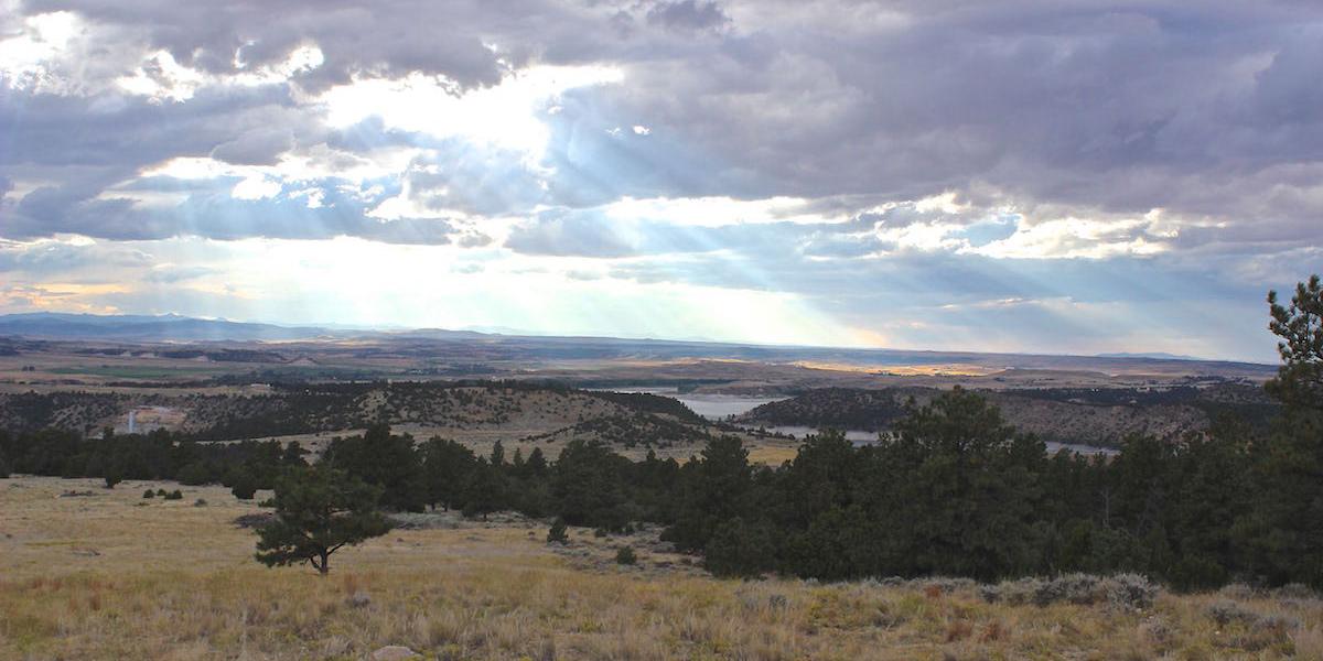
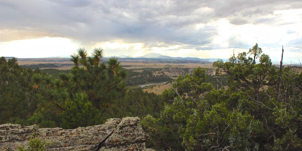
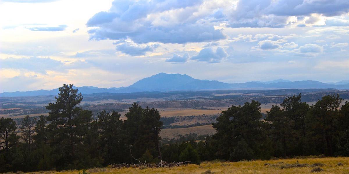
Acreages at Glendo Lake are rare opportunity to own one of two large recreational parcels that are now being offered for sale for the first time by a third generational rancher along the foothills of the Medicine Bow Mountain Range. Each parcel has incredible westward views of Laramie Peak overlooking the Platte River and the Lake. The craggy rim rock canyons that feed up from the North Platte River into the parcels are natural corredors for wildlife including wild turkey and mule deer.
The Acreages at Glendo Lake are located within ½ mile of the Glendo State Park, just east of the Reservoir with dramatic views and landscape. Recreation is in abundance on and around the nearby water and public land. The Feather Rim Trail is minutes away and connects miles of improved trails leading to the Platte River and Glendo Reservoir. These trails are pedestrian, bicycle, and equestrian friendly and meander through rim rock, meadow, and timber. The Glendo Reservoir is renowned for its water sports and fishing with the property only 4 miles to the marina and 6 miles to Sandy Beach.
Contact
PHONE: (307) 217-2777
Site Links
HomeFarm & Ranch Properties
Residential & Recreational Properties
Buying with Powers
Selling with Powers
About Us
Contact Us
Disclaimer
Content on this website is for general information only and has been obtained from sources deemed reliable; however, the accuracy of this information is not guaranteed or warranted by Powers Land Brokerage, LLC. Listings are subject to prior sale, price change, correction or withdrawal without notice. Visitors are charged with making and are expected to conduct their own independent investigation of the information provided, directly or indirectly, by this website or Powers Land Brokerage, LLC.