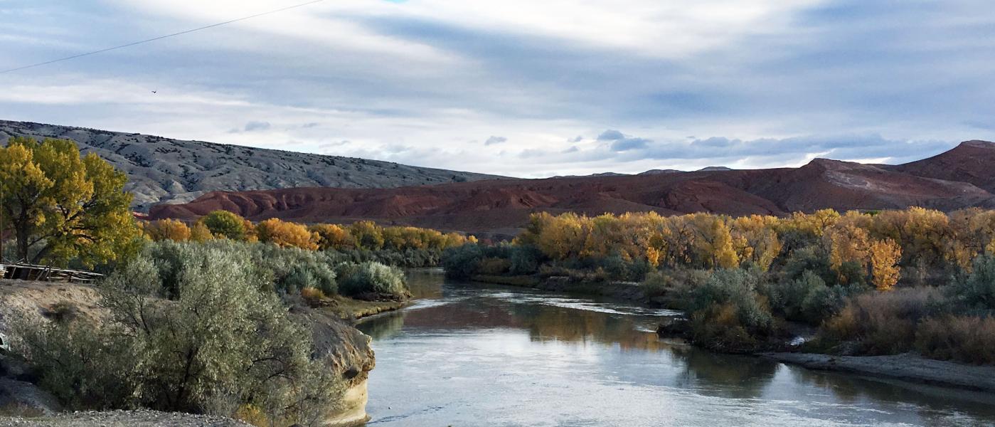
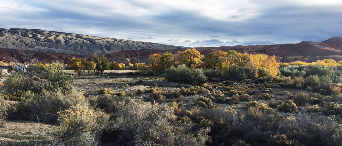
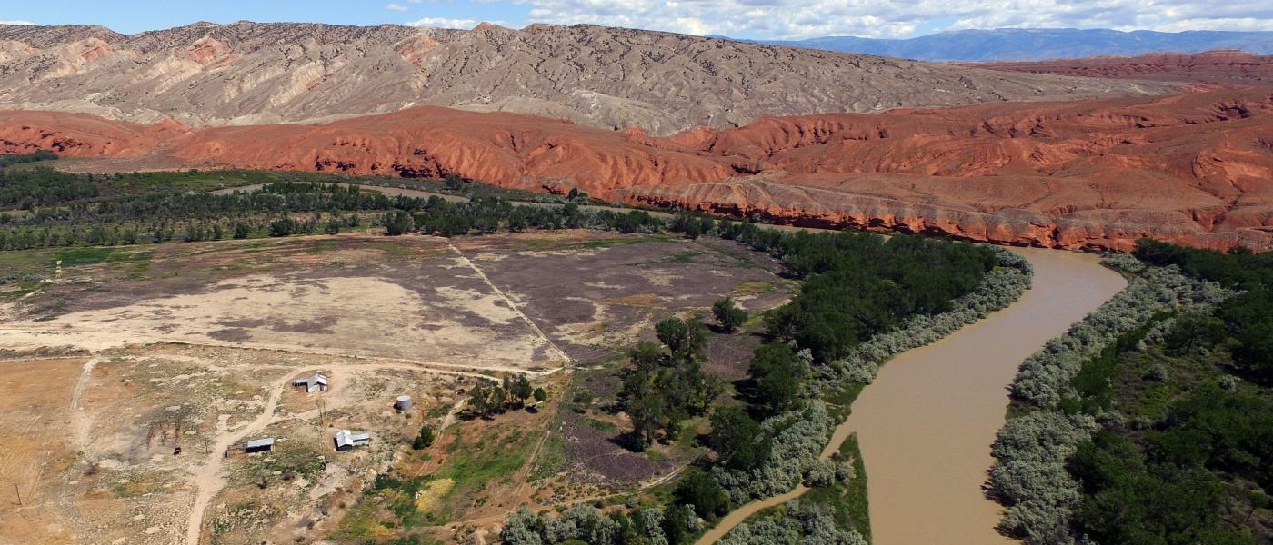
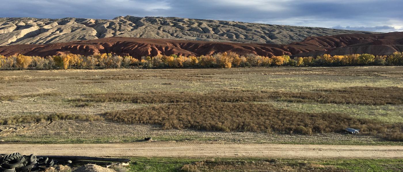
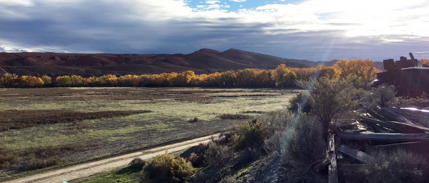
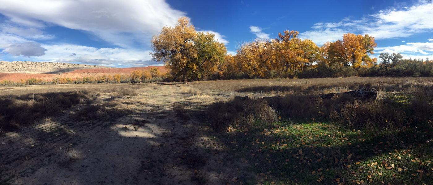
Big Horn River Bend
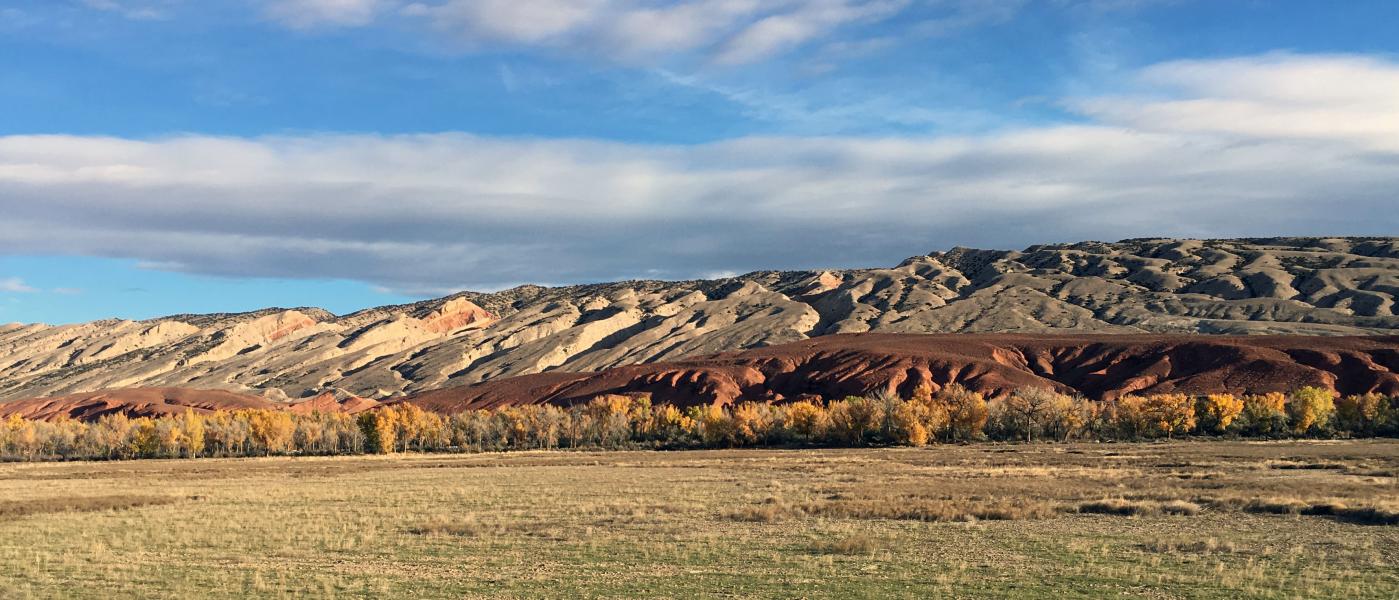
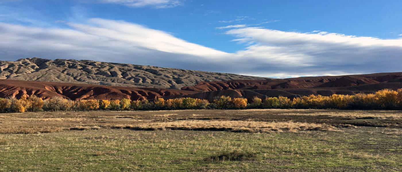
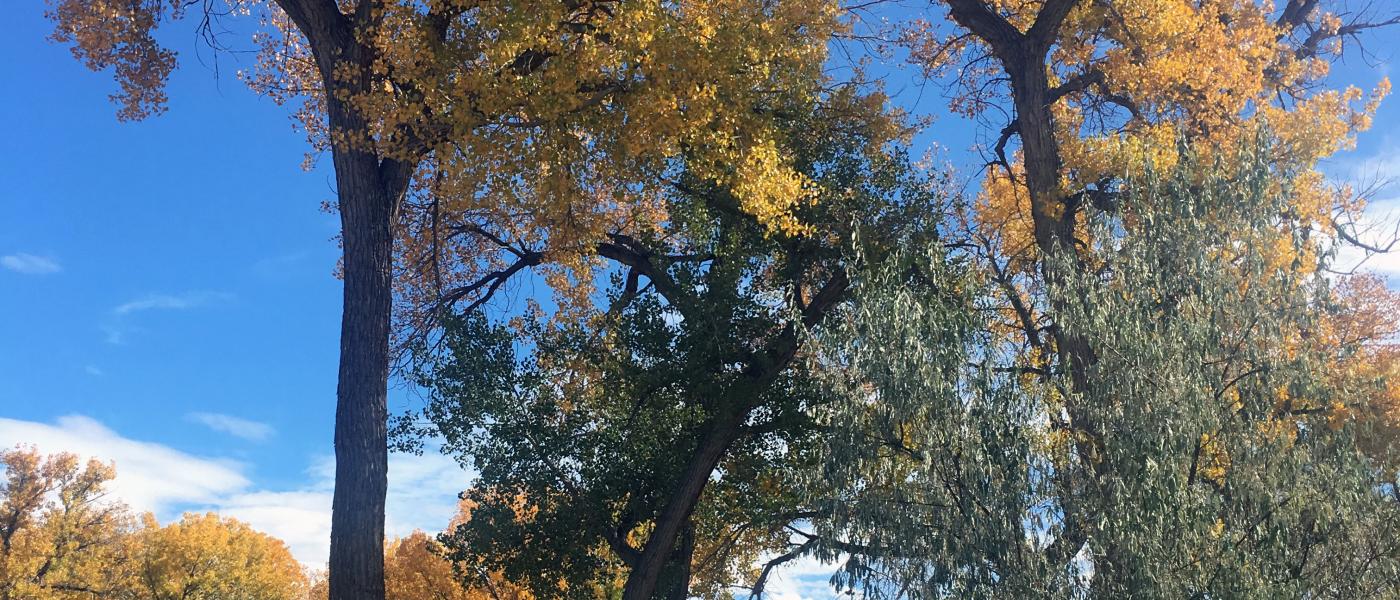
Big Horn River Bend is a scenic blank canvas awaiting the right person with a vision of living along a mile of the Big Horn River. The cottonwood lined river bank is accented with the Red Rock formations and snow capped Big Horn Mountains to the east. This end of the road setting features a high bench perfect for a home and improvements with three phase power and county road access
The entire property is 138+/- acres with the upper and lower bench holding 59+/- acres of farm ground irrigated with water from the Big Horn River. The lower bench is ideal for pivot irrigation. Past crops included barley, corn, alfalfa, canola, and potatos. Wildlife that are home on the property include wild turkey, canadian geese, pheasant, white tail deer, and fox. The bend, which the owners call the point, is known by locals to be one of best spots on river.
The Big Horn Basin is a high desert that lies between the Big Horn Mountains to the east and the Mountains of the Greater Yellowstone area to the West. Near the Montana border and only 50 miles from the historic town of Cody, Greybull provides access to unparalleled outdoor recreation in some of the most intact ecosystems in the world. The area has hundreds of thousands of acres of public land that would take a lifetime to explore.
Wyoming is known for its friendly tax structure and small town values. Big Horn River Bend property is ready for a niche farm, a commercial business, or an incredible estate for the avid sport or equestrian owner.
Contact
PHONE: (307) 217-2777
Site Links
HomeFarm & Ranch Properties
Residential & Recreational Properties
Auctions
Buying & Selling
About Us
Contact Us
Disclaimer
Content on this website is for general information only and has been obtained from sources deemed reliable; however, the accuracy of this information is not guaranteed or warranted by Powers Land Brokerage, LLC. Listings are subject to prior sale, price change, correction or withdrawal without notice. Visitors are charged with making and are expected to conduct their own independent investigation of the information provided, directly or indirectly, by this website or Powers Land Brokerage, LLC.