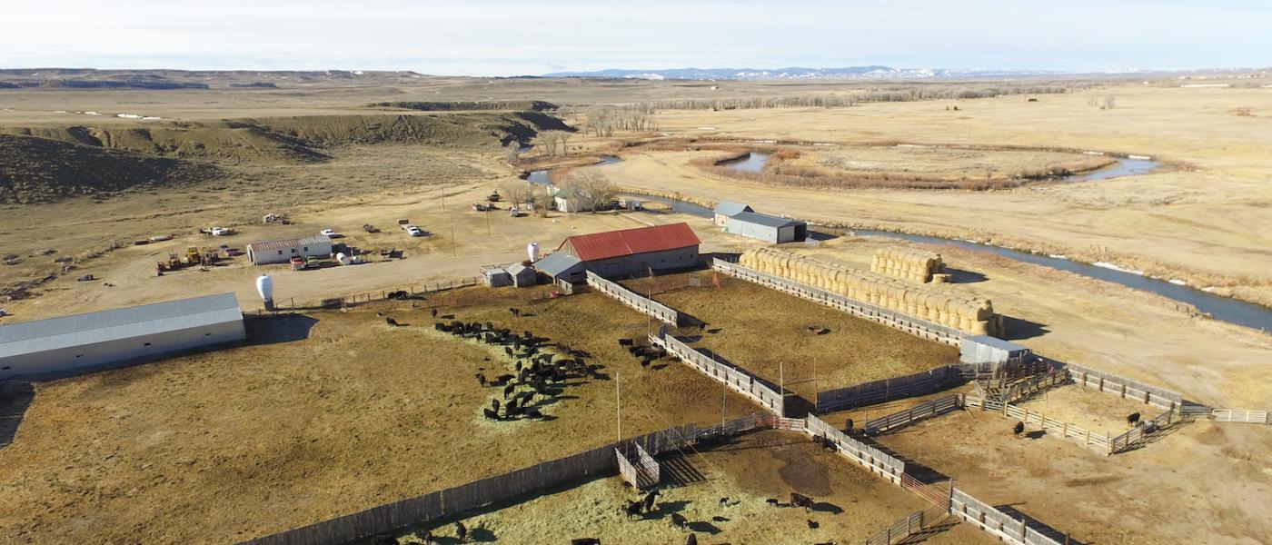
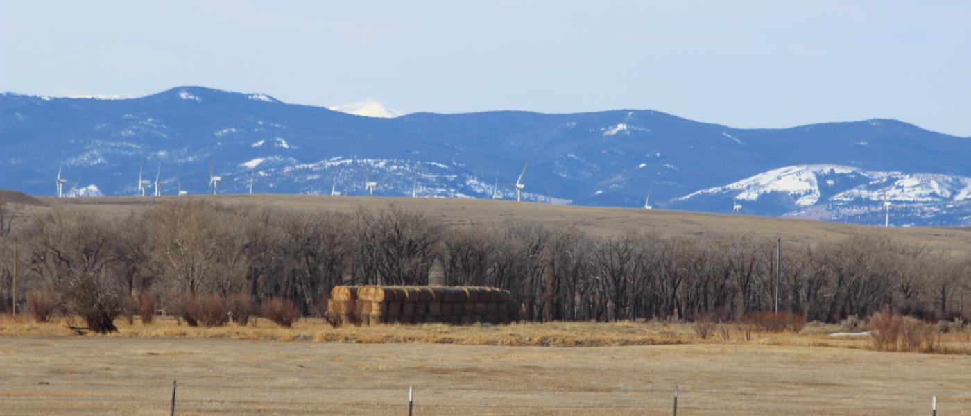
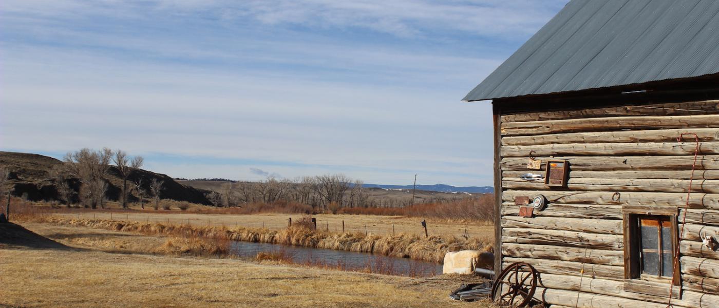
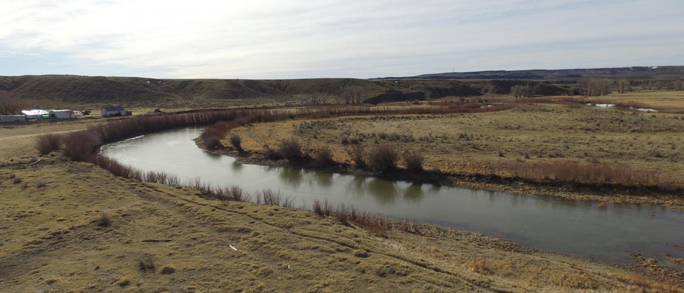
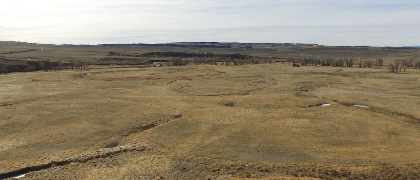
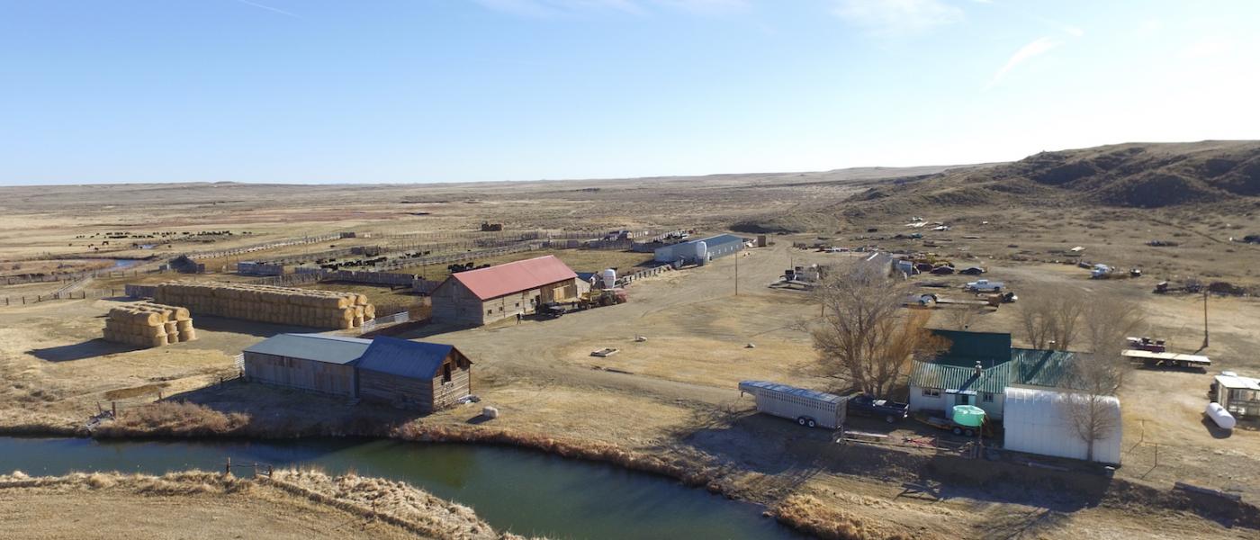
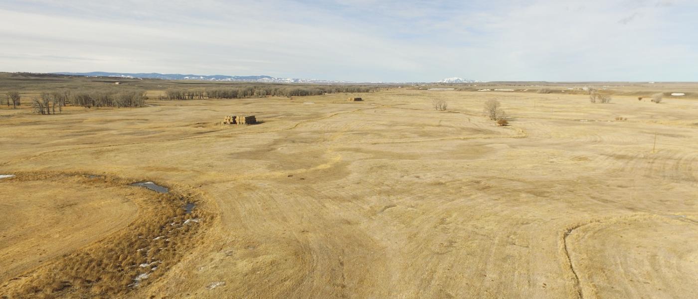
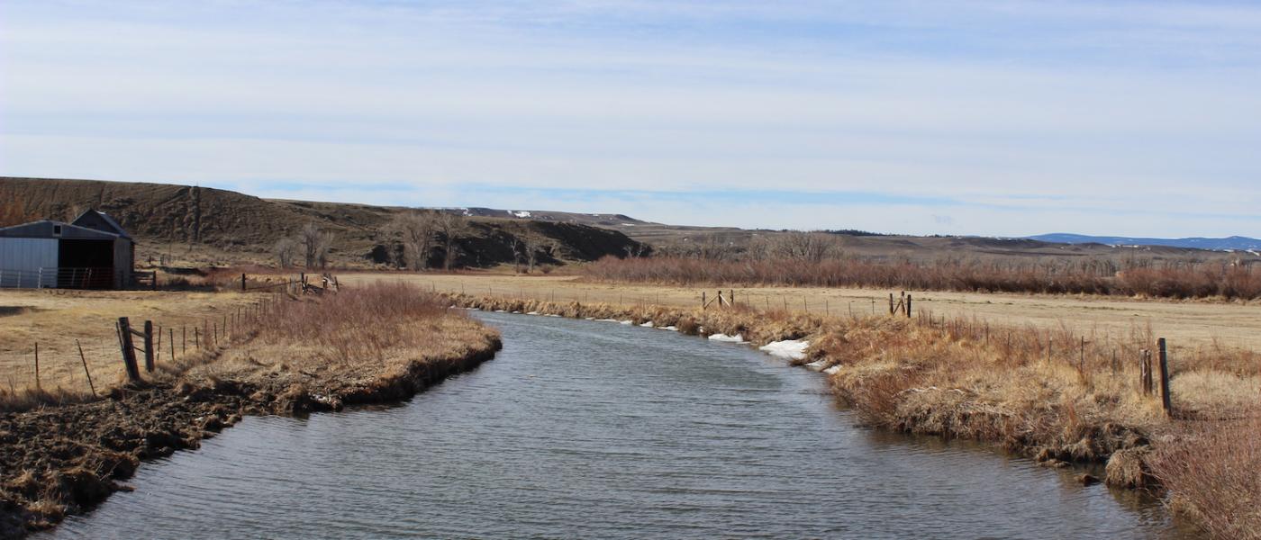
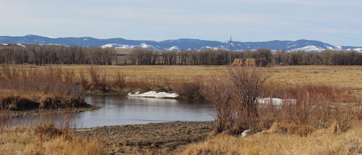
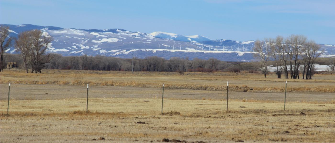
Historic Laramie Plains Ranch
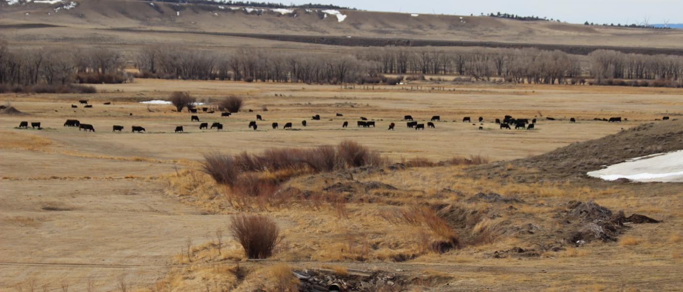
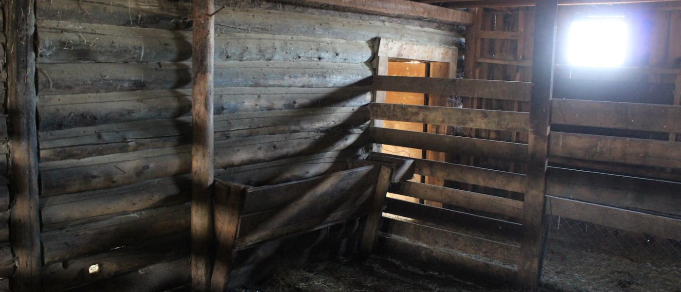
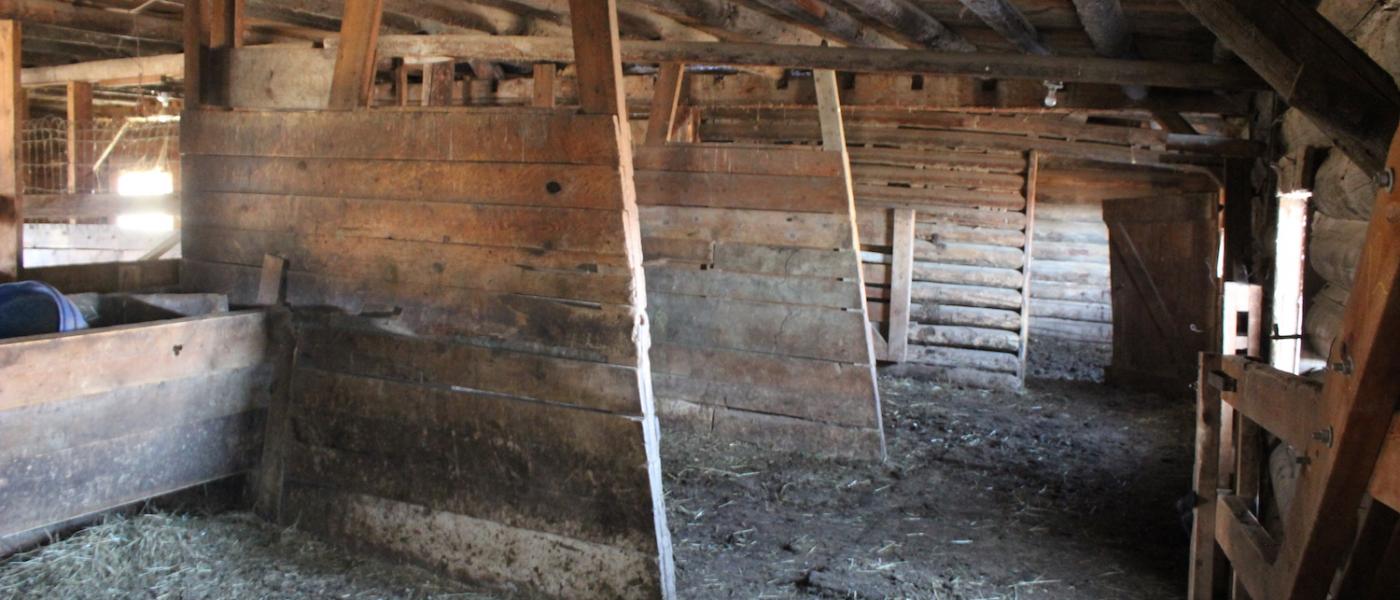
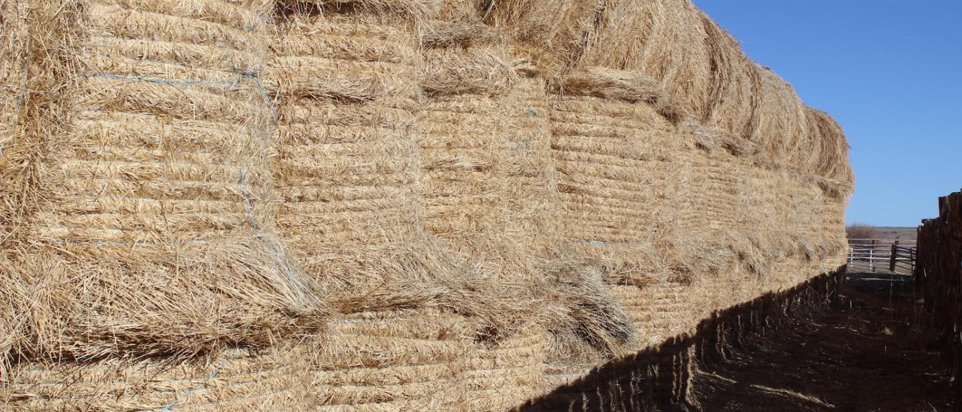
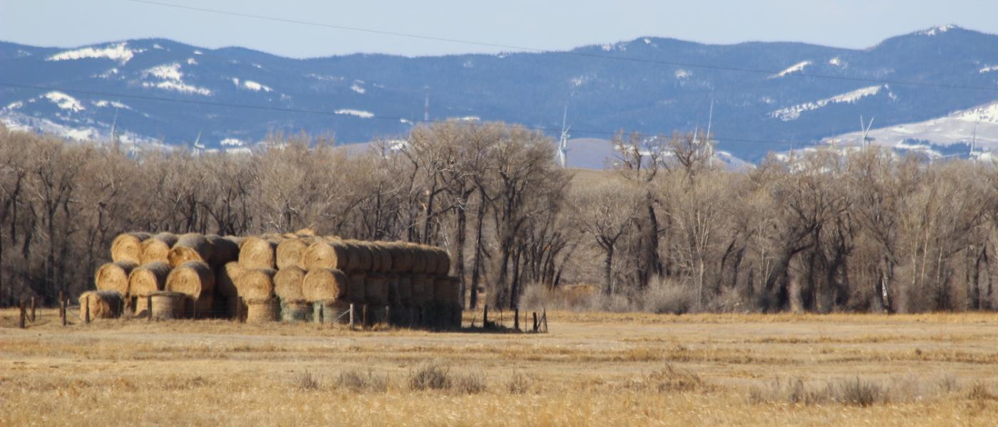
Powers Land Brokerage represented the Buyer in the purchase of one of the Laramie Plains' most historic ranches. The well-balanced 400 cow/calf operation is situated on over six miles of the cottonwood lined Rock Creek. Early priority irrigation water supplies the ranch with 1,000 plus tons of Garrison grass hay annually. Working improvements included a 30,000 lb scale house, two homes, working and shipping corrals, shops and barns. Several of the historic buildings, still in active use today, were built in 1900 and take you back to the Tom Horn era with old branding irons carved into the timbers. Located on just outside Rock River, Wyoming the ranch holds impressive views of Elk Mountain to the southwest and Laramie Peak to the northeast.
Powers Land Brokerage assisted the Buyers in effectuating a very time sensitive and complicated 1031 exchange in a narrow search area. The ranch enabled the Buyers to double their carrying capacity and compliment the nearby ranch their family homesteaded. Working together as a team, the Buyers and Broker proved up the water documentation, worked through due diligence, and negotiated a favorable deal to satisfy all parties. If you are looking to buy or sell quality agricultural property then call Powers today and experience the difference that careful attention to detail and dependable friendly service can make in a solid transaction.
Carrying capacity of range country and of harvested feed produced on a ranch can be expressed as animal units or animal unit months. The animal unit (AU) is the annual feed requirement to maintain a mother cow or the equivalent in thrifty condition (with calf at side for six of the twelve months). Carrying capacity is that portion of the animal units of the maximum feed production that can be utilized after consideration of all limiting factors and customary operation practices. Any carrying capacity rating must be estimated with caution, keeping in mind the size and breed of the cows, the weaning weights of the calves, and even the length of time the calves are grazed. A carrying capacity rating can vary as much as 30% to 40%, depending upon the range usages. In addition to pasture rotation and other management factors, such as water availability, livestock type and size, and the length and timing of pasture season. A properties total carrying capacity is also affected by external influences such as topography, rainfall, pests, wildlife, and other numerous influences.
Contact
PHONE: (307) 217-2777
Site Links
HomeFarm & Ranch Properties
Residential & Recreational Properties
Auctions
Buying & Selling
About Us
Contact Us
Disclaimer
Content on this website is for general information only and has been obtained from sources deemed reliable; however, the accuracy of this information is not guaranteed or warranted by Powers Land Brokerage, LLC. Listings are subject to prior sale, price change, correction or withdrawal without notice. Visitors are charged with making and are expected to conduct their own independent investigation of the information provided, directly or indirectly, by this website or Powers Land Brokerage, LLC.