Quartz Gulch Ranch
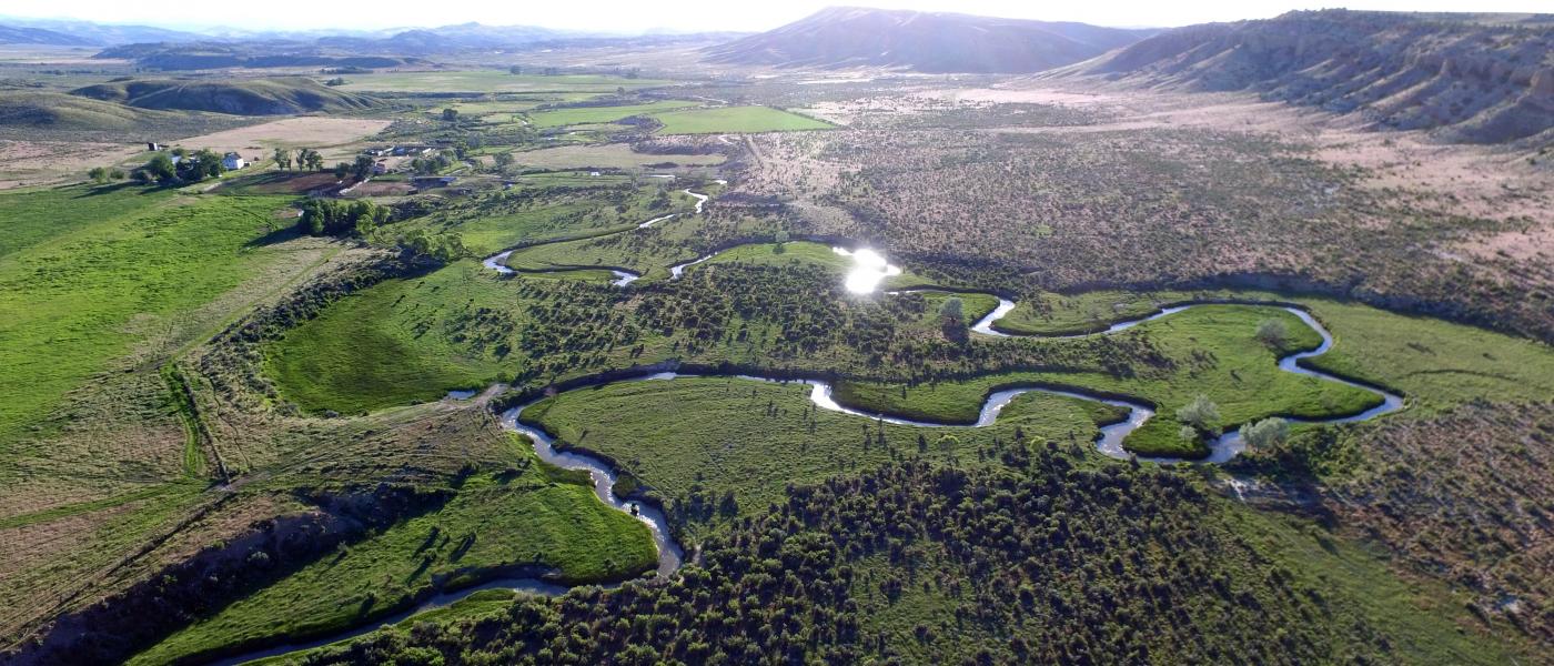
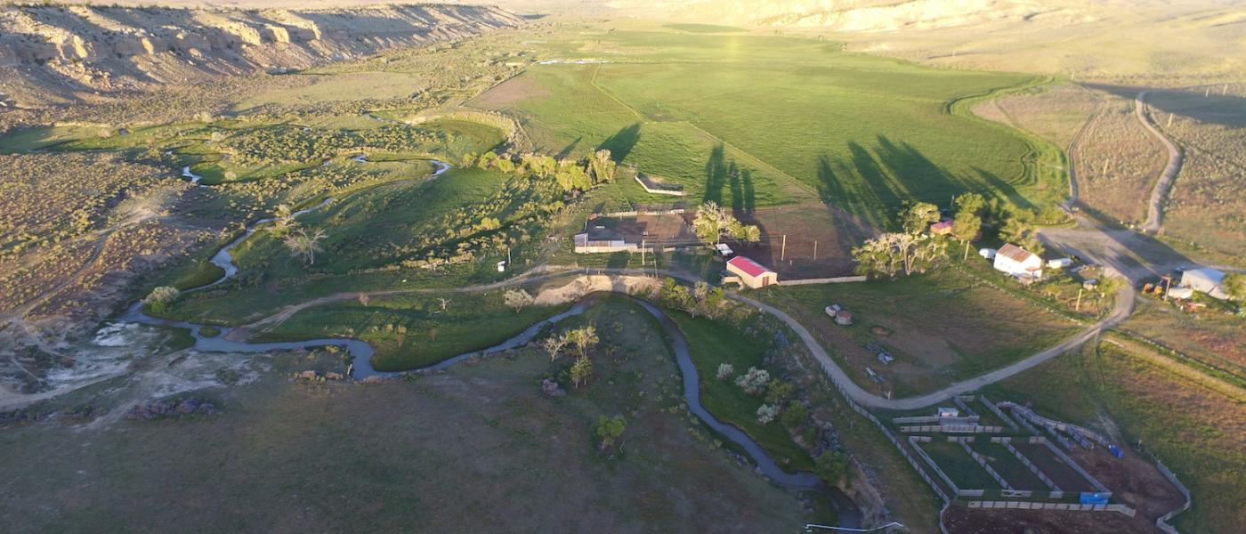
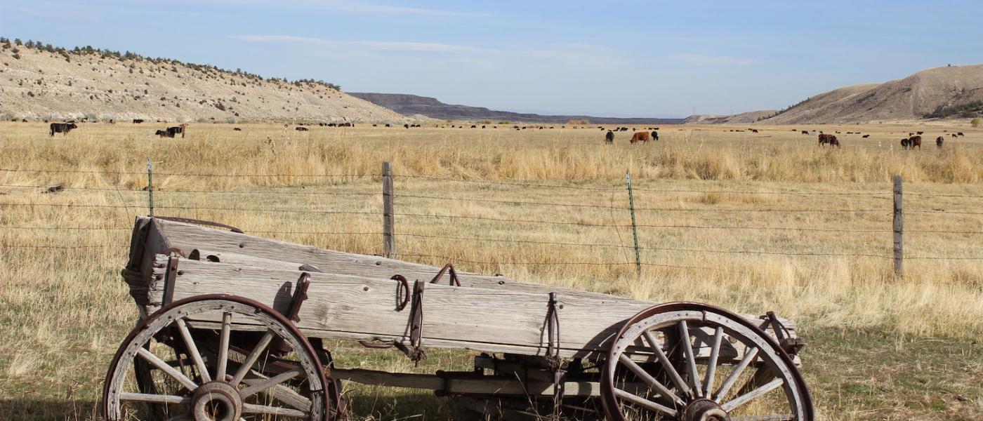
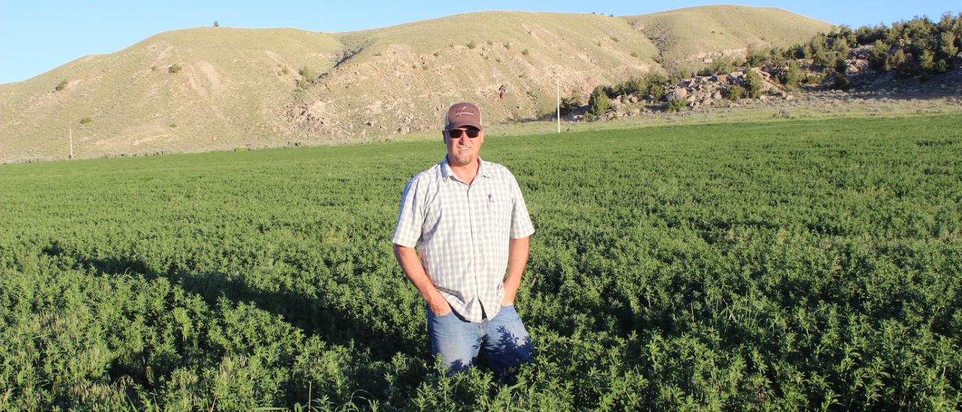
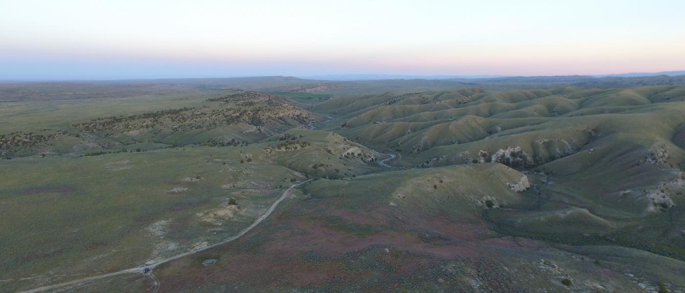
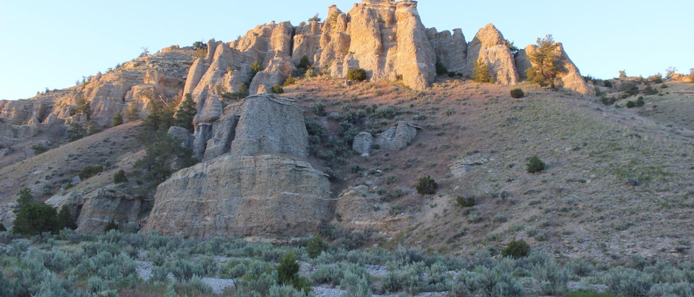
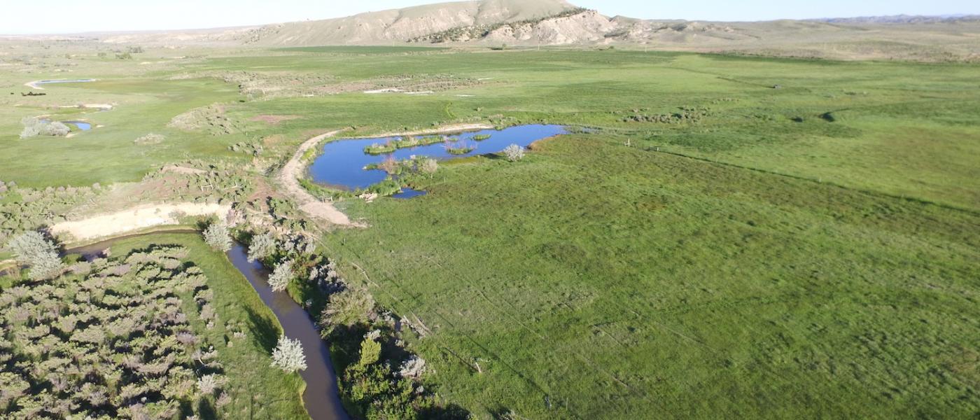
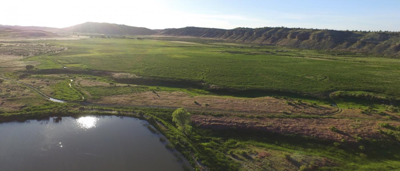
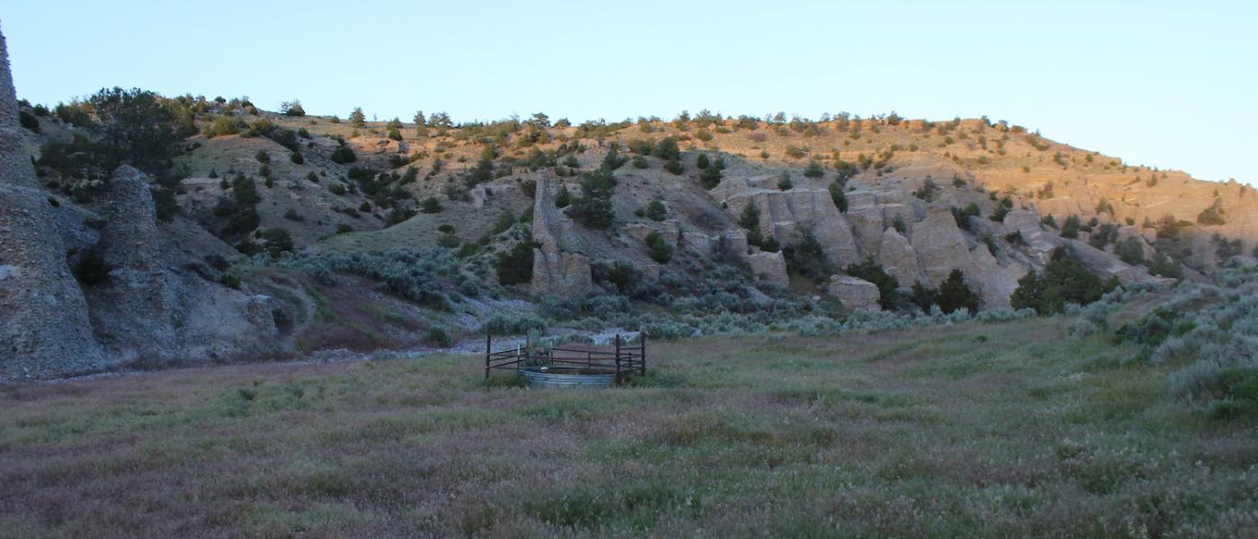
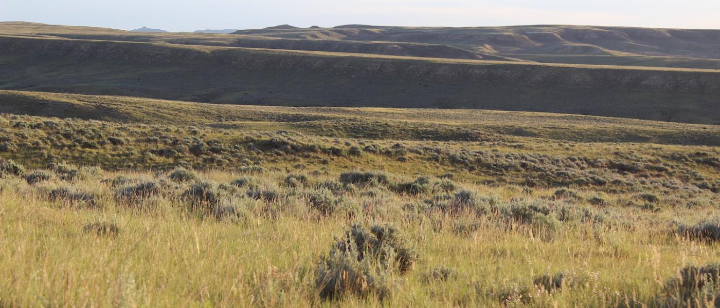
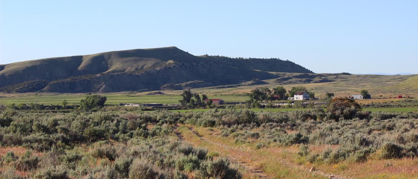
The Quartz Gulch Ranch is located in the eastern foothills of the Absaroka MountainS originally homesteaded by the Hillberry Sisters in the early 1900's for which the dramatic rimrock feature of the property is named. Totaling 16,175+/- acres, the ranch consists of 4,750+/- deeded acres, 9,187+/- acres of BLM, and 2,238 acres of State grazing lease. The ranch is well balanced with nearly 200 acres of irrigated hay fields including a new 66 acre pivot all served by newly installed gravity flow pipeline. With three and a half miles of creek bottom and contiguous summer pasture this ranch is a true year around and well balanced operation. Situated in one of most desirable locations in Wyoming it must be on your short list if you are seeking a historic low overhead ranch at an affordable price per animal unit.
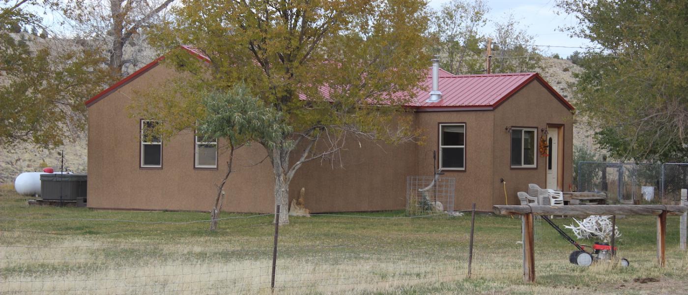
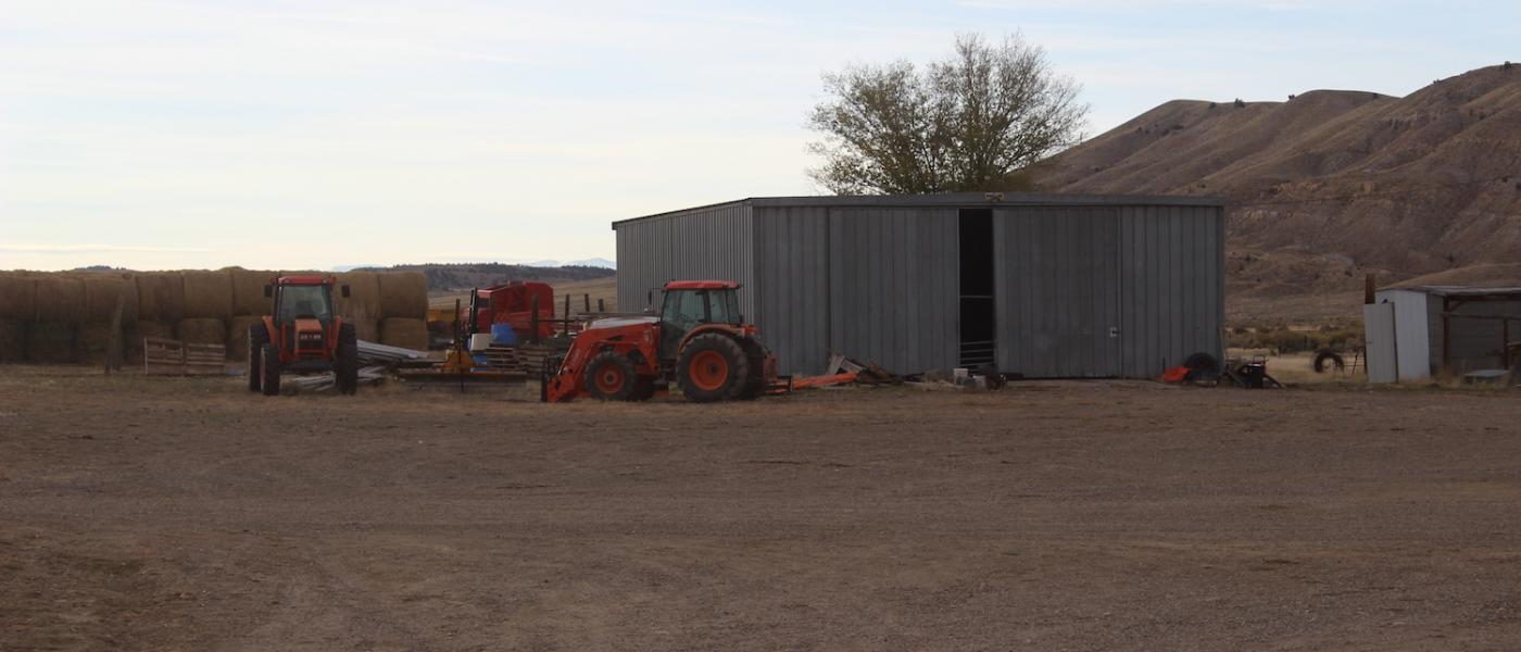
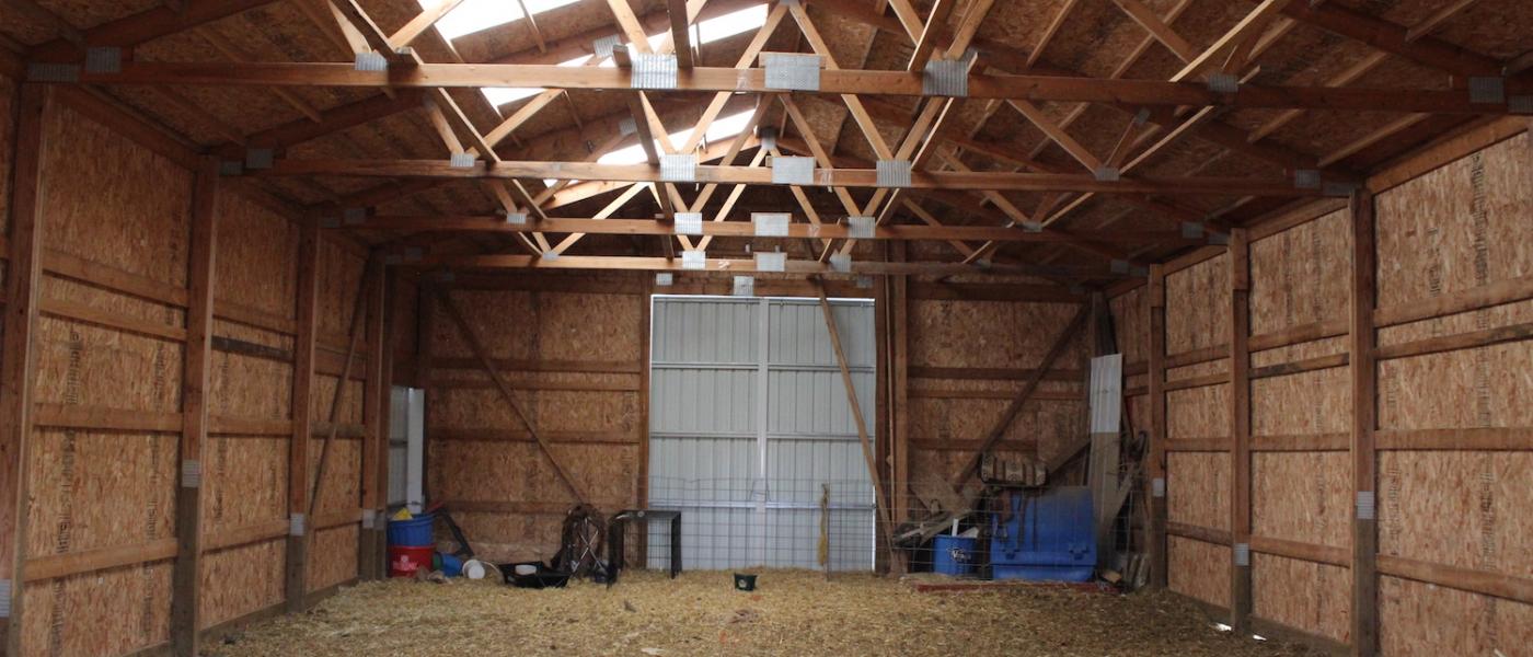
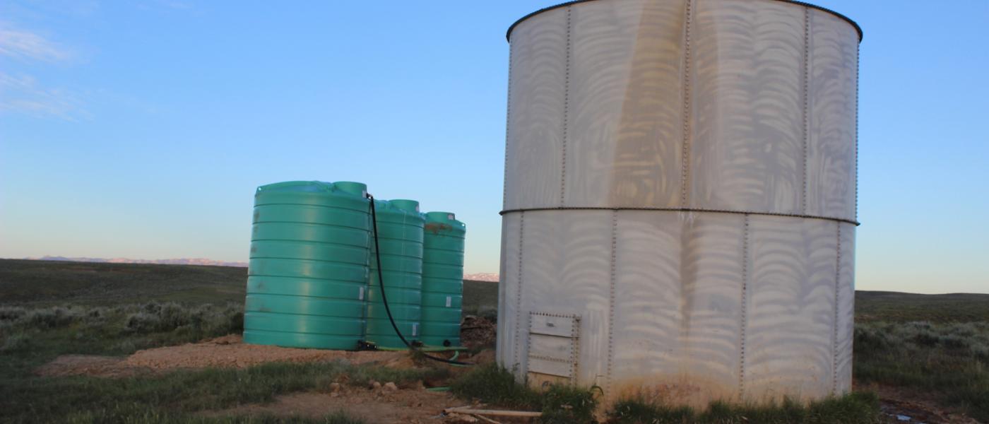
Working improvements include a metal 1,862 sq ft equipment shop, a new 1,680 sq ft pole building, miscellaneous loafing sheds and utility buildings, and well conceived corrals with livestock scales and shipping capabilities. The homestead is nicely situated along Gooseberry Creek overlooking the irrigated hay meadows to the east and Hillberry Rim to the north. Additional pens are located in the mature shelter belt for holding livestock and calving season. A newly remodeled 1,504 square foot single story home completes the buildings and provides a modest yet very functional headquarters. The beautiful thing about this property is it is priced only on land values allowing a new owner to build a new headquarters home.
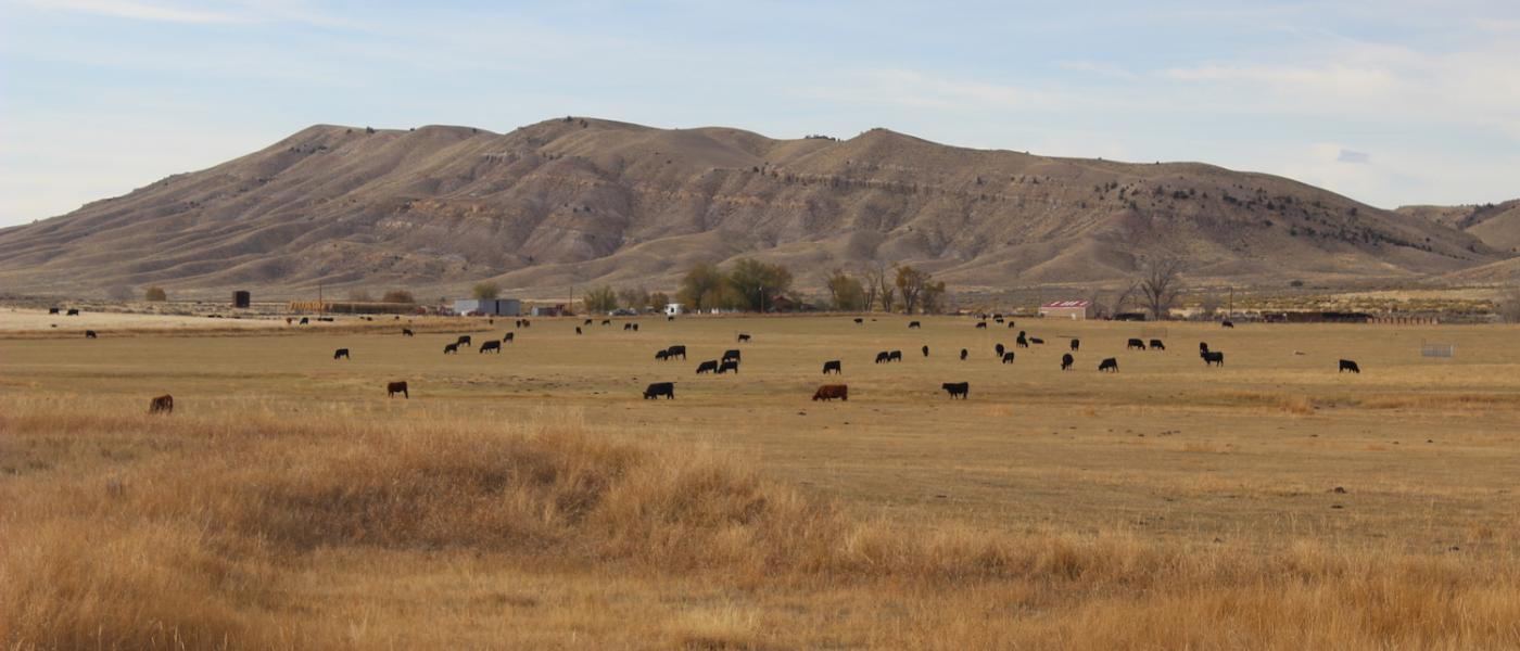
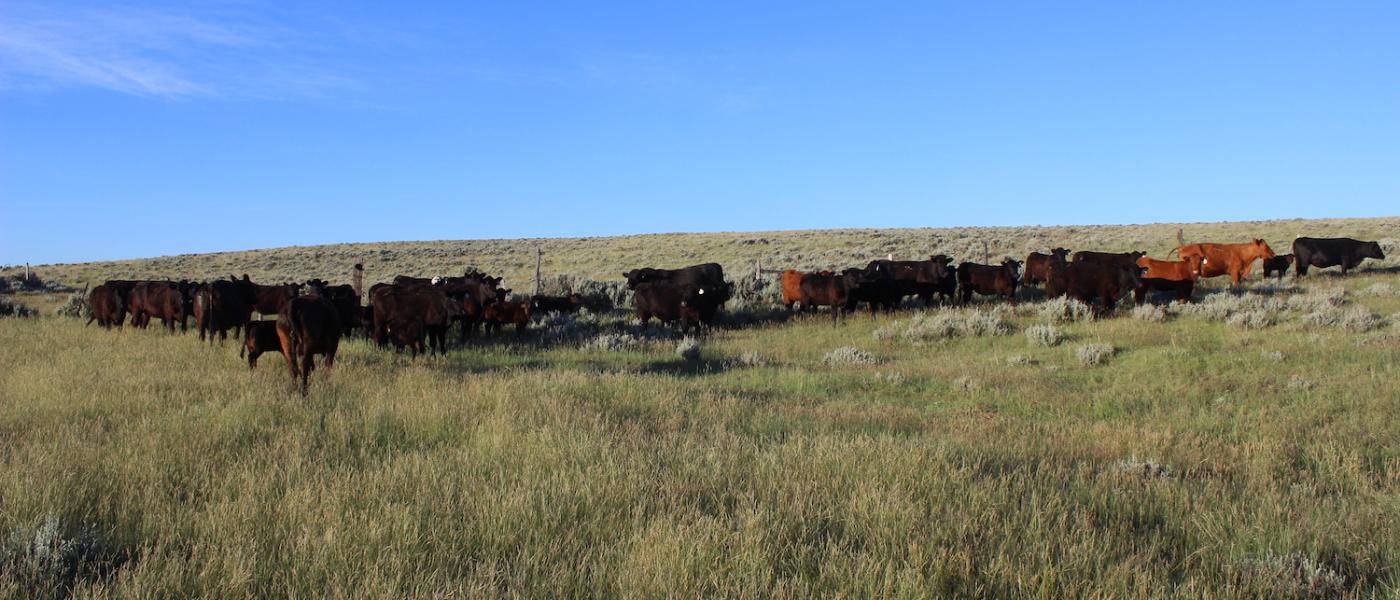
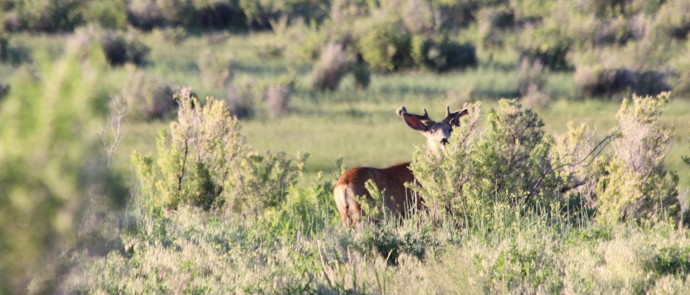
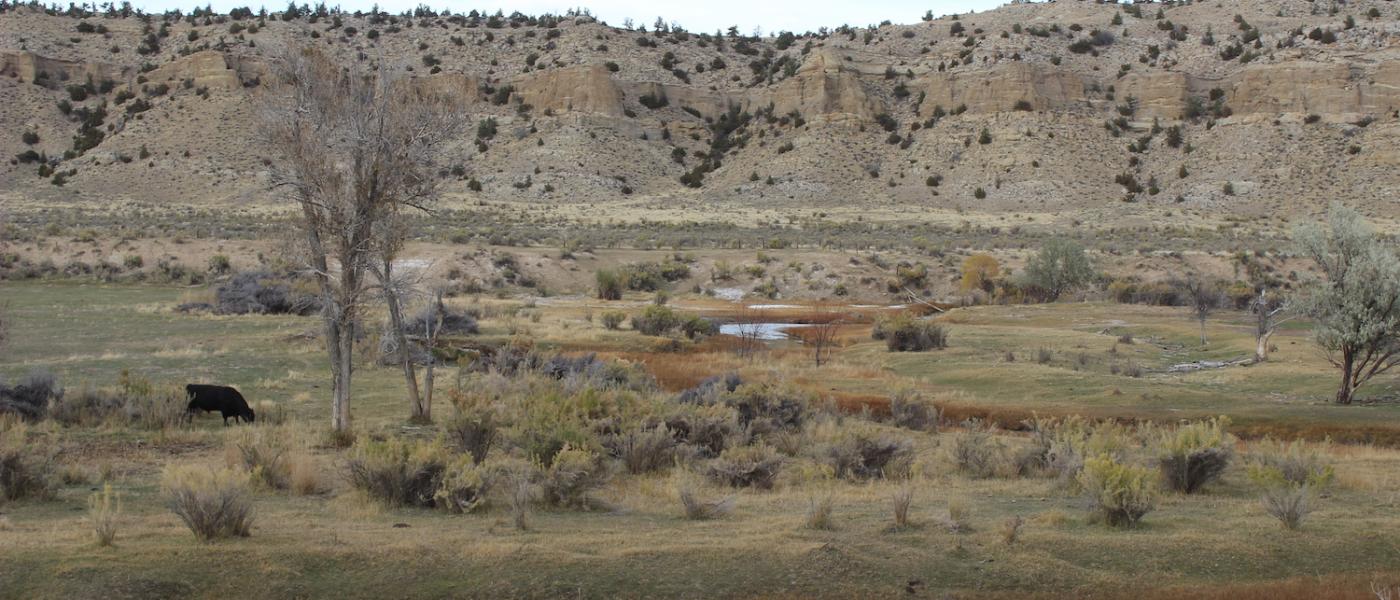
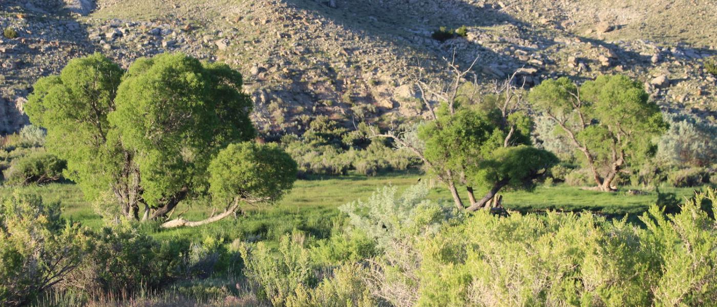
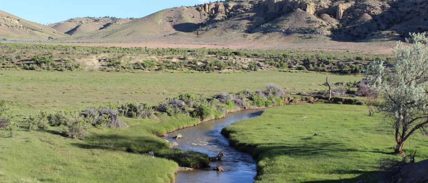
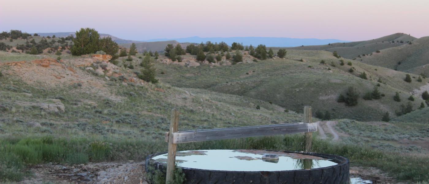
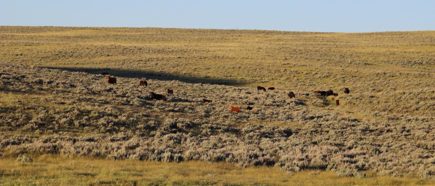
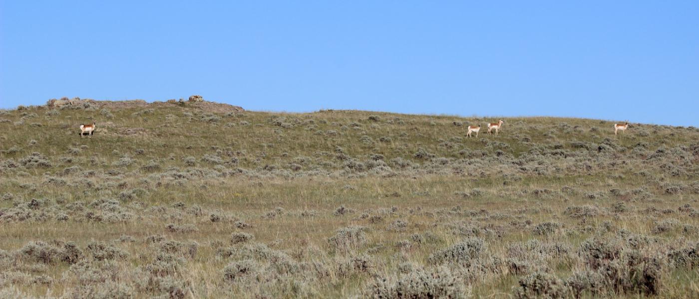
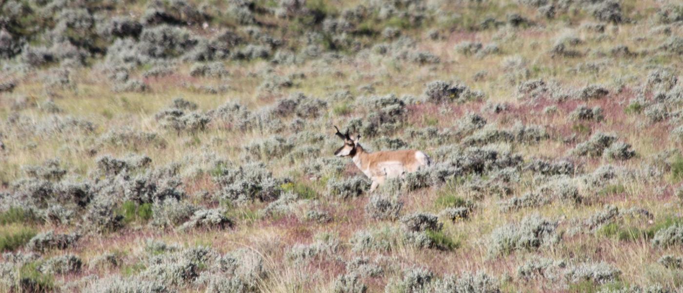
The Quartz Gulch Ranch is well balanced with irrigated hay fields and undulating summer pasture. Two year-around streams meander through the ranch, Gooseberry Creek for nearly 2.5 miles and Buffalo Creek for nearly a mile. These streams provide sub-irrigated creek bottom, dependable stock water, and sufficient irrigation for approximately 200+/- acres. The topography and riparian areas provide good winter cover and significant additional forage for both livestock and wildlife. Livestock water is provided by an extensive pipeline system that provides water to tanks throughout the rangeland to maximize use of the available grass on the property by spreading the livestock out. The property is located in a draw area for both deer and antelope. The landowner does receive 2 landowner tags each year for both deer and antelope. Also, upland birds can be found along the creek bottom.
Nestled in the foothills of the Rocky Mountains in the Big Horn Basin of northwestern Wyoming. The The Quartz Gulch Ranch is only a 20 minute drive from Meeteetse and within a 40 to 50 minute drive of Cody, Worland and Thermopolis. Where the rugged Absaroka Mountains meet the Wyoming Bad Lands. Some of the best fishing, hunting, sight seeing and wildlife viewing available anywhere! Enjoy the western charm of nearby Cody with the Irma Hotel, the Buffalo Bill Center, and Yellowstone National Park. The school bus goes to Thermopolis which boasts the world’s largest hot springs or children can be driven to Meeteetse.
Carrying capacity of range country and of harvested feed produced on a ranch can be expressed as animal units or animal unit months. The animal unit (AU) is the annual feed requirement to maintain a mother cow or the equivalent in thrifty condition (with calf at side for six of the twelve months). Carrying capacity is that portion of the animal units of the maximum feed production that can be utilized after consideration of all limiting factors and customary operation practices. Any carrying capacity rating must be estimated with caution, keeping in mind the size and breed of the cows, the weaning weights of the calves, and even the length of time the calves are grazed. A carrying capacity rating can vary as much as 30% to 40%, depending upon the range usages. In addition to pasture rotation and other management factors, such as water availability, livestock type and size, and the length and timing of pasture season. A properties total carrying capacity is also affected by external influences such as topography, rainfall, pests, wildlife, and other numerous influences.
Contact
PHONE: (307) 217-2777
Site Links
HomeFarm & Ranch Properties
Residential & Recreational Properties
Auctions
Buying & Selling
About Us
Contact Us
Disclaimer
Content on this website is for general information only and has been obtained from sources deemed reliable; however, the accuracy of this information is not guaranteed or warranted by Powers Land Brokerage, LLC. Listings are subject to prior sale, price change, correction or withdrawal without notice. Visitors are charged with making and are expected to conduct their own independent investigation of the information provided, directly or indirectly, by this website or Powers Land Brokerage, LLC.