Rivers Bend
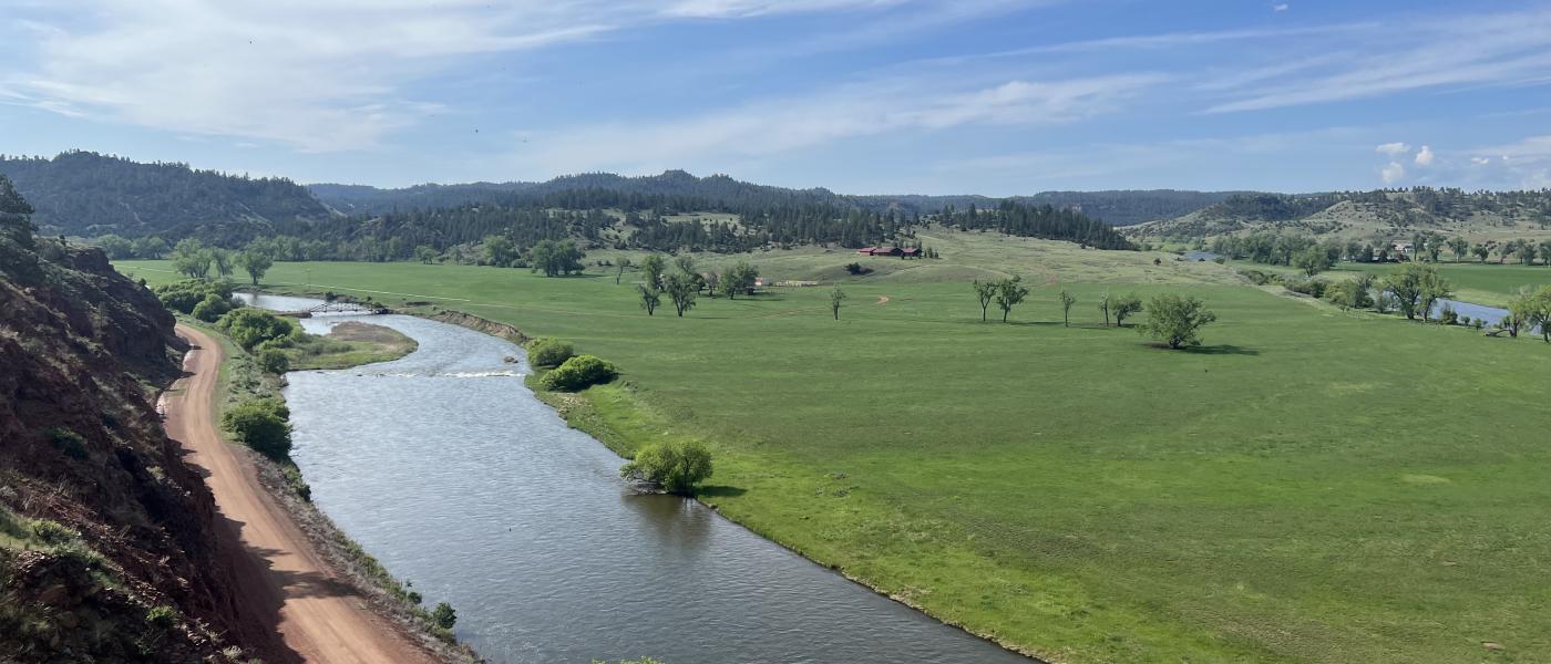
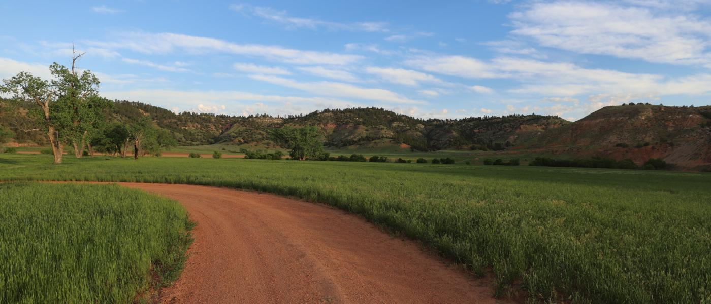
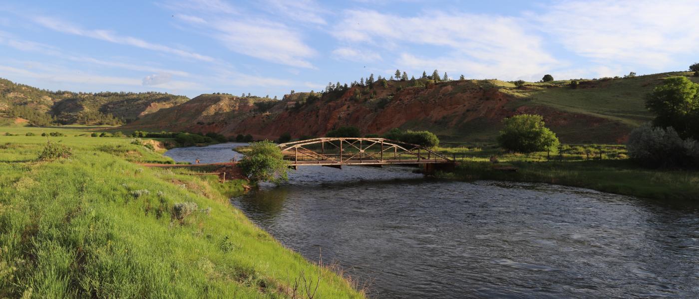
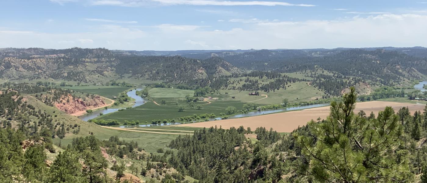
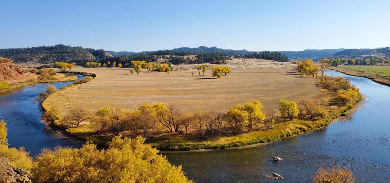
The River Bend is a very unique Montana ranch located 45 minutes northeast of Sheridan, Wyoming. The Tongue River, one of the region's most prolific watersheds, carved out the distinctive feature of the ranch. The Ranch holds 2,337+/- deeded acres and is strategically located adjacent to 9 sections of BLM and State lands that are proven to produce record sized elk. With direct flow irrigation rights and shares in the Tongue River Reservoir the ranch is well balanced for both livestock production and game managment. The nicely appointed log home and working improvements make this real estate offering ready to move into and put to your use.
The Offering
_______________________________________________________________________________________________________________________
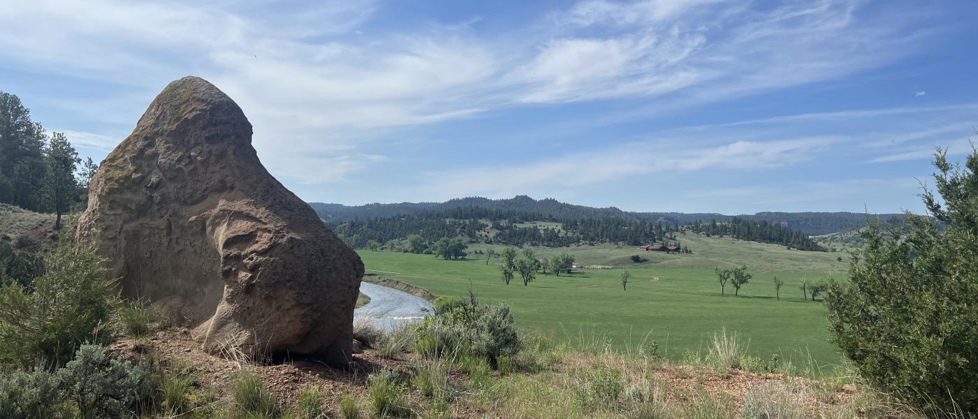
Totalling 3,700+/- acres including 2,337 +/- deeded, 640 +/- Montana State, and 720 +/- BLM acres. Harris Creek which runs through the south half of the ranch is a main elk corridore connecting the massive ranches bordering Rivers Bend to its irrigated meadows.
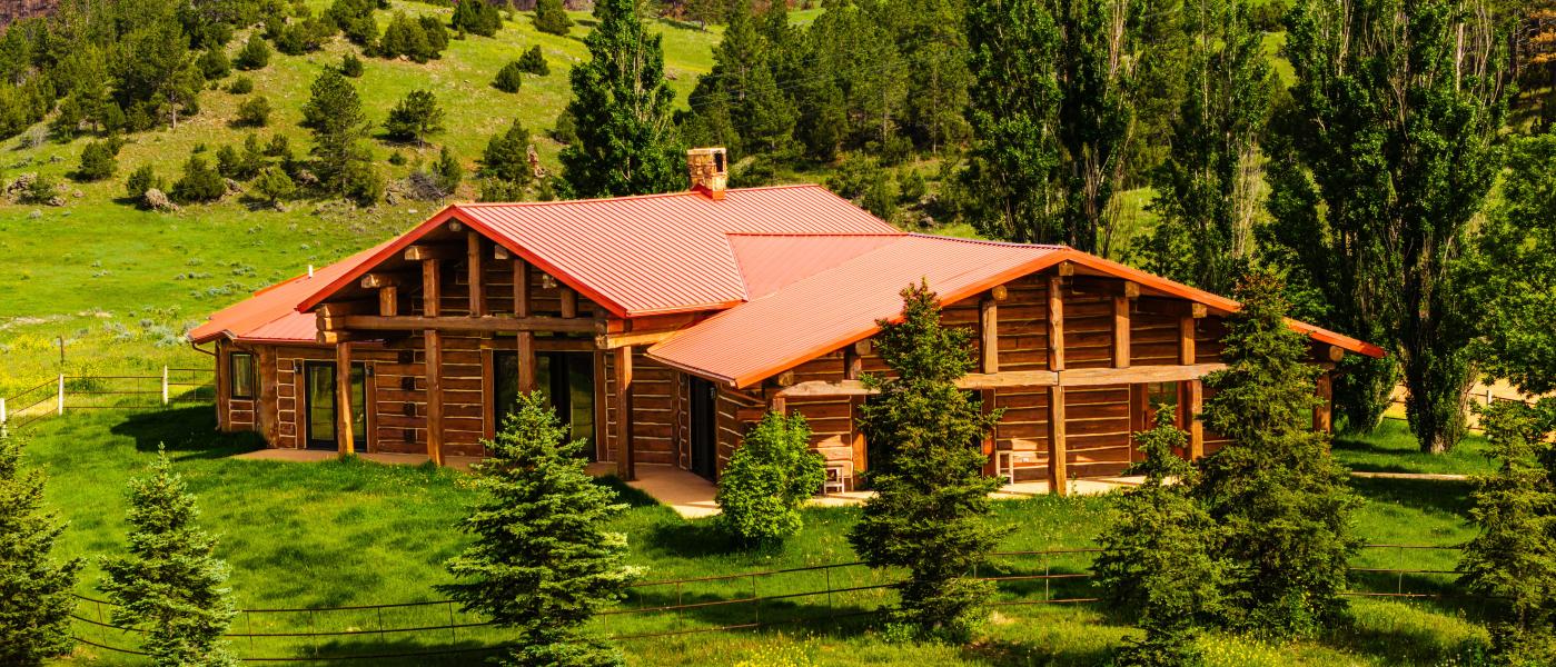
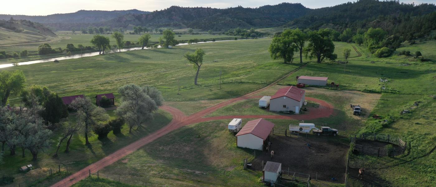
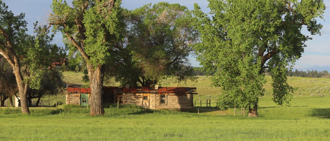
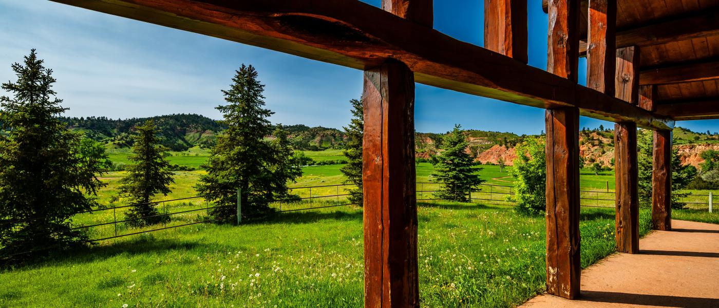
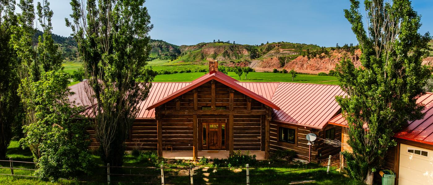
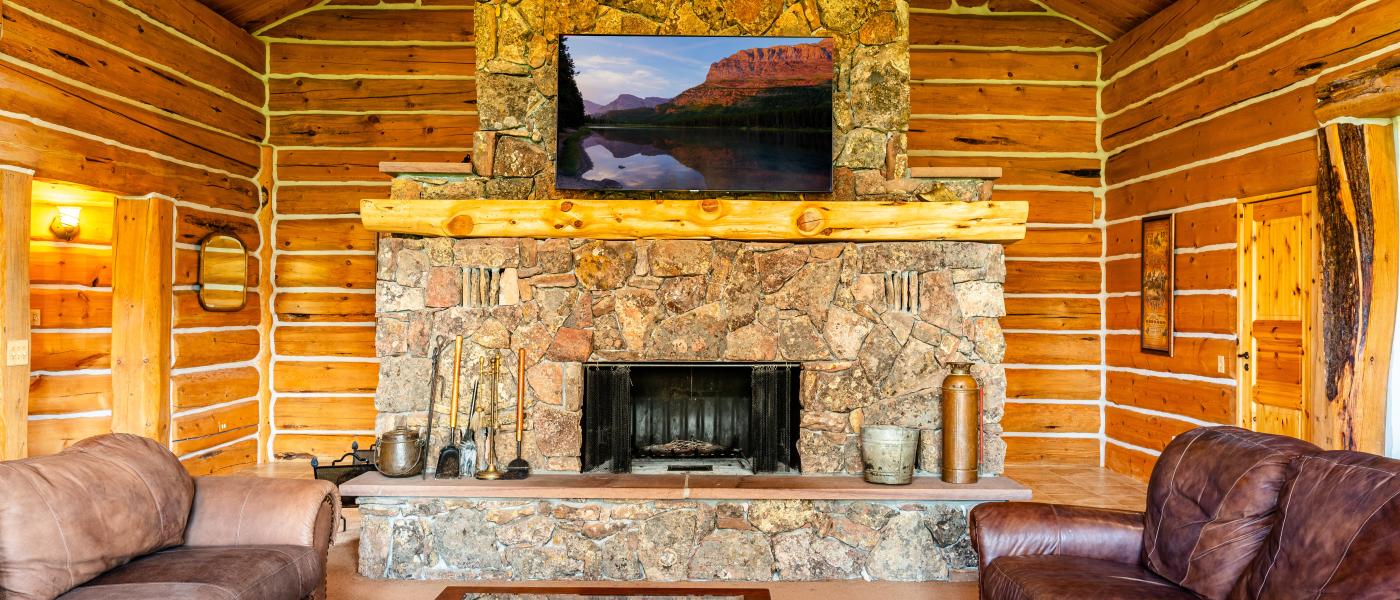
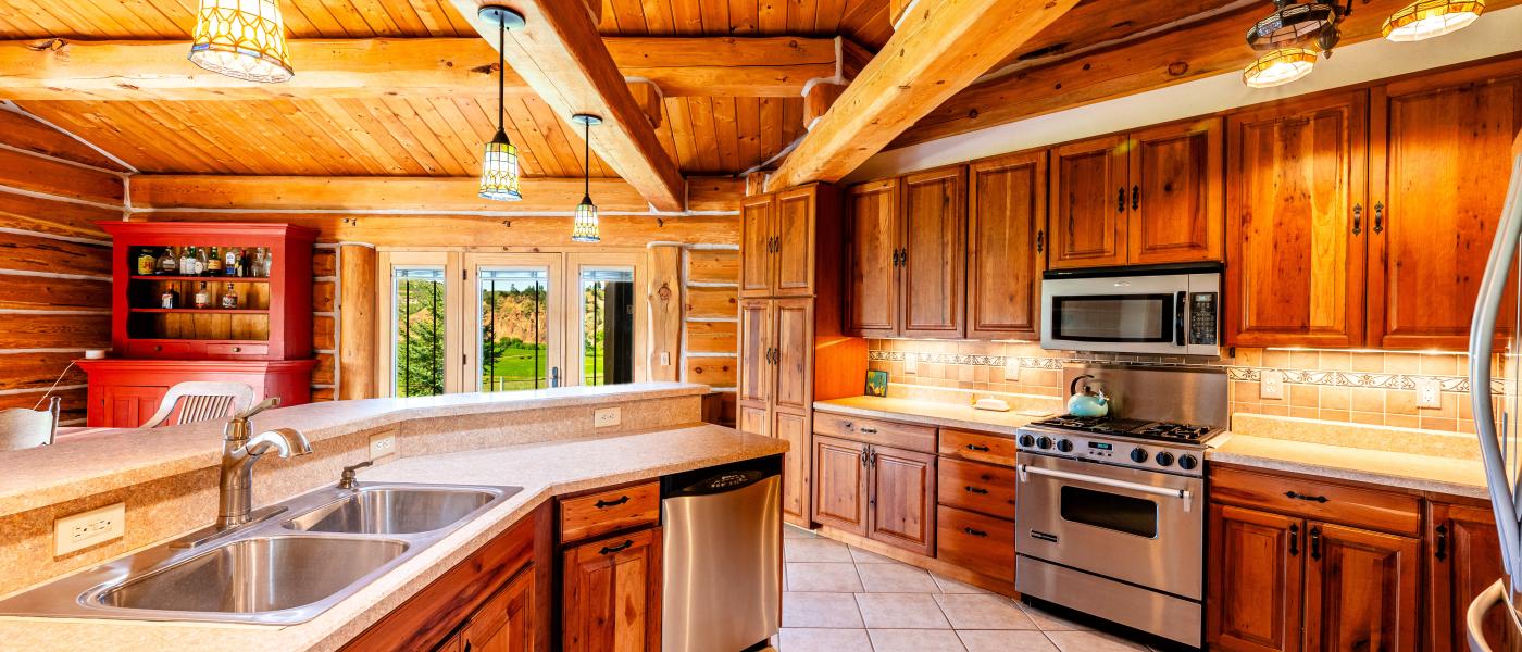
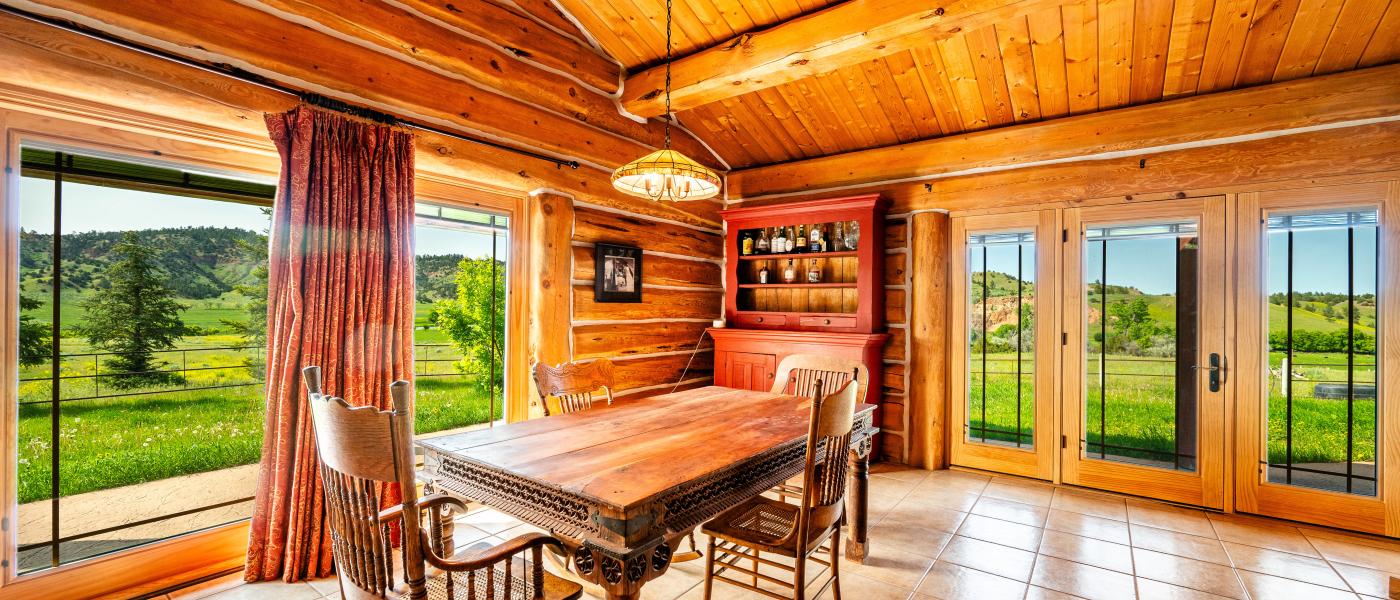
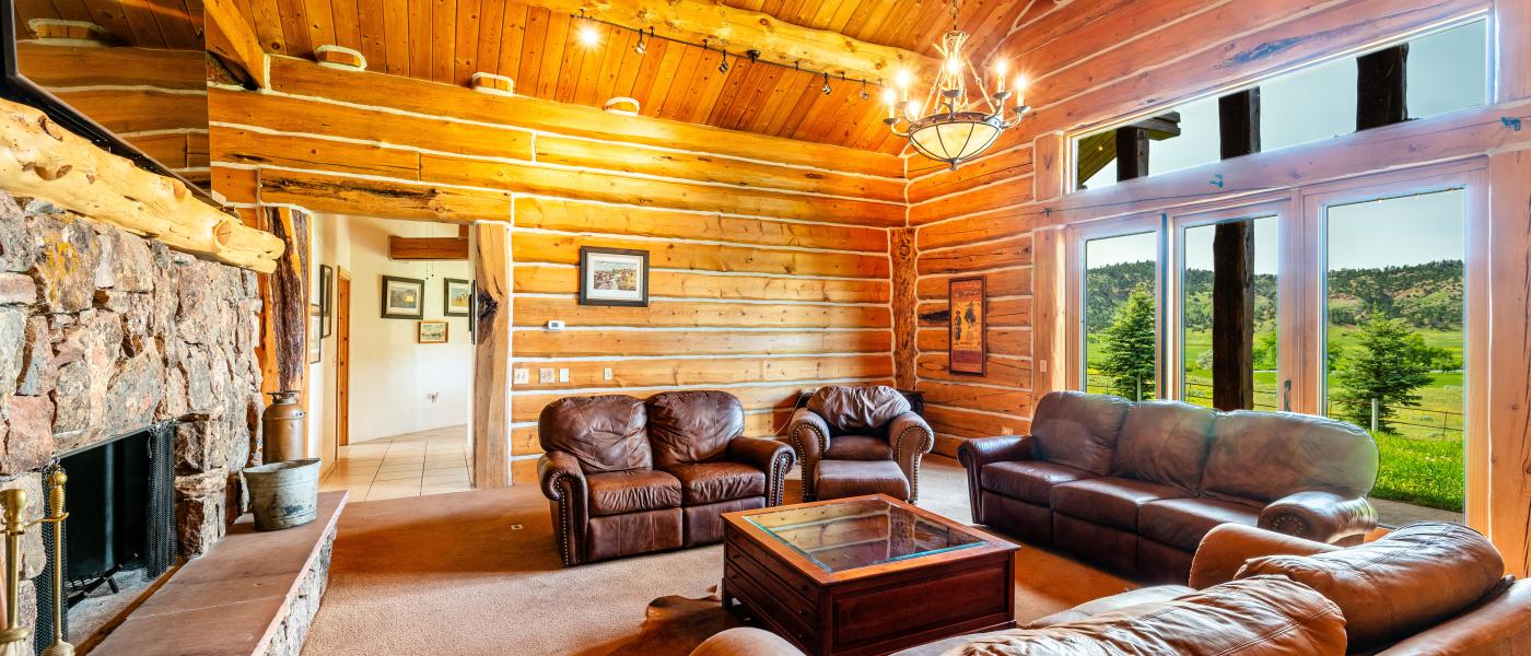
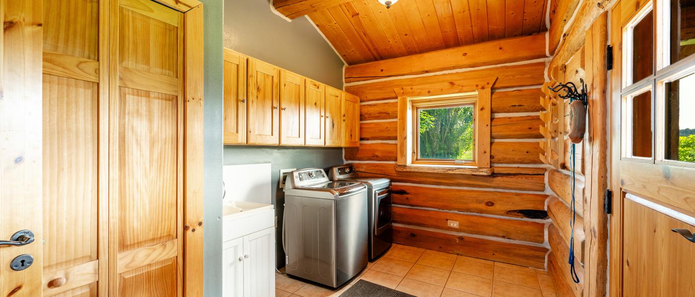
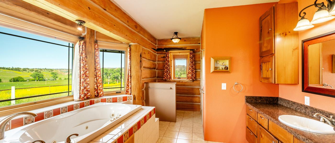
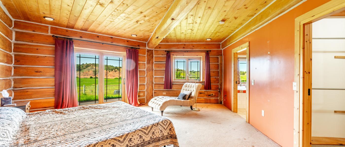
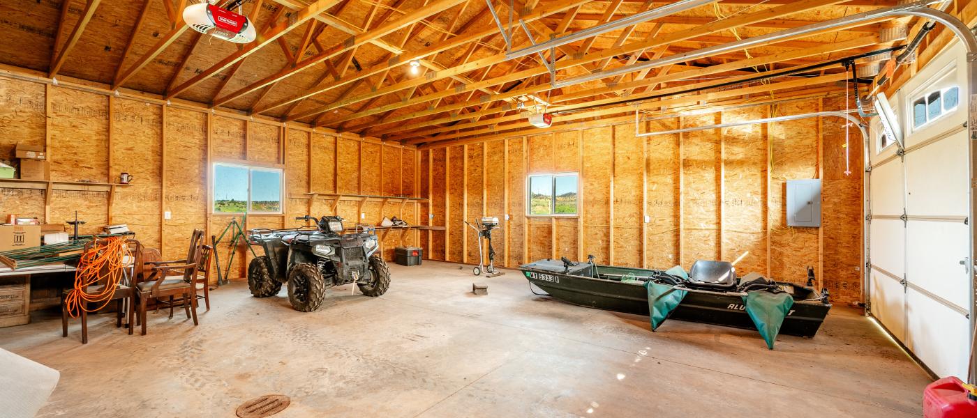
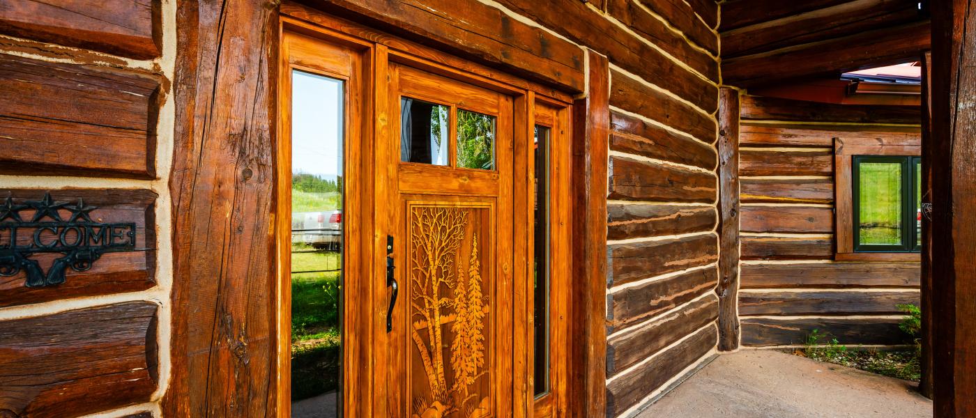
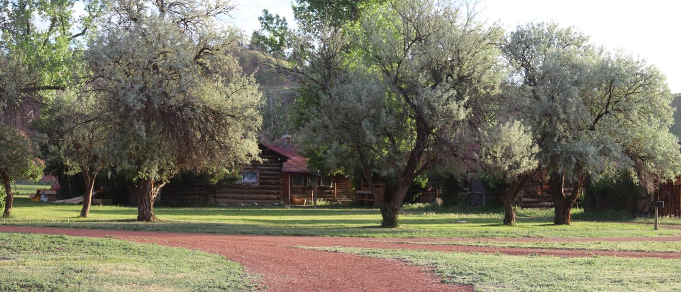
The Rivers Bend Ranch includes a 3 bedrooms, 2 bath, 2,700 sq. ft. custom log home built in 2012 with a detached 2 stall garage and heated gun room. The home is situated on an elevated scenic overlook, with incredible vistas of the river, meadows, and painted bluffs, and forested foothills. There are also several historic cabins, a horse barn, airplane hangar, and a heated shop. The infrastructure in place provides great recreational and agricultural opportunities to maintain a true living Montana ranch in cohesion with the natural environment.
Hunting & Fishing Opportunities
_______________________________________________________________________________________________________________________
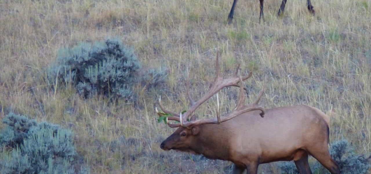
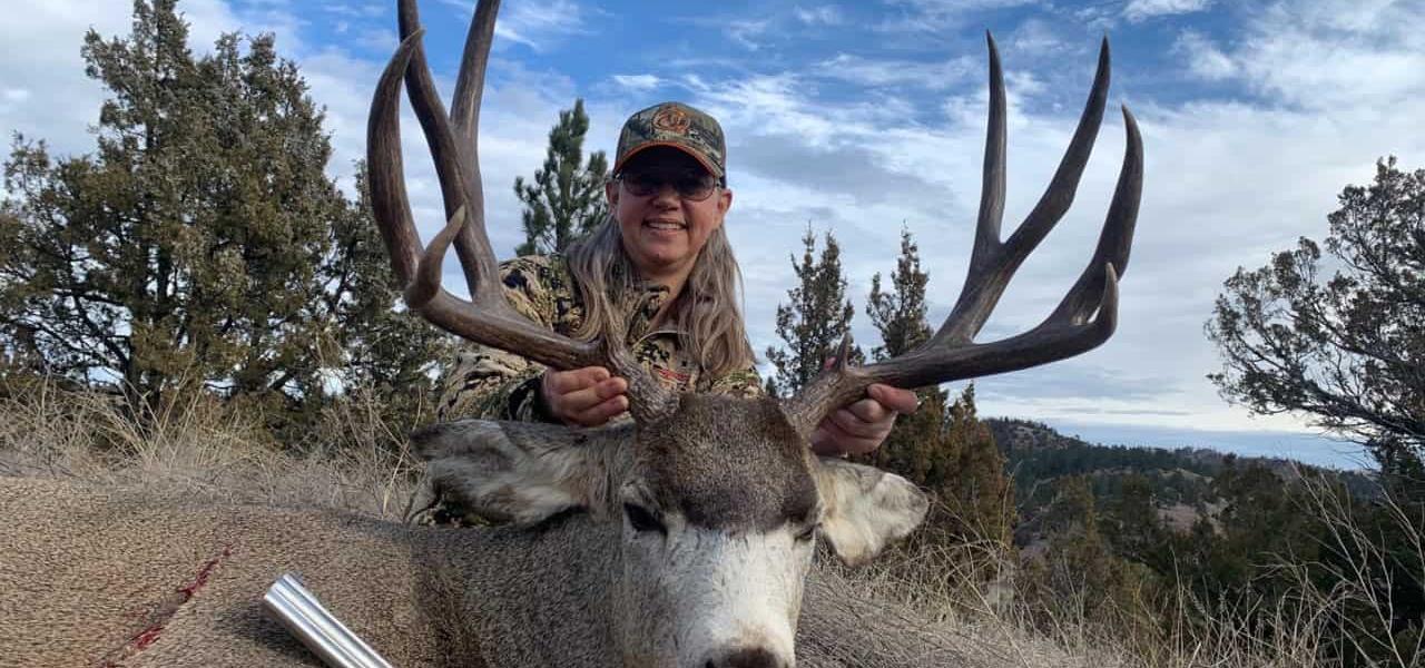
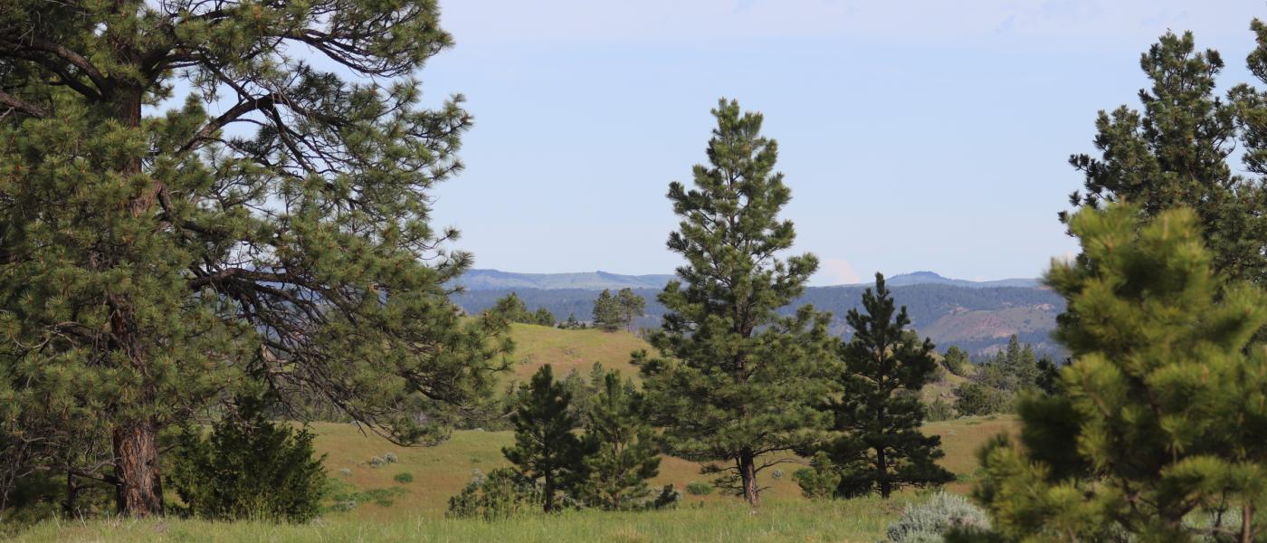
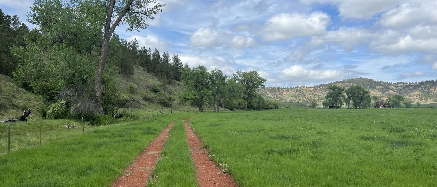
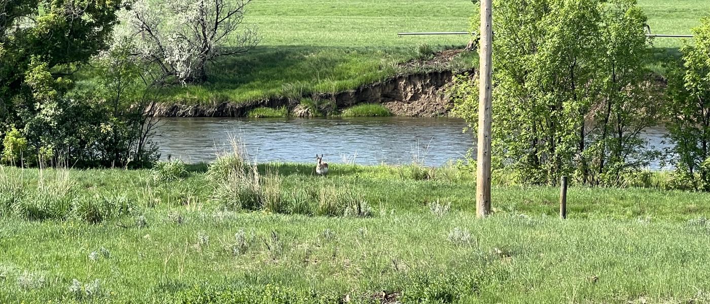
The ranch and surrounding area provides extraordinary big-game hunting for trophy elk, mule deer and white-tailed deer with several record class animals, including the famed “Phantom Bull.” This staggering bull elk as reported to score 436” and spent much of his life on the ranch. There have been another 4-5 bulls harvested in the area in recent years that have scored between 400-425″. There is approximately one-mile of river frontage of the Tongue River which provides endless fishing opportunities for trout, walleye, bass, crappie, perch, and northern pike, as well as action-packed waterfowl hunting through the fall and early winter season. Other hunting opportunities include turkey, grouse, black bear, mountain lion, all of which are plentiful on the ranch and surrounding area. The Rivers Bend Ranch has miles of two-track roads and trails, making the ranch very accessible by vehicle, ATV, mountain bike, foot, snowmobile, and horseback. It truly provides one with all sorts of year-round recreational opportunities.
Water and Agriculture
_______________________________________________________________________________________________________________________
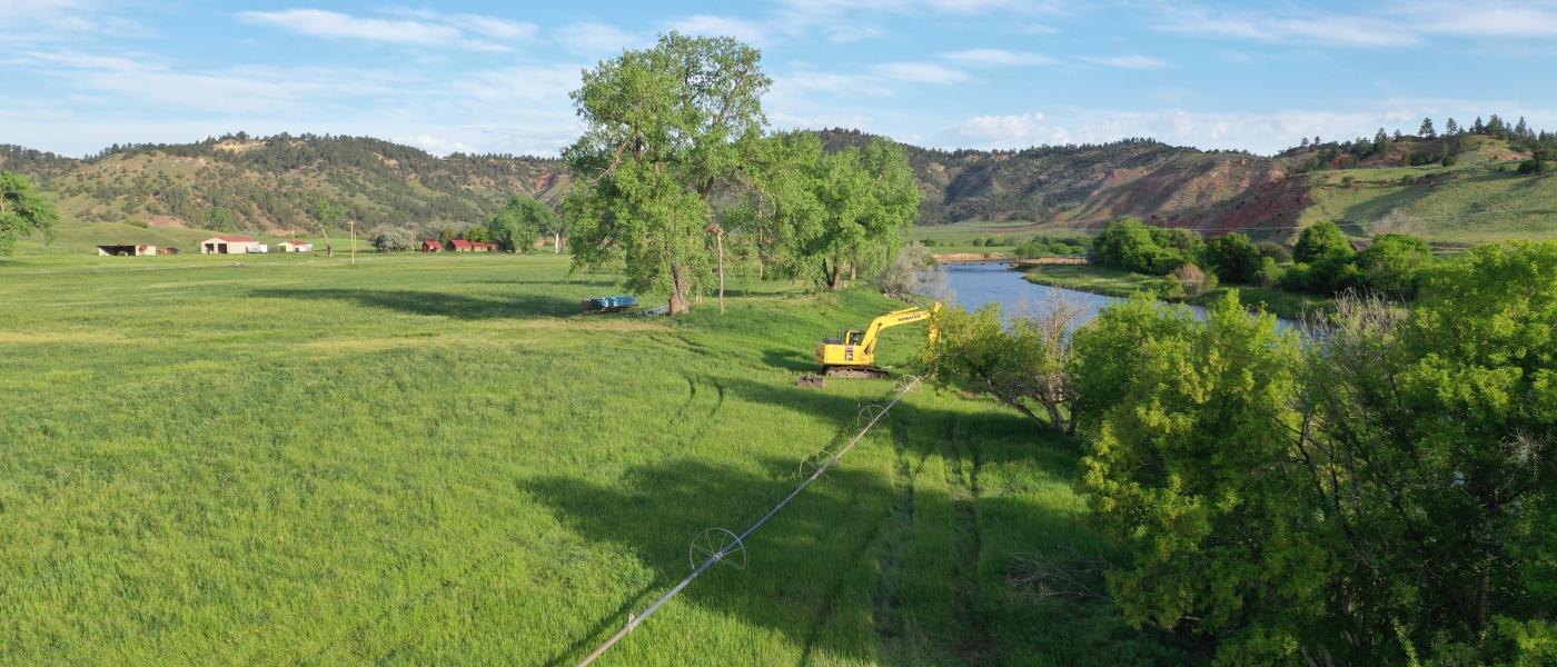
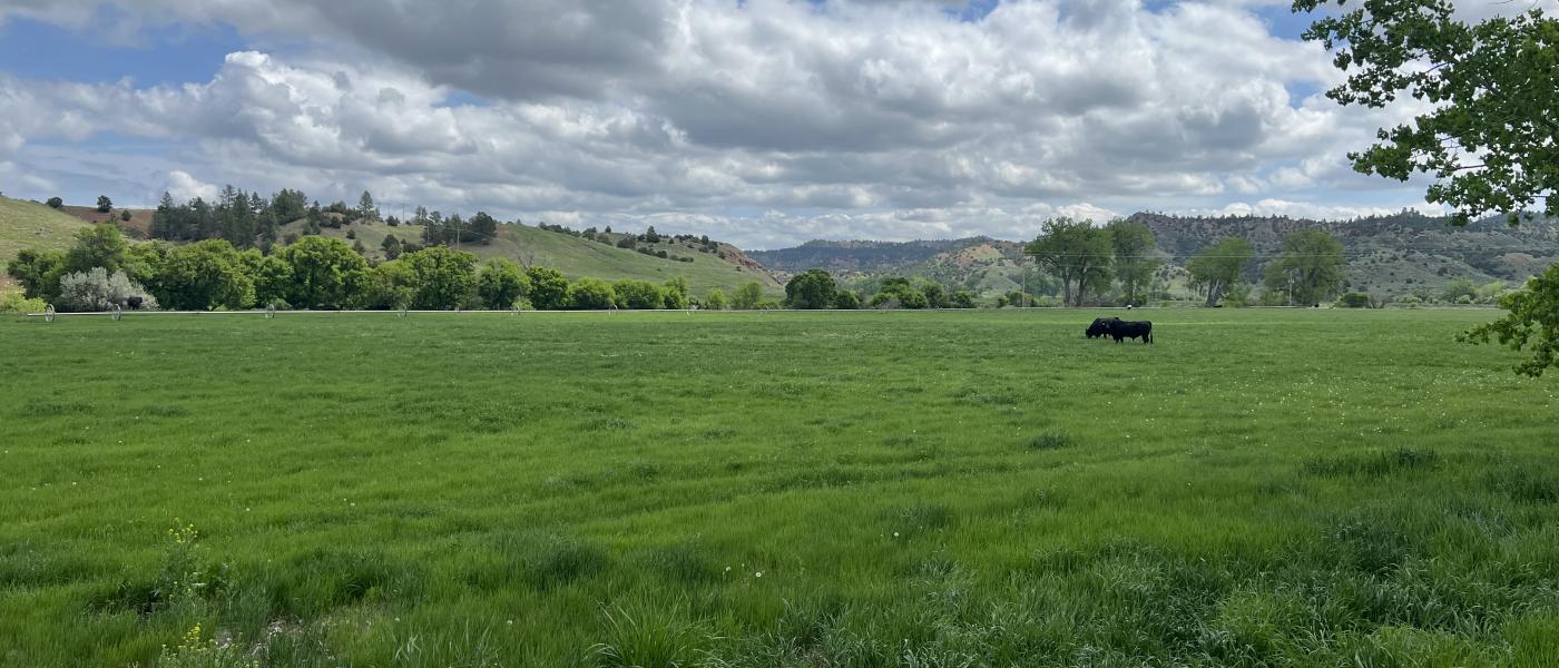
The land benefits from approximately 76 acres of direct flow irrigation rights and an additional 90 shares of Tongue River Water Association storage water. A side roll irrigation system waters 35+- acres. The ranch is owner rated at 100+/- animal units but has been traditionally leased by a large adjacent ranch for seasonal grazing. The Rivers Bend Ranch provides many agricultural opportunities to create a sustainable living lifestyle in Montana.
History
_______________________________________________________________________________________________________________________
The historic town of Birney, Montana is 13 miles away and is around a 30 minute drive on the well maintained county road 566. Original homestead buildings are located on near the working improvements and have been used to house the ranch manager. The one room school house from days of past is located near the ranch bridge. The 2024 fire affected some of the land on the south part of the ranch.
Location
_______________________________________________________________________________________________________________________
The Rivers Bend is within close proximity to the historic western town of Sheridan, Wyoming, providing commercial air service, fine dining, shopping, arts, and medical facilities. Located 50 miles from the historic, western town of Sheridan, Wyoming, it is a little over an hour drive on highway 338/314 and county road 566. Sheridan offers a commercial airport serviced by United Airlines and offers multiple flight options to and from Denver International Airport every day.
**Selling Agent is related to the Seller
Contact
PHONE: (307) 217-2777
Site Links
HomeFarm & Ranch Properties
Residential & Recreational Properties
Auctions
Buying & Selling
Panacea
About Us
Contact Us
Disclaimer
Content on this website is for general information only and has been obtained from sources deemed reliable; however, the accuracy of this information is not guaranteed or warranted by Powers Land Brokerage, LLC. Listings are subject to prior sale, price change, correction or withdrawal without notice. Visitors are charged with making and are expected to conduct their own independent investigation of the information provided, directly or indirectly, by this website or Powers Land Brokerage, LLC.