
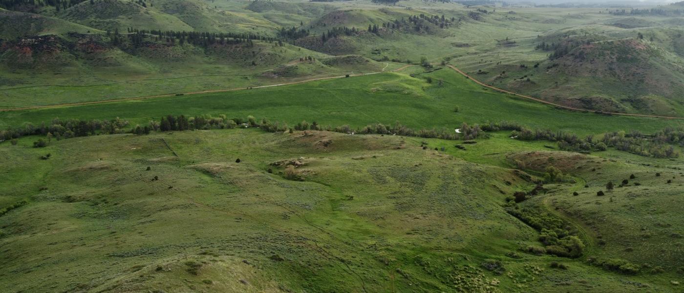
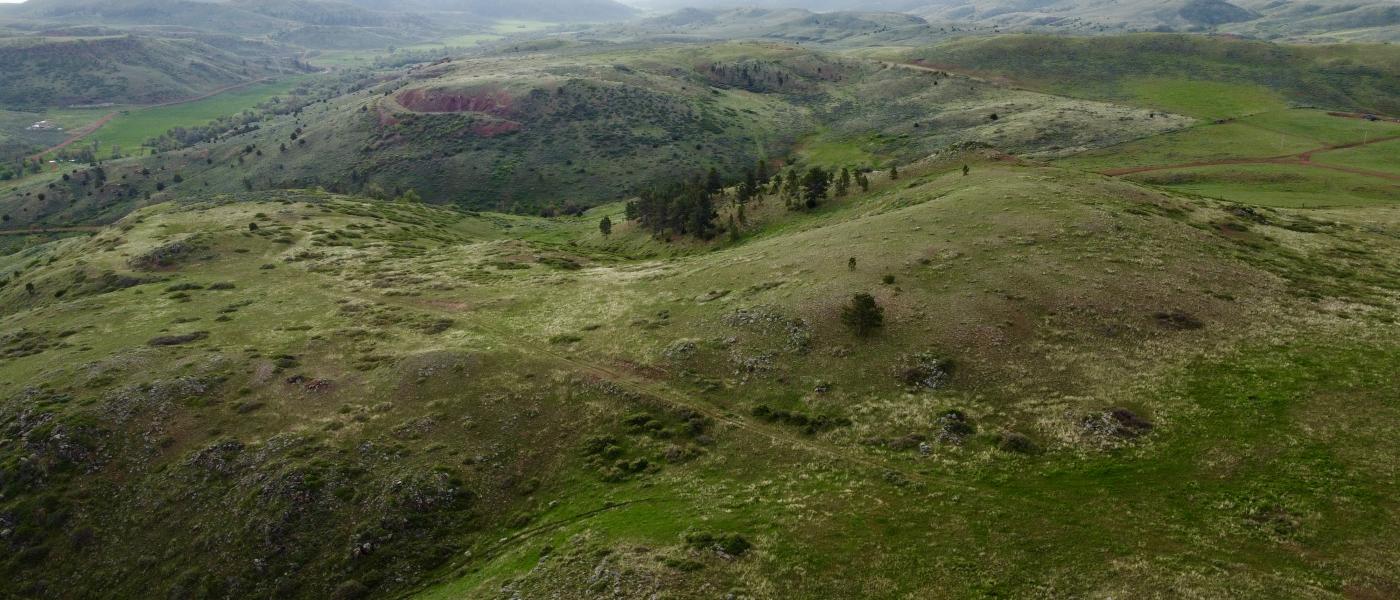
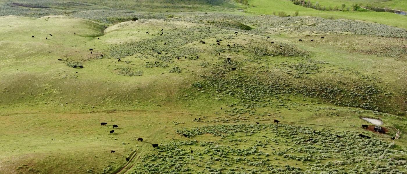
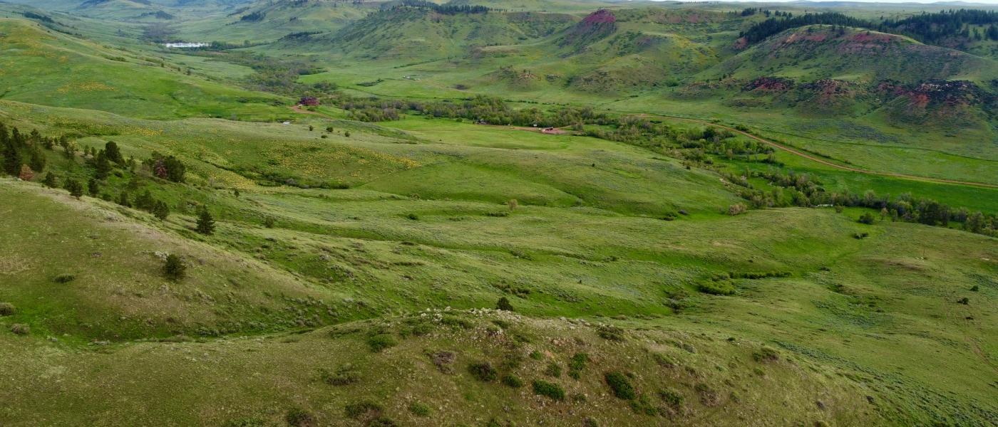
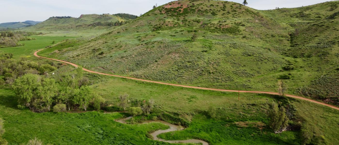
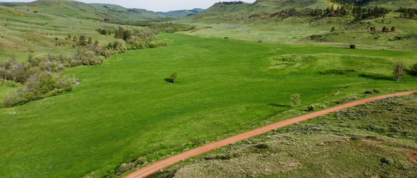

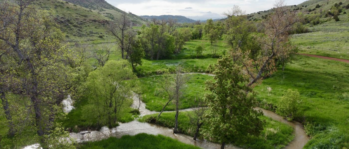
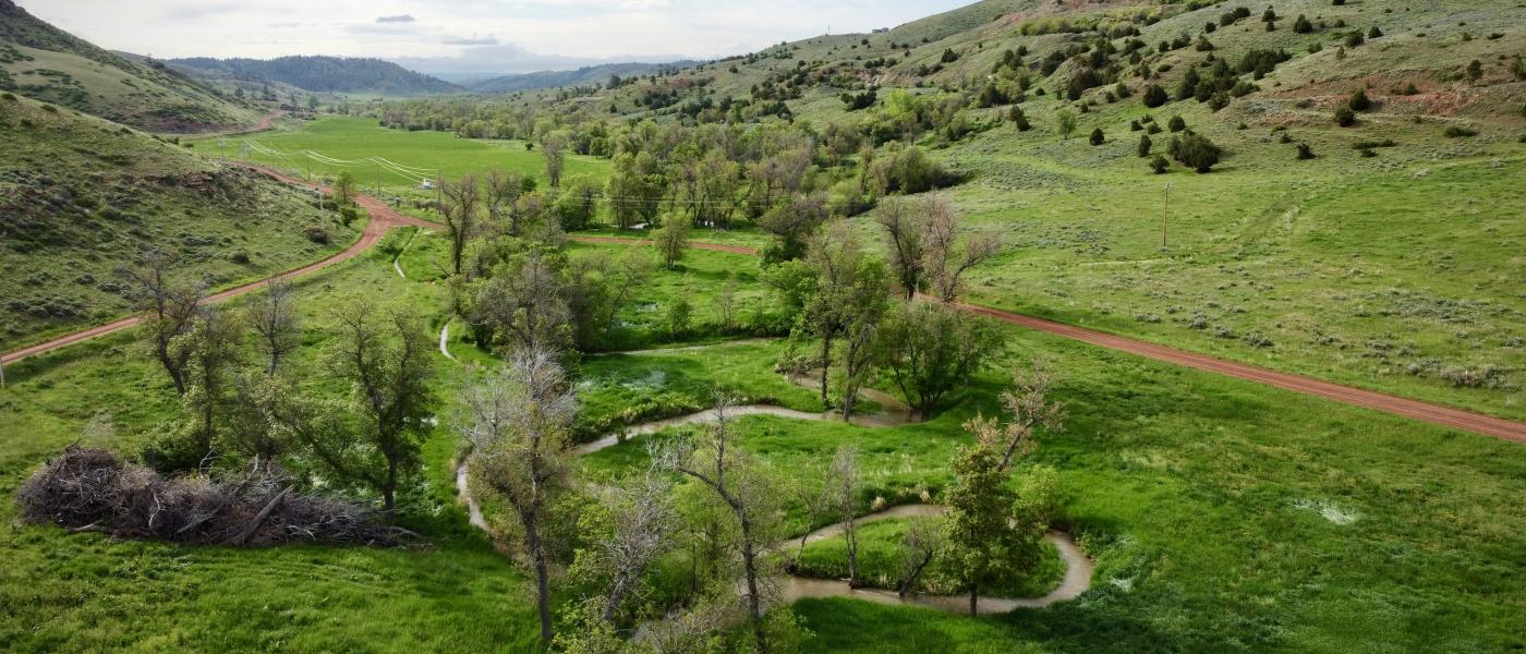
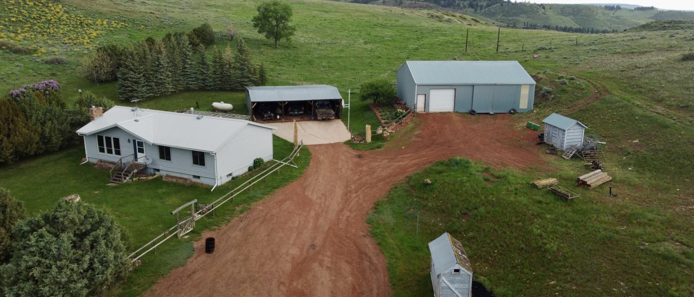
Ash Creek Ranch
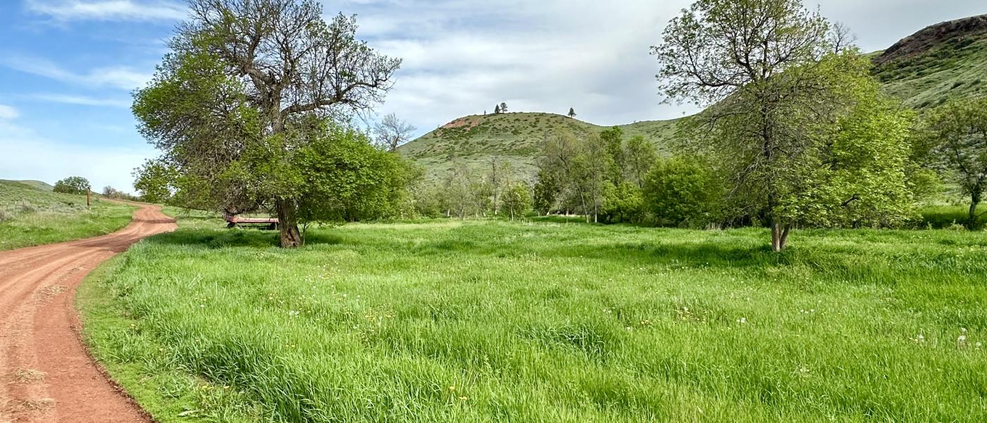
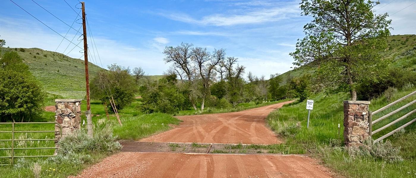
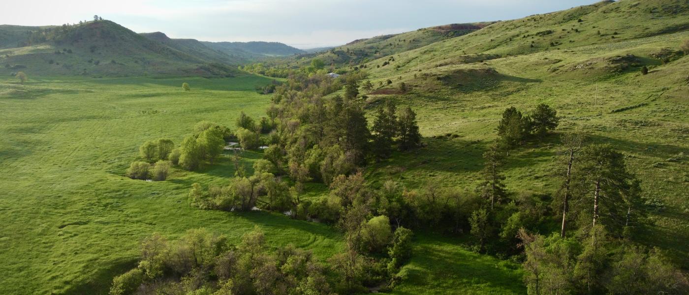
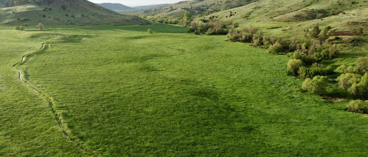
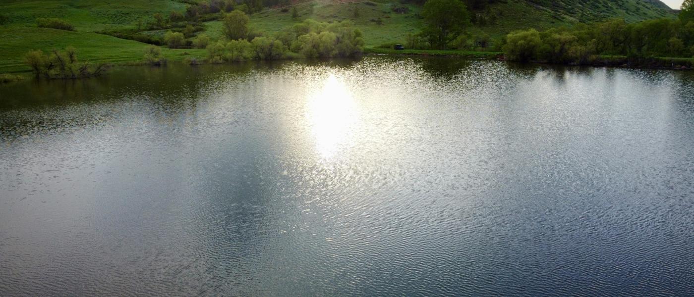
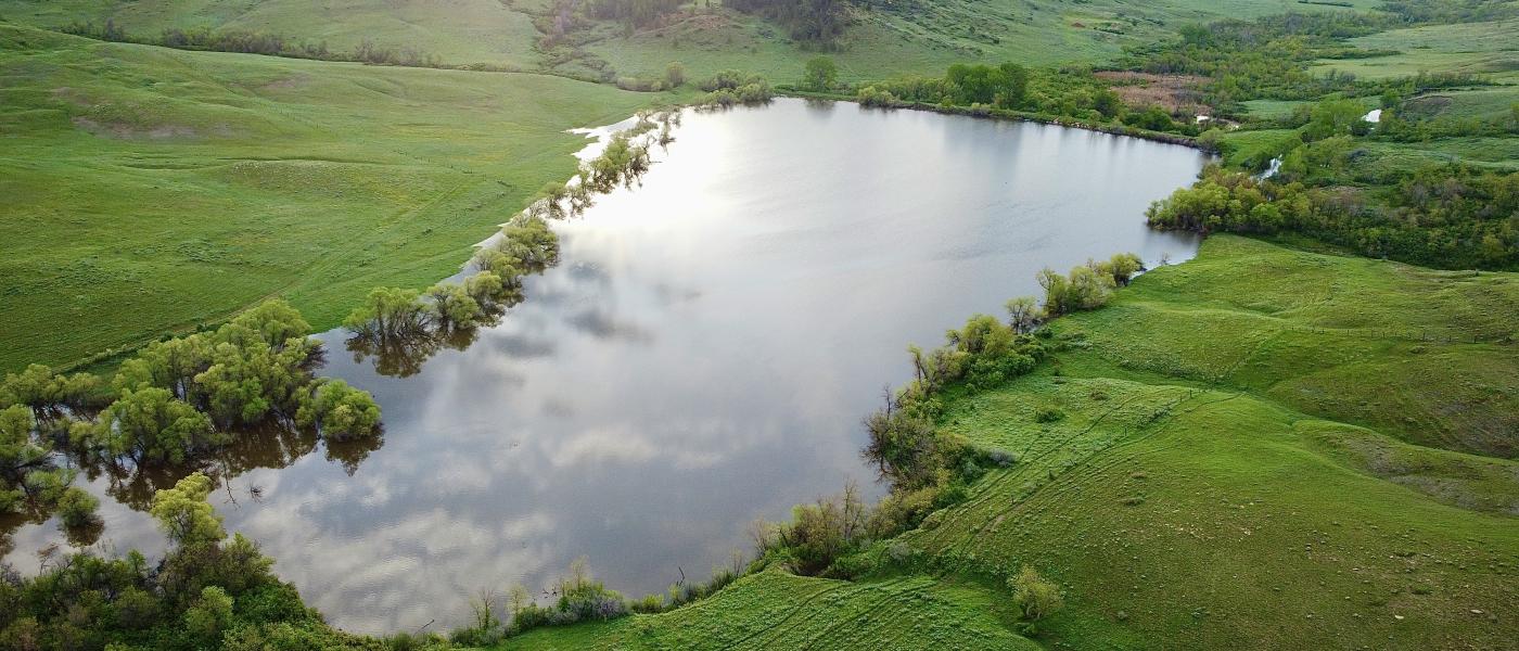
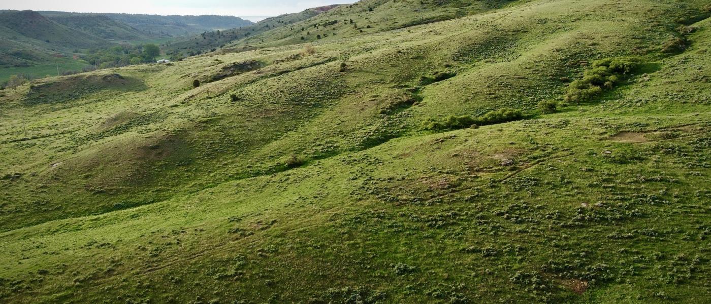
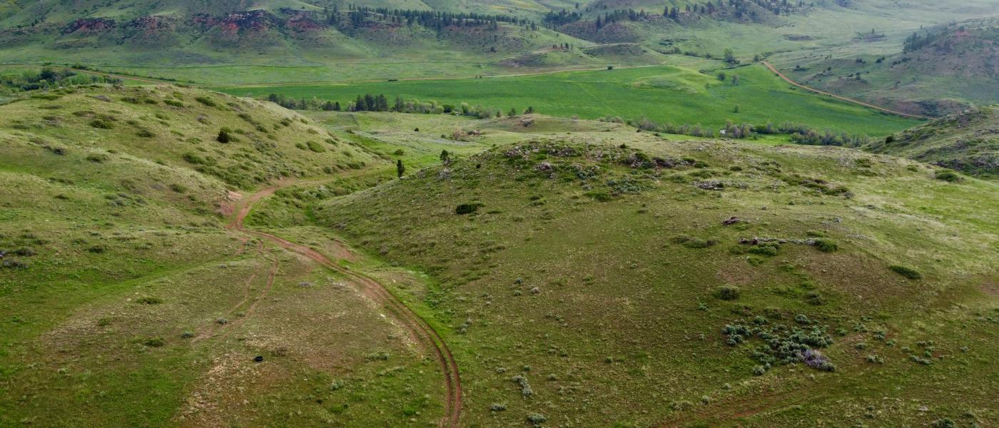
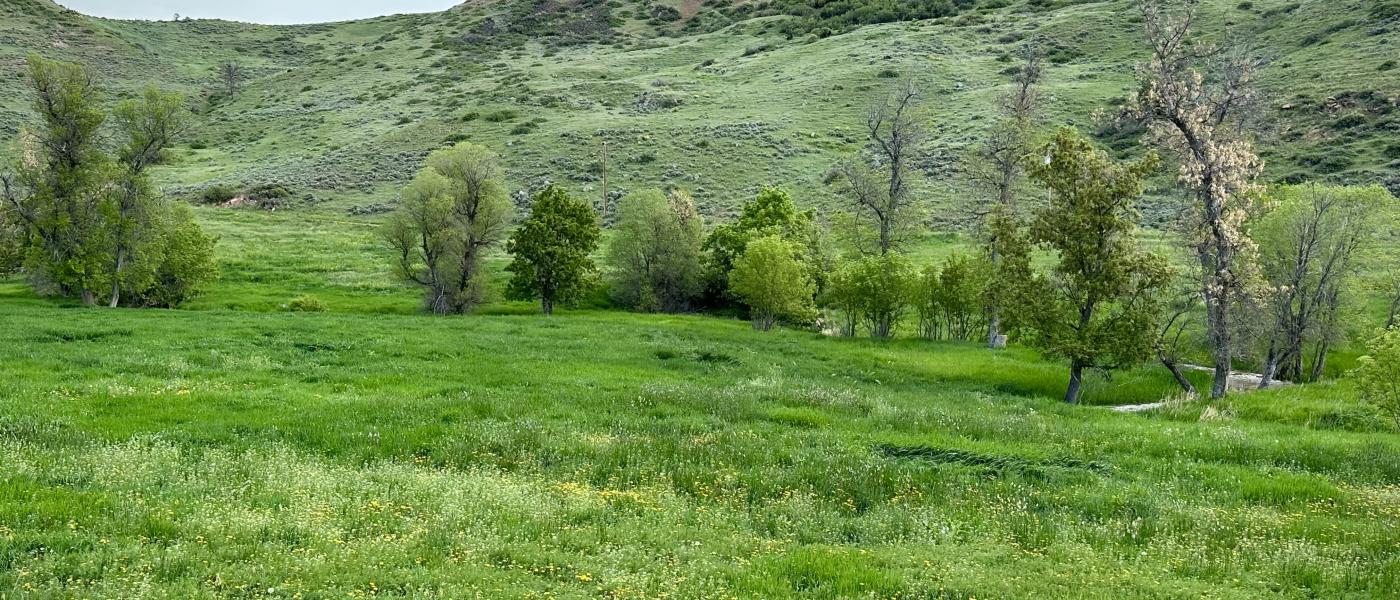
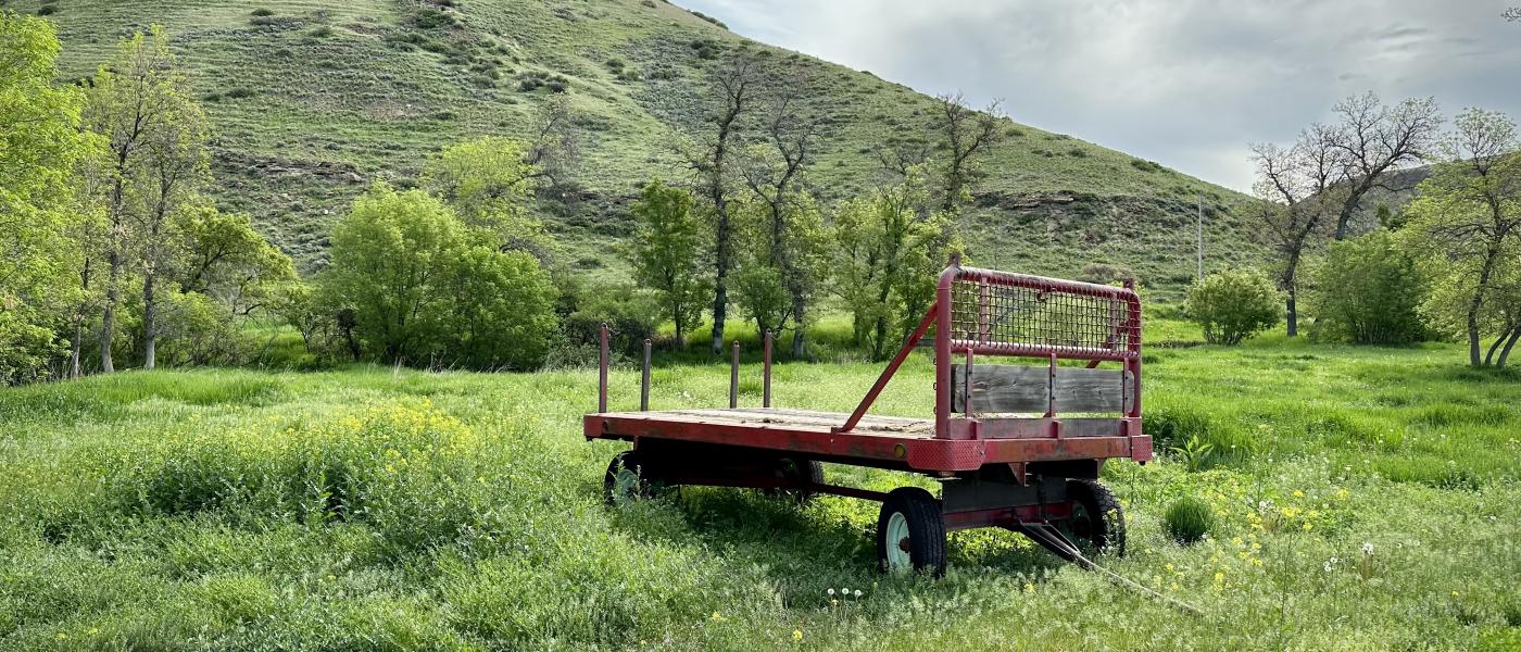
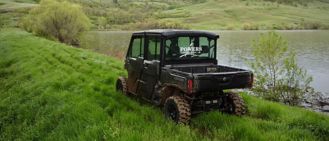
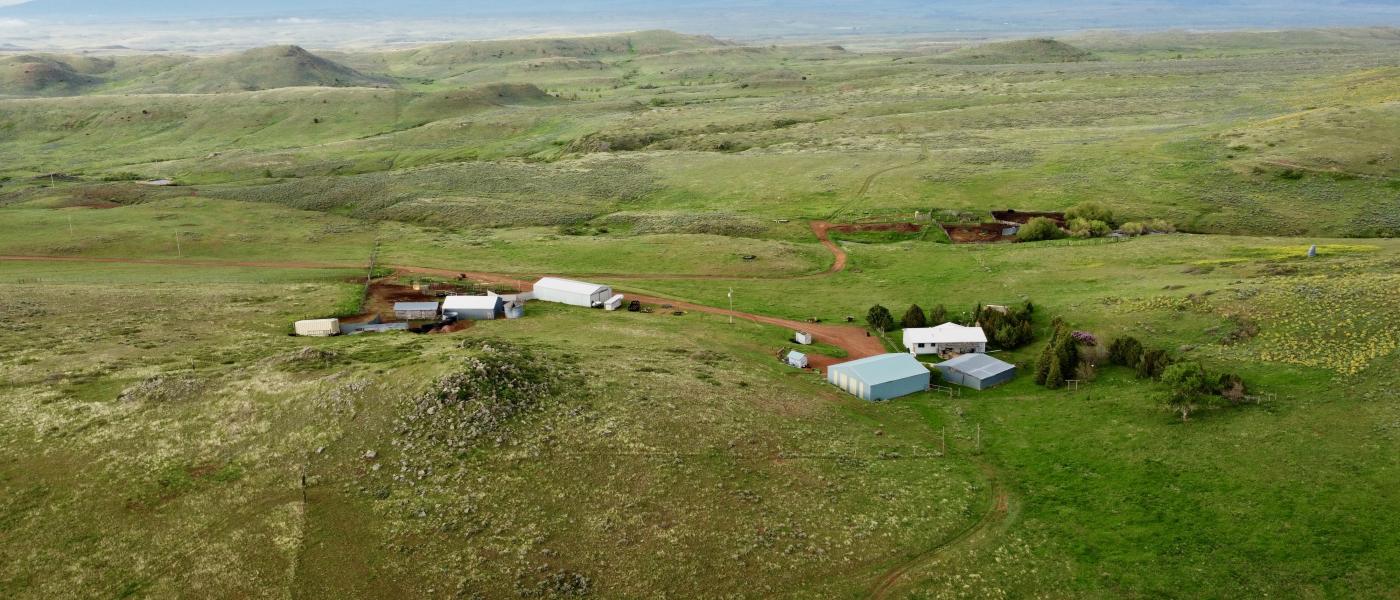
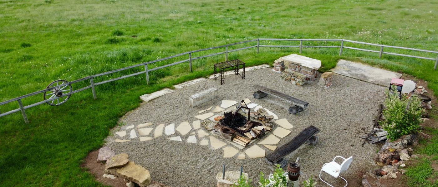
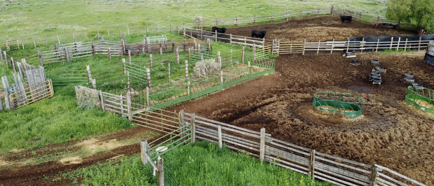
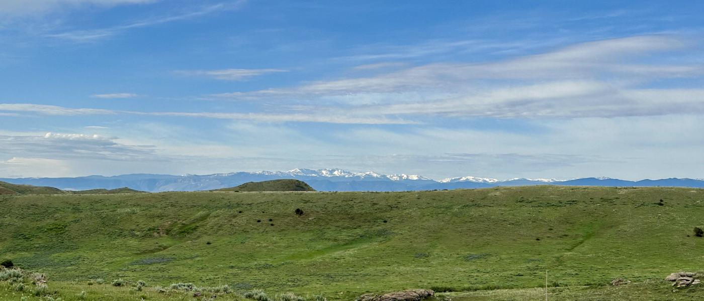
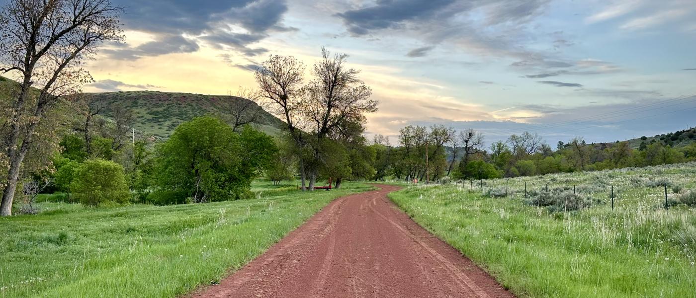
The Ash Creek Ranch is a well-balanced working cattle ranch offering 565 +/- deeded acres of highly-productive hay-ground, pastures, and timber. Stands of cedar trees and pines line the hillsides while wild plums are common in many of the draws. Hearty grasses thrive in eight fenced and well-managed pastures. Bisected by Ash Creek which flows year-round, the ranch features 14 spring fed livestock tanks, irrigation rights, and a 3/12 ownership in a 25-acre reservoir. A well-maintained road system connects the ranch from one end to the other and allows for easy access with a truck or side-by-side.
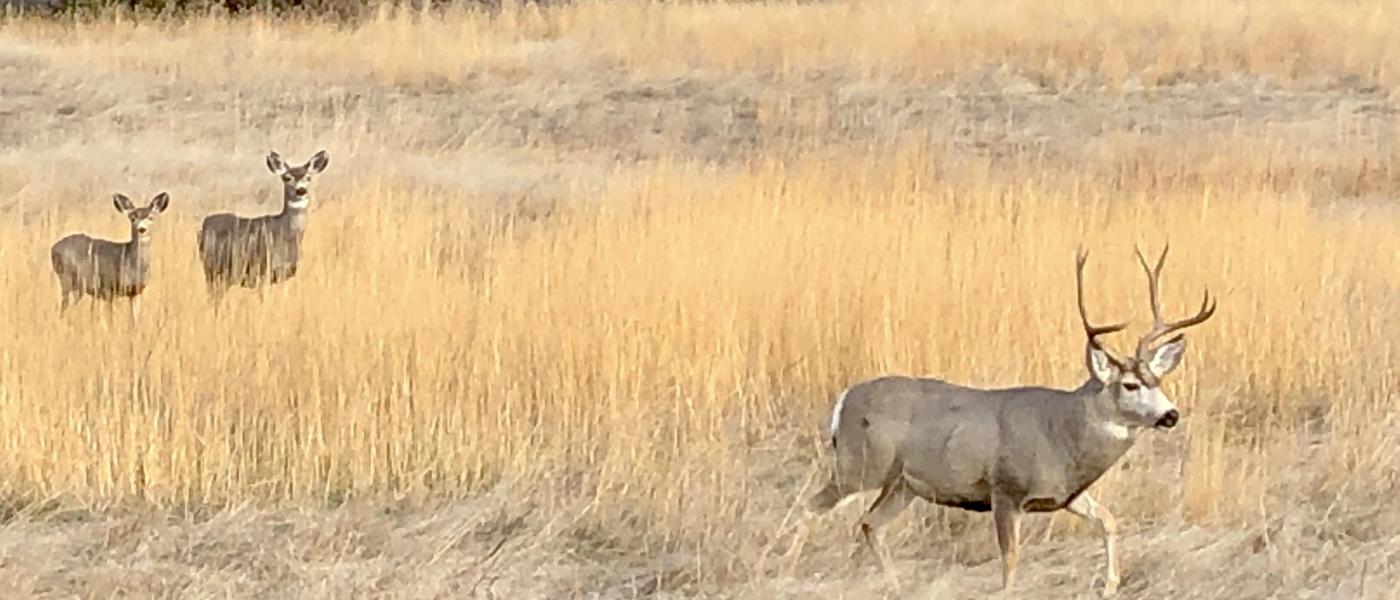
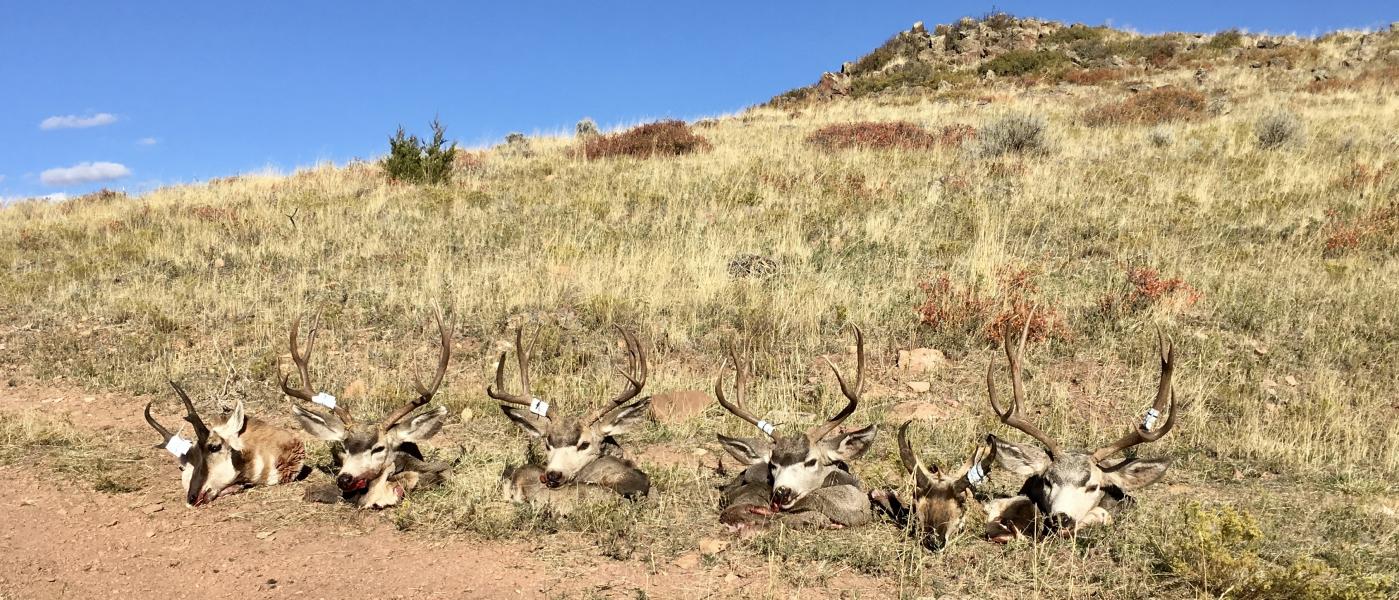
In addition to being a productive cattle ranch, the Ash Creek property offers a great deal of recreational opportunity. One can expect to find trophy quality mule deer, heavy-horned antelope, elk, and Merriam’s turkeys on the ranch. Pheasants, sharp-tail grouse, and Hungarian partridge thrive in the native grasslands and timbered draws. It’s also not uncommon to spot a black bear, bobcat, or mountain lion traversing the nearby hillsides.
Contact
PHONE: (307) 217-2777
Site Links
HomeFarm & Ranch Properties
Residential & Recreational Properties
Auctions
Buying & Selling
Panacea
About Us
Contact Us
Disclaimer
Content on this website is for general information only and has been obtained from sources deemed reliable; however, the accuracy of this information is not guaranteed or warranted by Powers Land Brokerage, LLC. Listings are subject to prior sale, price change, correction or withdrawal without notice. Visitors are charged with making and are expected to conduct their own independent investigation of the information provided, directly or indirectly, by this website or Powers Land Brokerage, LLC.