Bay Horse Butte Ranch
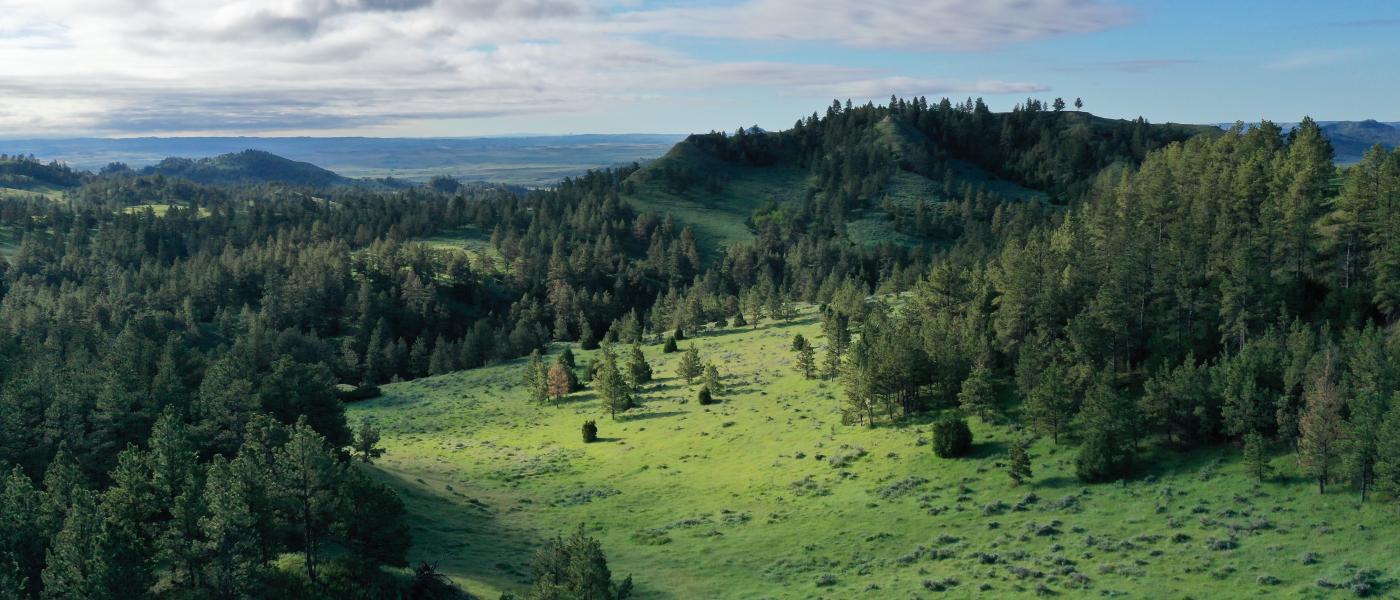
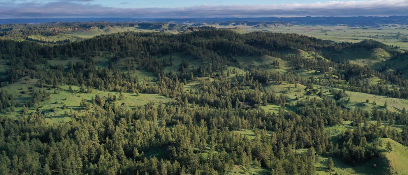
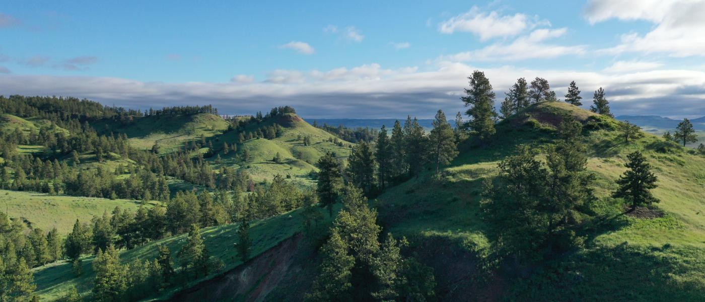
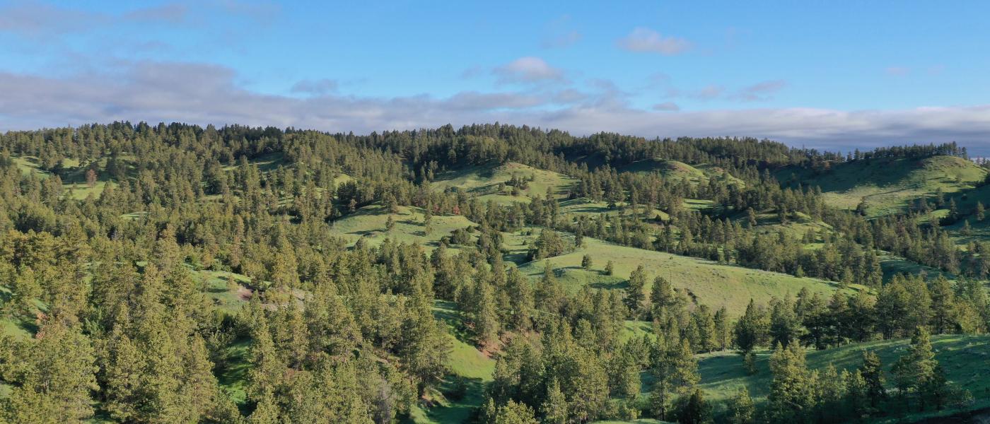
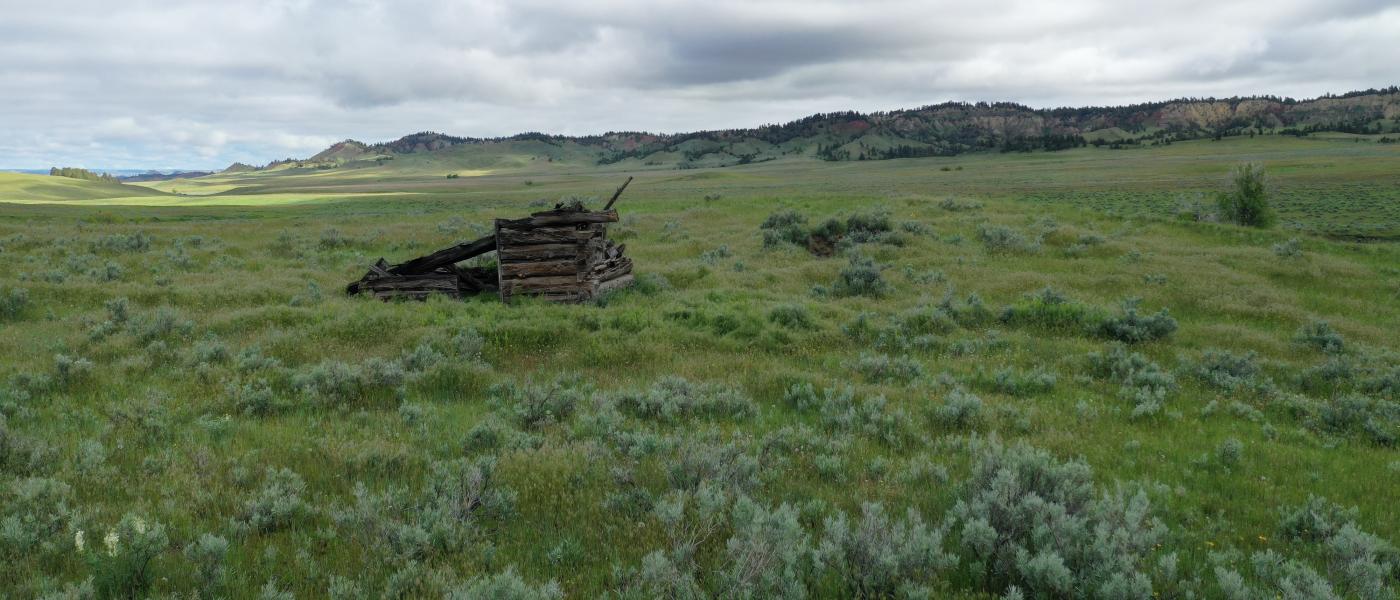
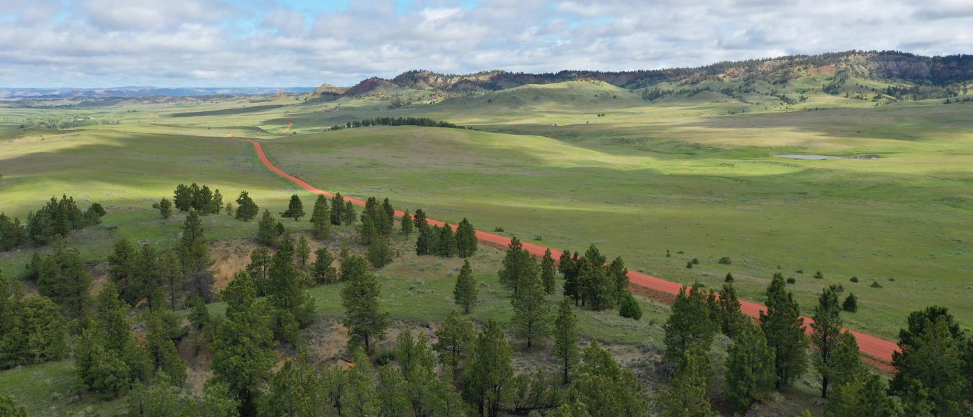
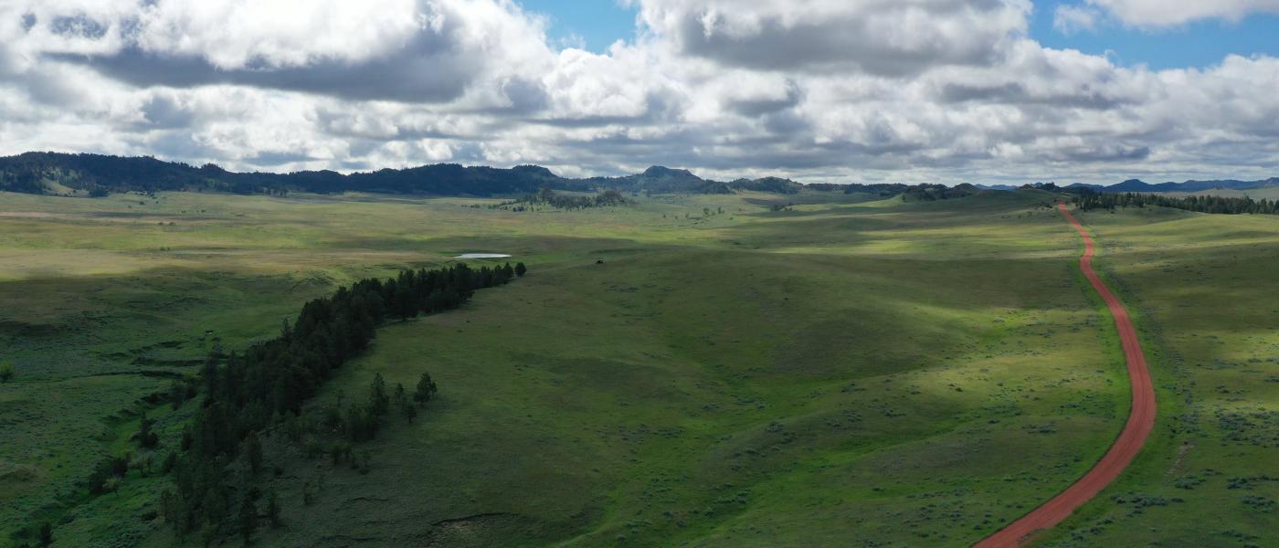
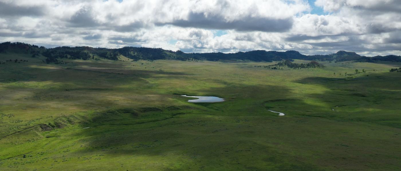
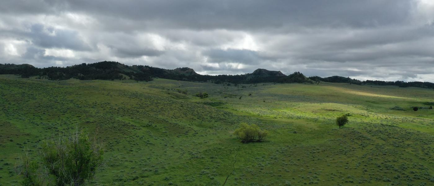
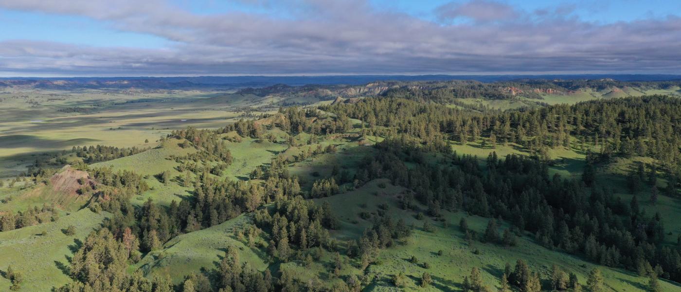
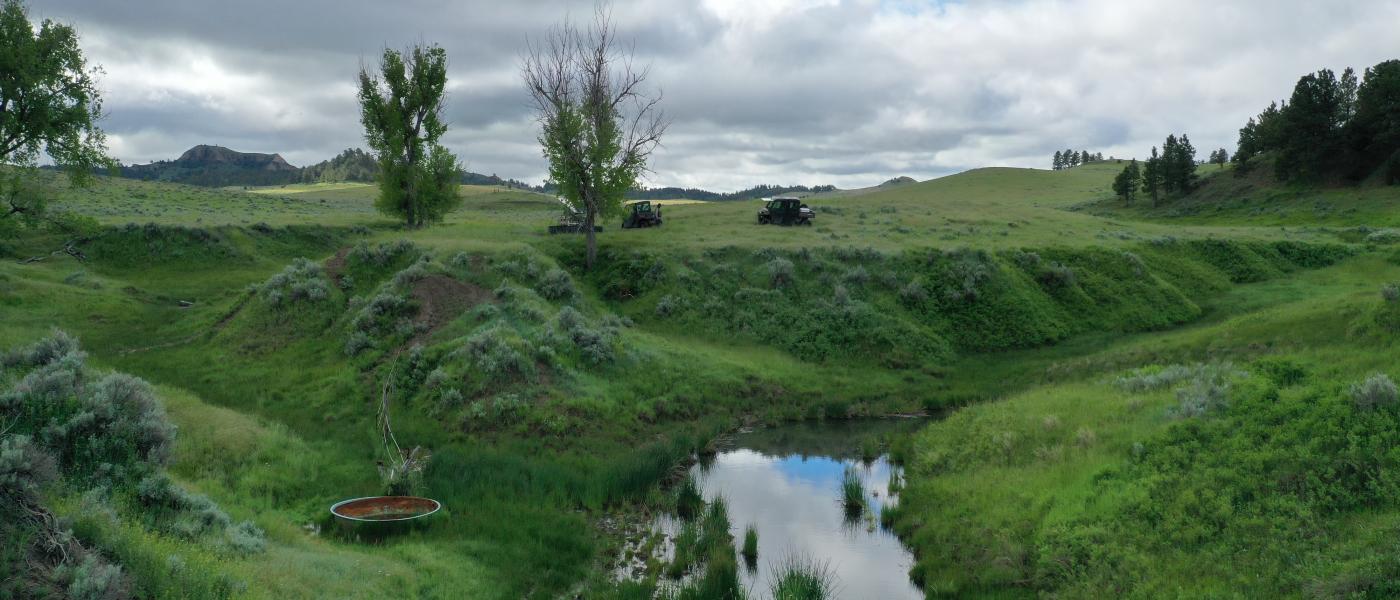
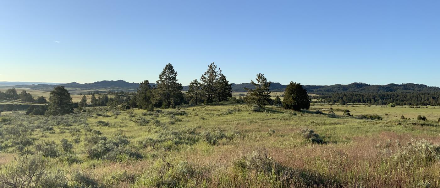
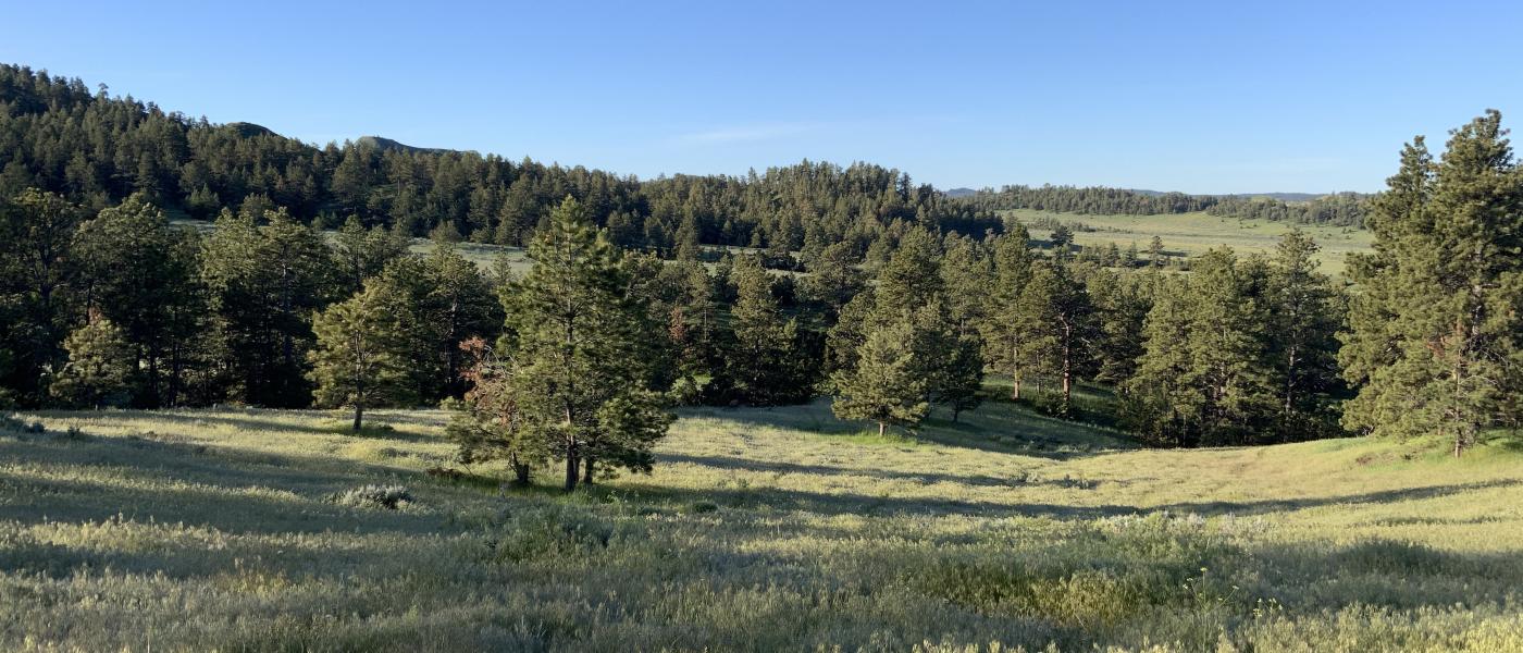
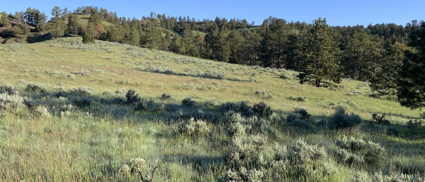
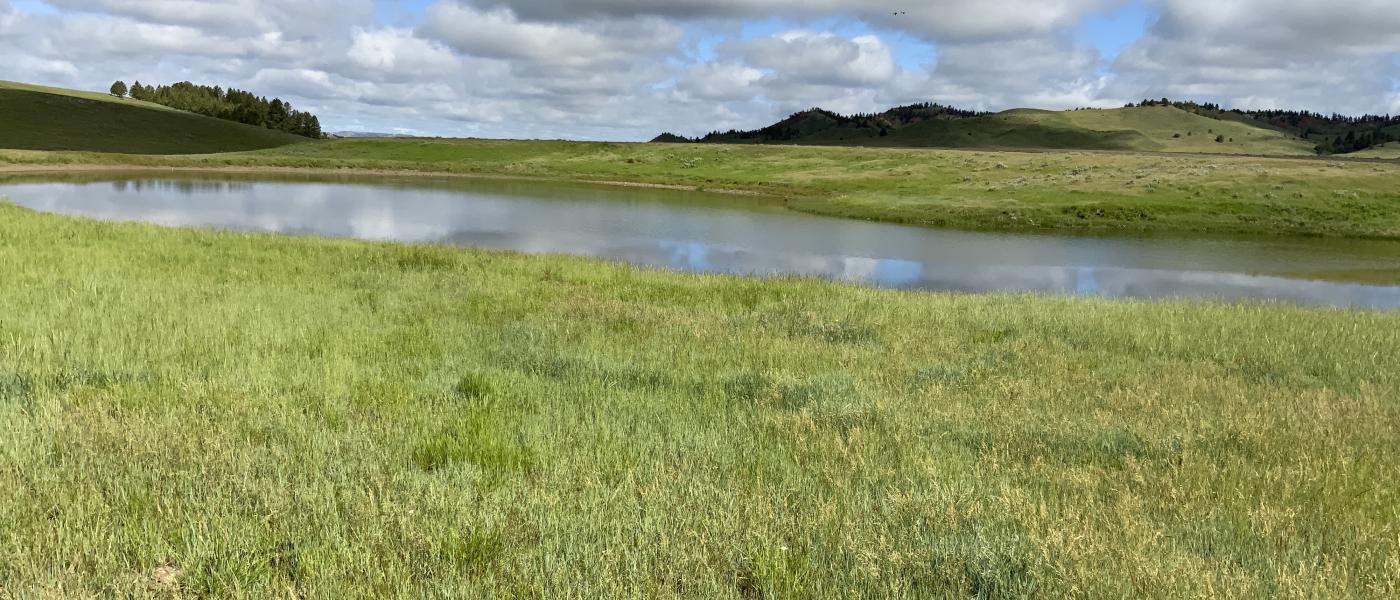
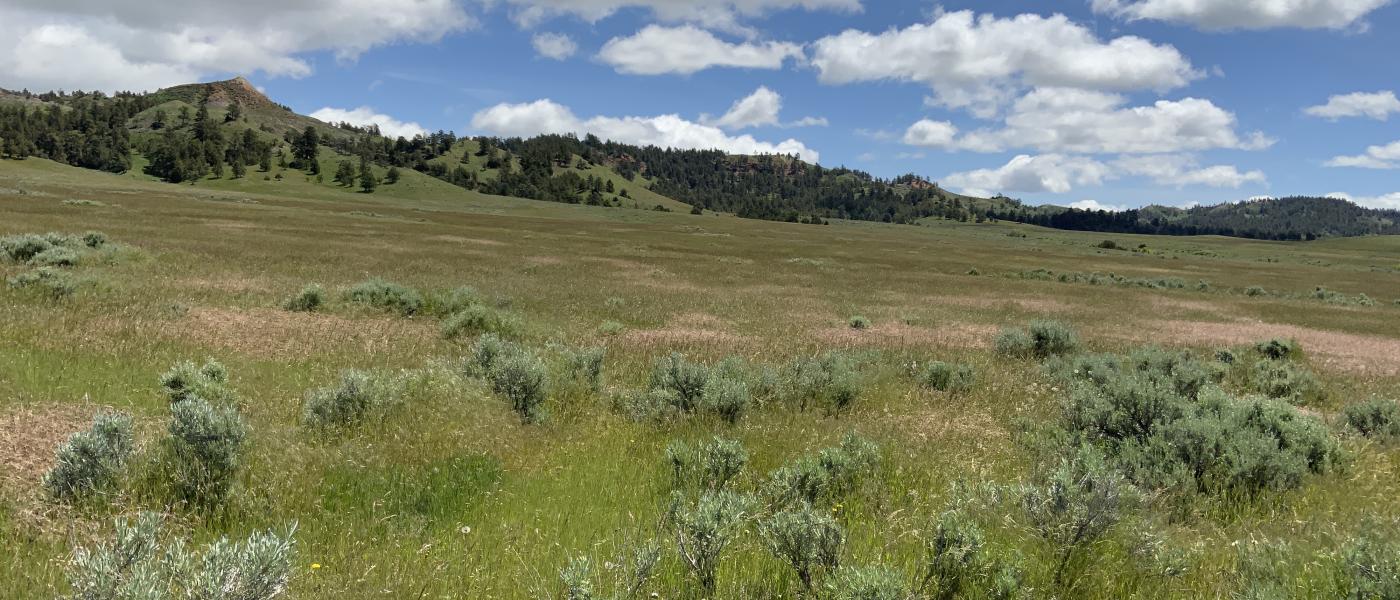
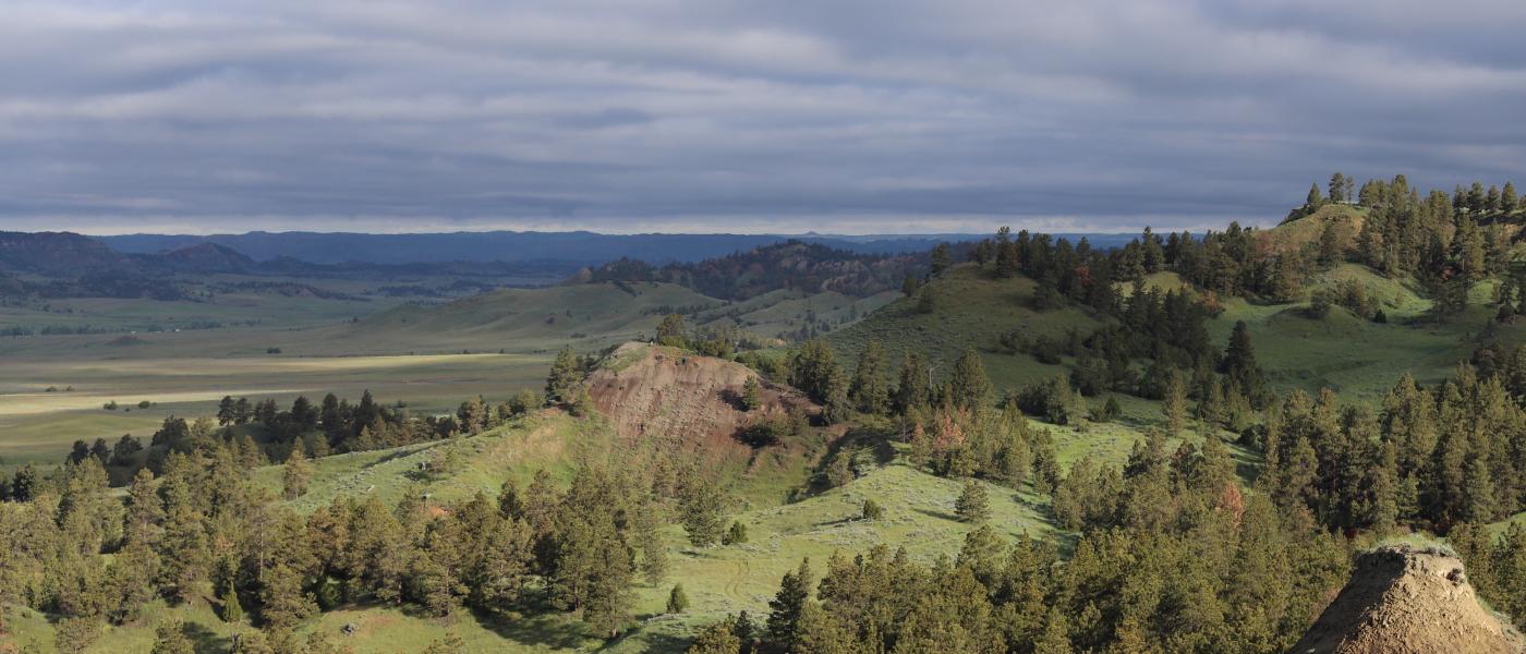
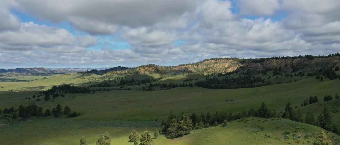
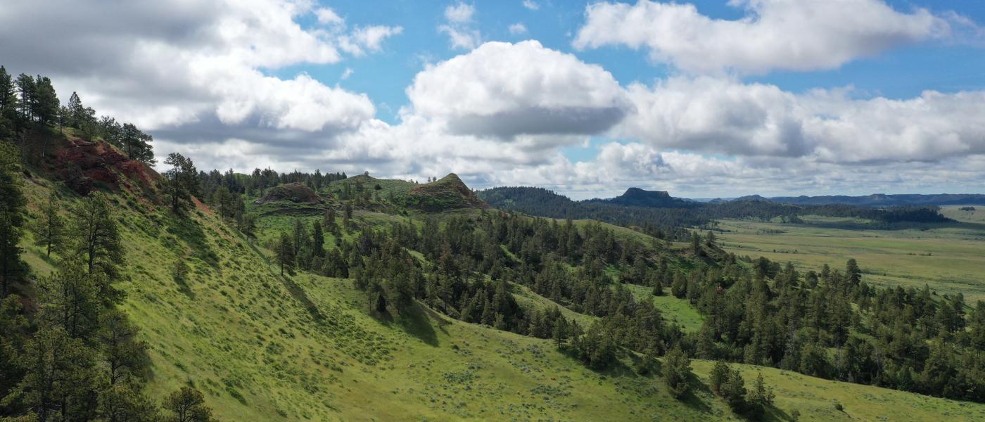
Bay Horse Butte Ranch is one of southeast Montana's greatest gems. Nearly 2,000 deeded acres, adjacent to 3.5 miles of "landlocked" BLM, with many large bordering ranches, sure feels like owning a vast valley in an unchanged western landscape. Prominent Bay Horse Peak marks the high point of the mountain divide between the Little Powder River and the legendary Powder River.
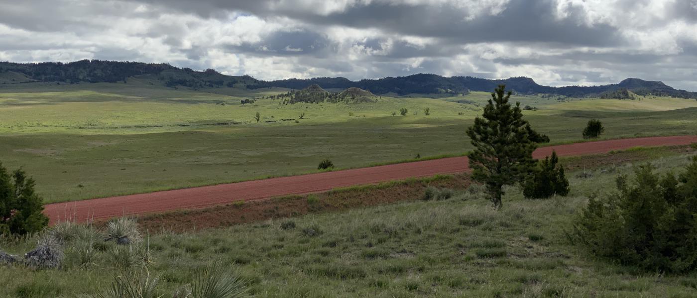
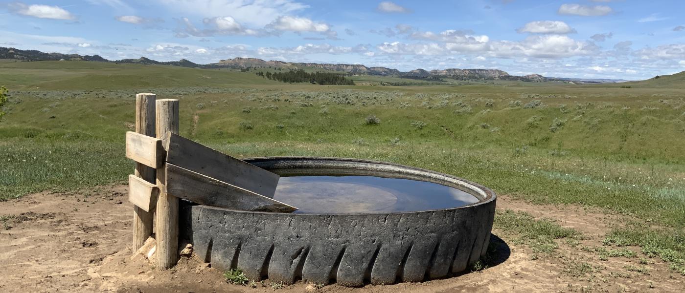
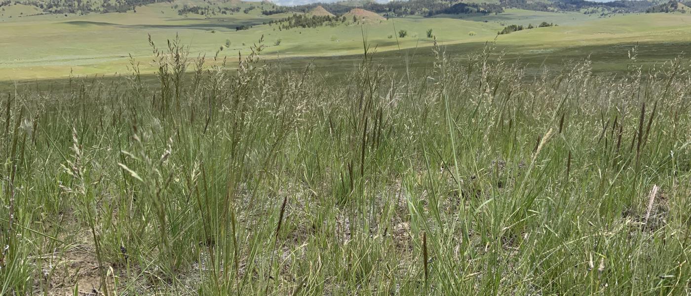
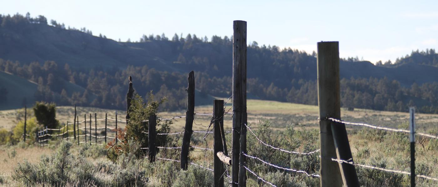
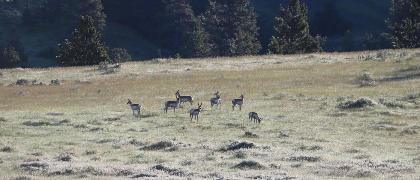
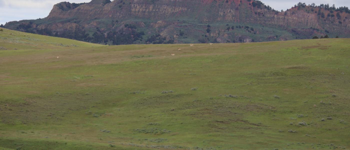
Multiple home sites invite the unobstructed view across your lush grassland valley towards intact ridge tops blessed with parklike meadows in moderate timber. From the red county road, one can travel on the ranch along the original Butte Creek Mail Route, along the painted rim rock and pointed rock spires. The terrain and cover provide ideal habitat for the elk, black bear, mule deer, antelope and upland birds.
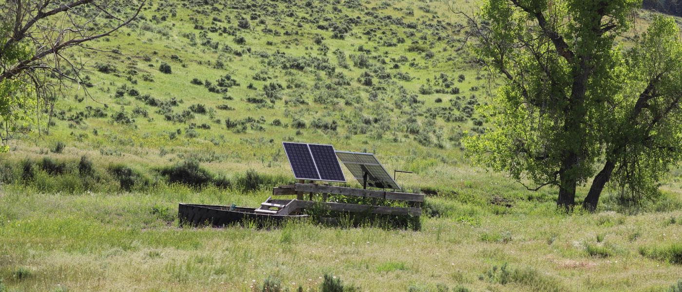
Surprisingly, this secluded part of Montana, near the Wyoming state line, is year-round country ranging from 3,700 to 4,200 feet in elevation. Located a little over an hour from Gillette, Wyoming or Broadus, Montana follow US Highway 59 to a well maintained county road leading west to a place known for open cattle range benefiting from quality grass and friendly, sparsely populated neighbors.
Contact
PHONE: (307) 217-2777
Site Links
HomeFarm & Ranch Properties
Residential & Recreational Properties
Auctions
Buying & Selling
Panacea
About Us
Contact Us
Disclaimer
Content on this website is for general information only and has been obtained from sources deemed reliable; however, the accuracy of this information is not guaranteed or warranted by Powers Land Brokerage, LLC. Listings are subject to prior sale, price change, correction or withdrawal without notice. Visitors are charged with making and are expected to conduct their own independent investigation of the information provided, directly or indirectly, by this website or Powers Land Brokerage, LLC.