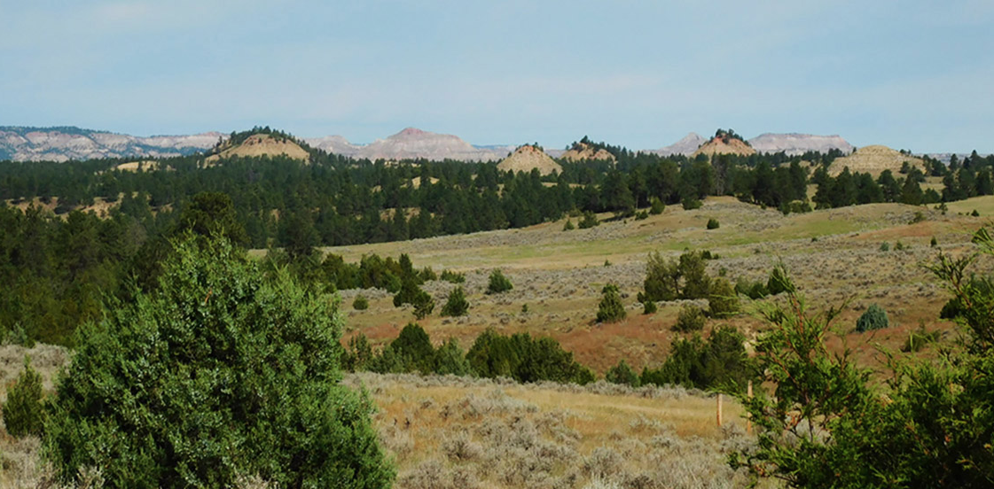
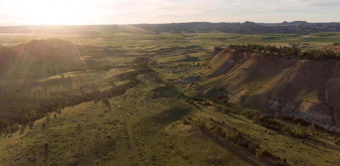
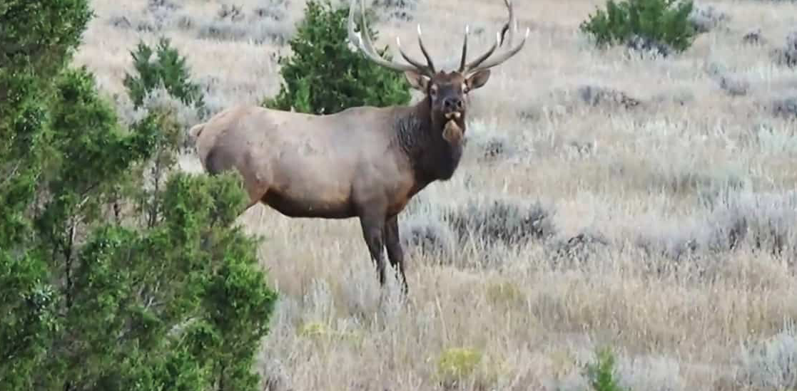
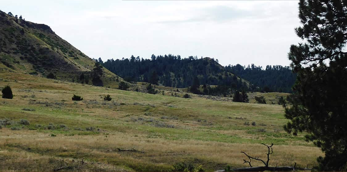
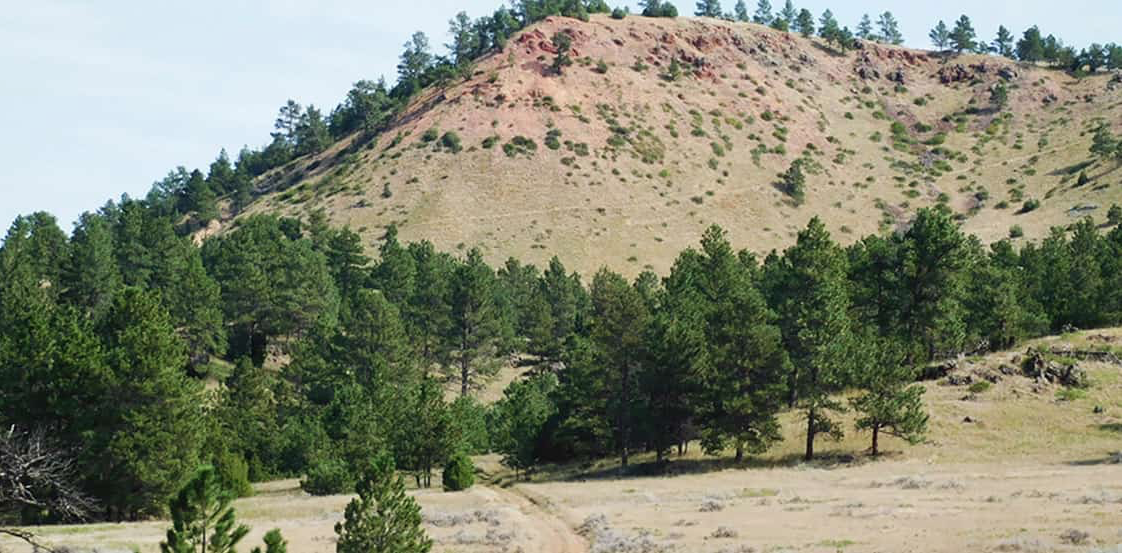
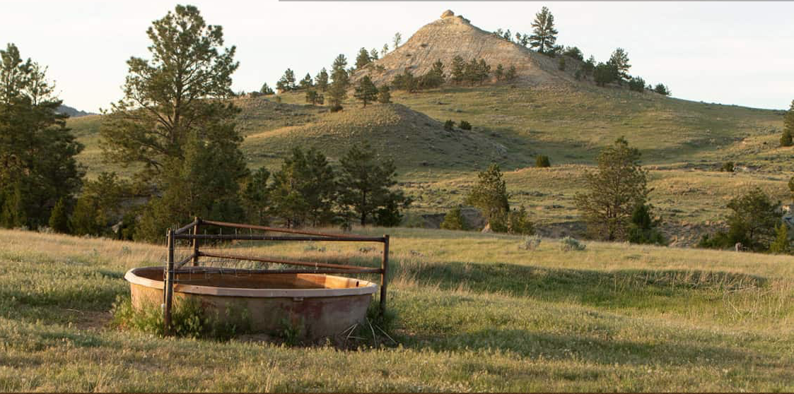
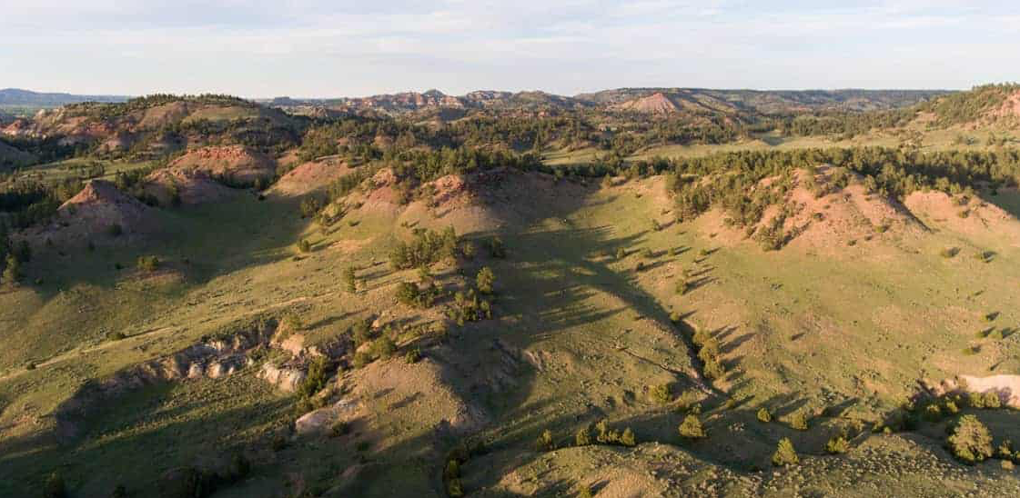
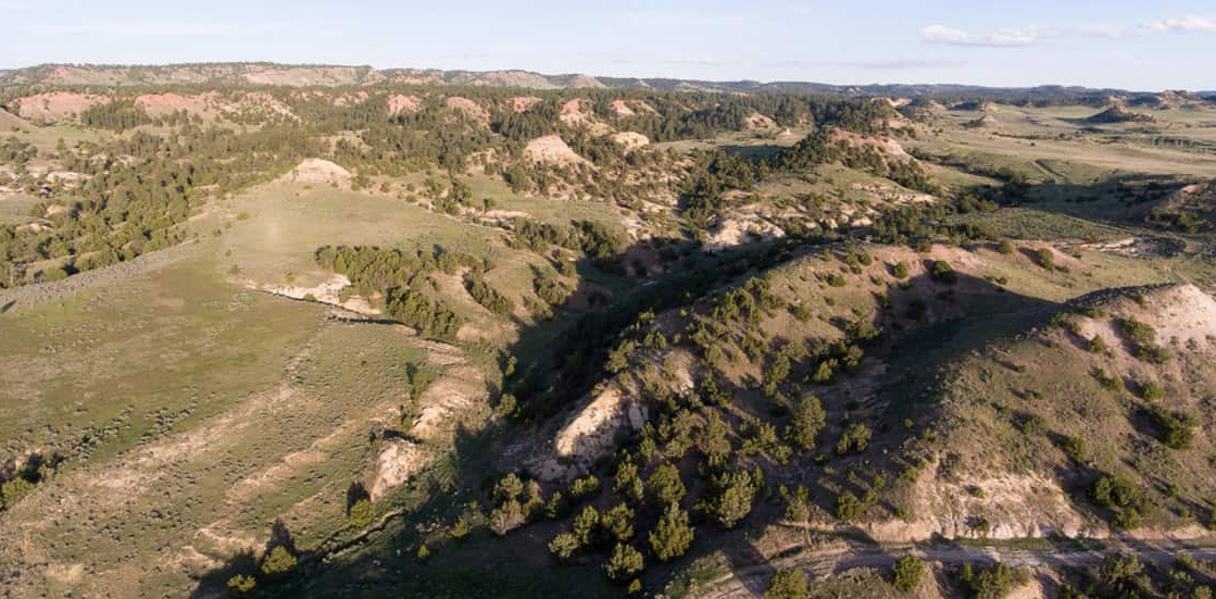
Big Powder Elk Unit
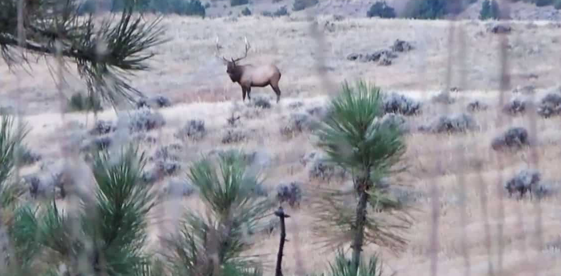
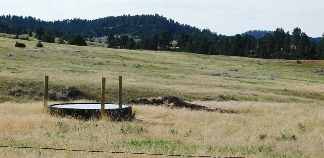
The Big Powder Elk Unit is located where Montana State record bulls roam. Ownership includes the headwaters of two seasonal streams, Miller Creek and Buttermilk Creek. These two valleys are tucked between tall rimrock ridges that are lined with Ponderosa and Juniper Trees. Excellent cover for monster muley deer, elk, black bear, mountian lion, turkey and antelope. The native grasses in the area are known for gains on cattle weight and trophy antler size.
Located just twenty miles south of US Highway 212 near Broadus, Montana and only 15 miles north of the Wyoming State line. Situated just off the beaten path enough to give the owner secluded privacy yet conveniently near the Black Hills of South Dakota or the Billings International Airport. Borders over a thousand acres of Montana State and BLM lands for additional elbow room. Invest in this quality recreation land that can provide grass lease income while your family enjoys the legacy of this Montana gem.
Sit back and enjoy this video the Seller took in 2020 during his elk hunt on the the Big Powder Elk Unit and get a taste of what you could be doing in 2021.
Contact
PHONE: (307) 217-2777
Site Links
HomeFarm & Ranch Properties
Residential & Recreational Properties
Auctions
Buying & Selling
Panacea
About Us
Contact Us
Disclaimer
Content on this website is for general information only and has been obtained from sources deemed reliable; however, the accuracy of this information is not guaranteed or warranted by Powers Land Brokerage, LLC. Listings are subject to prior sale, price change, correction or withdrawal without notice. Visitors are charged with making and are expected to conduct their own independent investigation of the information provided, directly or indirectly, by this website or Powers Land Brokerage, LLC.