
Buckmiller Ranch
A Wyoming Centennial Ranch Award qualifier, the Buckmiller Ranch has been in the same family for over 130 years.
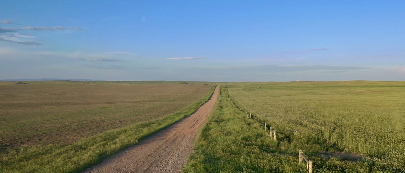
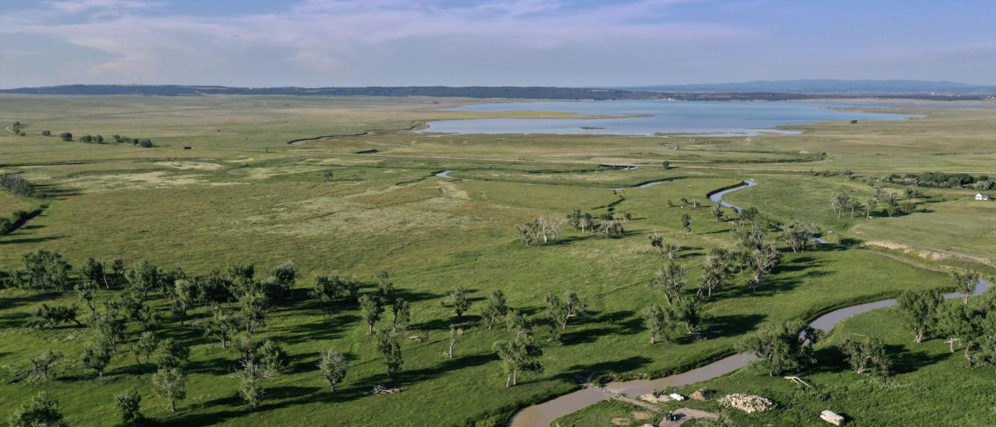
Located between Pine Haven and Moorcroft and adjacent to Keyhole Reservoir, this highly productive 1,646 +/- acre well-balanced ranch offers farming, grazing, recreation, and huge development potential.
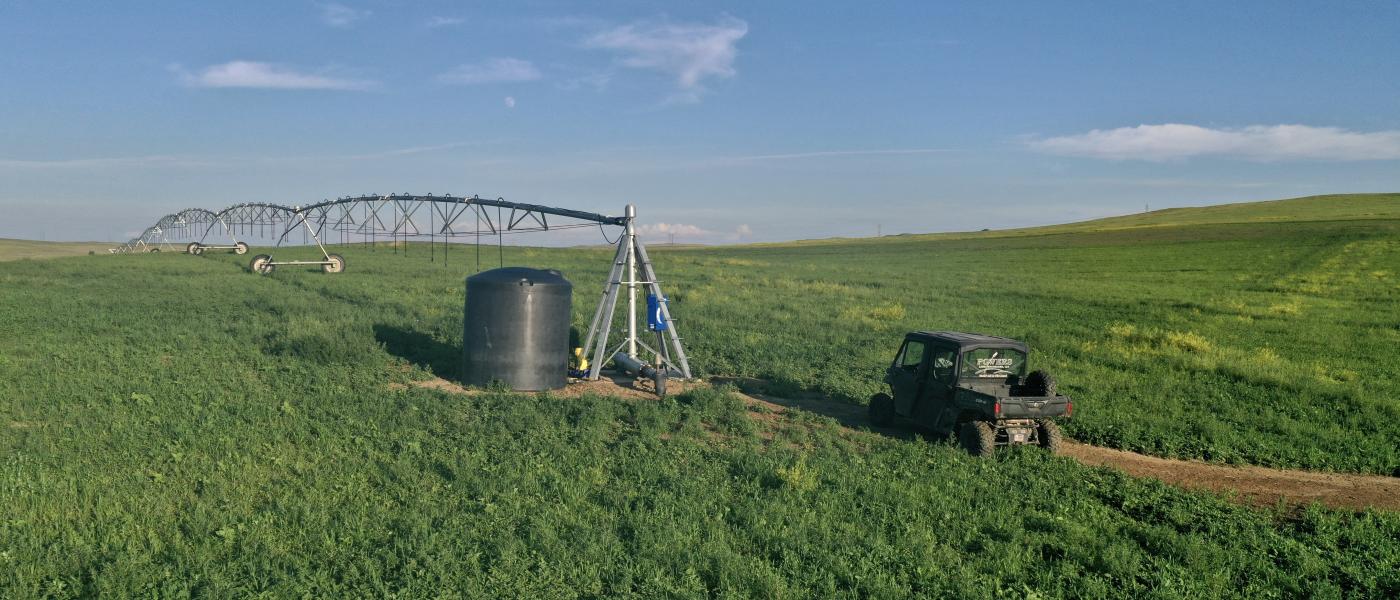
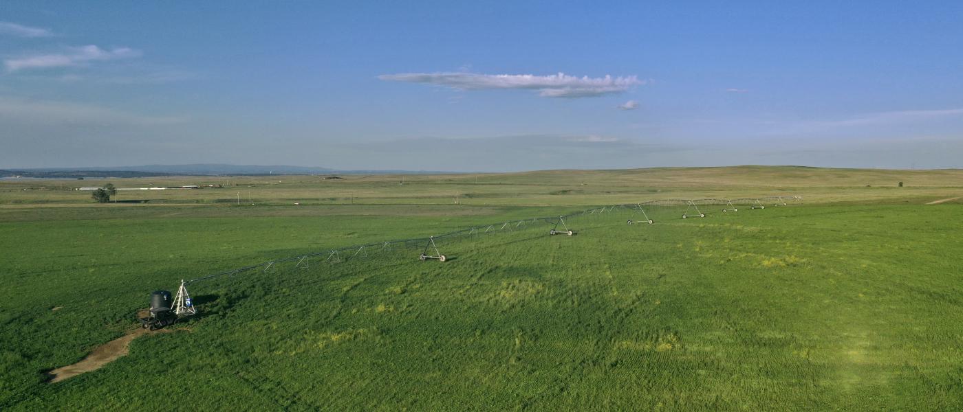
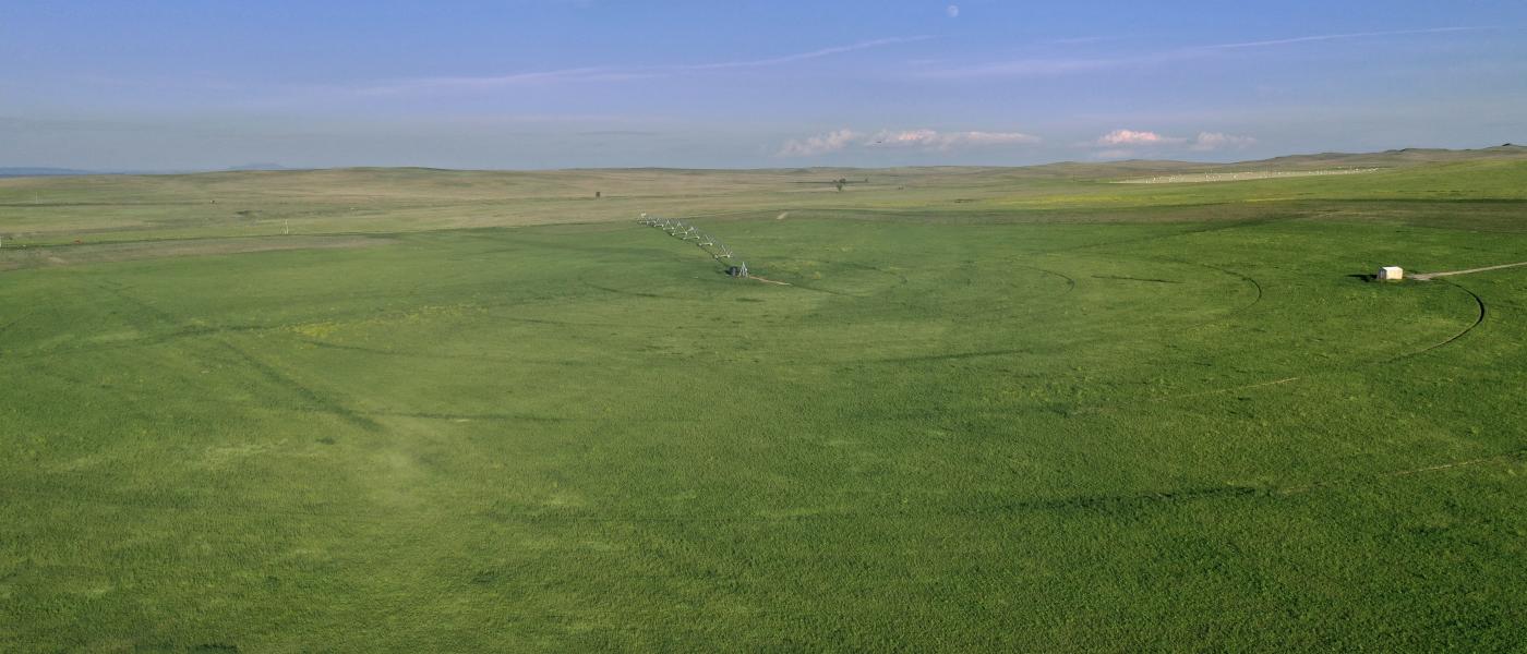
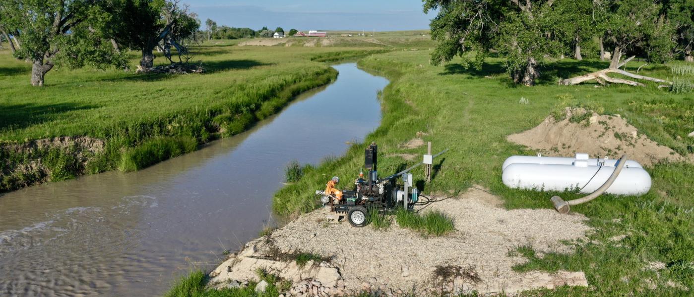
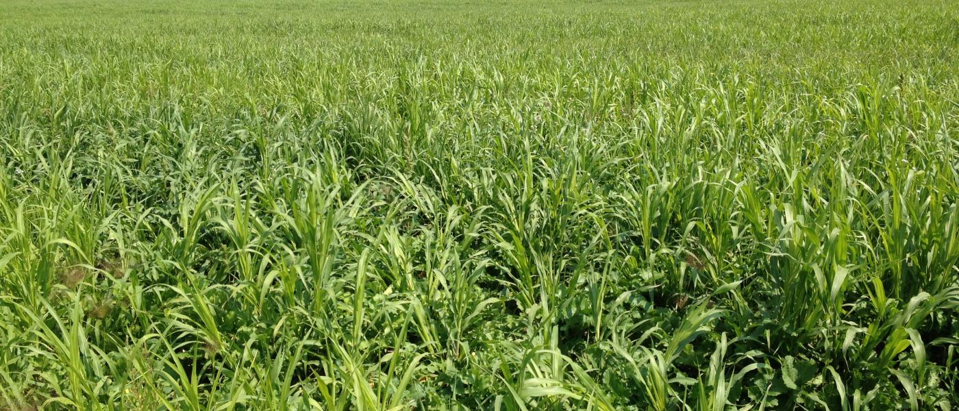
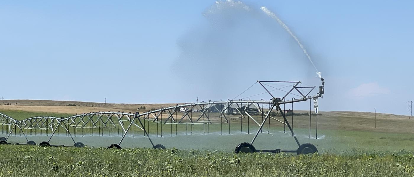
A Reinke Pivot installed in 2021 anchors the ranch property irrigating 135+ acres drawing water from the Belle Fourche River. Under the pivot grows highly productive crops which vary from year to year depending on the owner’s goals and grazing plan.
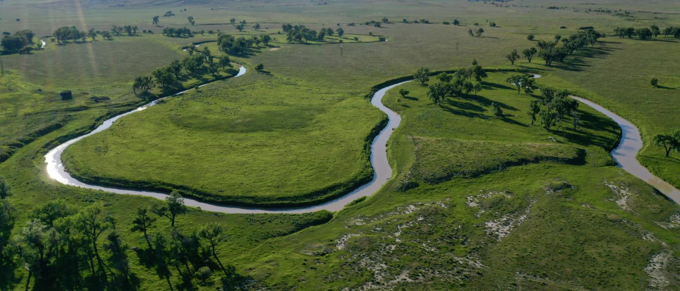
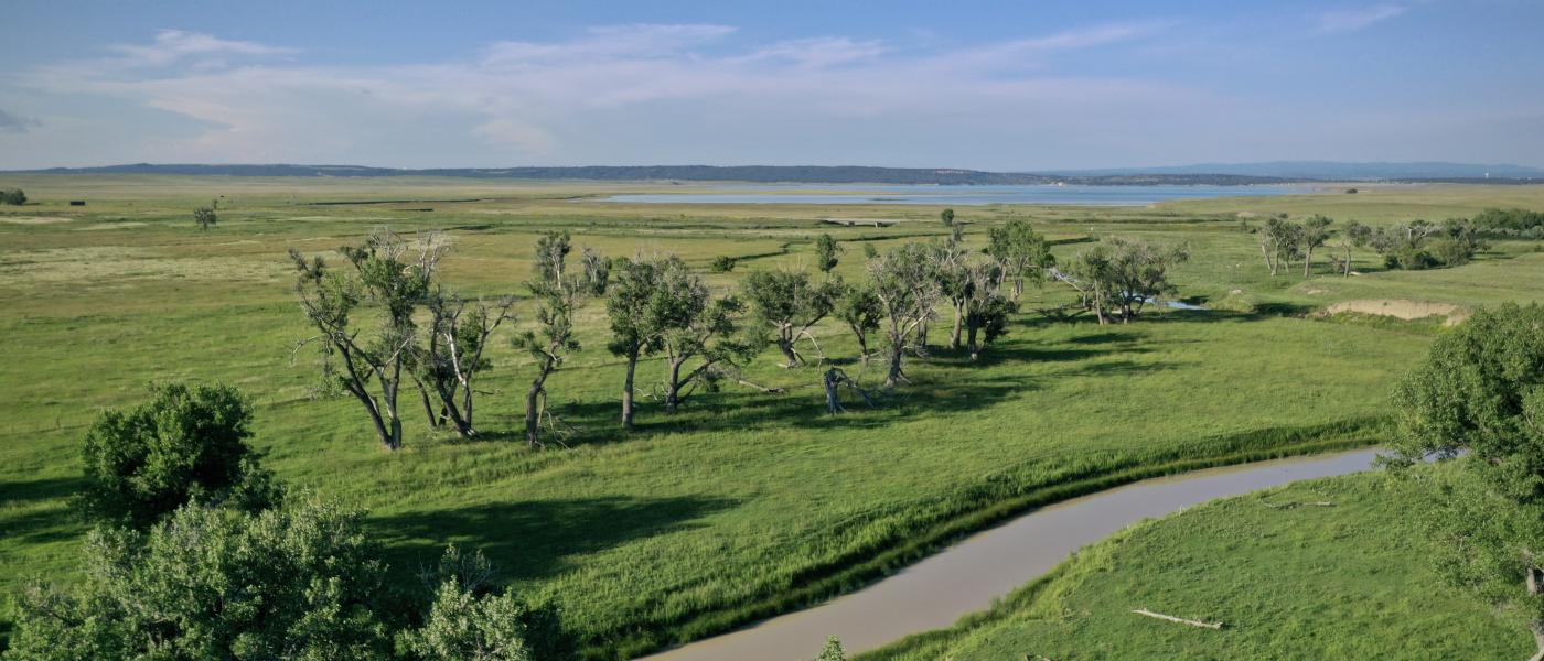
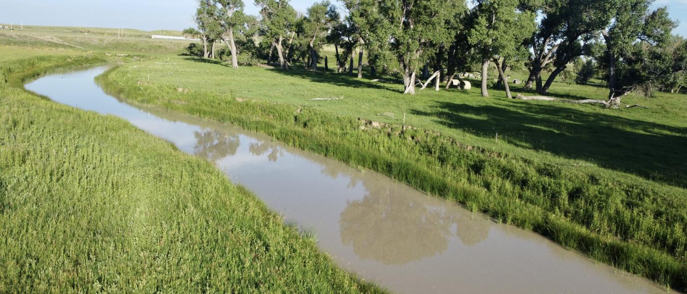
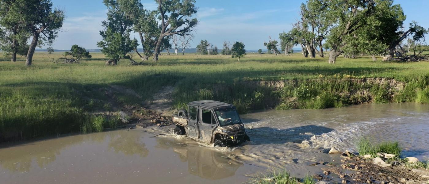
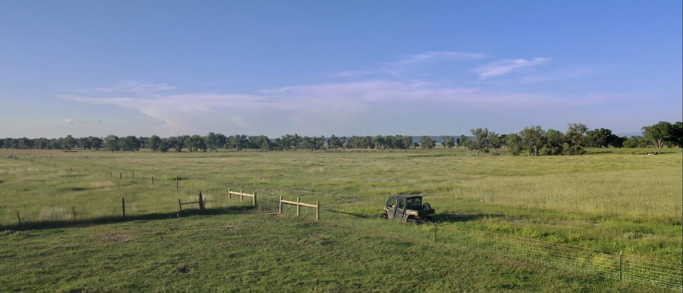
Just north of the pivot, the Belle Fourche flows through stands of mature cottonwoods creating large oxbows of fertile grasses, which creates the ideal habitat for large game and native bird species. Fishing opportunities in the river and the adjacent Keyhole Reservoir are exceptional. The diversity of wildlife and recreational opportunities on the ranch are simply incredible.
Location and Potential
Bisected by Highway 14 and directly adjacent to Keyhole Reservoir and Keyhole State Park and bordering current development to the west, The Buckmiller Ranch is ideally positioned for future development. Existing development west of the ranch was set up with easement throughways to the subject ranch property so the development could be mirrored at a later date. The town of Moorcroft lies 2 miles to the south and Pine Haven is just 5 miles to the east. Given its proximity to Keyhole Reservoir, the Black Hills, and the towns of Moorcroft and Pine Haven, the location is truly excellent for a real estate investment or a productive farm and ranching property.
Water
- 2 Reservoirs
- Expansive Pipeline system
- 4 Concrete Water Geothermal Tanks fed by the Pipeline System
- 3 Concrete Summer Tanks connected to separate wells
- 6 Additional Galvanized and Poly Tanks
- 2021 Berkley Irrigation Pump Powered by V8 Chevy Engine Fueled with two 1000-gallon Propane Tank
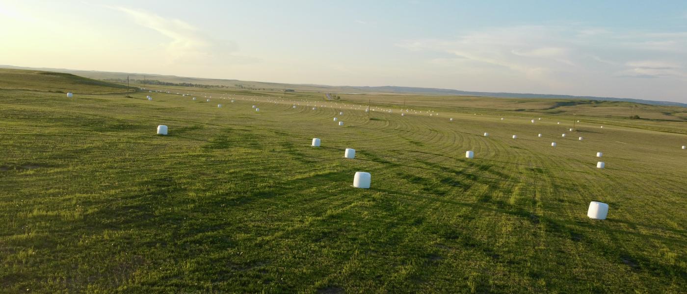
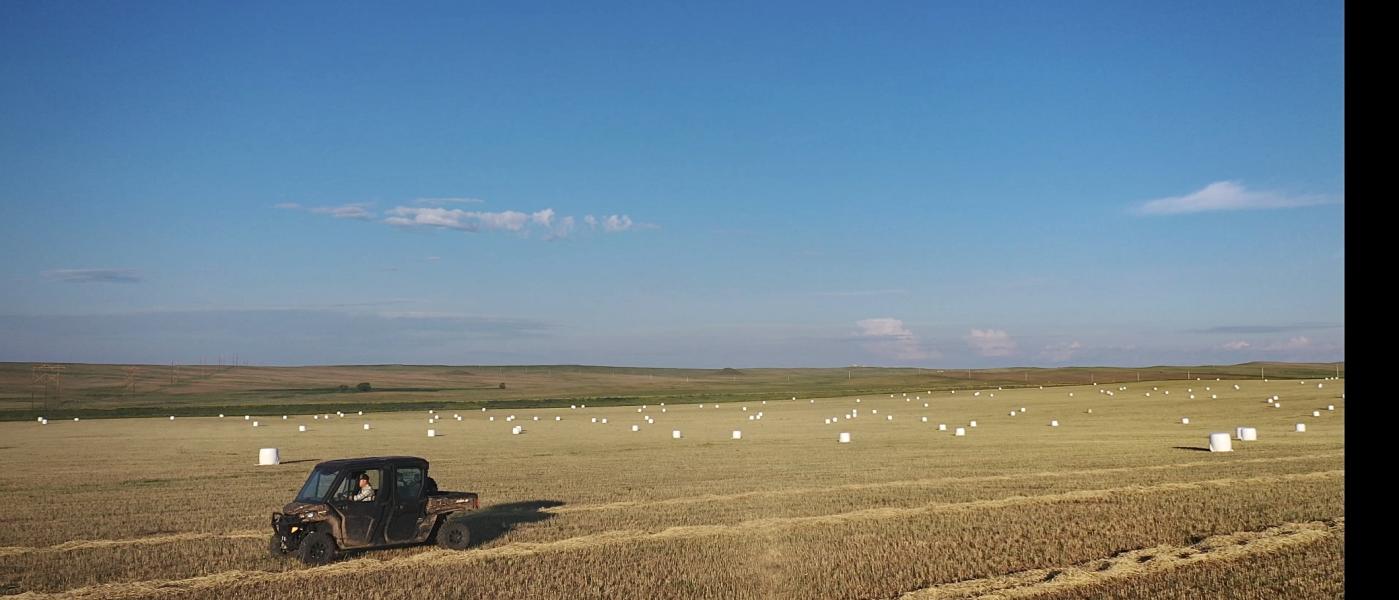
Farming
While practicing no-till farming for the past 15+ years, the yields from the farm have been outstanding.
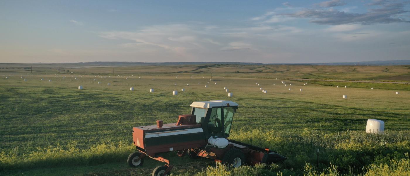
In 2022, the pivot produced 5 tons +/- to the acre on the first crop of rye. Once the rye was harvested, another 3-4 ton +/- per acre of cover crop was grazed.
The mixed cover crops on the dry-land have averaged about a 2 ton +/- to the acre according to the seller.
The Buckmiller Ranch qualifies for several government NRCS, FSA, & Soil Health programs without being restricted by conservation mandates or easements.
Carrying Capacity
The owner-rated carry capacity is conservatively around 125 cow-calf pairs. In 2019, the owners grazed 150 cow-calf pairs without the irrigation pivot. With the pivot installed for the 2022 year, the owners were able to graze 50 cow-calf pairs, 600 sheep, and wintered 750 head of yearlings.
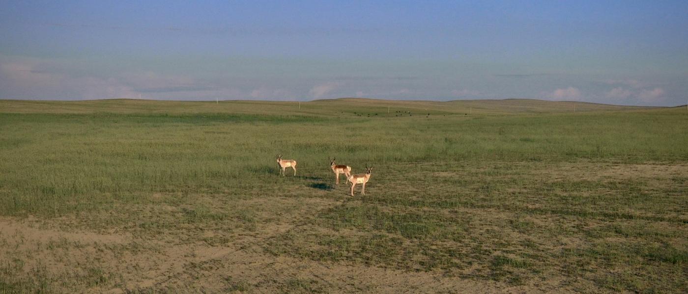
Recreational Opportunities
The surrounding terrain features a diverse landscape, including riparian bottomlands of cottonwoods and native grasses which provide ideal habitat for deer, turkeys, and upland game birds. The irrigation pivot keeps the grass green late into the fall and attracts mature deer and antelope from miles away to feed as the grasses dry up in the surrounding areas. Large flocks of migrating geese and ducks roost on nearby Keyhole Reservoir and the Belle Fourche River and congregate in the agriculture fields on the ranch in the morning and evening hours. In addition to hunting, the Belle Fourche River, which runs through the north part of the property, offers exceptional opportunities to catch northern pike, catfish, bass, and carp.
Contact
PHONE: (307) 217-2777
Site Links
HomeFarm & Ranch Properties
Residential & Recreational Properties
Auctions
Buying & Selling
Panacea
About Us
Contact Us
Disclaimer
Content on this website is for general information only and has been obtained from sources deemed reliable; however, the accuracy of this information is not guaranteed or warranted by Powers Land Brokerage, LLC. Listings are subject to prior sale, price change, correction or withdrawal without notice. Visitors are charged with making and are expected to conduct their own independent investigation of the information provided, directly or indirectly, by this website or Powers Land Brokerage, LLC.