Cabin Creek
Brochure is not currently available for this property.
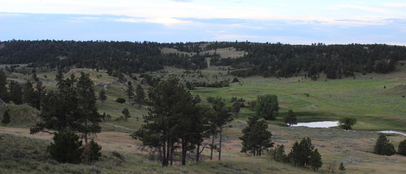
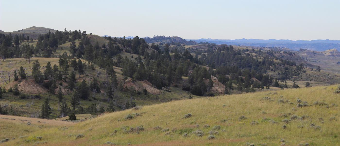
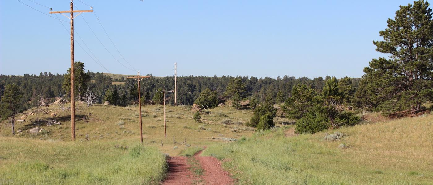
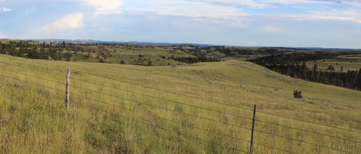
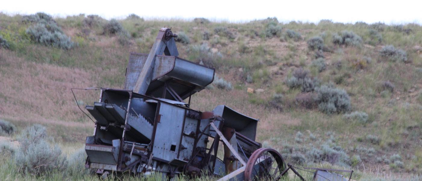
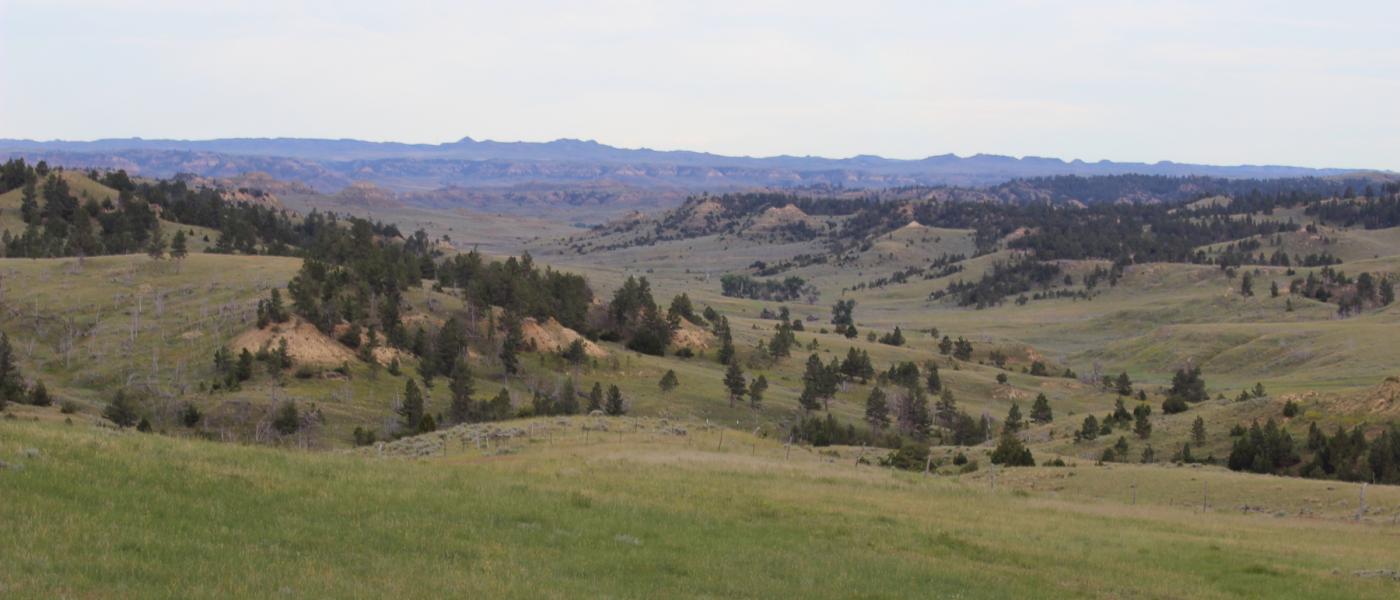
Cabin Creek Ranch consists of 7,041+/- deeded and 1,760+/- BLM acres in northern Sheridan County, Wyoming. The property is served by extensive infrastructure including electricity, ranch roads, cross fencing, stock water pipeline, and working corrals.
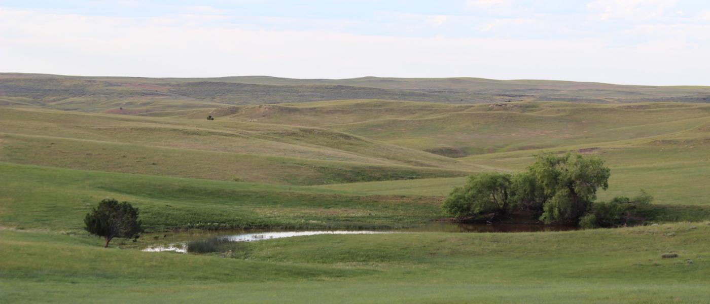
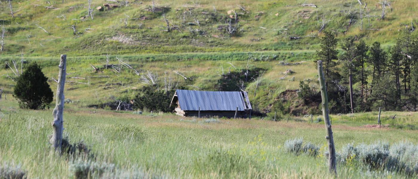
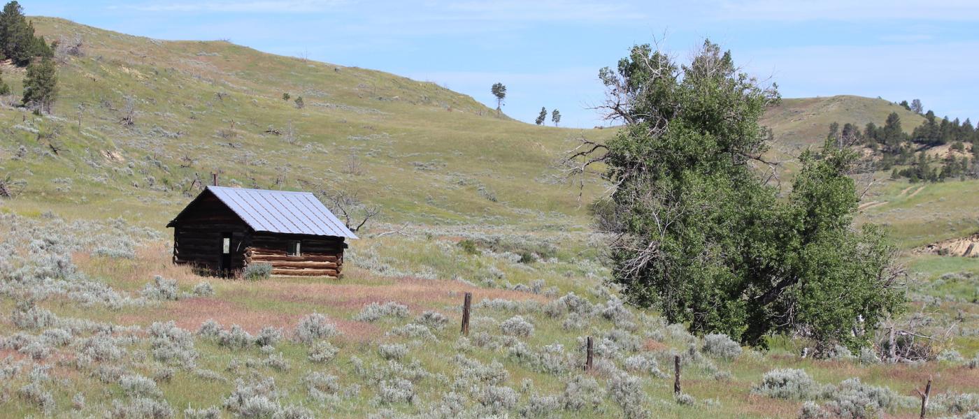
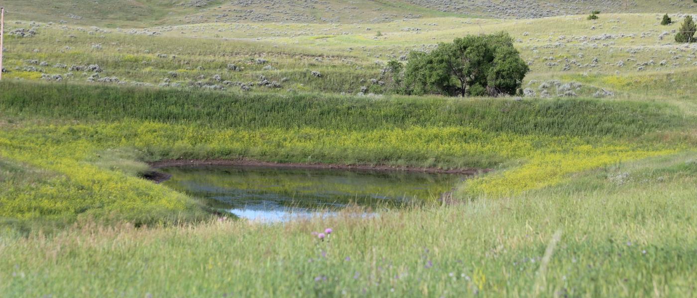
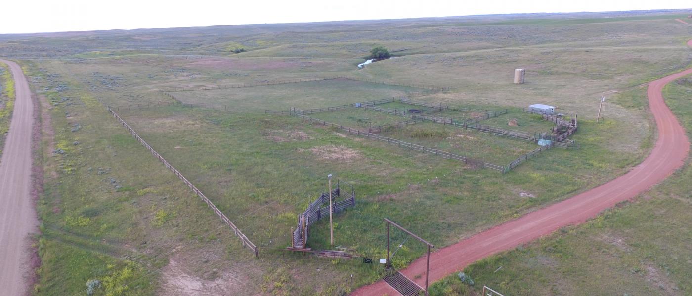
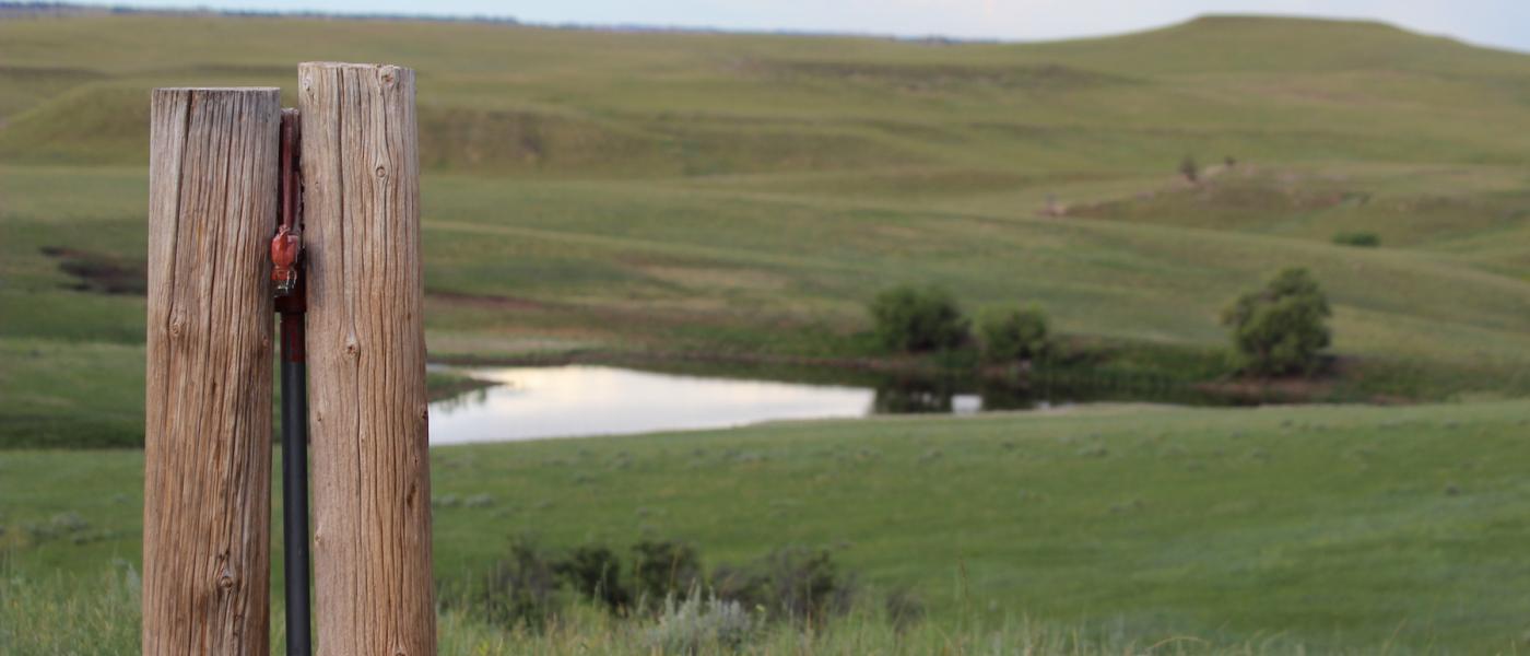
A water well fills 12,000+/- gallons of storage water and nearly 12 miles of buried pipeline distributes abundant stock water to over a dozen tanks in eight pastures. Two phase and three phase power is available in multiple locations including several potential headquarter sites. A very functional set of working corrals is located on the northwest corner of the property adjacent to Passaic County Road. The ranch does not have a residence, however there are several very good building sites and historic homesteads on the property.
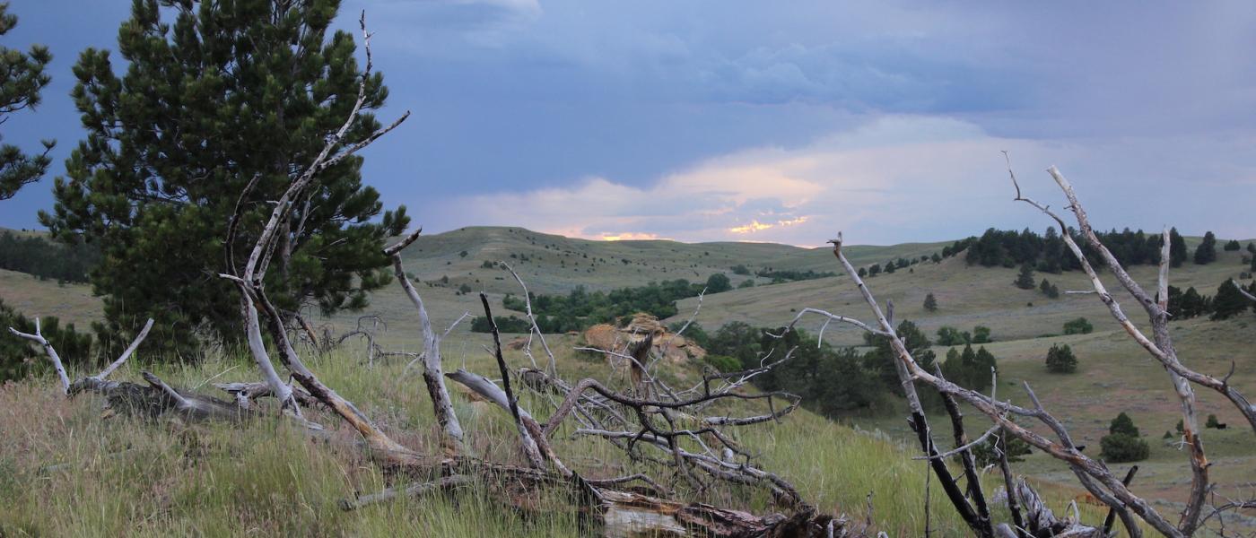
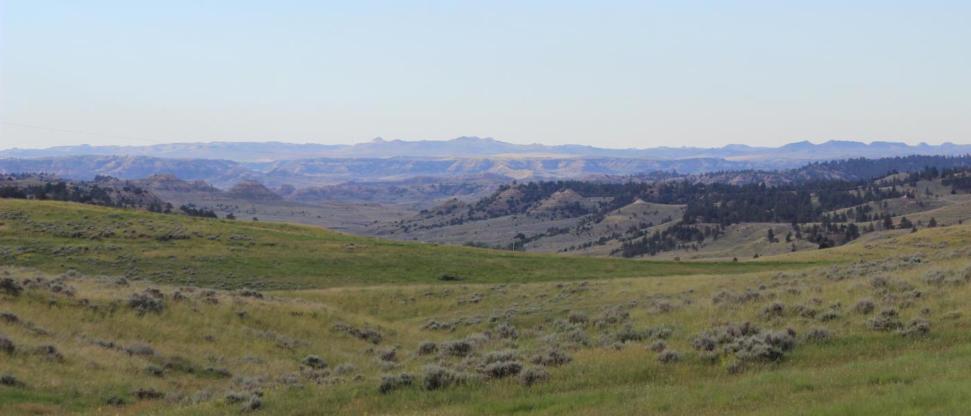
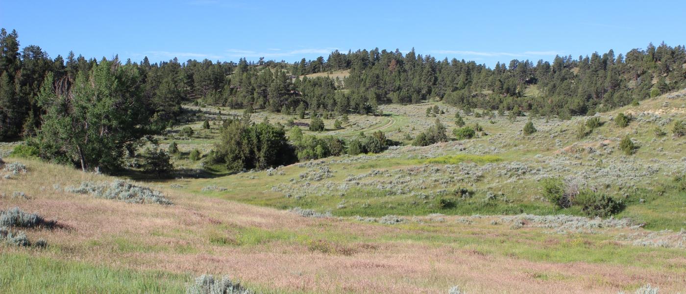
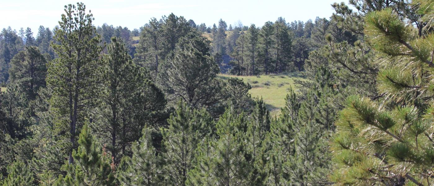
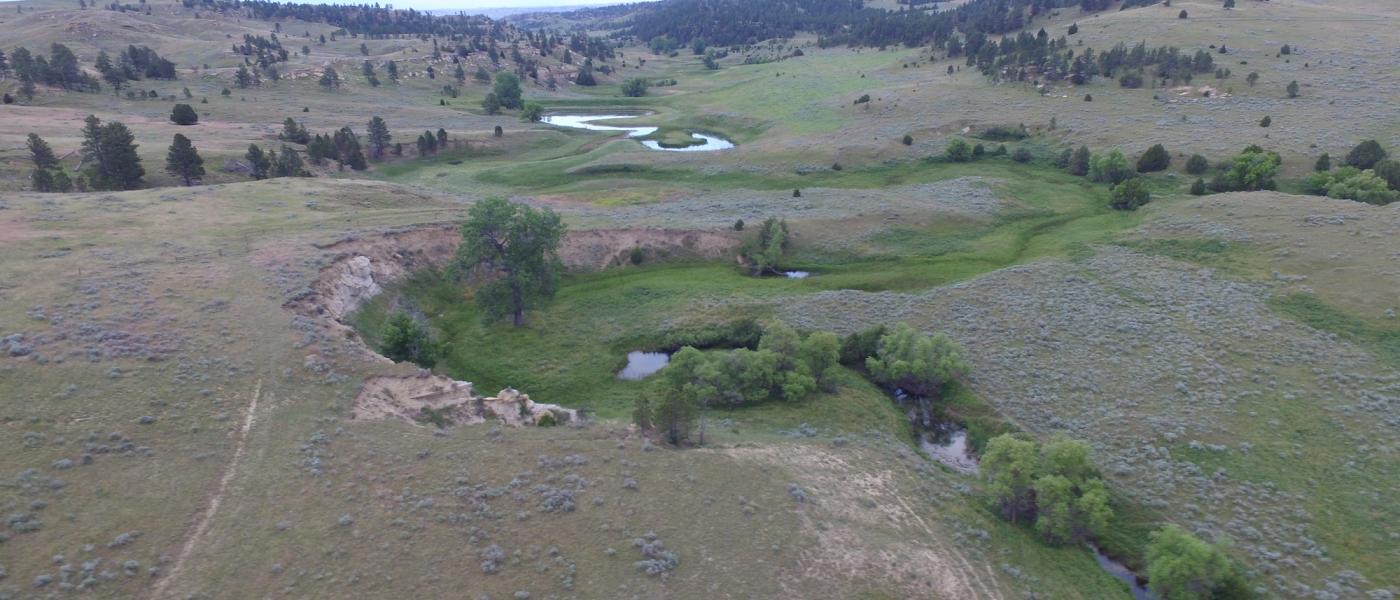
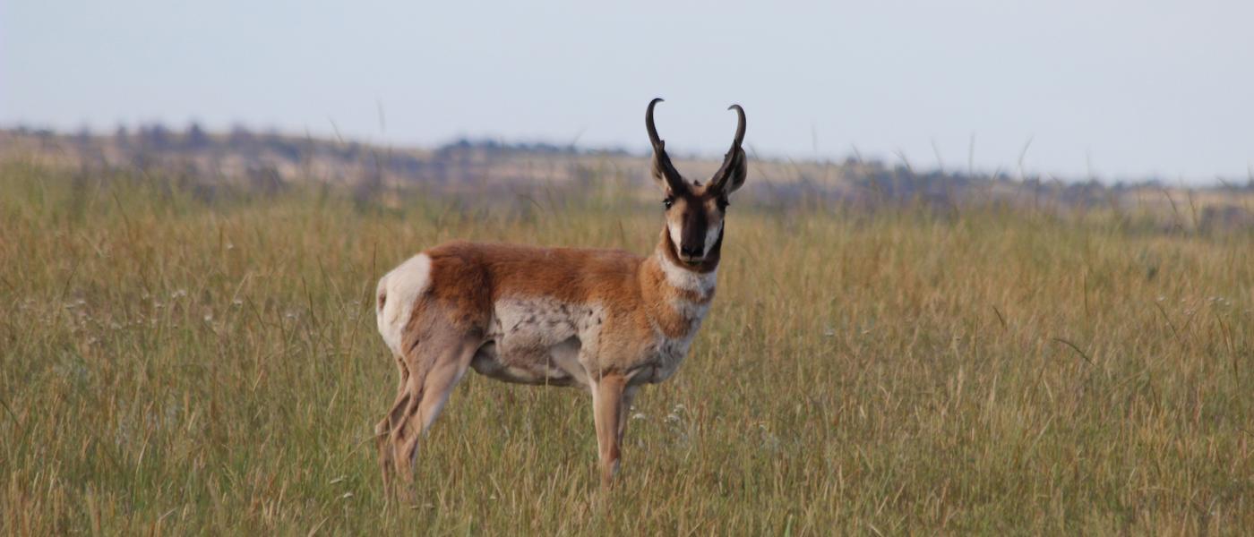
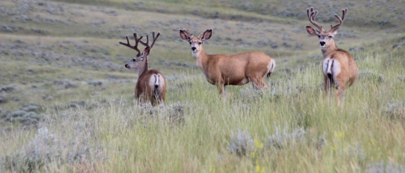
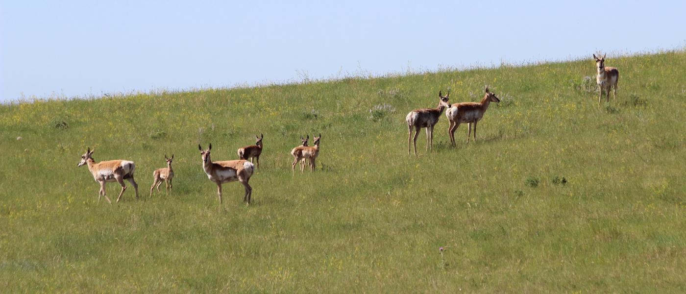
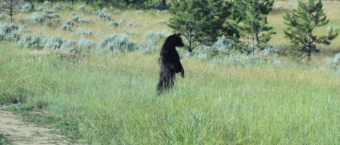
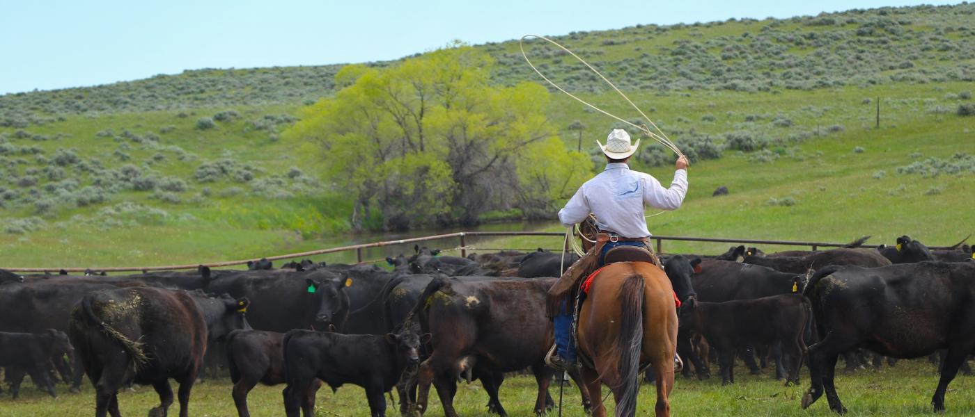
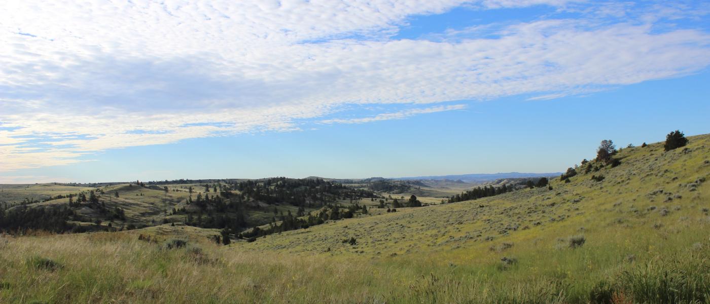
Abundant wildlife including elk, mule deer, antelope, turkey, sharp tailed grouse, and even black bear find the habitat of ponderosa pine ridges and grass filled hillsides ideal. Uniquely suited for the outfitter or game enthusiast, the ranch is located in a general tag area with mule deer in the 180+ inch class and elk in the 300+ inch class. Cabin Creek is a seasonal stream that typically holds water year around in its oxbows. North Cabin Creek, Remington Creek and numerous other intermittent stream valleys provide excellent cover. Multiple stock reservoirs are also located on the ranch.
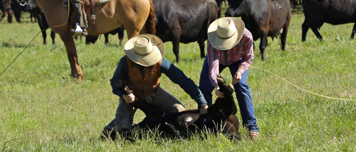
The area is well known for its excellent forage. The ranch will make a solid low overhead grass ranch for summer pasture, year around cow-calf, or yearling operation. Estimated property taxes in 2018 are $3,909. In addition to the cattle operations and hunting opportunity, the ranch has additional revenue streams to defer the cost of ownership and make this a quality investment.
Carrying capacity of range country and of harvested feed produced on a ranch can be expressed as animal units or animal unit months. The animal unit (AU) is the annual feed requirement to maintain a mother cow or the equivalent in thrifty condition (with calf at side for six of the twelve months). Carrying capacity is that portion of the animal units of the maximum feed production that can be utilized after consideration of all limiting factors and customary operation practices. Any carrying capacity rating must be estimated with caution, keeping in mind the size and breed of the cows, the weaning weights of the calves, and even the length of time the calves are grazed. A carrying capacity rating can vary as much as 30% to 40%, depending upon the range usages. In addition to pasture rotation and other management factors, such as water availability, livestock type and size, and the length and timing of pasture season. A properties total carrying capacity is also affected by external influences such as topography, rainfall, pests, wildlife, and other numerous influences.
Contact
PHONE: (307) 217-2777
Site Links
HomeFarm & Ranch Properties
Residential & Recreational Properties
Auctions
Buying & Selling
Panacea
About Us
Contact Us
Disclaimer
Content on this website is for general information only and has been obtained from sources deemed reliable; however, the accuracy of this information is not guaranteed or warranted by Powers Land Brokerage, LLC. Listings are subject to prior sale, price change, correction or withdrawal without notice. Visitors are charged with making and are expected to conduct their own independent investigation of the information provided, directly or indirectly, by this website or Powers Land Brokerage, LLC.