
Casper Airport Pivot Farm
Brochure is not currently available for this property.
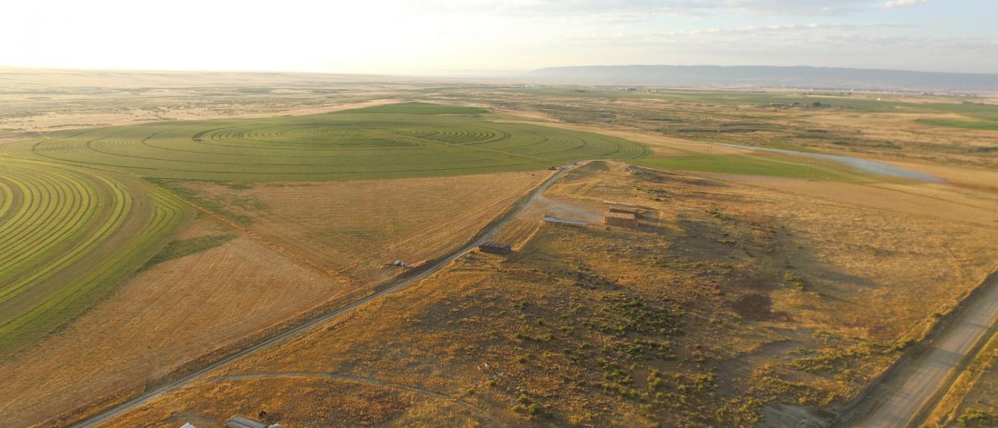
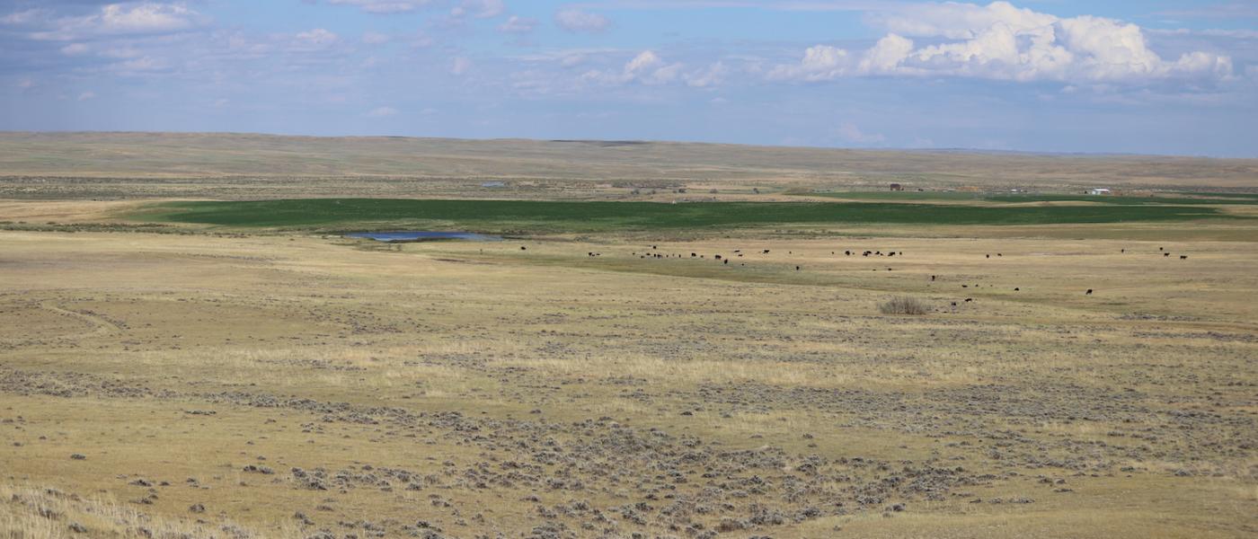
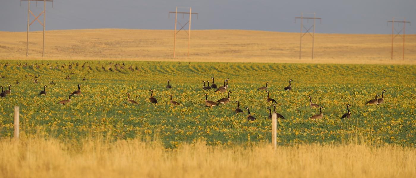
The Casper Airport Pivot Farm is part of a fourth-generation family ranch and is on the market for the first time since the mid 1930’s. The Bressler Family broke this sod and has done well raising seed alfalfa, hay, beans, corn, and malt barley.
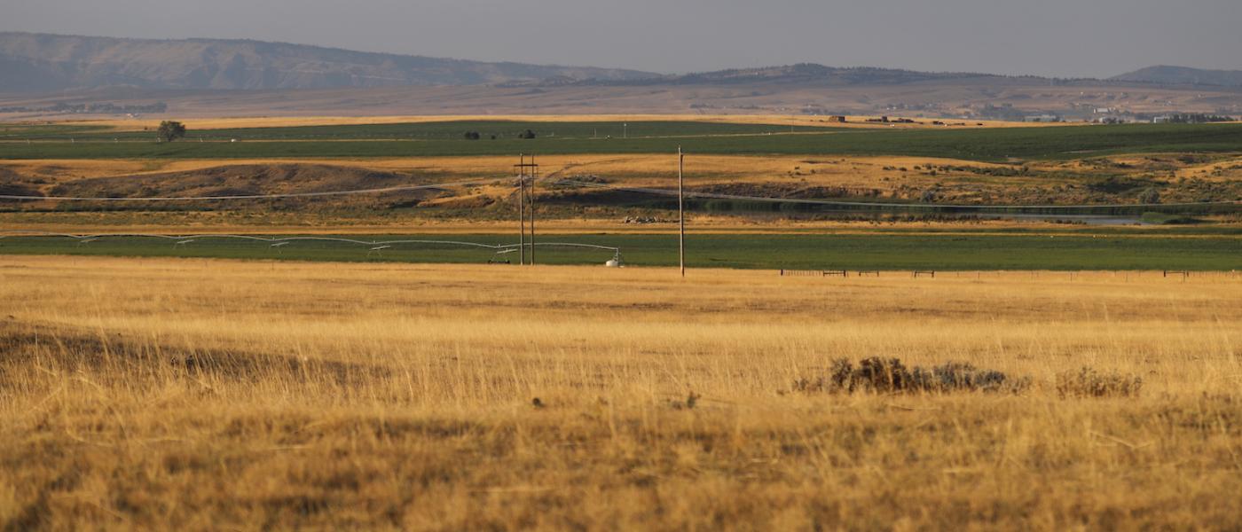
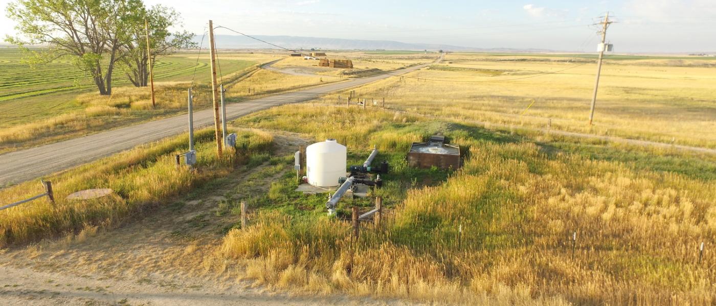
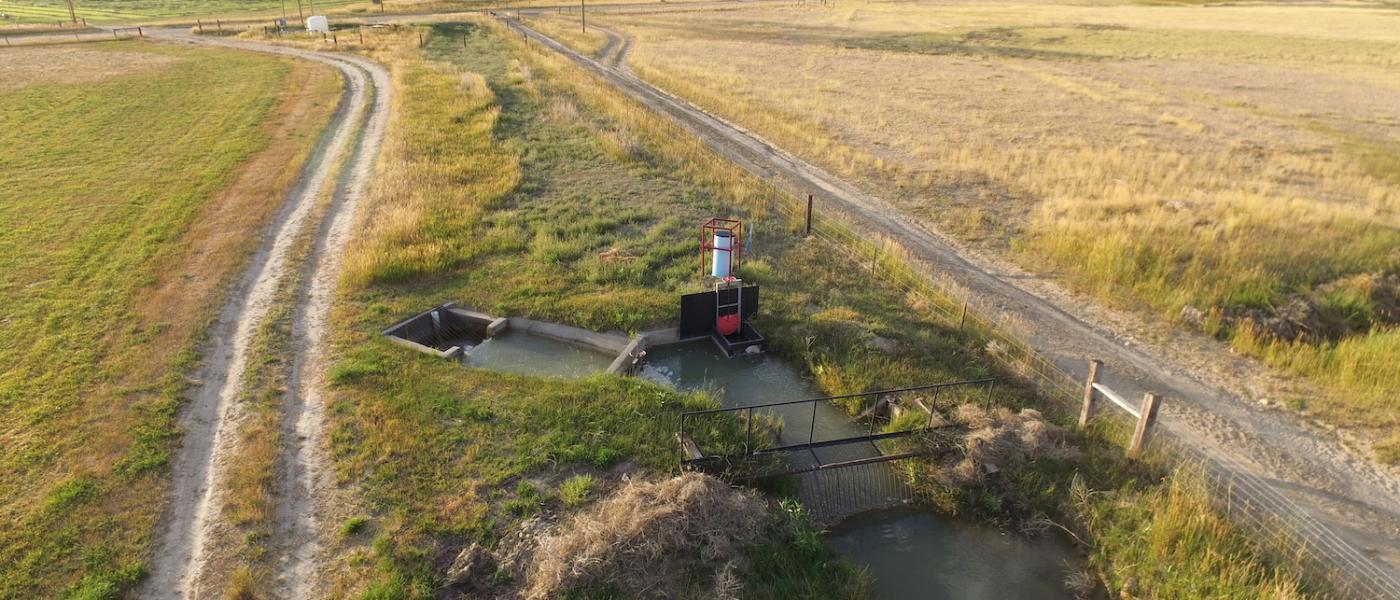
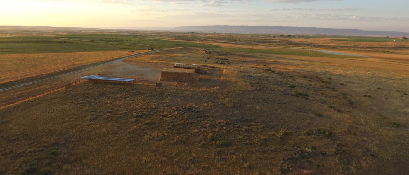
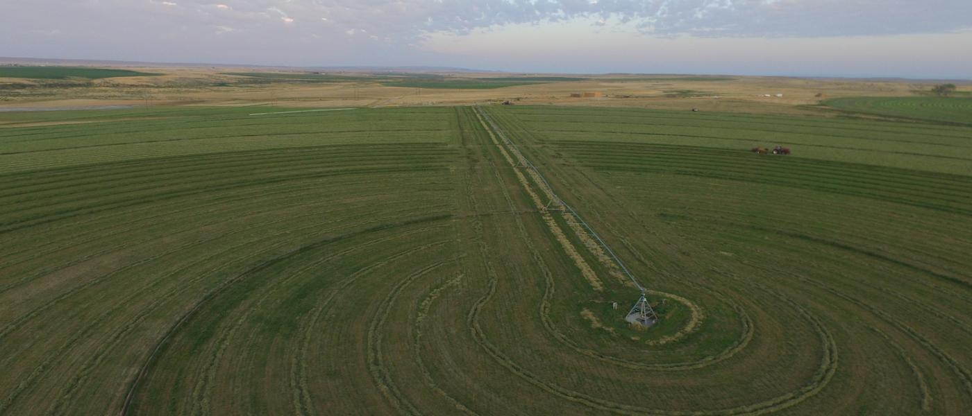
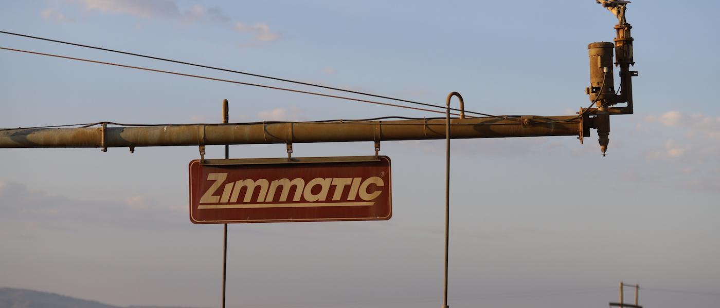
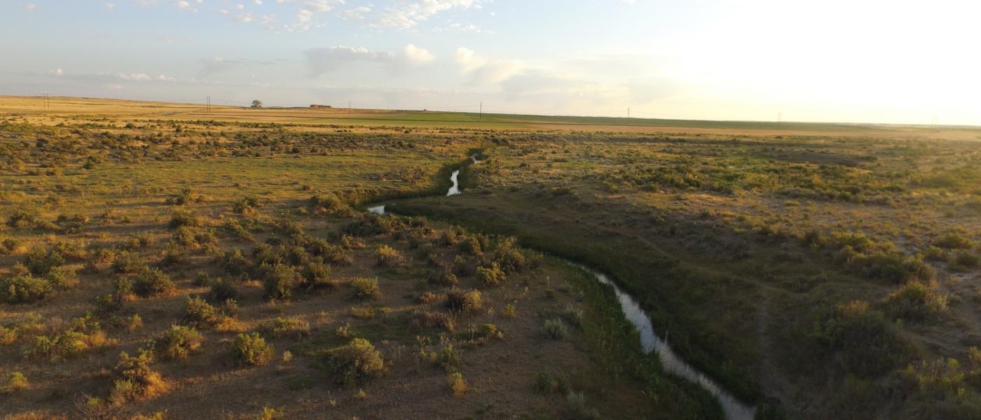
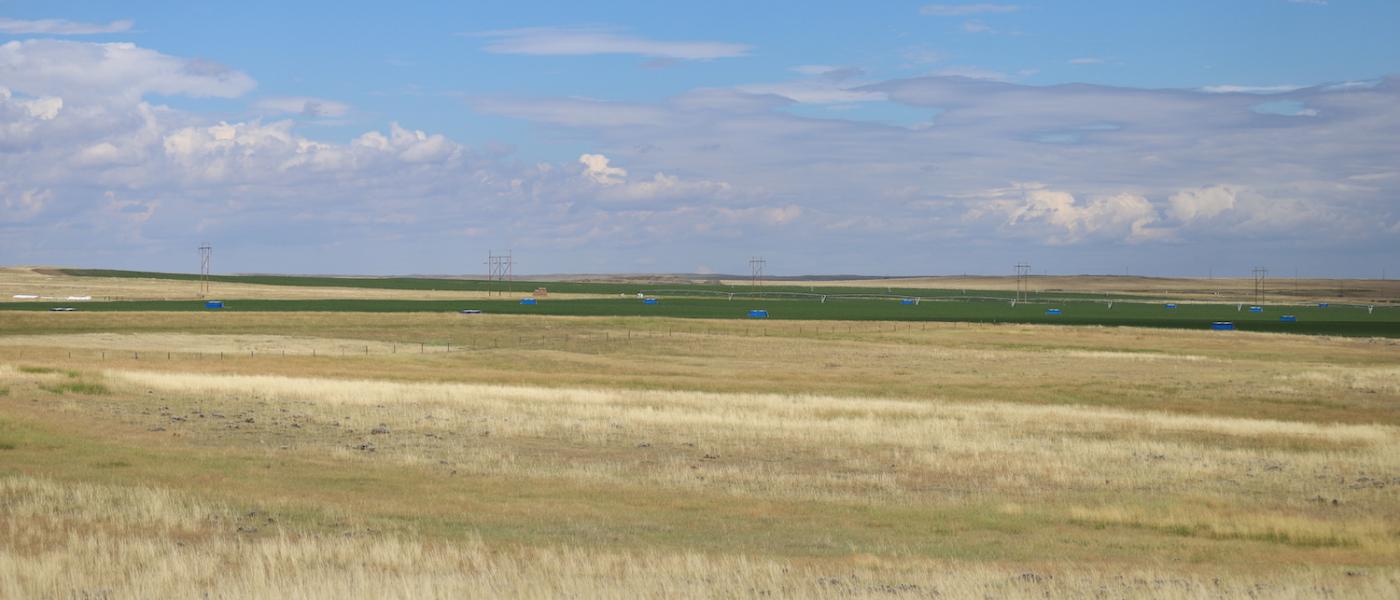
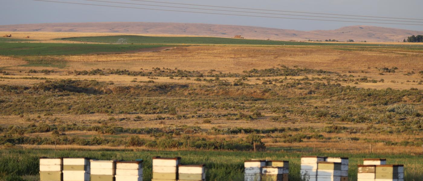
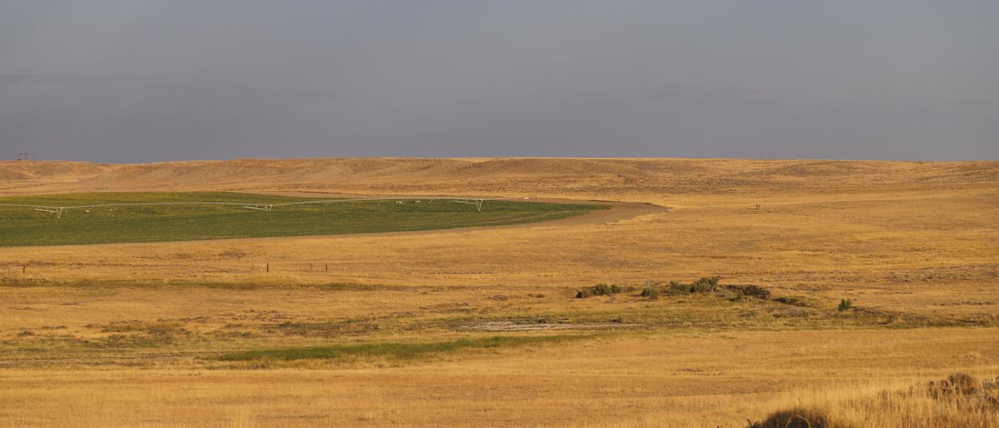
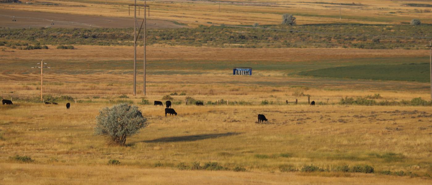
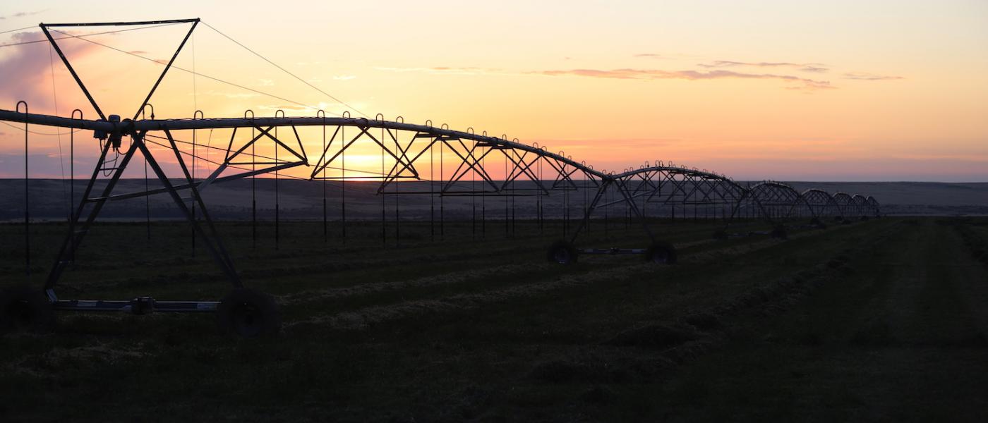
Consisting of approximately 662+/- Acres of irrigation with a majority under five pivots utilizing new technology Grow Smart controls and injected fertilizer and the remainer under flood irrigation. An additional 554+/- acres of range with increased production coming from irrigation tail water and subirrigated land on both sides of South Casper Creek.
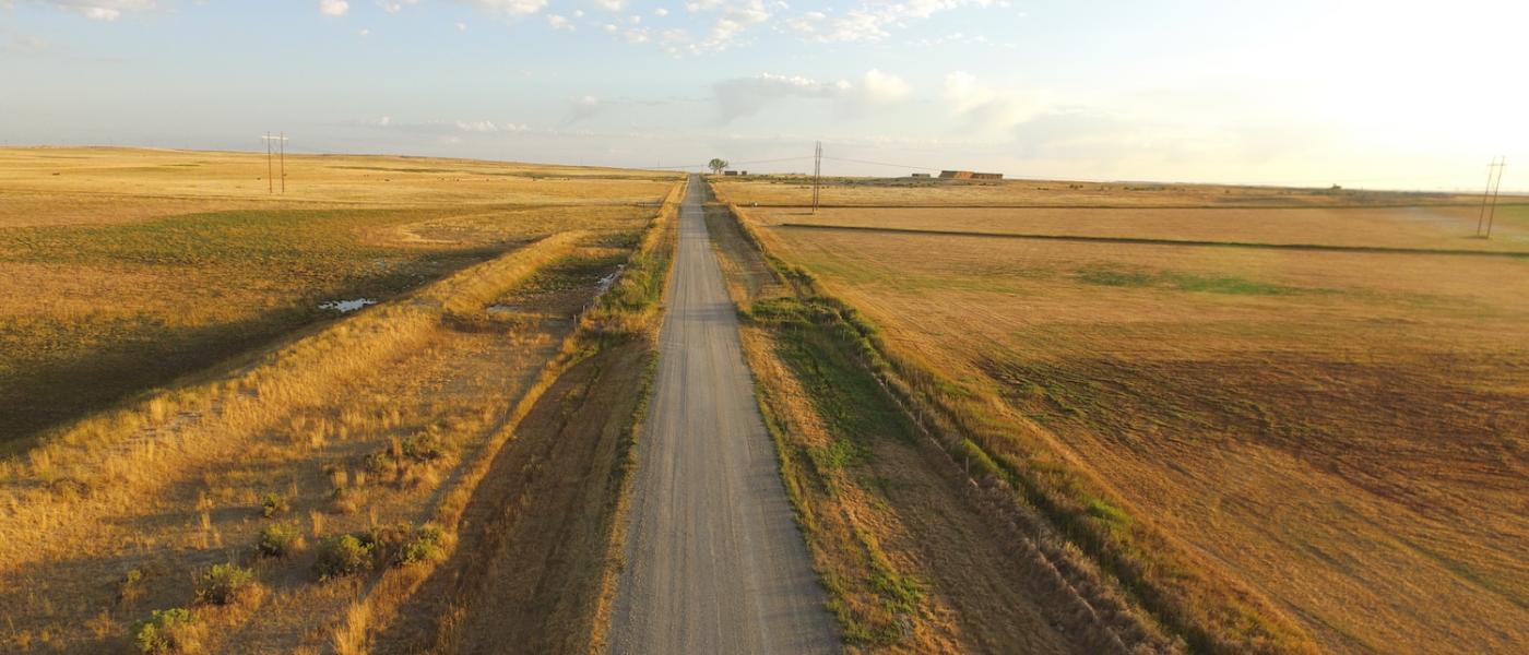
Excellent access along county road 33 Mile only minutes north of US Highway 26 and the Casper Natrona International Airport. Water is supplied by the Casper Alcova Irrigation District via a well planned bubbler, ditch, pumps and pipelines. In 2020, the irrigation water costs $23 per acre and is considered some of the most reliable irrigation water in the state. Located near I-25 and Highway 26 allows convenient east/west and north/south shipping.
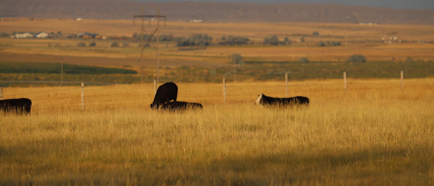
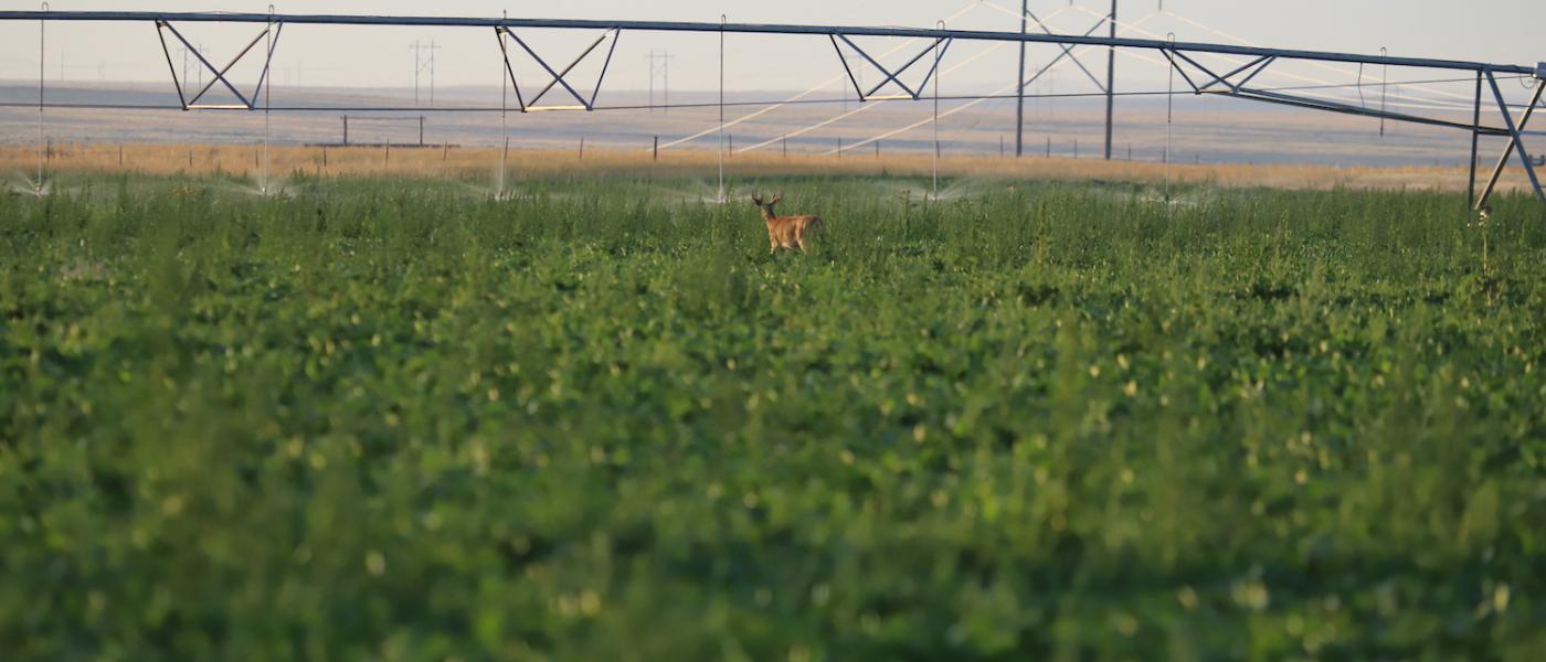
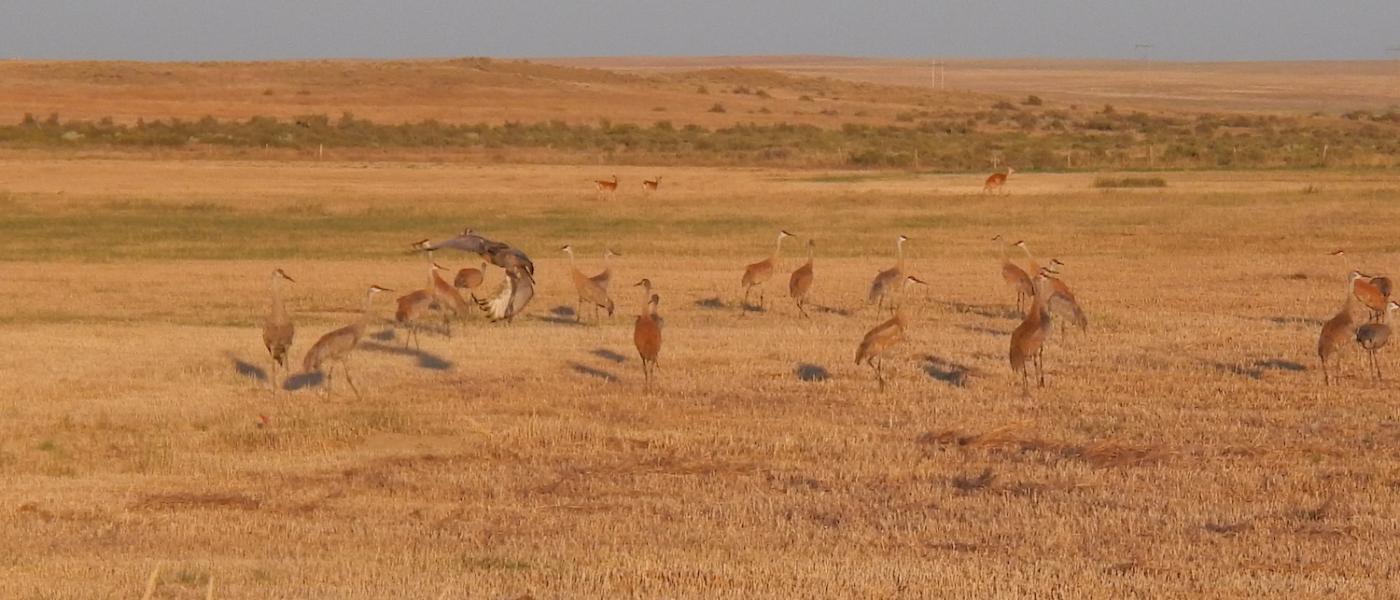
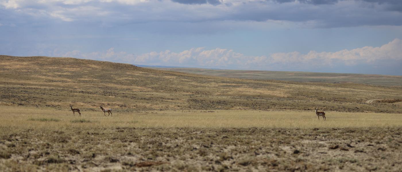
The crop and range land the property provides an excellent hunting opportunity for upland birds, antelope, and deer. Wyoming's favorable property, corporate, and income taxes make this prime real estate a rewarding investment. A portion of the land lies within the Thirty Three Mile Service District and could receive municipal residential water with a pipeline extension paid for by the owner.
Call for additional information on what fields are seeded to what crop. Depending on the timing of closing the Seller would consider a farm lease for a year or two in order to help the new buyer transition to the property. Additional land is available for sale.
Contact
PHONE: (307) 217-2777
Site Links
HomeFarm & Ranch Properties
Residential & Recreational Properties
Auctions
Buying & Selling
Panacea
About Us
Contact Us
Disclaimer
Content on this website is for general information only and has been obtained from sources deemed reliable; however, the accuracy of this information is not guaranteed or warranted by Powers Land Brokerage, LLC. Listings are subject to prior sale, price change, correction or withdrawal without notice. Visitors are charged with making and are expected to conduct their own independent investigation of the information provided, directly or indirectly, by this website or Powers Land Brokerage, LLC.