The Conley
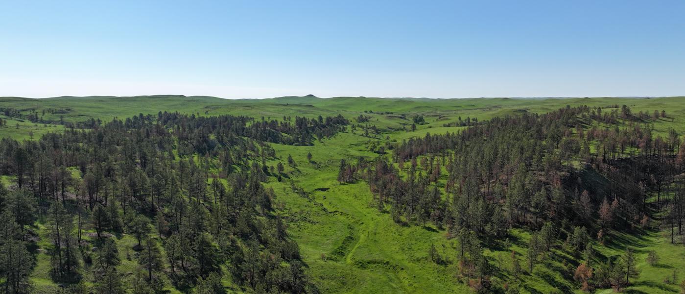
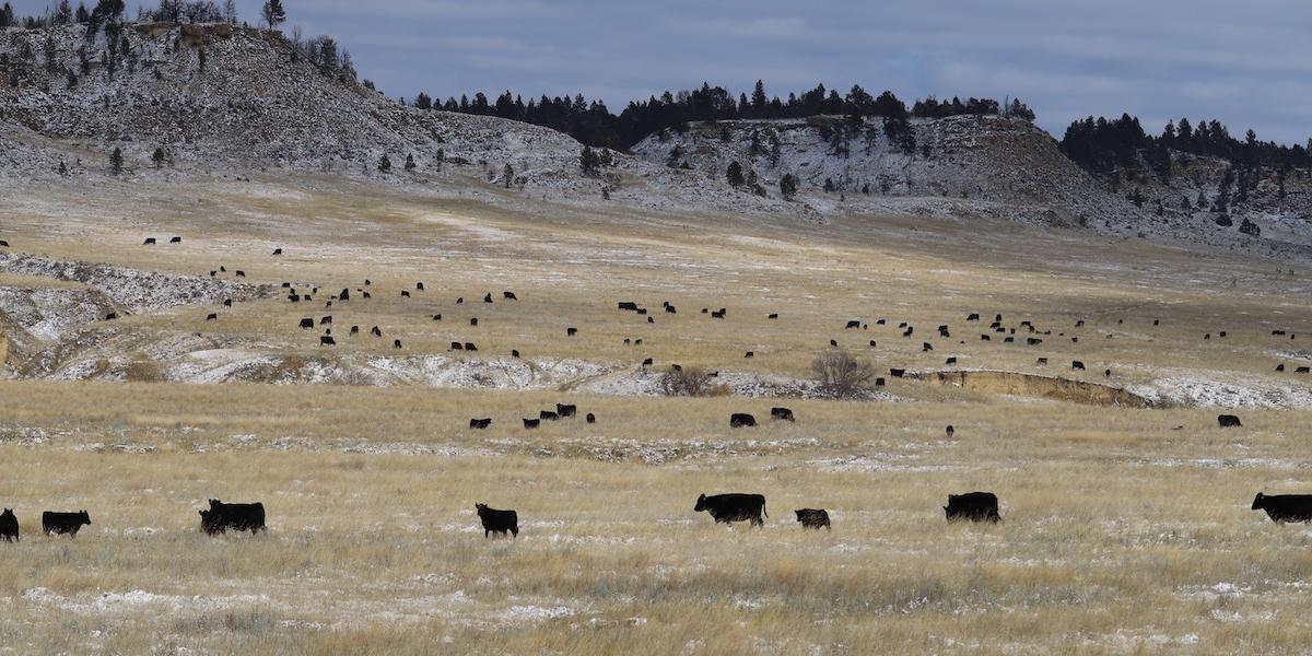
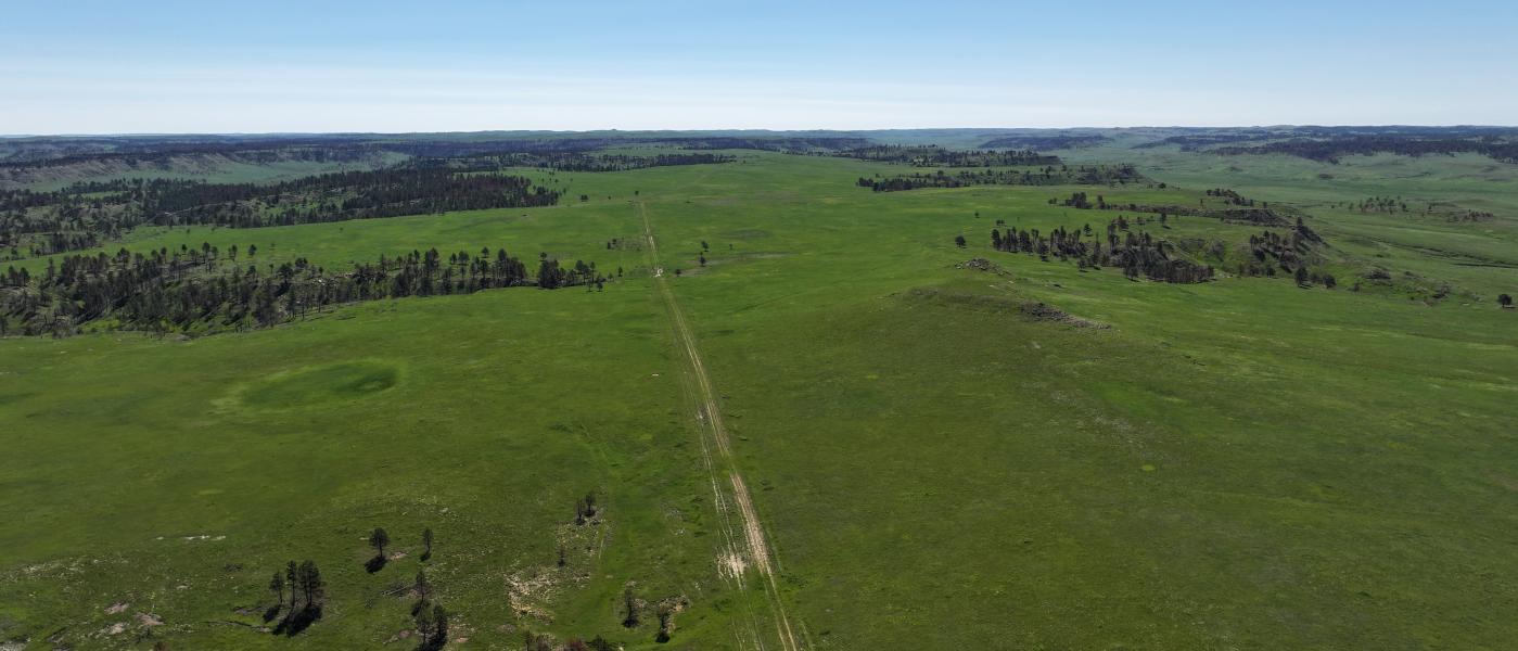
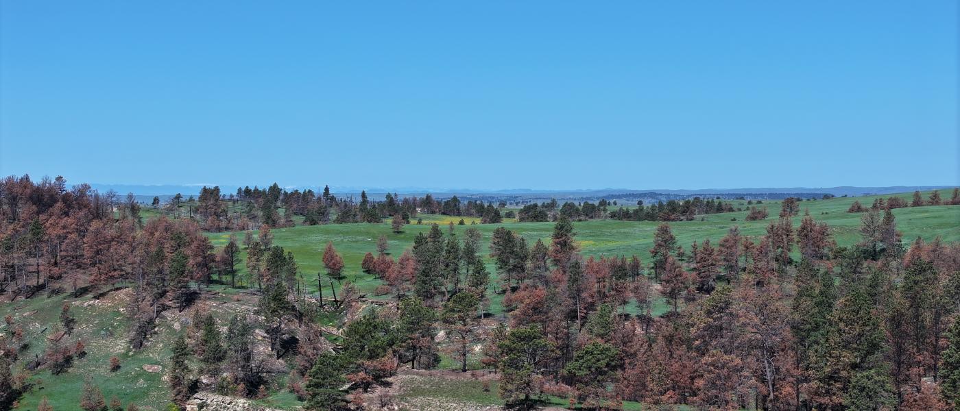
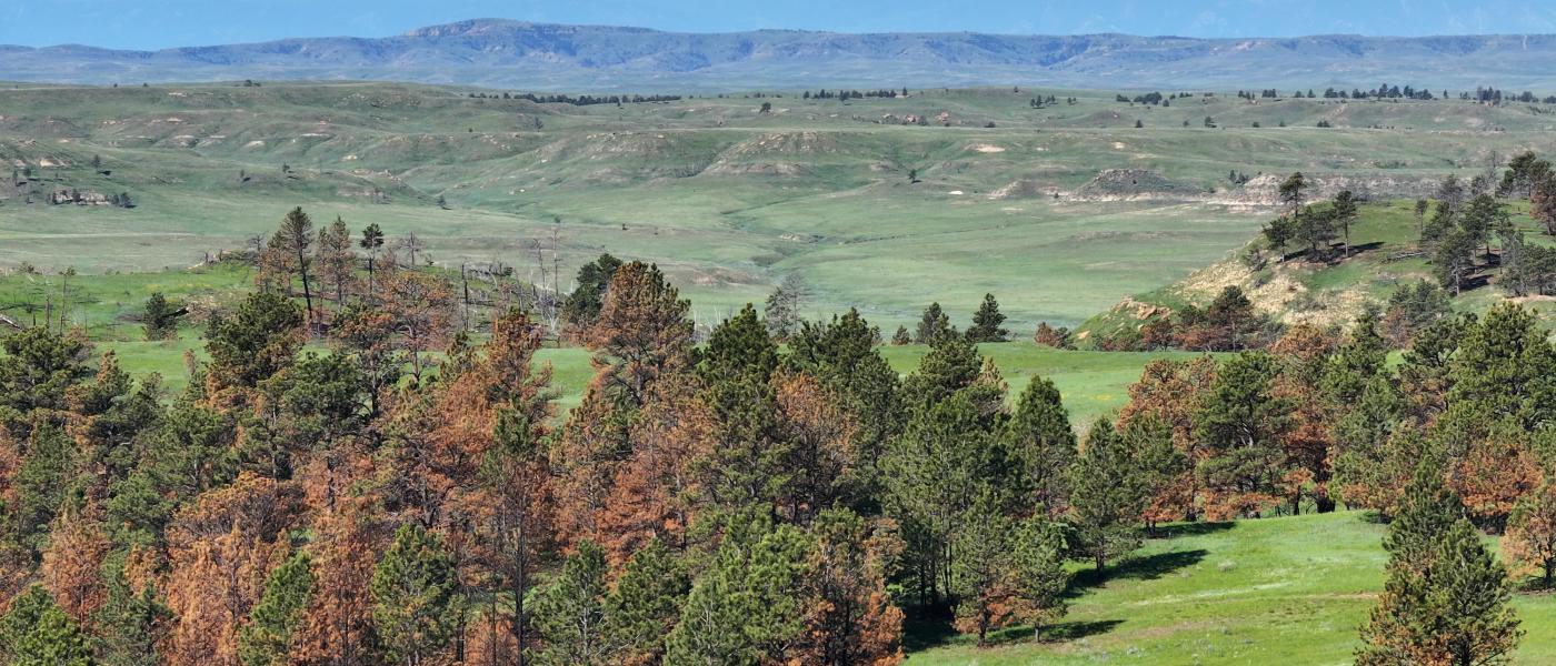
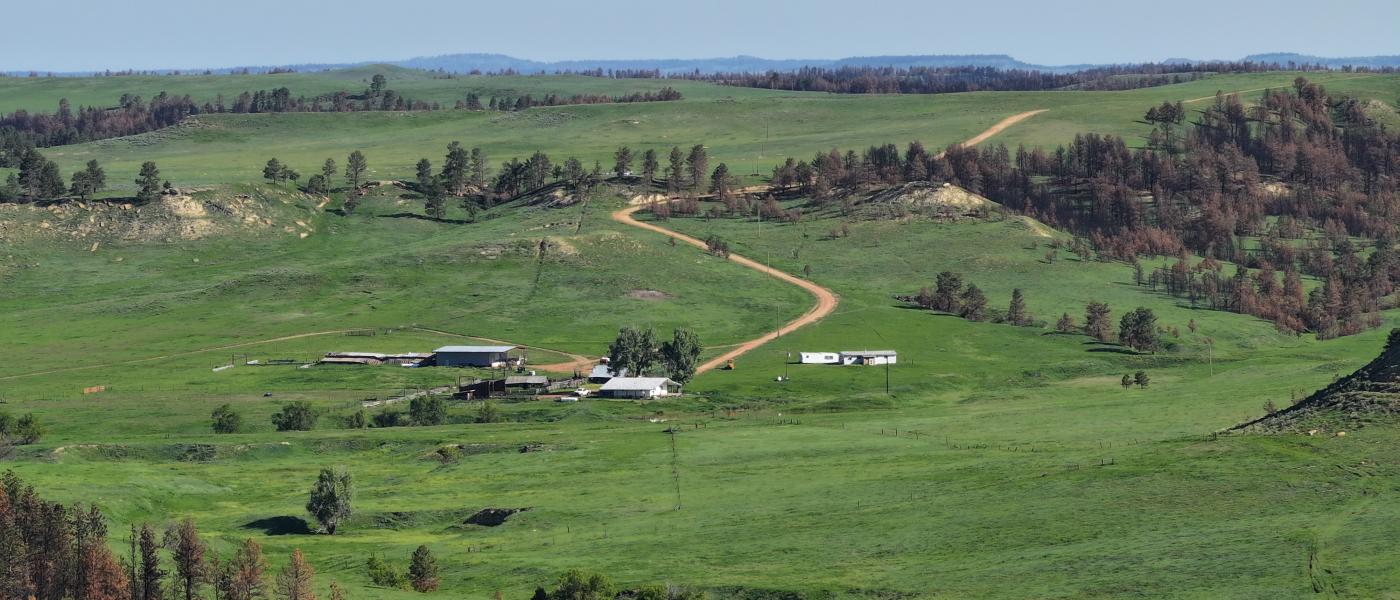
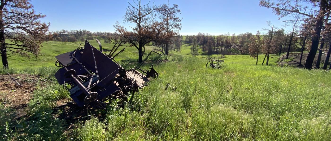
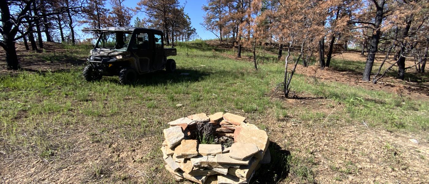
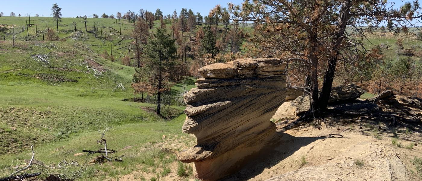
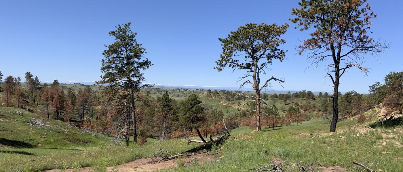
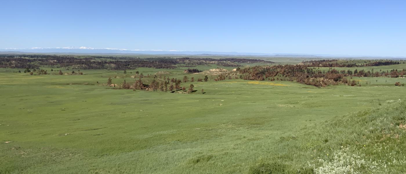
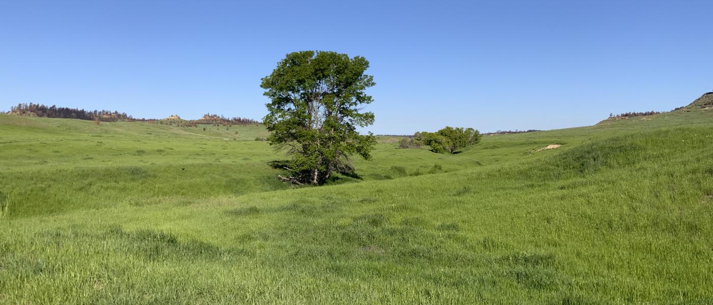
Surrounded by other massive cattle ranches, the Conley holds 9,300+/- deeded, 2,200+/- BLM, 1,640+/- State, and 320+/- Private Lease acres. Altogether, an impressive contiguous and well watered ranch of 13,290+/- acres. The 2024 Remington Fire cleared much of the sagebrush and thinned a lot of the timber making this the ideal cattle ranch. Blessed with abundant rainfall in 2025, the Conley was rested for the past year so the grass is far above average and the perimeter fence has been completely rebuilt with mostly "fire proof" fence.
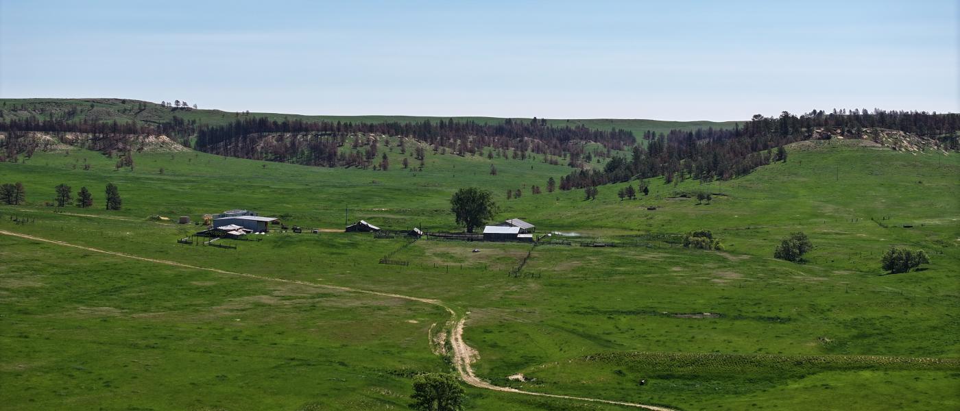
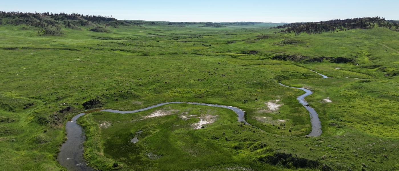
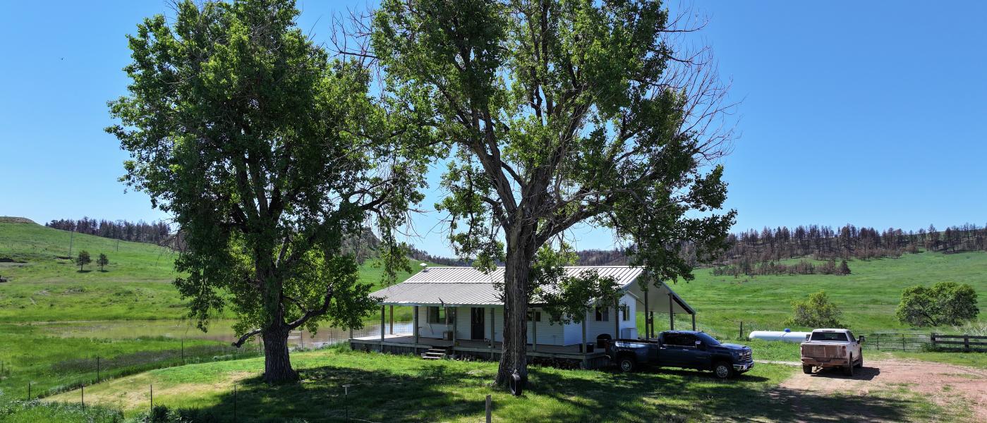
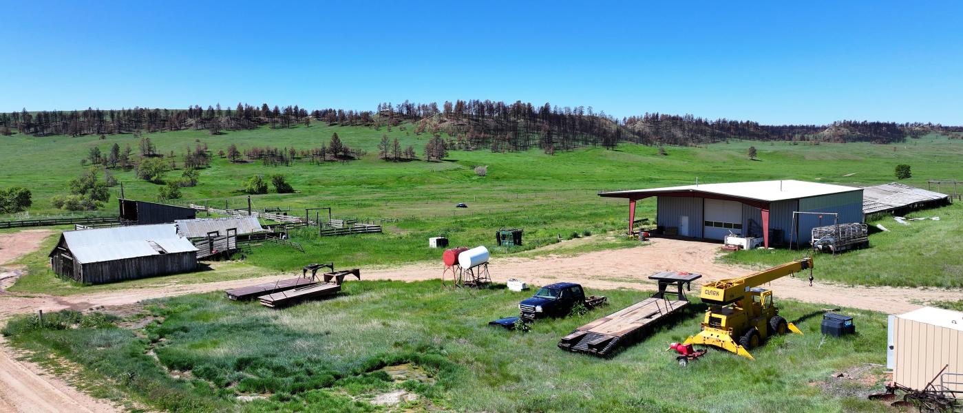
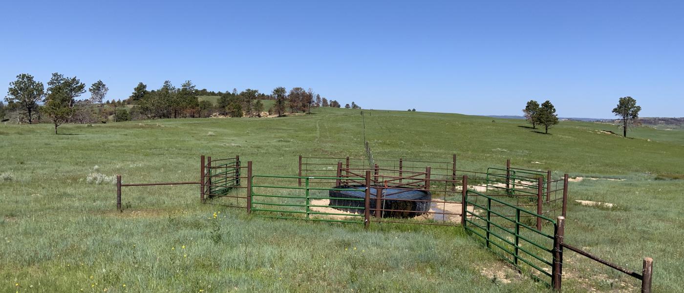
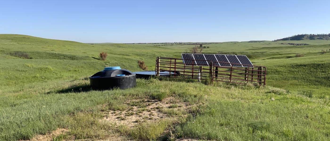
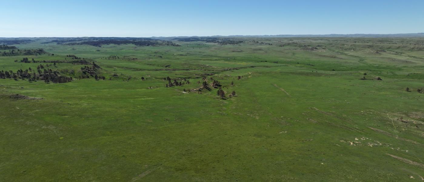
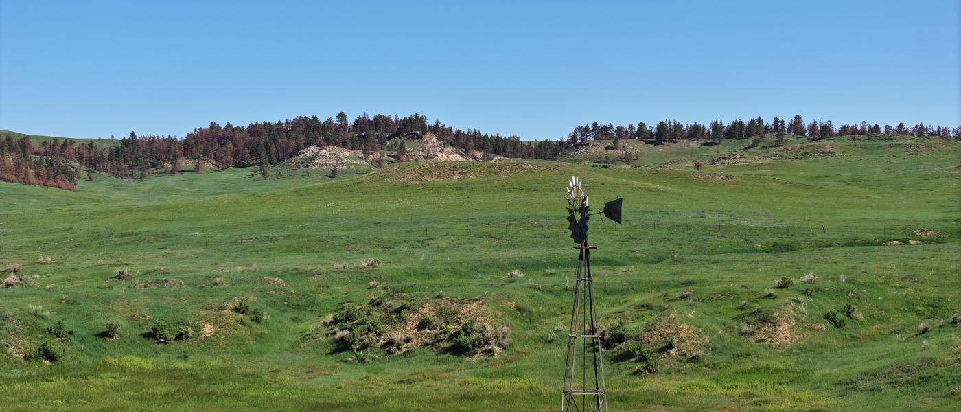
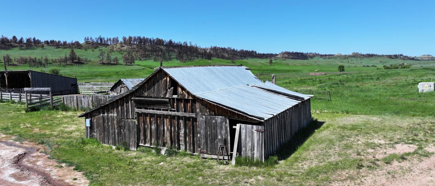
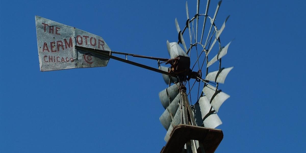
Nearly 20 miles of stock water pipeline feeding 20 rubber tire tanks and some freeze resistant tanks the Conley is ready for your cows. Several other wells provide additional watering sources. East Trail Creek is a year around water supply of slow moving brackish water that runs from east to west for over 8 miles.This is year around country with good shelter and reasonable working improvements including a large heated shop and modest home to get you right to work.
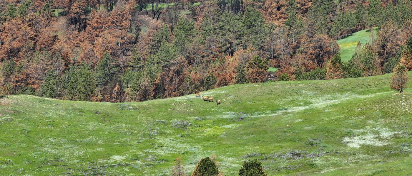
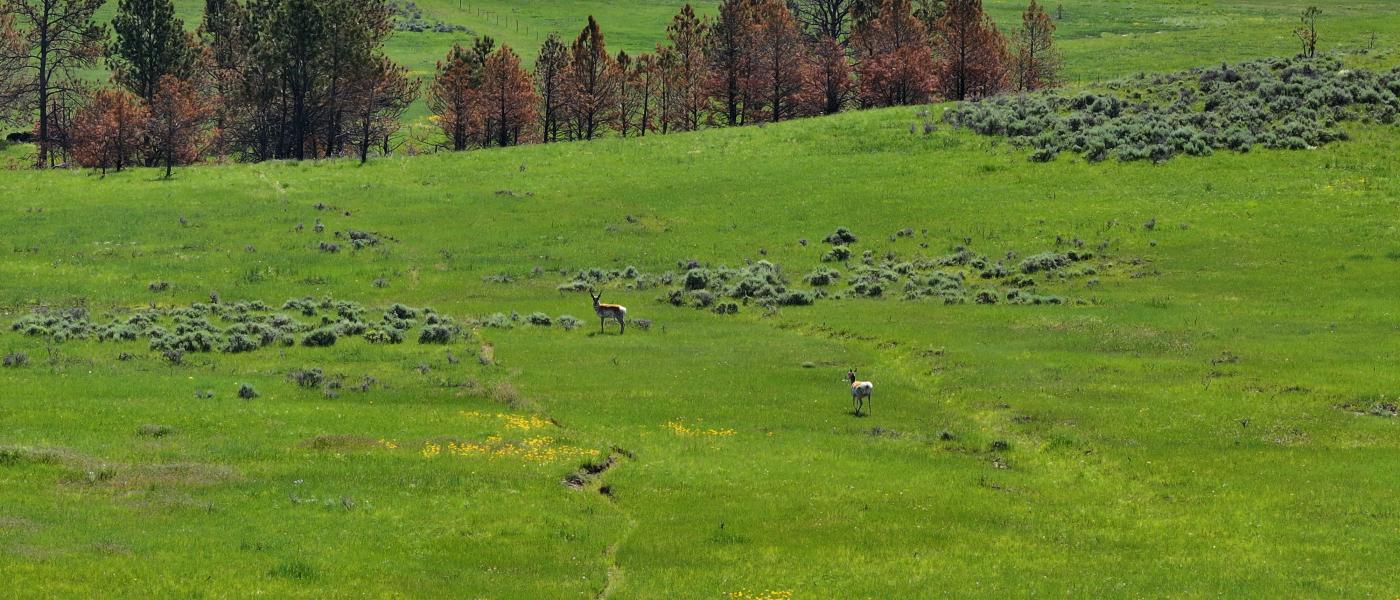
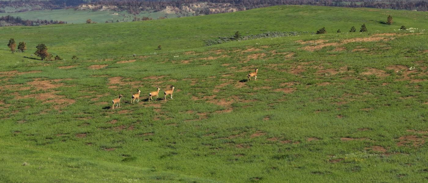
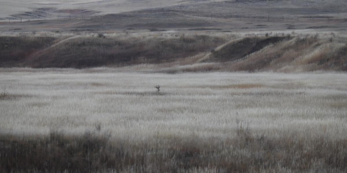
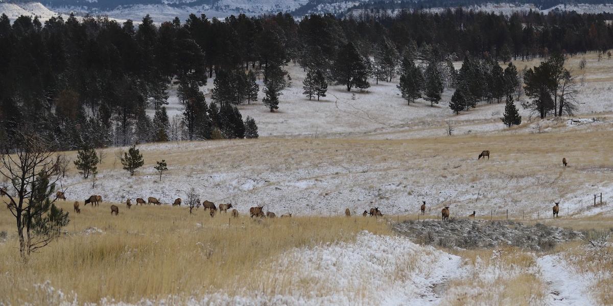
The area is renowned for Boone and Crocket Elk and Mule Deer there is no better hunting in Montana. Antelope, black bear, sharp tailed grouse, and turkey will add to your working income or your family and friends will have world class opportunity for coveted game. The Conley Ranch is fast becoming the go-to spot for those in the know.
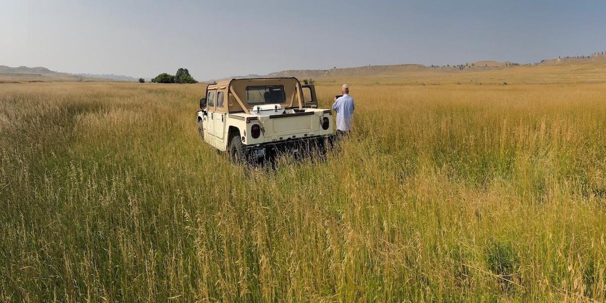
Named the Conley because of the interesting homesteader, Charles Conley, the ranch is located along timbered breaks with dry land hay ground on the upper benches and lush grass along the draws and Trail Creek. The improvements are situated on the divide between the Otter Creek and Tongue River with good gravel county road access to Highway 212 on Montana or Highway 14/16 in Wyoming.
The large tract of public land which the Conley holds the grazing lease on 3,800+/- acres of public land with additional private lease acres that might be available for the new operator to step into.
Contact
PHONE: (307) 217-2777
Site Links
HomeFarm & Ranch Properties
Residential & Recreational Properties
Auctions
Buying & Selling
Panacea
About Us
Contact Us
Disclaimer
Content on this website is for general information only and has been obtained from sources deemed reliable; however, the accuracy of this information is not guaranteed or warranted by Powers Land Brokerage, LLC. Listings are subject to prior sale, price change, correction or withdrawal without notice. Visitors are charged with making and are expected to conduct their own independent investigation of the information provided, directly or indirectly, by this website or Powers Land Brokerage, LLC.