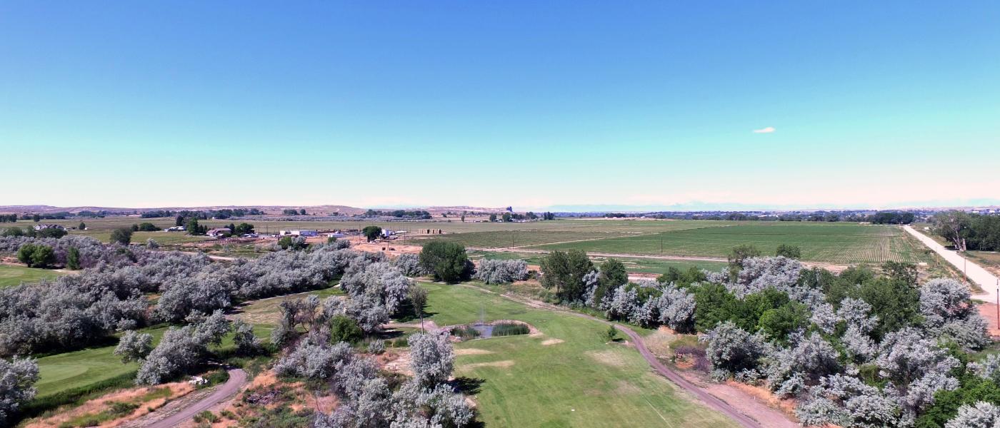
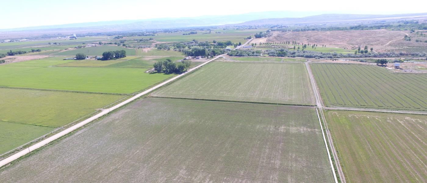
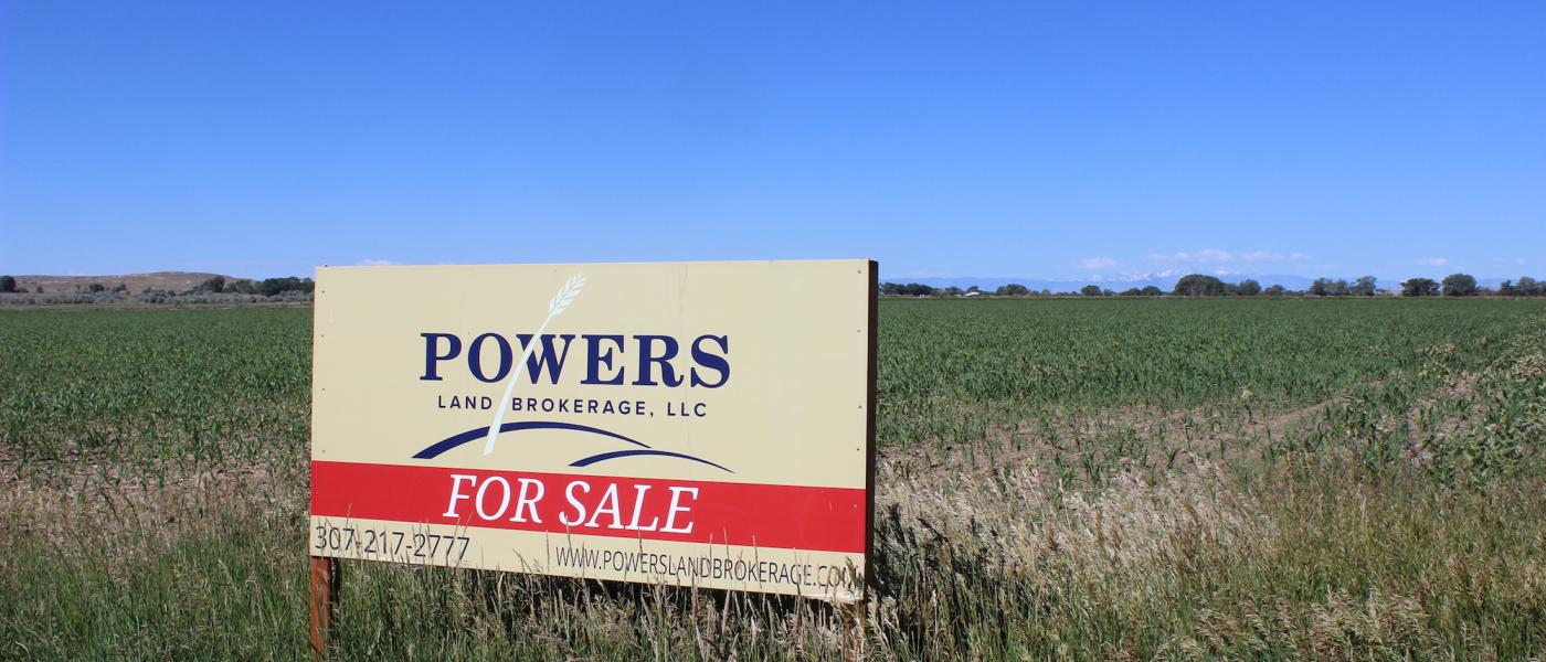
Foster Gulch 39 Acre Farm
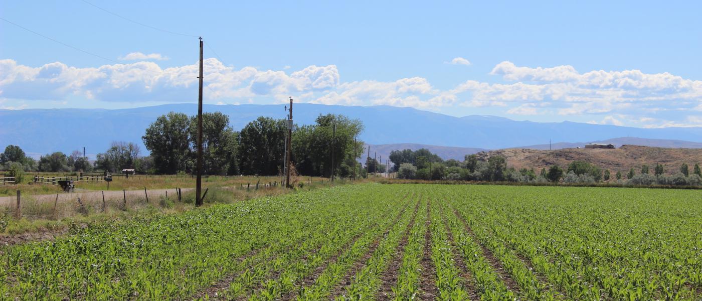
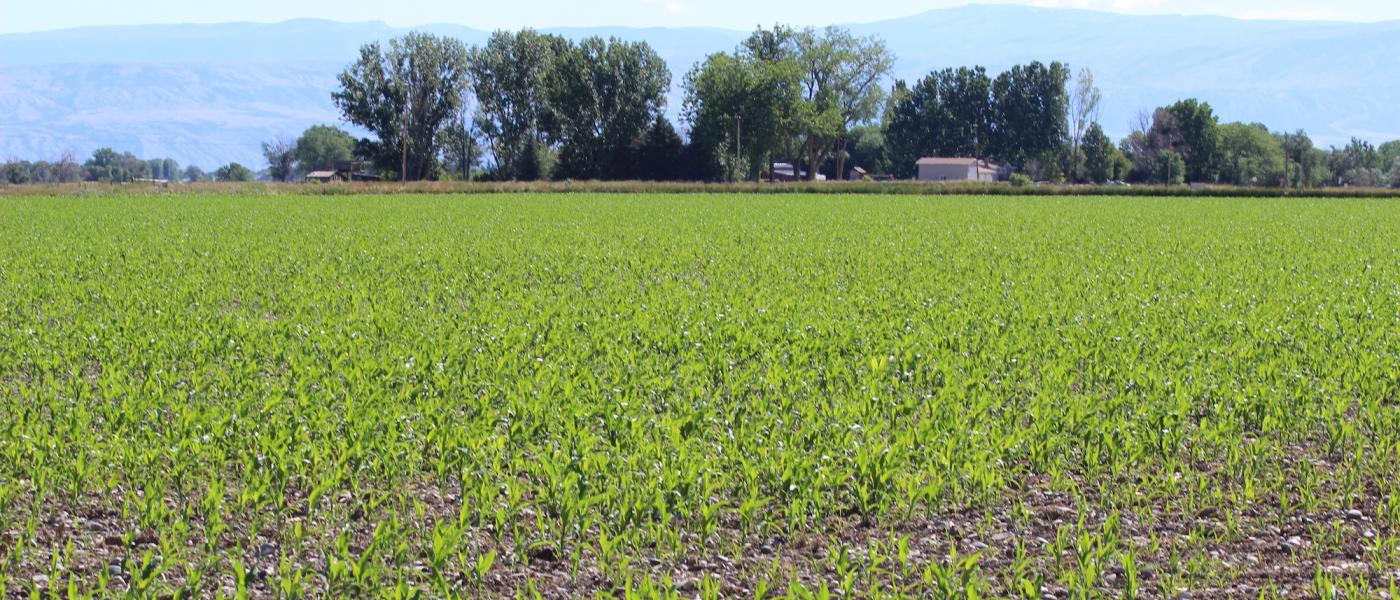
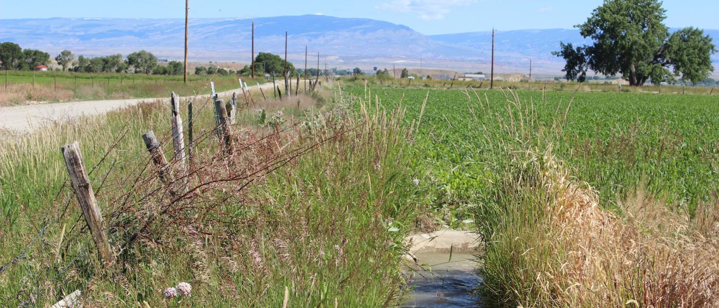
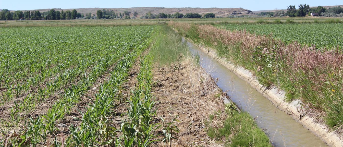
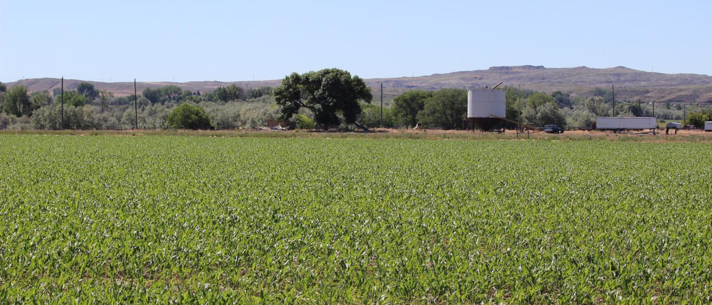
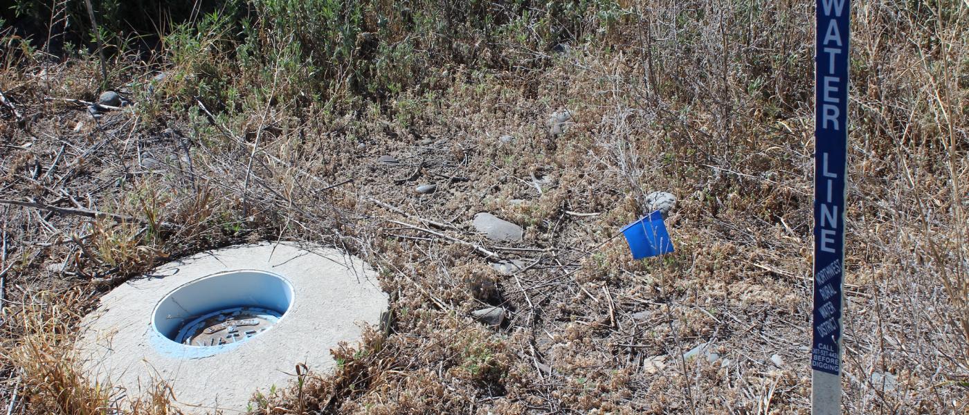
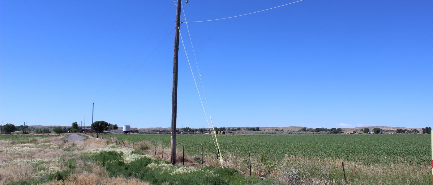
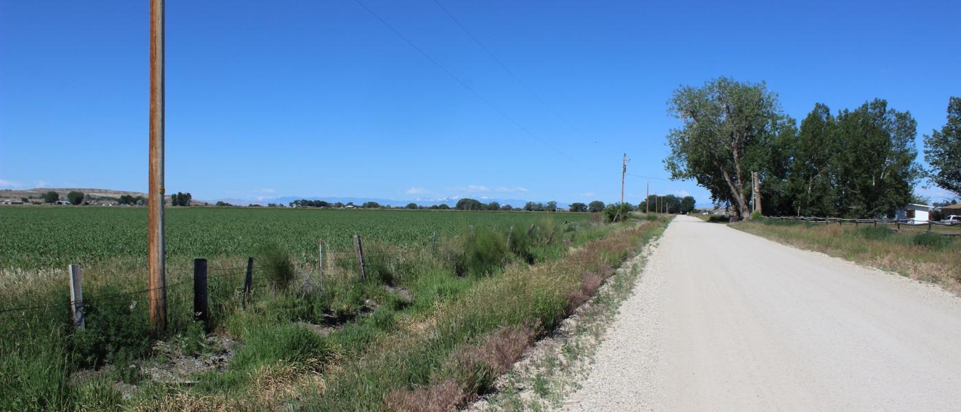
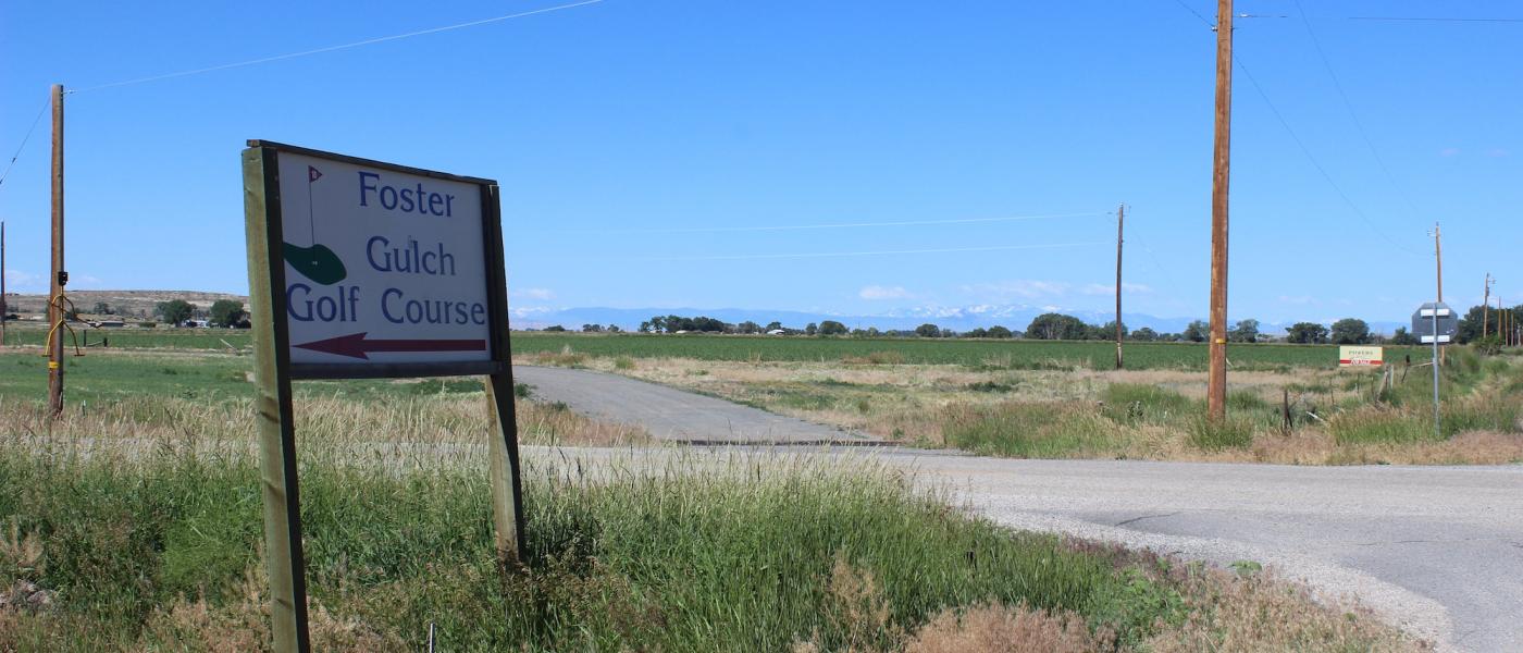
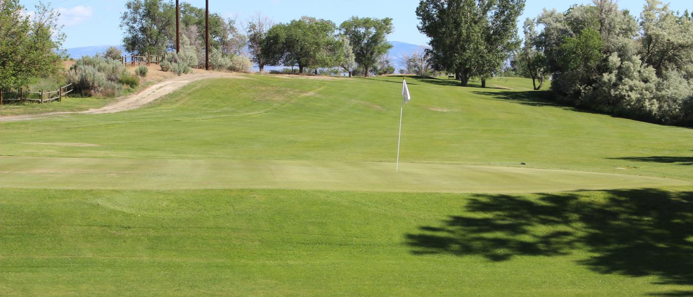
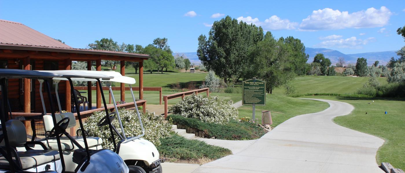
Hard to find 39.23+/- acres with 35 +- acres of irrigated farm ground close to Lovell, Wyoming. The property has good county gravel road access with a paved road nearby. The property has been flood irrigated and is level to slighlty sloping with excellent views of the Pryor Mountains to the north and the Big Horn Mountains to the east. This property also is located across the road from the Foster Gulch Public Golf Course. This golf course is a 9 hole golf course that is unique, challenging and maintained. While this property is currenlty being farmed, it is also an excellent location for a home site. Both electric and rural (domestic) water is located adjacent to the parcel. The estimated tap cost is $3,800 for domestic water.
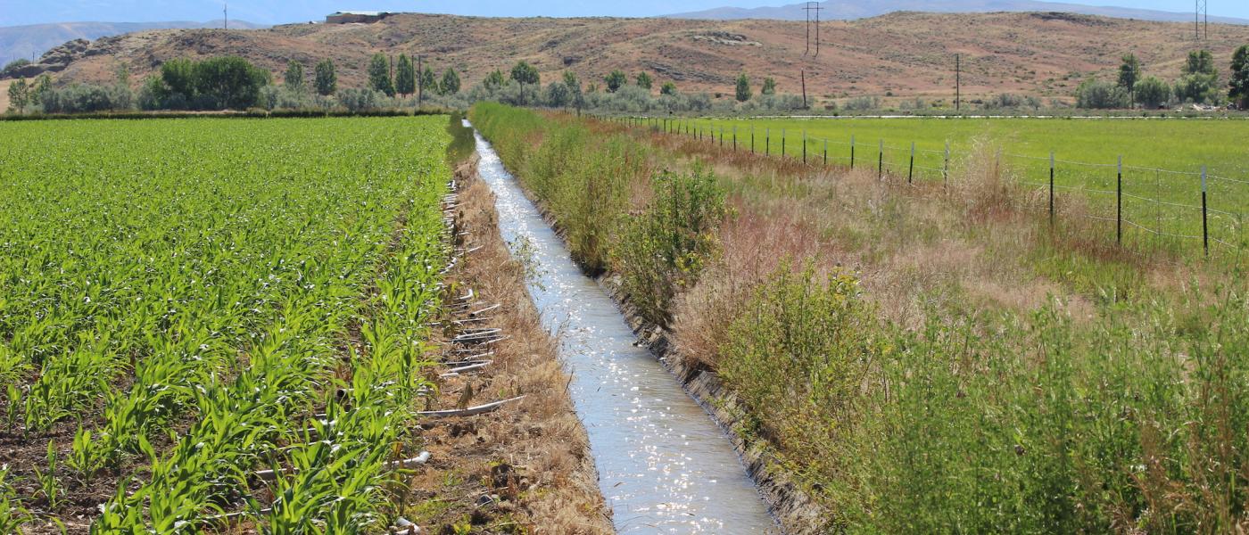
This property is surrounded by some of Wyoming’s most productive farms that historically produce sugar beet, corn, alfalfa, barley, sunflower, and other crop. Irrigation water is provided from water rights from the Roane Canal Enlargement which is part of a network of irrigation systems that are supplied water by the Shoshone River. The Shoshone River draws water from Yellowstone National Park and is a very reliable source of water.
Farm Credit Services of America has offered financing through its home site program with favorable down payment, interest, and amortization terms. Contact Scott Crosby at Powers Land Brokerage to learn more.
The Big Horn Basin is a high desert that lies between the Big Horn Mountains to the east and the Mountains of the Greater Yellowstone area to the West. Near the Montana border, Lovell provides access to unparalleled outdoor recreation.
Contact
PHONE: (307) 217-2777
Site Links
HomeFarm & Ranch Properties
Residential & Recreational Properties
Auctions
Buying & Selling
Panacea
About Us
Contact Us
Disclaimer
Content on this website is for general information only and has been obtained from sources deemed reliable; however, the accuracy of this information is not guaranteed or warranted by Powers Land Brokerage, LLC. Listings are subject to prior sale, price change, correction or withdrawal without notice. Visitors are charged with making and are expected to conduct their own independent investigation of the information provided, directly or indirectly, by this website or Powers Land Brokerage, LLC.