
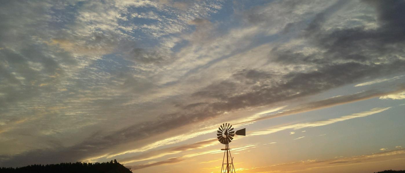
Custer Gallatin Ranch
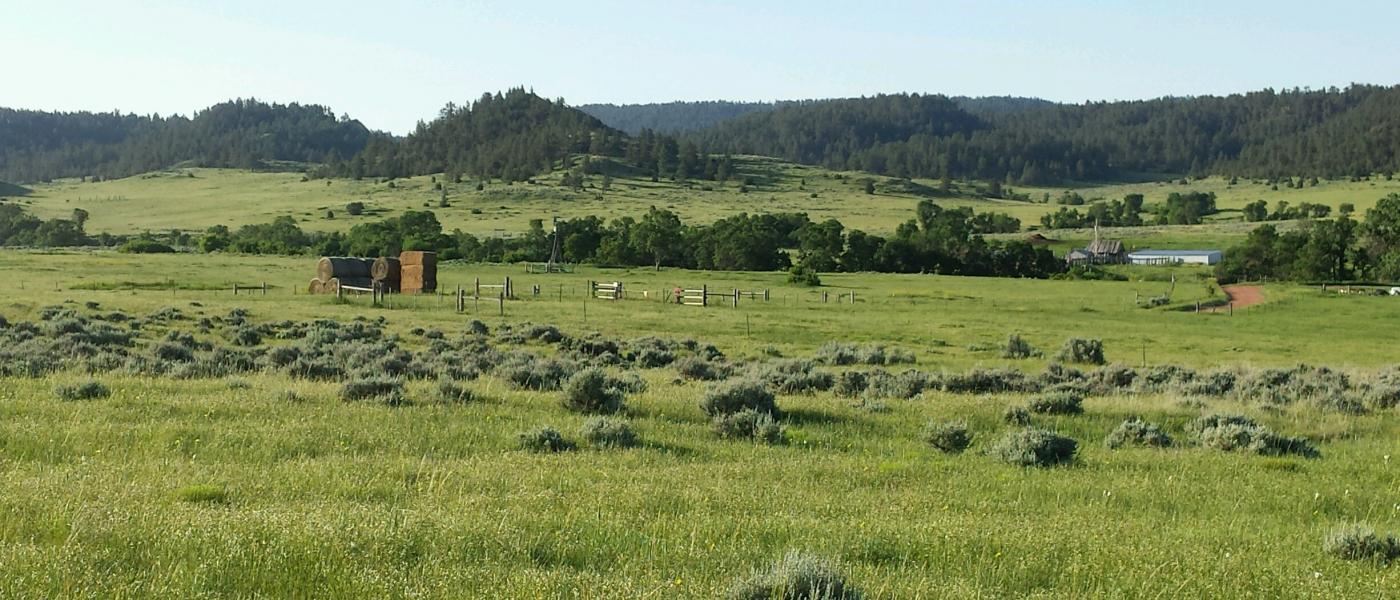
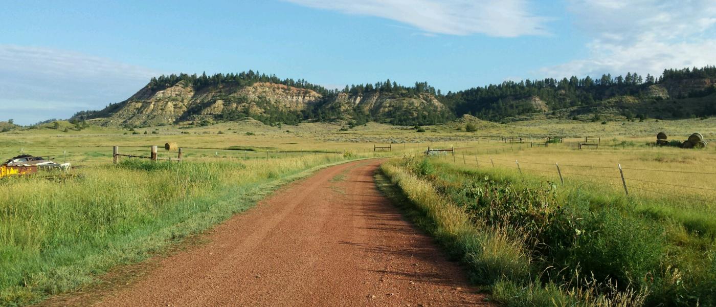
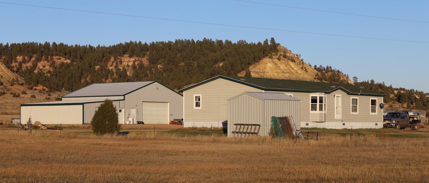
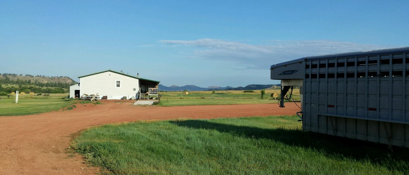
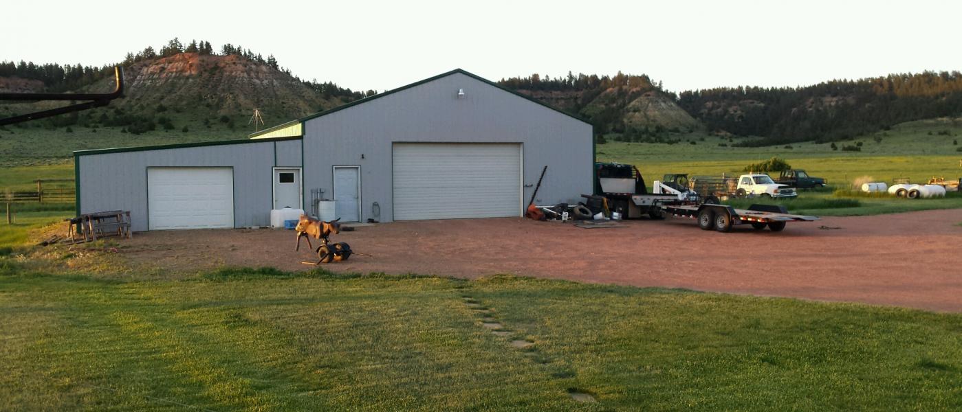
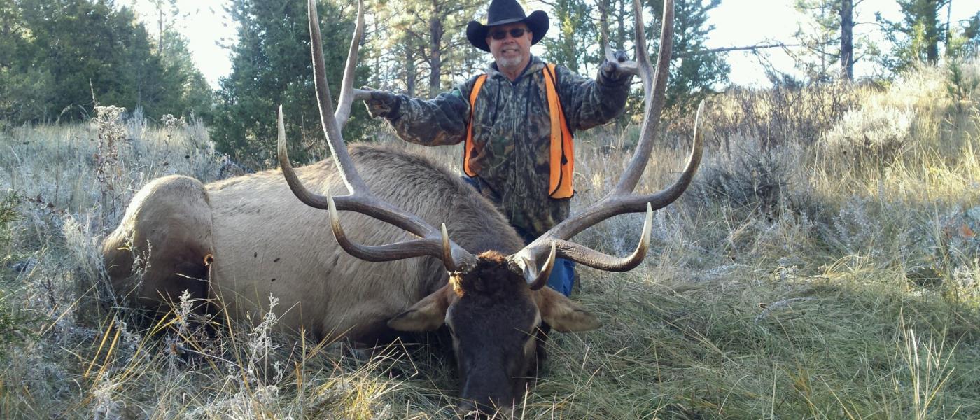
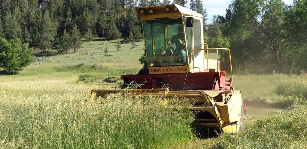
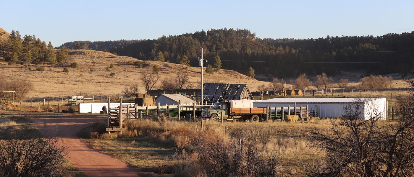
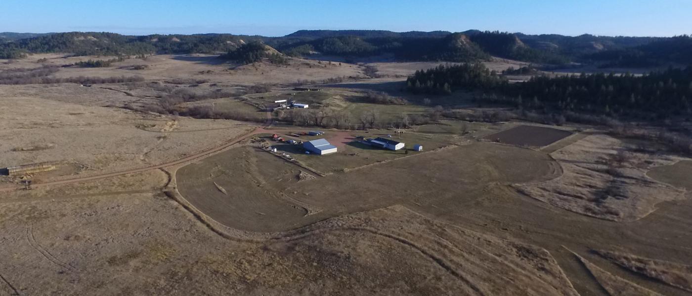
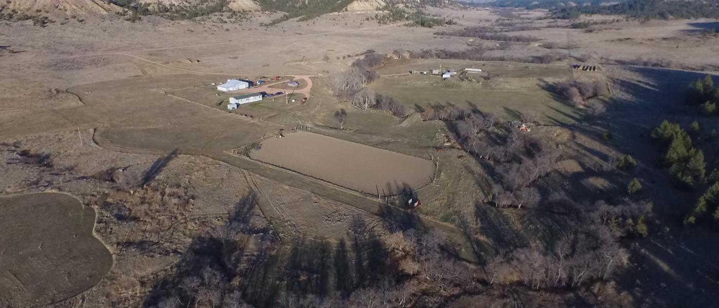
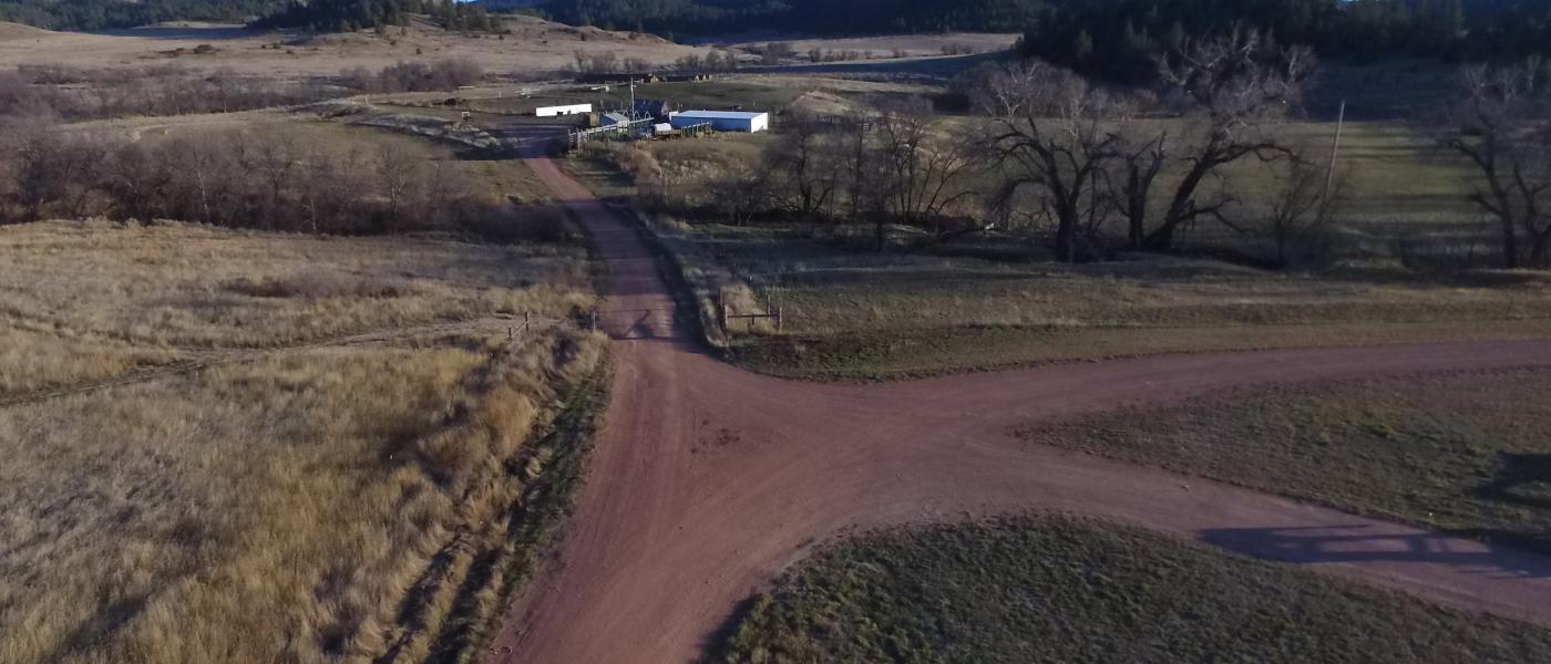
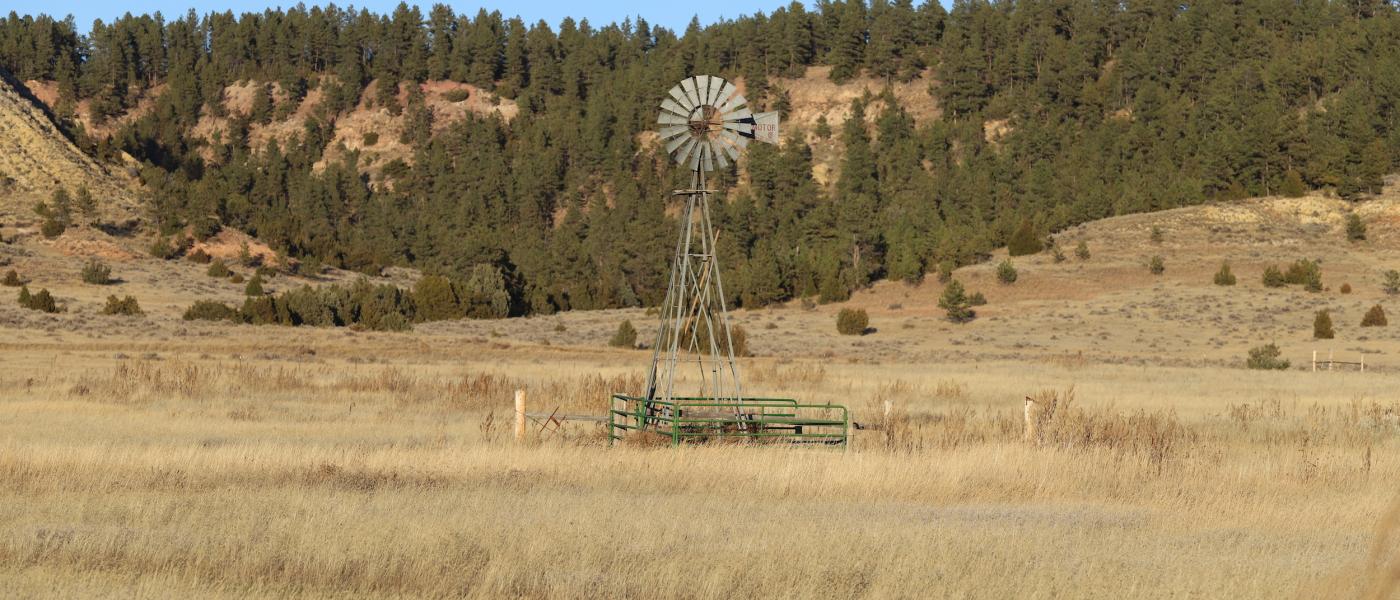
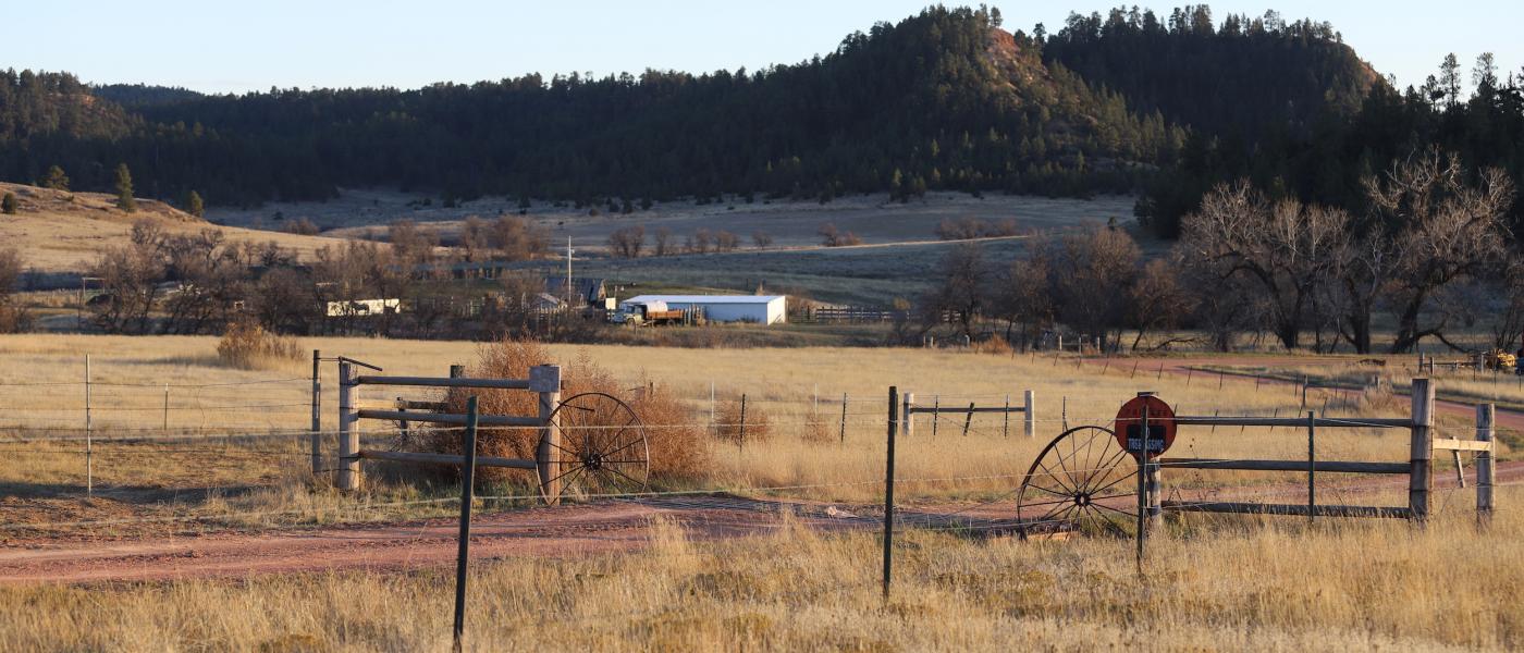
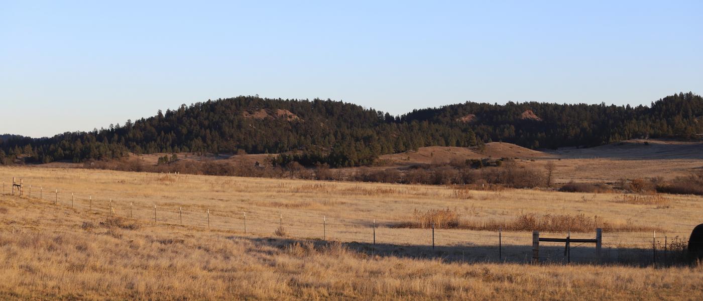
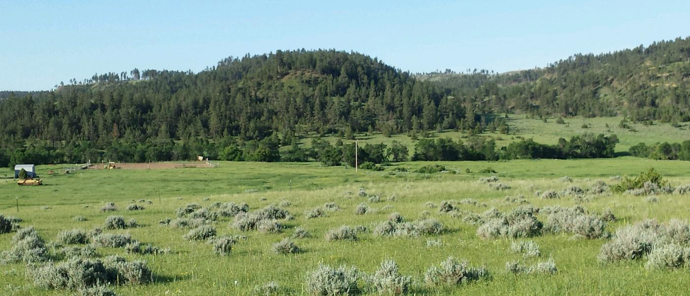
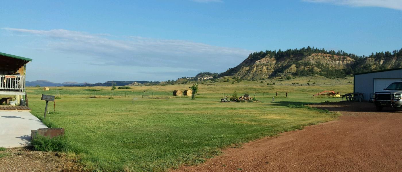
The Goodwin Ranch is located at the confluence of Plum Creek and 10 Mile Creek surrounded by the Custor Gallatin National Forest. Consisting of 160+/- acres of deeded land with an additional 160+/- acres of year to year private lease acres. The 1,780 square foot double wide manufactured home was built in 2003 and has 3 bedrooms and 2 baths with a vaulted open floor plan. The improvements include a 2,400 square foot/12 ft high heated shop, an outdoor riding arena, a loafing shed, and large set of working corrals. The property is served by several stock water wells and a domestic well. The intermittent streams that meander through the property create habitat for wildlife including turkey, deer, and pheasant amongst groves of deciduous trees. The riparian creek bottom also creates productive dryland hay ground that can yield up to 55 large round bales of native and introduced grass hay approximately 1,350 pounds each. The surrounding forrest is one of Montana's unlocked recreational playgrounds that offer 350-400 class bull elk and other outdoor activities in the Ponderosa Pine and Juniper landscape.
Contact
PHONE: (307) 217-2777
Site Links
HomeFarm & Ranch Properties
Residential & Recreational Properties
Auctions
Buying & Selling
Panacea
About Us
Contact Us
Disclaimer
Content on this website is for general information only and has been obtained from sources deemed reliable; however, the accuracy of this information is not guaranteed or warranted by Powers Land Brokerage, LLC. Listings are subject to prior sale, price change, correction or withdrawal without notice. Visitors are charged with making and are expected to conduct their own independent investigation of the information provided, directly or indirectly, by this website or Powers Land Brokerage, LLC.