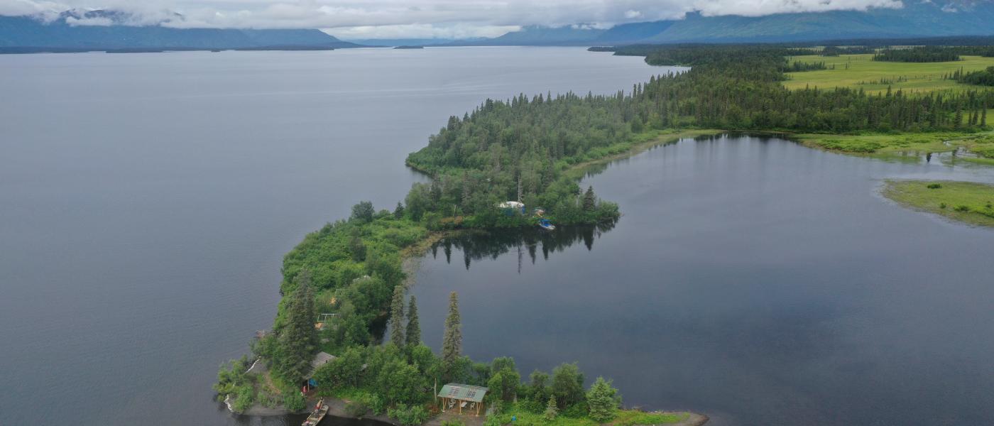
Iris Point
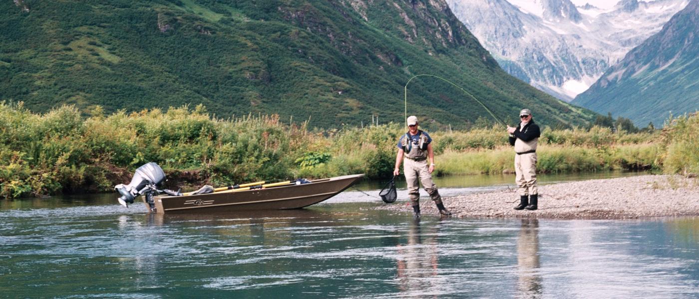
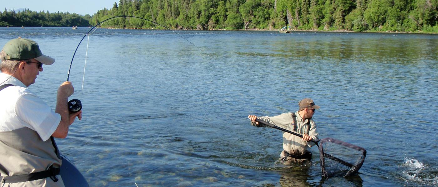
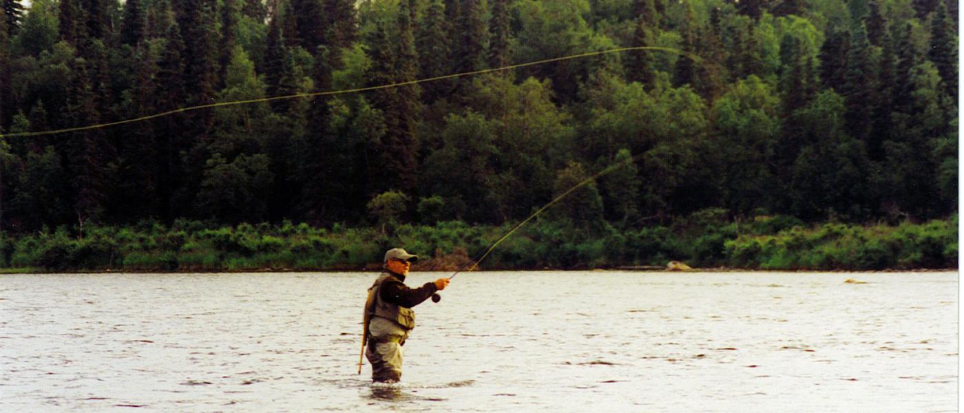
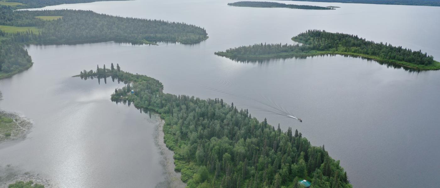
Iris Point is an 80 acre (79.98 acres) private inholding located in the heart of the Wood-Tikchik State Park in the Bristol Bay region of Southwest Alaska. Ideally located just down the shore from the outlet of the world famous Agulukpak River which holds one of the highest concentrations of Rainbow Trout in the state of Alaska. These waters is home to a large population of Rainbows, Char, Grayling, Pike and height of summer millions of Sockeye Salmon. Truly a fly fishers paradise.
Iris Point is ideally situated with a boat and float plane basin for a world-class lodge or spectacular family retreat. This is a true wilderness property encompassed by the Wood Tikchik State Park and Upper Nerka Lake.
Location
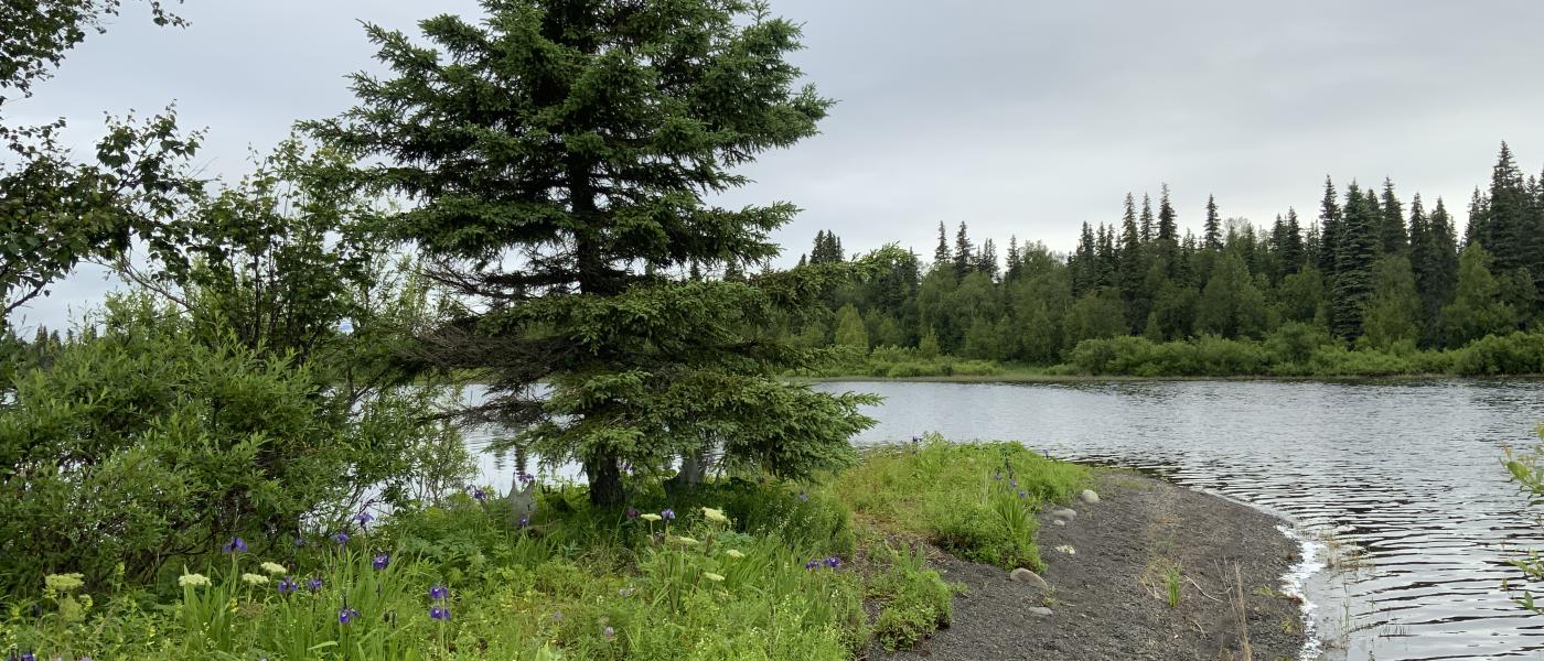
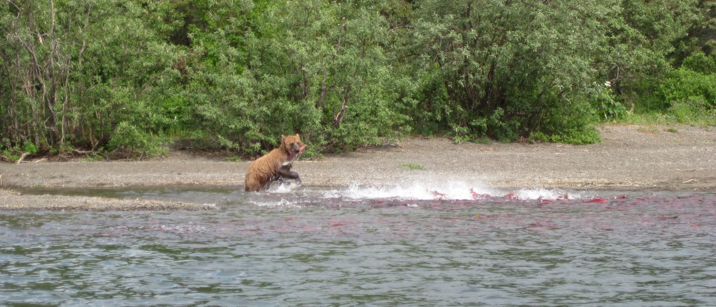
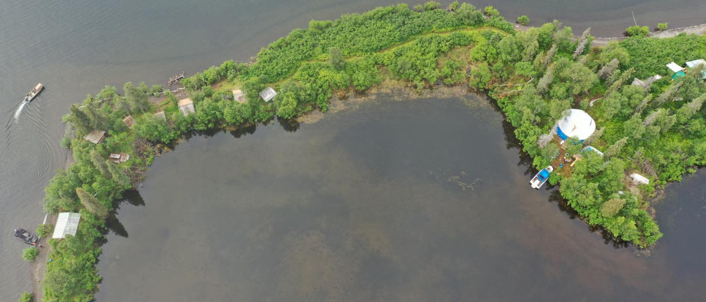
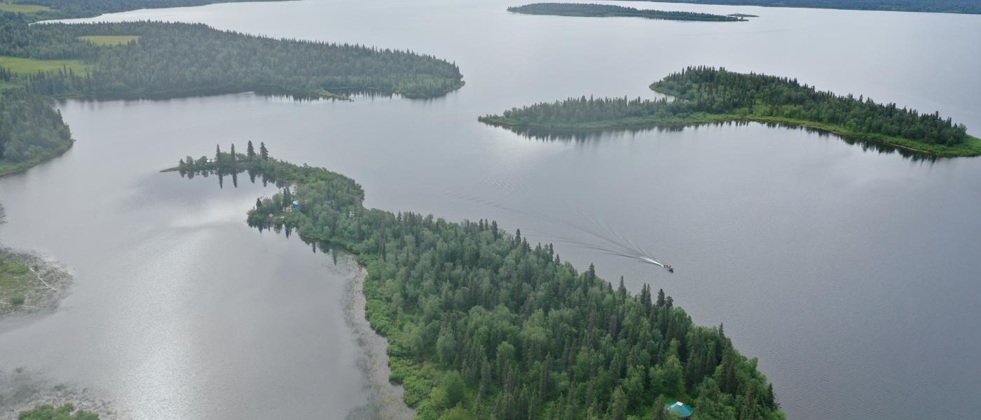
Surrounded by 1.6 million acres of the largest state park is one the regions most ideal land formations Iris Point. Iris Point’s unique location and geographic features are truly remarkable. A peninsula surrounding a lagoon abundant with Pike, Moose, and Bear. Just off-shore is a protective island providing more shelter for calm water. There are only a few in-holdings that you will find in the park, eighty acres is unheard of.
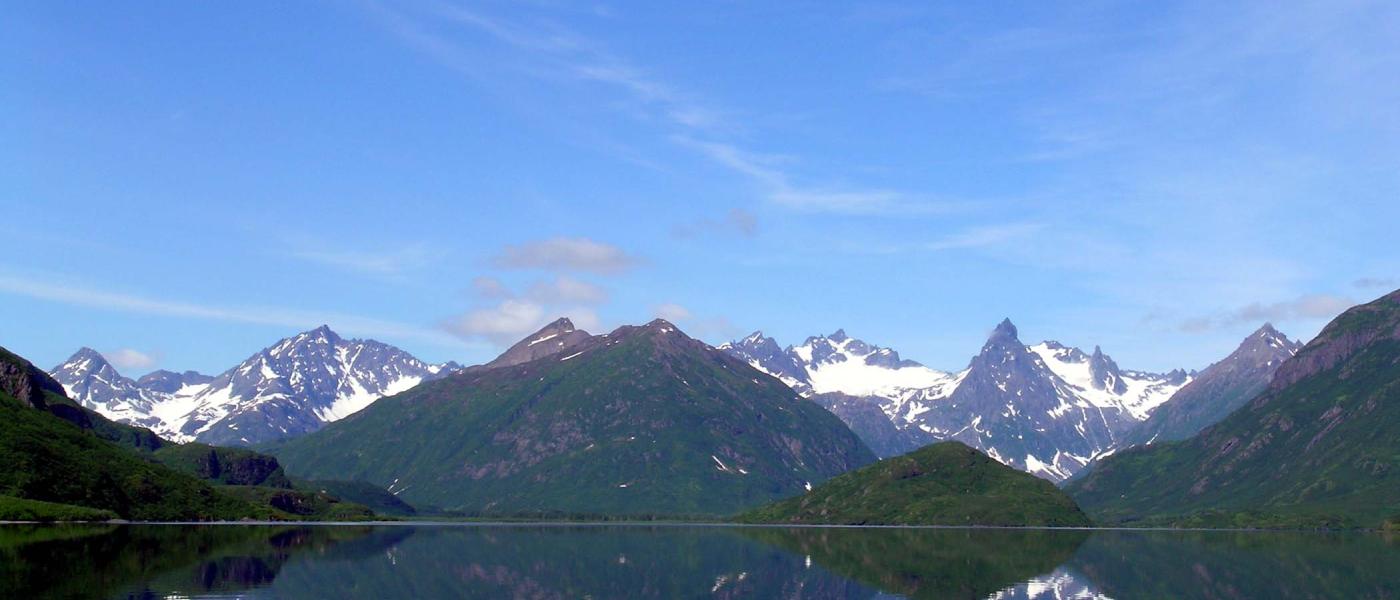
When stepping foot on Iris Point you will be overcome by the fjord like mountains and the most legendary rivers known in the Bristol Bay Region of Alaska. Endless lake shoreline supplied water by countless streams and mountain valleys make this what is arguably the most untouched places left in the world.
Fishing
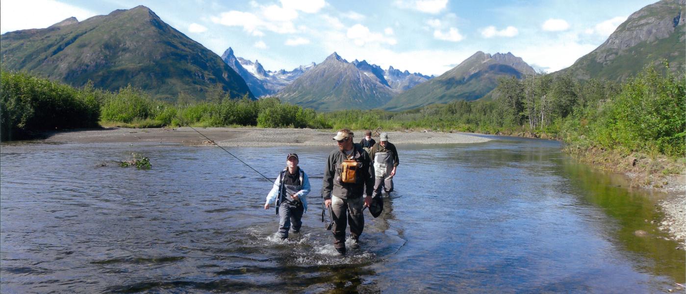
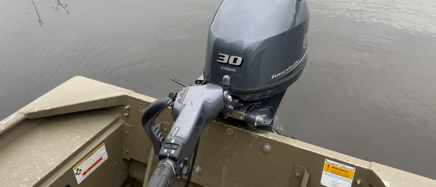
At the heart of this prolific ecosystem is the salmon which bring back from the ocean a biomass of nutrients that creates a baseline for a diverse food chain for world class trout and mind-boggling bear density. What makes Iris Point incredibility special for fishing is that it is within a 5 minute skiff ride to the Agulapak River, world famous for its Rainbow Trout Fishery, that never fails to disappoint. Being so close allows you to access the morning and evening hours which coincide the hatch with fishable hours absent of other lodges’ clients who must fly-in to access.
Wildlife
If you are a resident or not, you will not have to rely on the odds of you pulling a tag since most tags are either registration or already covered on your hunting license. It doesn’t matter if you hunt with a riffle of a camera, you have found what you have been looking for.
Infrastructure
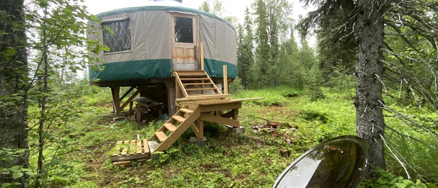
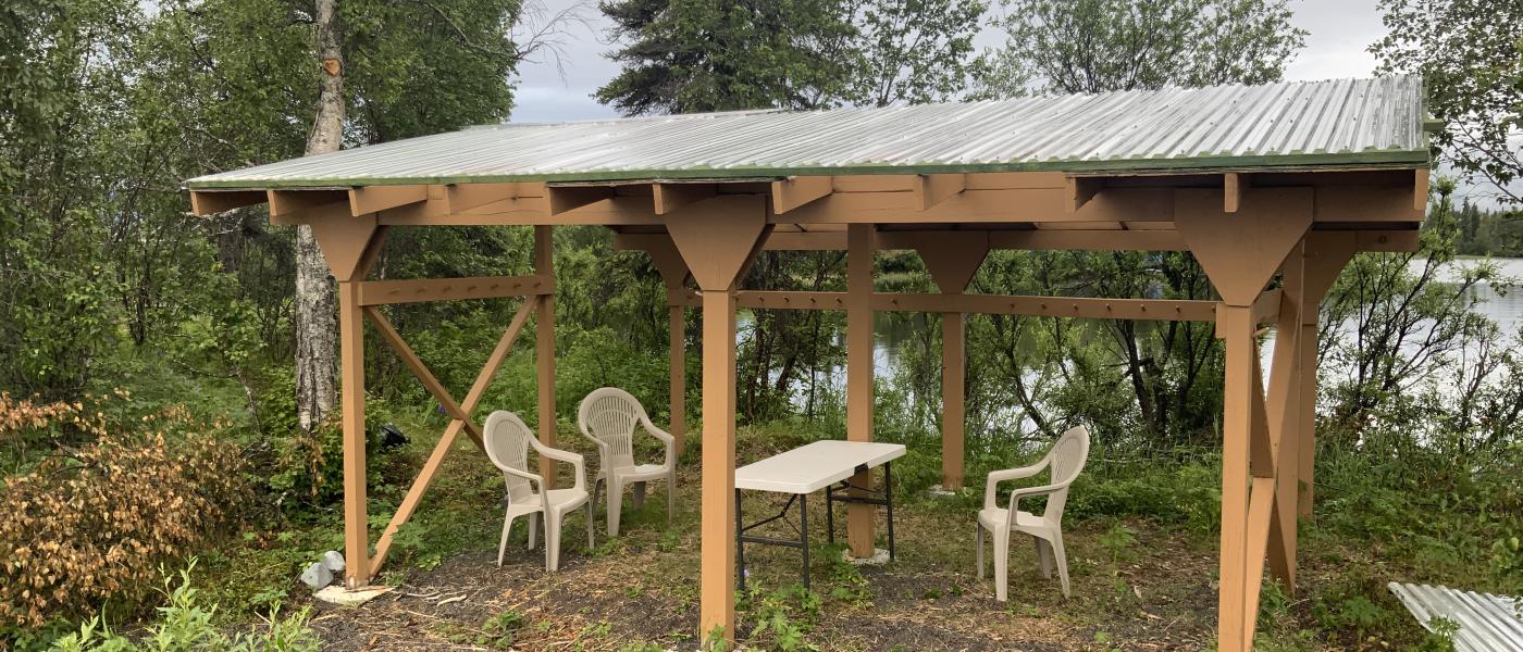
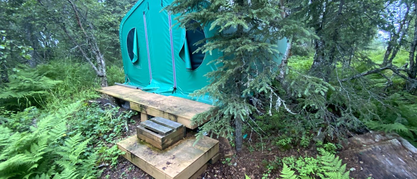
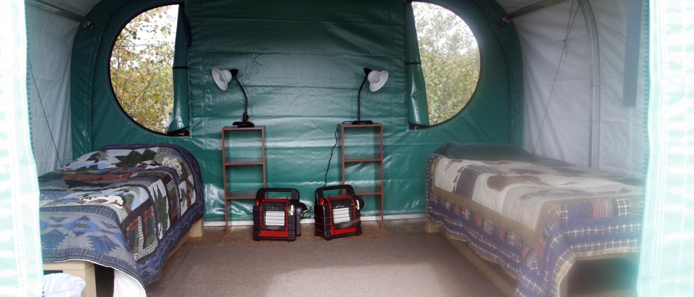
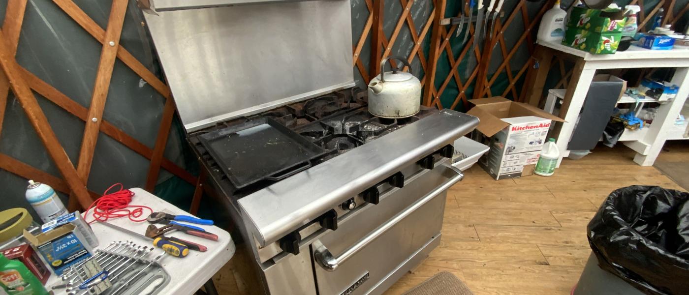
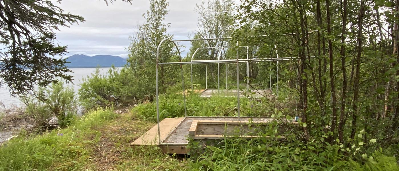
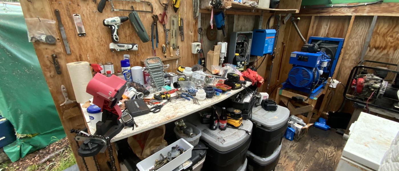
The offering includes yurt and Weatherport structures as well as several small boats so you can either start your own business as it was operated a decade ago or create this into your one of a kind family gathering place. Iris Point was once a yurt and Weatherport fly fishing business until the business was closed in 2012 and used as a private retreat. Some of the improvements includes platforms for Weatherport tents, a potable water system, composting toilets, and diesel generation with underground electric supply.
Brokers Comments:
There are only a few places left on this earth that offer you the ability to be truly in touch with nature and will be protected till the end of time. A truly remarkable gathering place for your family, friends, and clients that will create unforgettable memories of the world once was.
Contact
PHONE: (307) 217-2777
Site Links
HomeFarm & Ranch Properties
Residential & Recreational Properties
Auctions
Buying & Selling
Panacea
About Us
Contact Us
Disclaimer
Content on this website is for general information only and has been obtained from sources deemed reliable; however, the accuracy of this information is not guaranteed or warranted by Powers Land Brokerage, LLC. Listings are subject to prior sale, price change, correction or withdrawal without notice. Visitors are charged with making and are expected to conduct their own independent investigation of the information provided, directly or indirectly, by this website or Powers Land Brokerage, LLC.