Lazy RS Ranch East Unit
1,428 +/- Deeded Acres
240 +/- Acres BLM Lease
320 +/- Acres of Hay Fields
4 Fenced Pastures
8 Stock Water Tanks
4 Artesian Wells
2 1/2 +/- Miles of Frost-Free Stock Water Pipeline
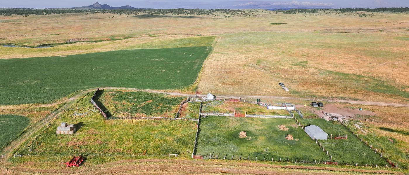
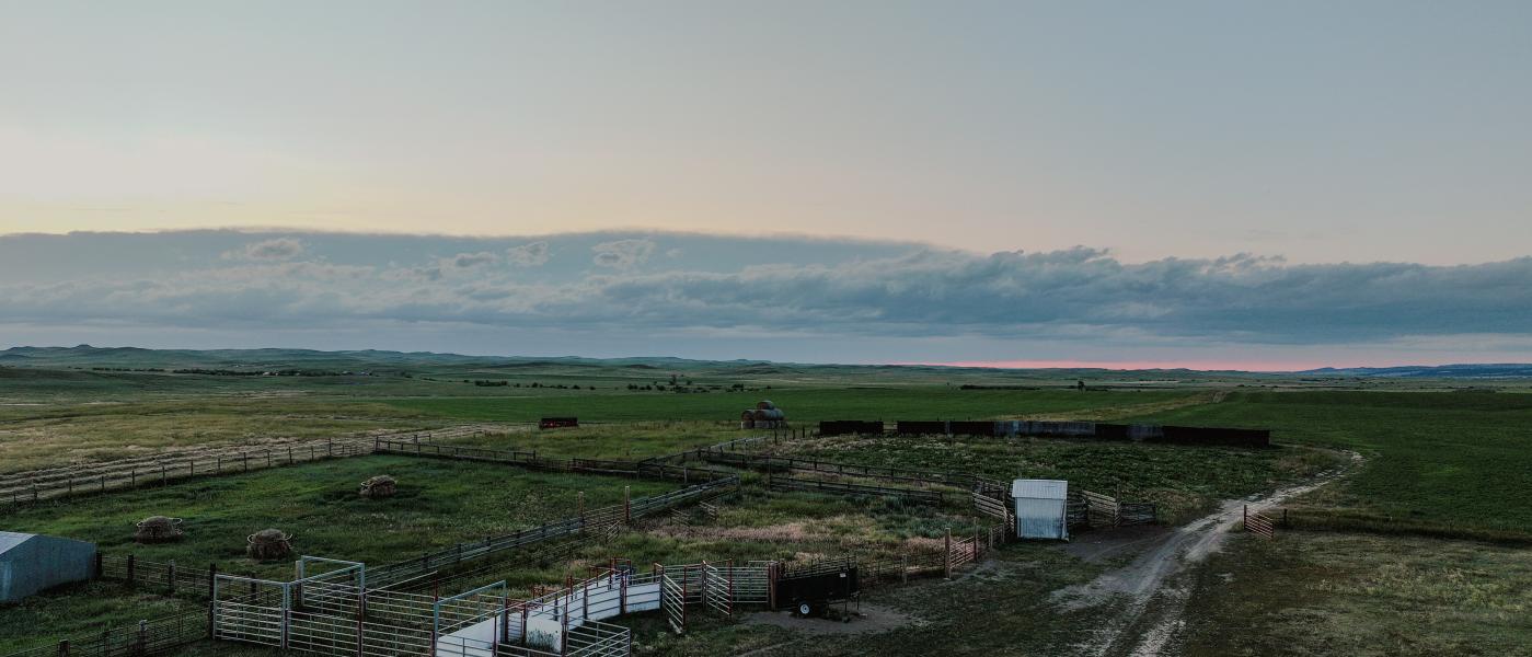
Working Set of Corrals
Contiguous to over 5,000 Acres of State and BLM Lands
Excellent Recreational Opportunities
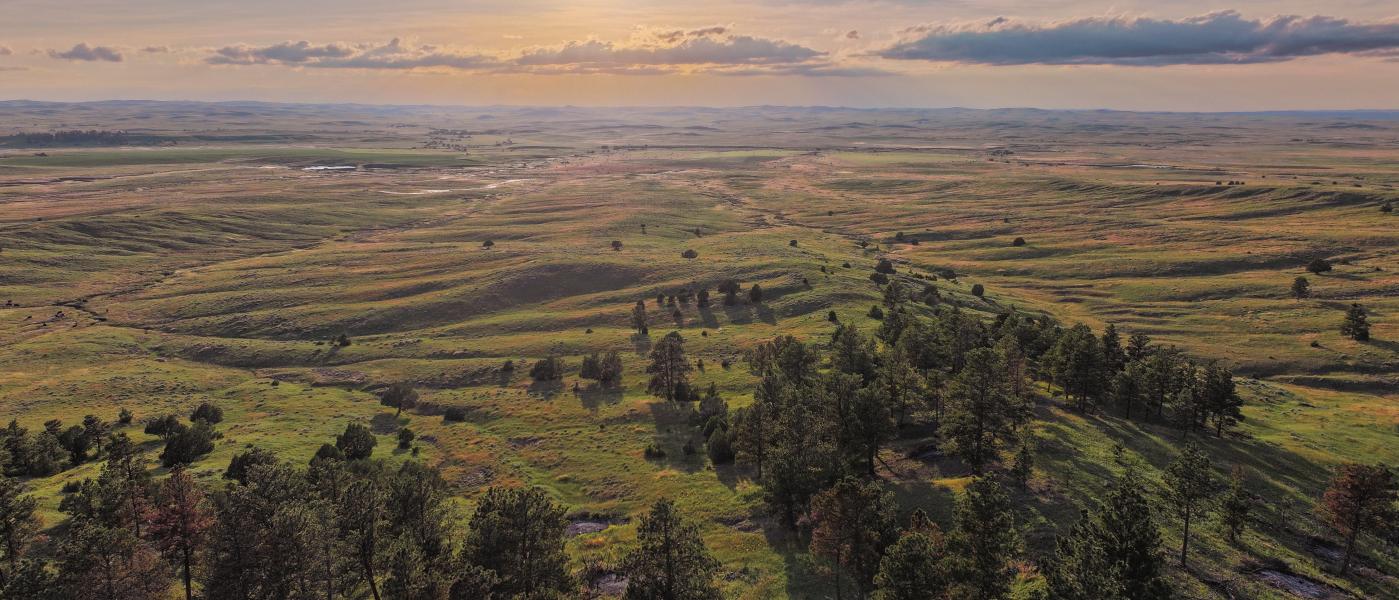
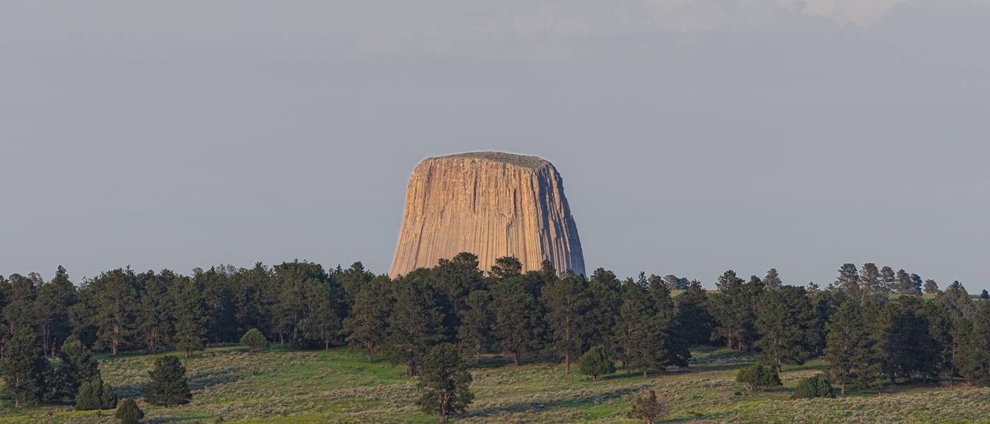
Encompassing 1,428 +/- Deeded Acres with an additional 240 +/- acres of BLM Grazing Lease, The Lazy RS Ranch is both a well-balanced working cattle ranch and recreational hunting property. Located in Northeastern Wyoming, the ranch is uniquely positioned where the Great Plains dissolve into the Black Hills. Just west of Devil's Tower and not far from Gillette, Wyoming or Spearfish, South Dakota, excellent county roads provide easy access to local state highways and Interstate 90. A short drive from Northeast Wyoming Regional Airport, or Rapid City Regional Airport, the ranch is easy to access whether flying commercial or private.
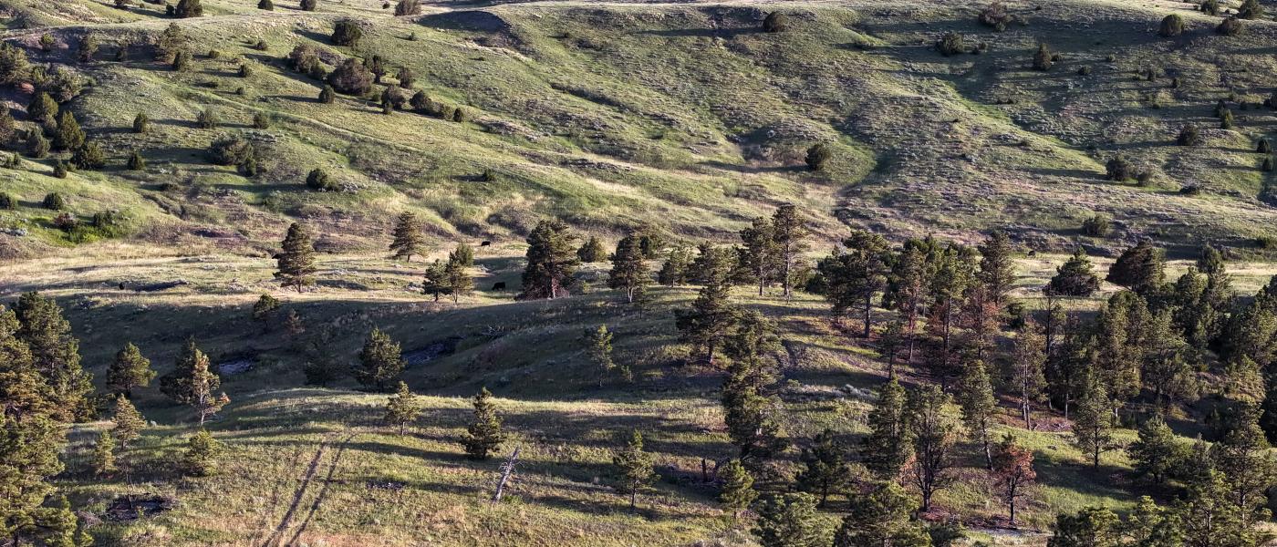
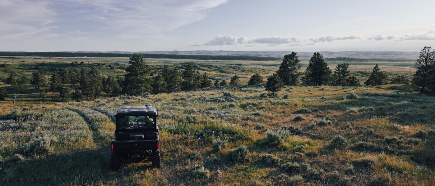
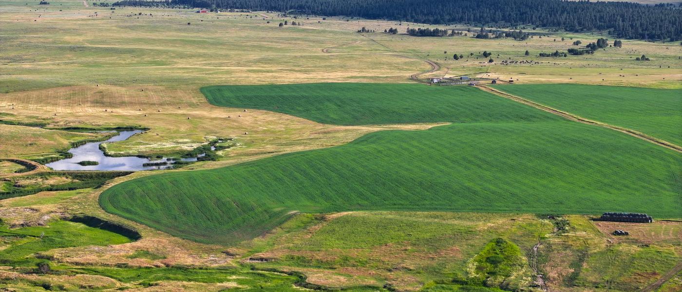
The ranch features a working set of corrals near the entrance and four distinct pastures allowing for functional and easy movement of cattle for both grazing and shipping. A well-maintained network of interior ranch roads allows for convenient access to check cows, fences, water, and mineral tubs.
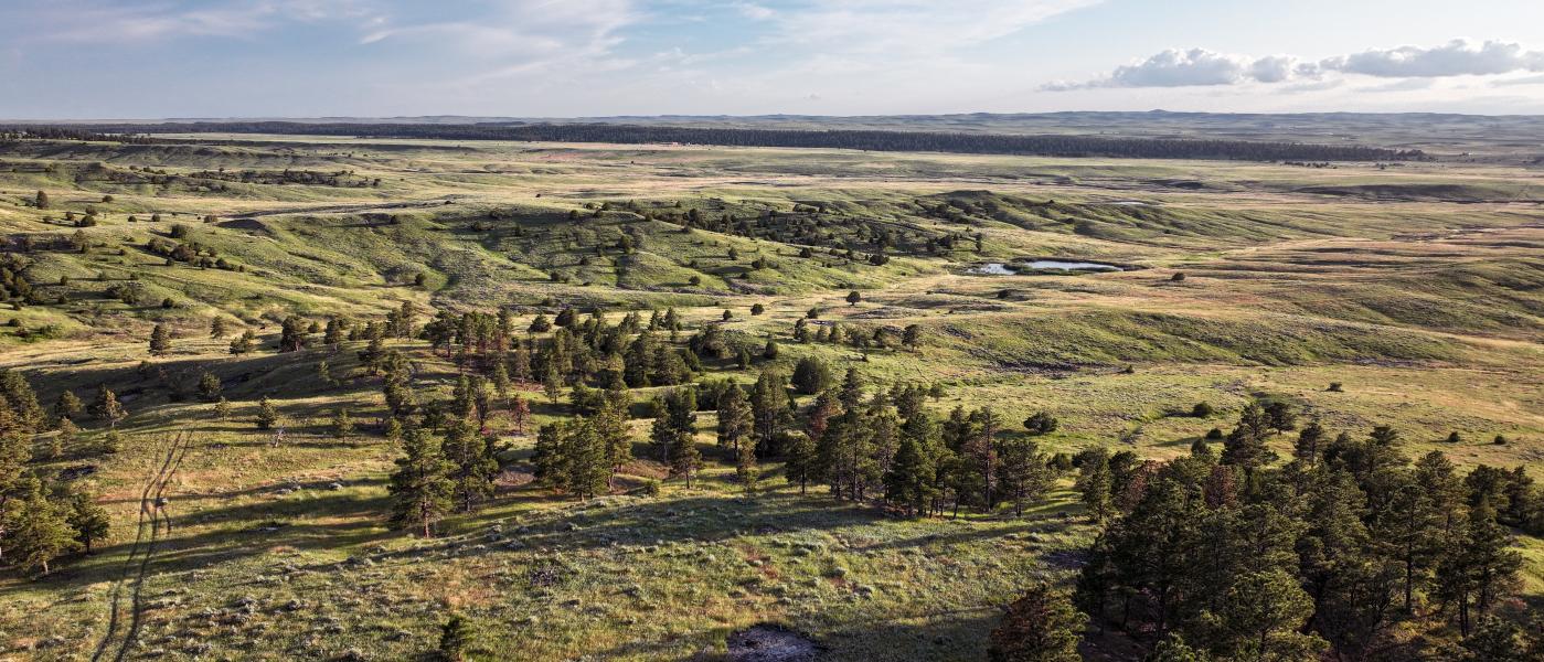
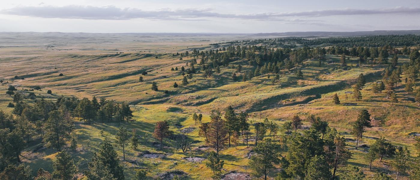
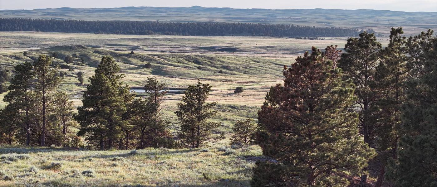
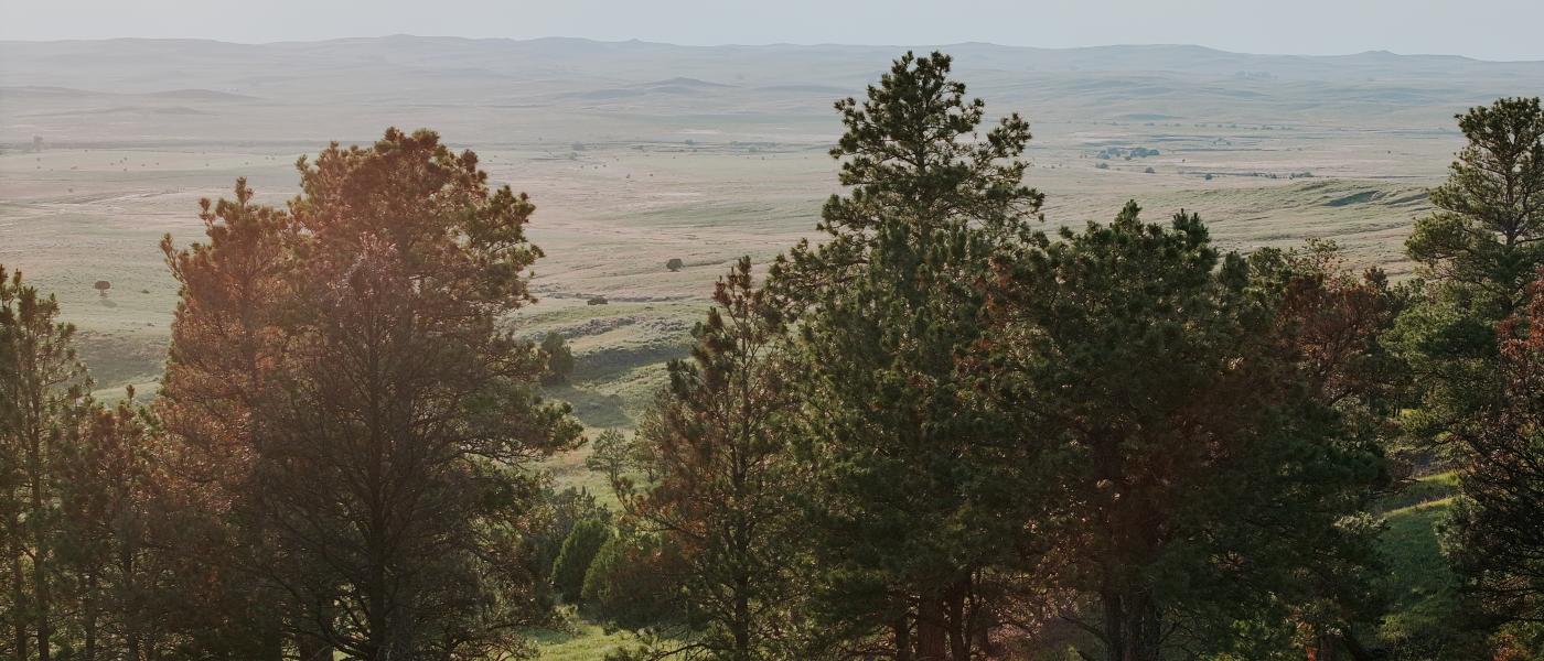
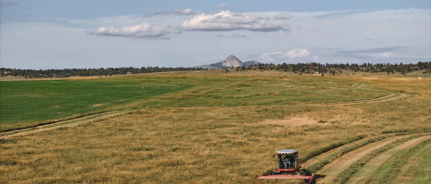
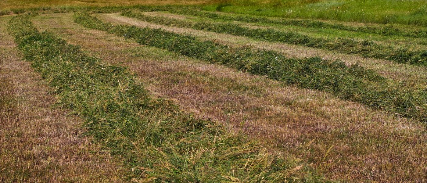
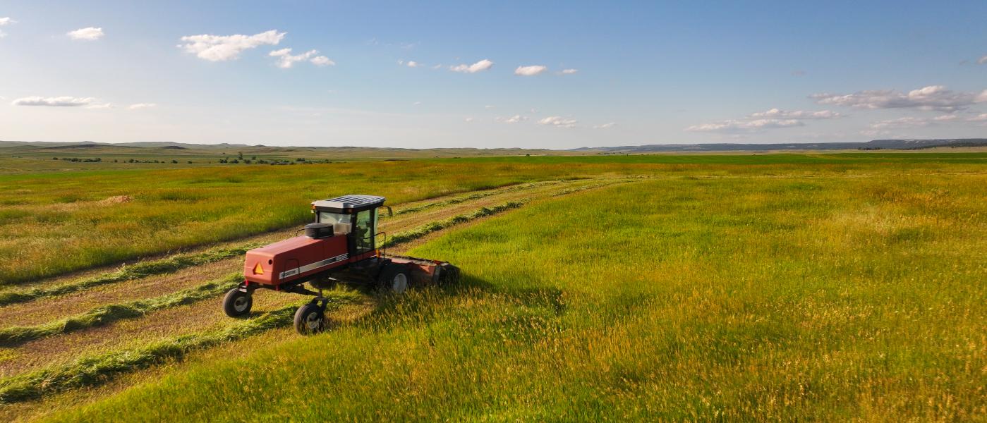
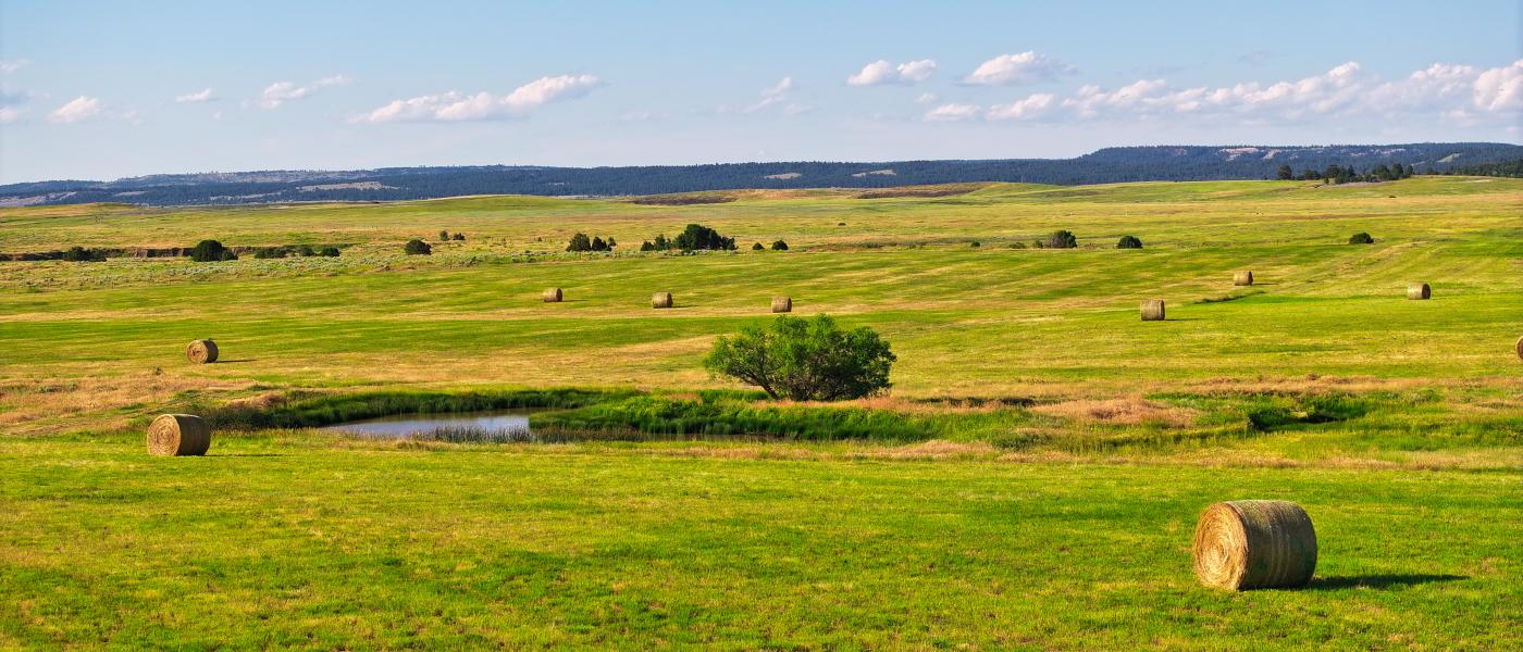
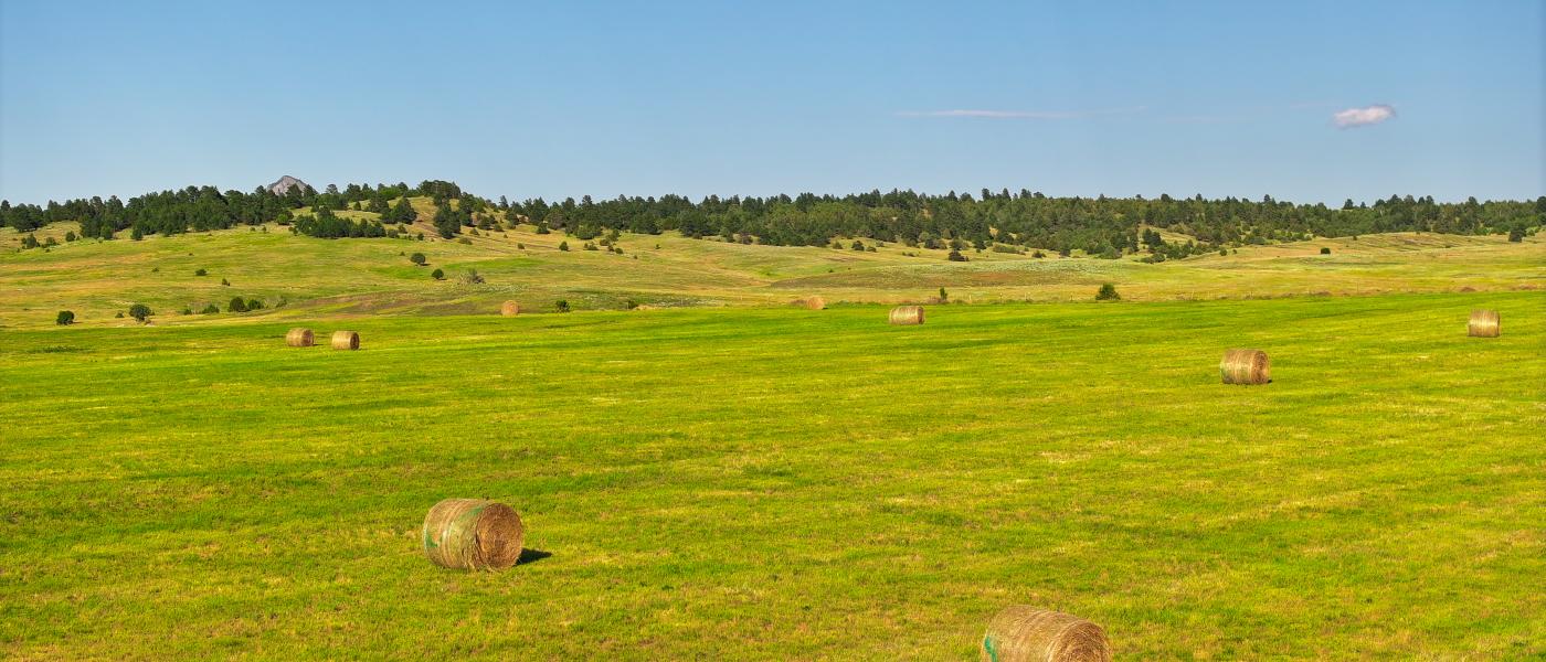
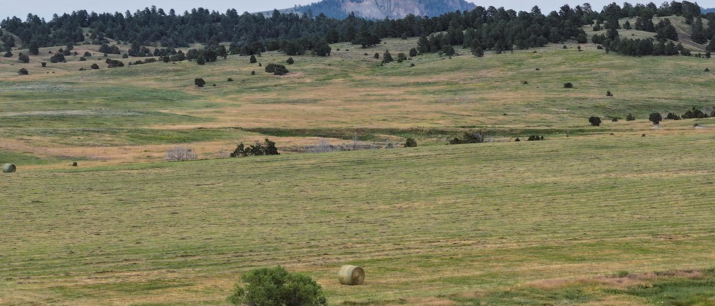
Historically healthy and abundant forage gives the area its reputation for putting exceptional gains on cattle. In addition to productive rangeland, the ranch features 320 +/- acres of improved hay meadows, often producing a productive single cutting of hay yielding nearly 1 ton per acre. The owners let these meadows rest for a period of time before grazing them during the late summer and fall months.
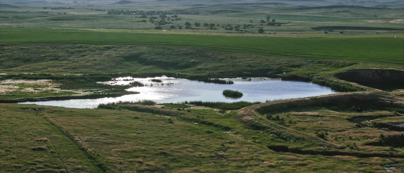
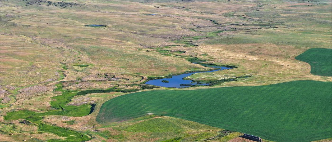
The ranch is very well watered and features four stock reservoirs which typically hold water year-round. In addition, four artisan wells supply constant water to the 2 1/2 miles of pipeline which provide water to 8 stock water tanks. There is also a 2,900-gallon cistern connected to the stock water pipeline. The pipeline is frost-free and buried approximately 6'-8' feet below the surface. It’s hard to find a spot on the ranch where cattle or wildlife have to walk very far for reliable year-round water.
The recreational opportunities on the ranch and nearby State and BLM lands are plentiful. The heavily timbered draws, healthy sagebrush habitat, and lush hayfields allow the local wildlife to easily find food and refuge. Elk, Mule Deer, Antelope, Turkeys, and Sharptail Grouse thrive on the ranch and throughout the area. Sagebrush and a mix of cool and warm season grasses grow where the timber does not, which is the ideal mix of habitat capable feeding both cattle and wildlife year-round. Low hunting pressure in the area, moderate elevations, and hundreds of square miles of virtually unpopulated country are contributing factors to the abundance and quality of game animals the region is known for.
Contact
PHONE: (307) 217-2777
Site Links
HomeFarm & Ranch Properties
Residential & Recreational Properties
Auctions
Buying & Selling
Panacea
About Us
Contact Us
Disclaimer
Content on this website is for general information only and has been obtained from sources deemed reliable; however, the accuracy of this information is not guaranteed or warranted by Powers Land Brokerage, LLC. Listings are subject to prior sale, price change, correction or withdrawal without notice. Visitors are charged with making and are expected to conduct their own independent investigation of the information provided, directly or indirectly, by this website or Powers Land Brokerage, LLC.