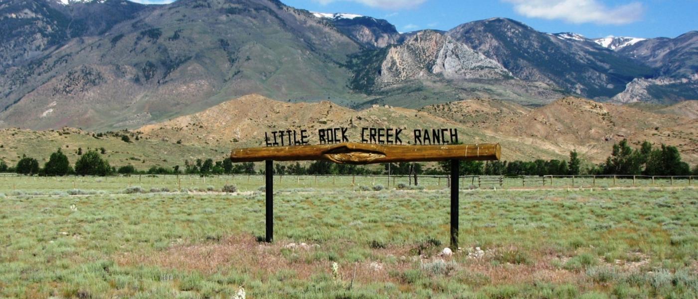
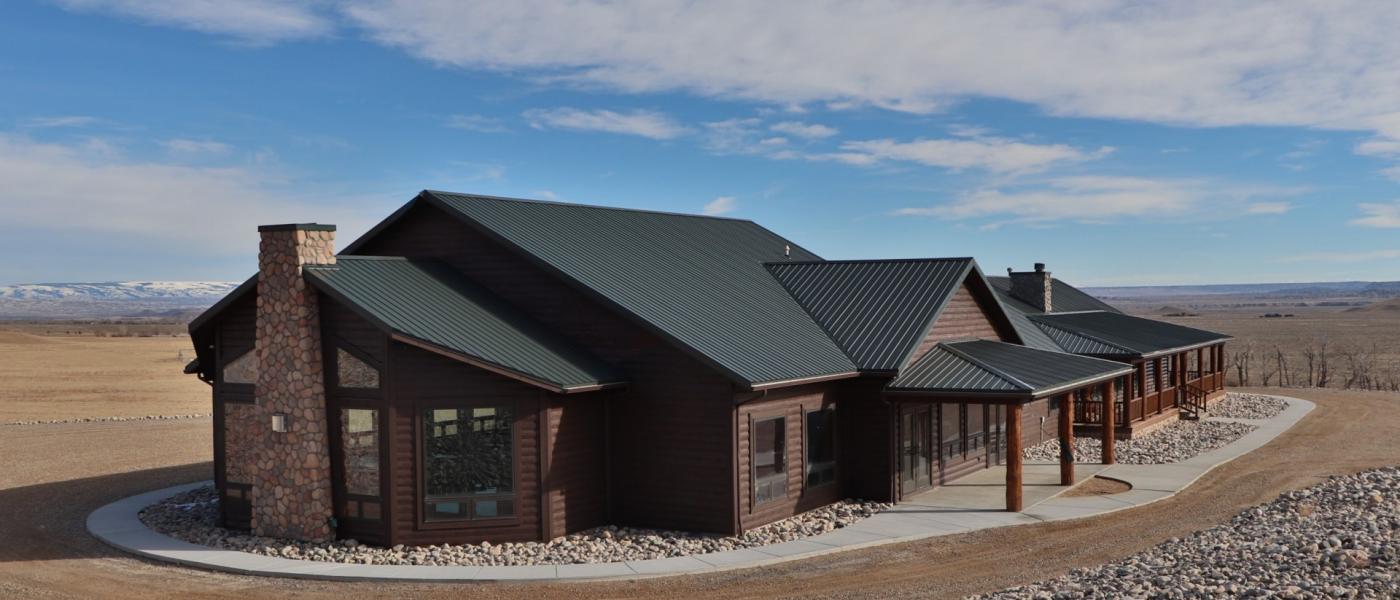
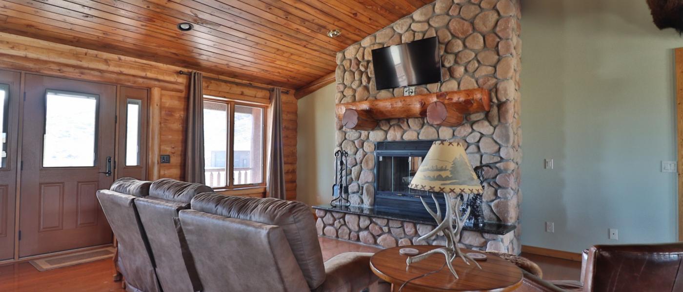
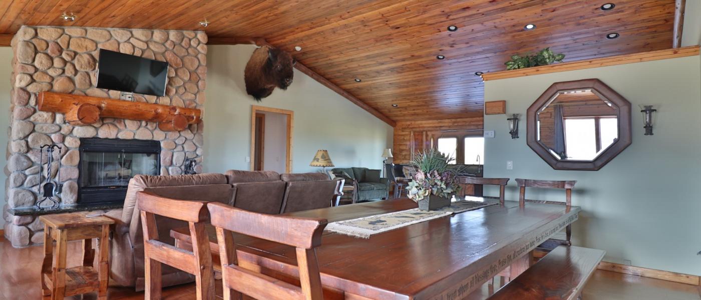
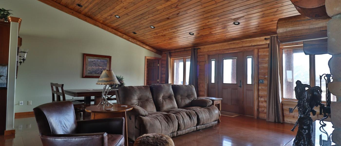
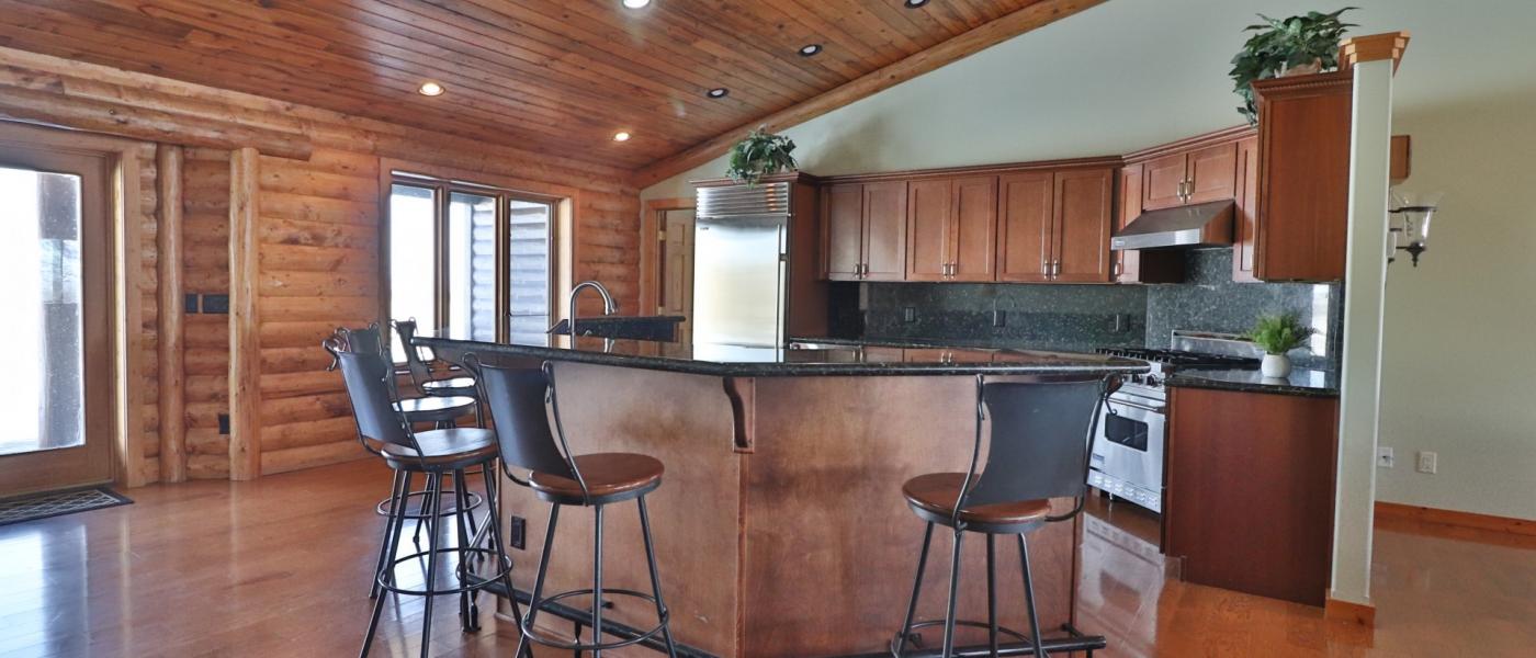
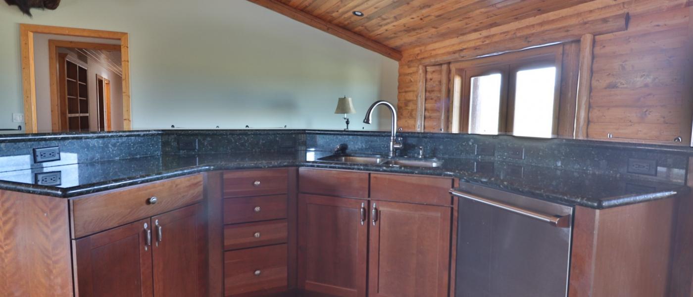
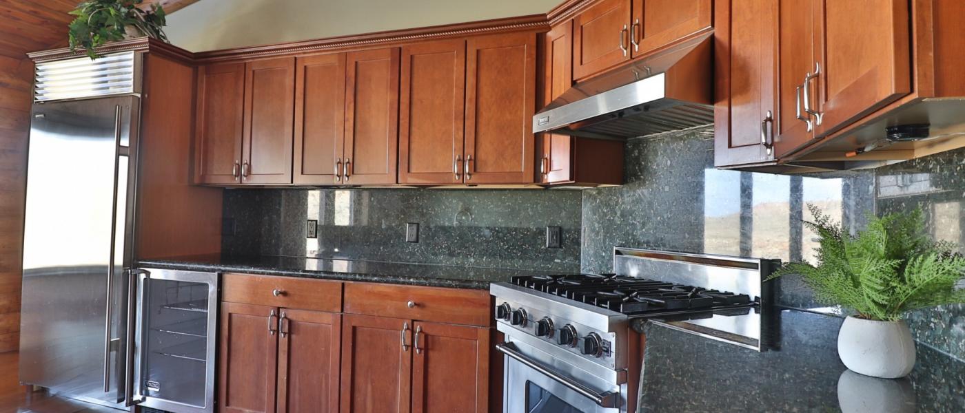
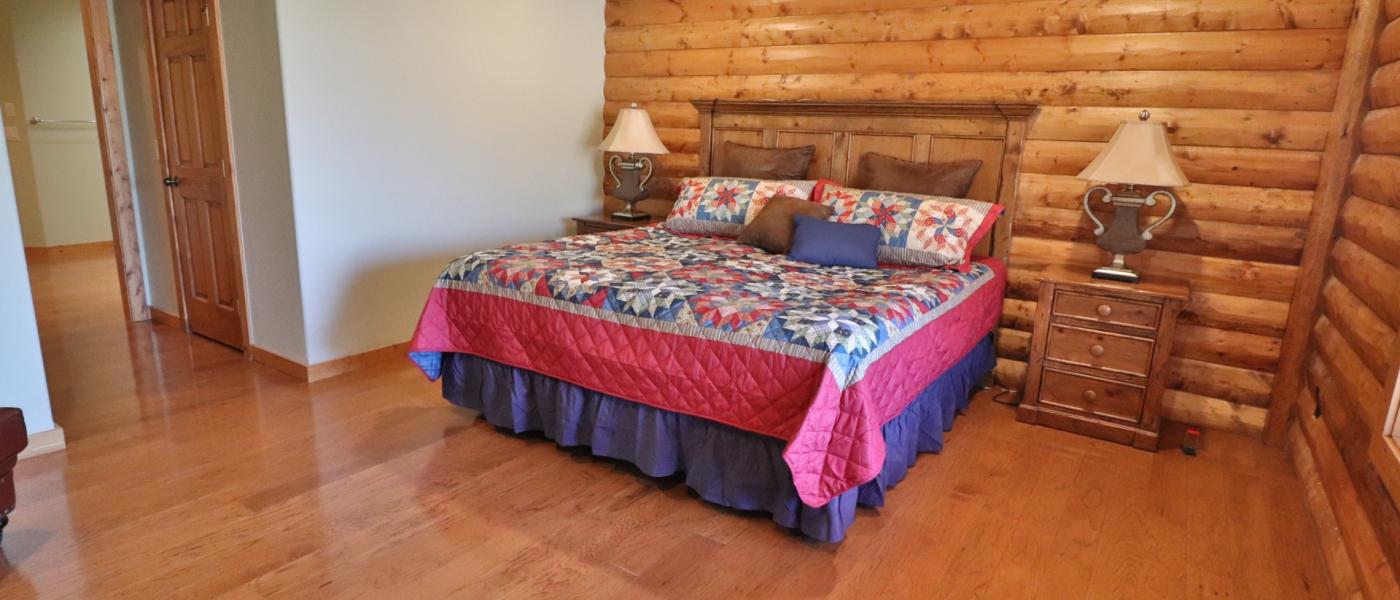
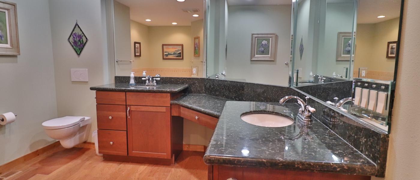
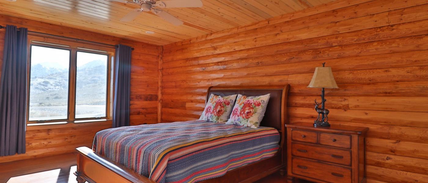
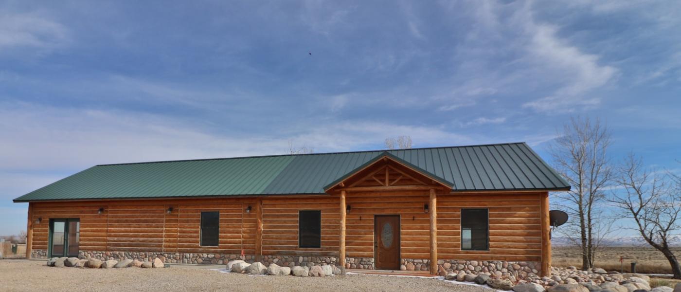
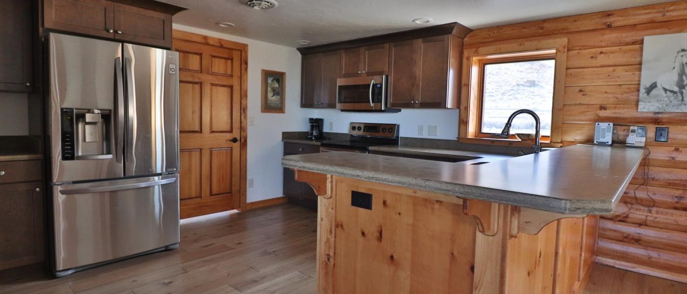
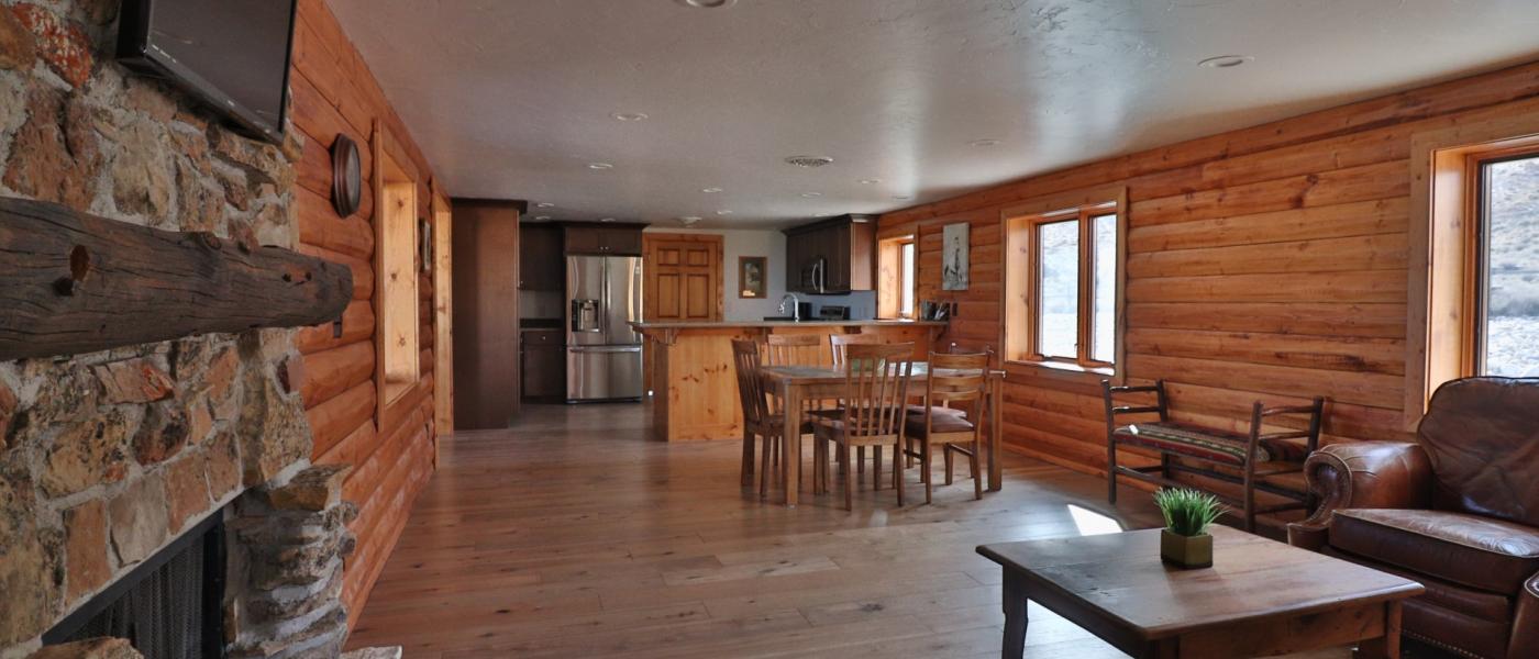
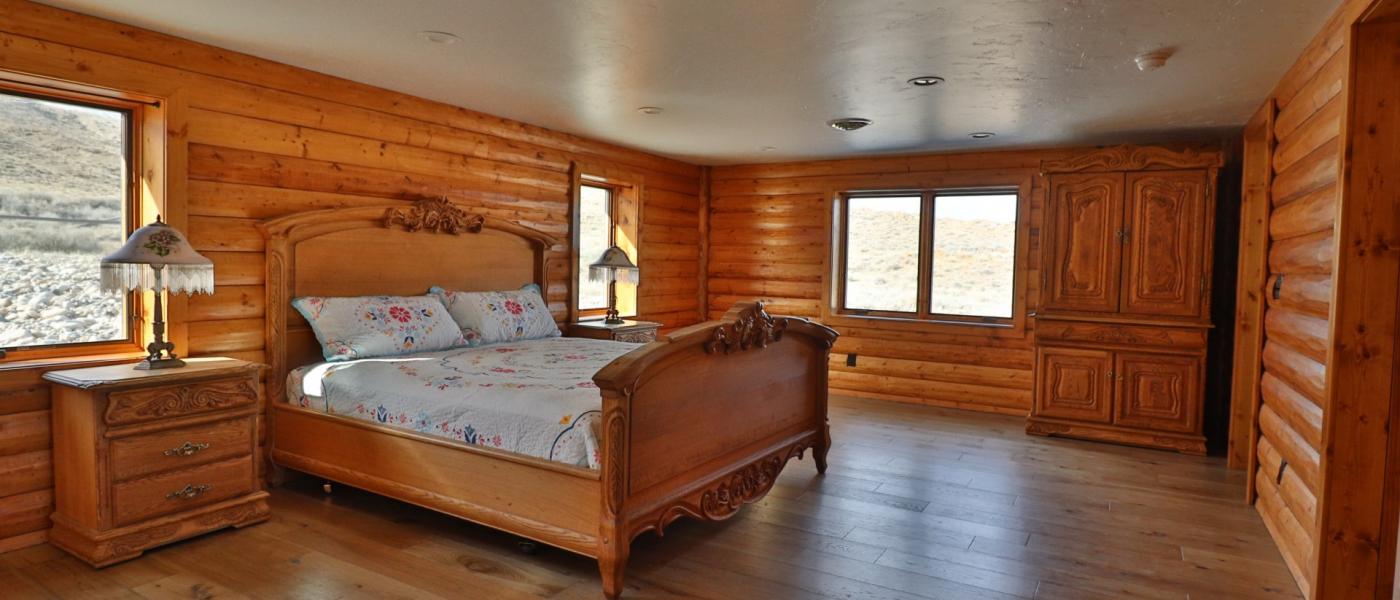
Little Rock Creek Ranch
Brochure is not currently available for this property.
POWERS LAND BROKERAGE REPRESENTED THE BUYER ON THIS LISTING BY CANYON REAL ESTATE. THANK YOU RITA FOR A GREAT TRANSACTION
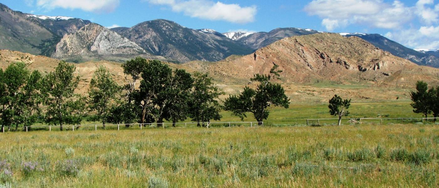
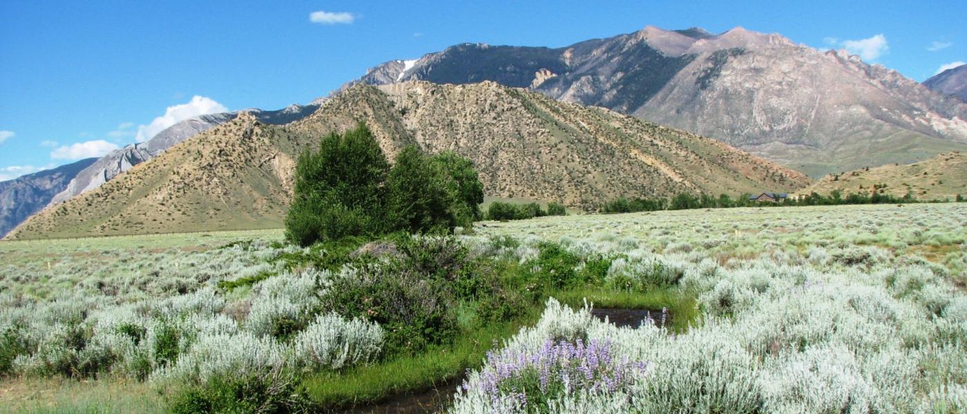
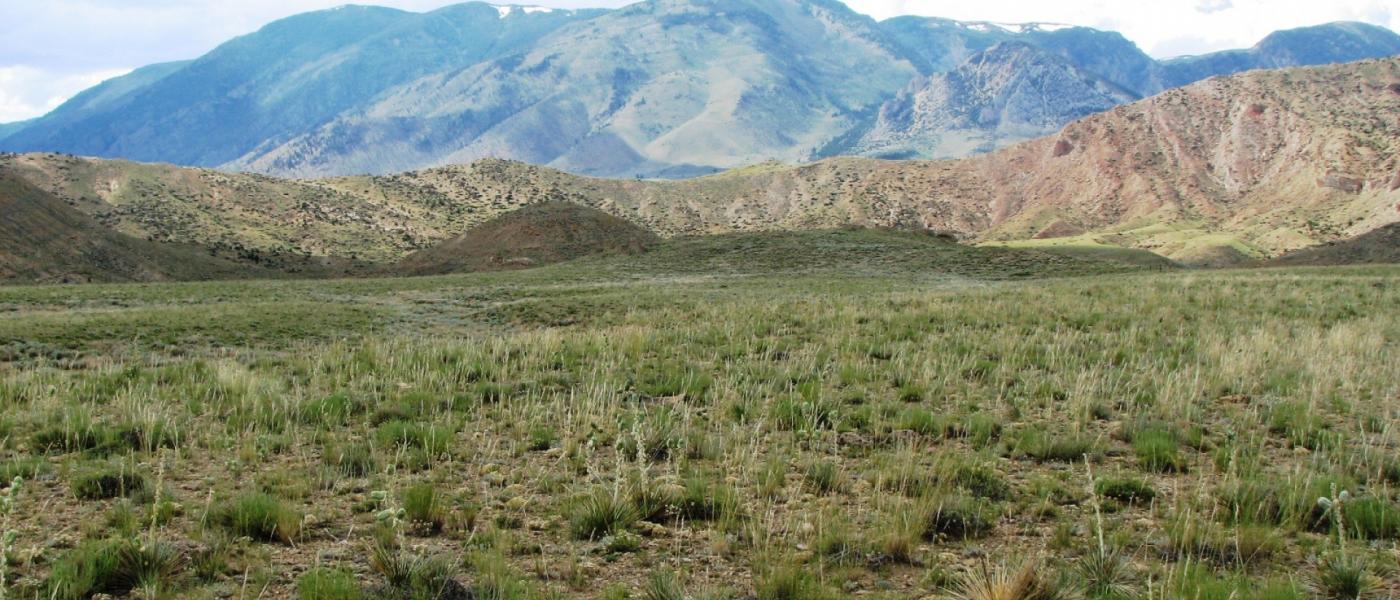
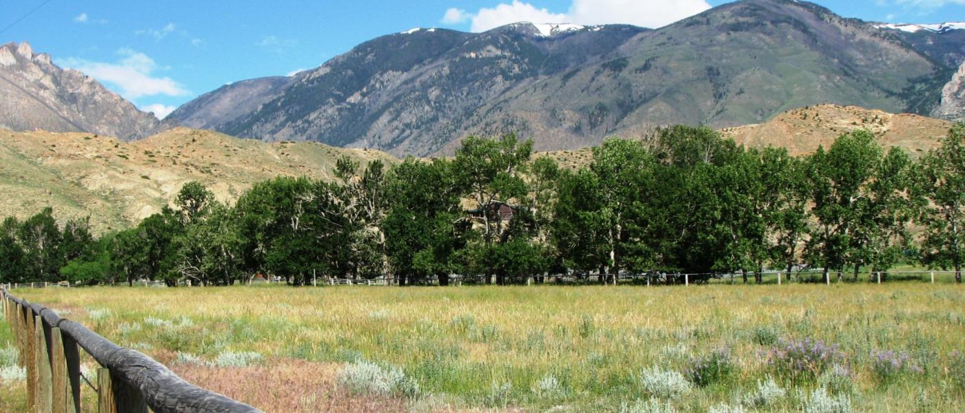
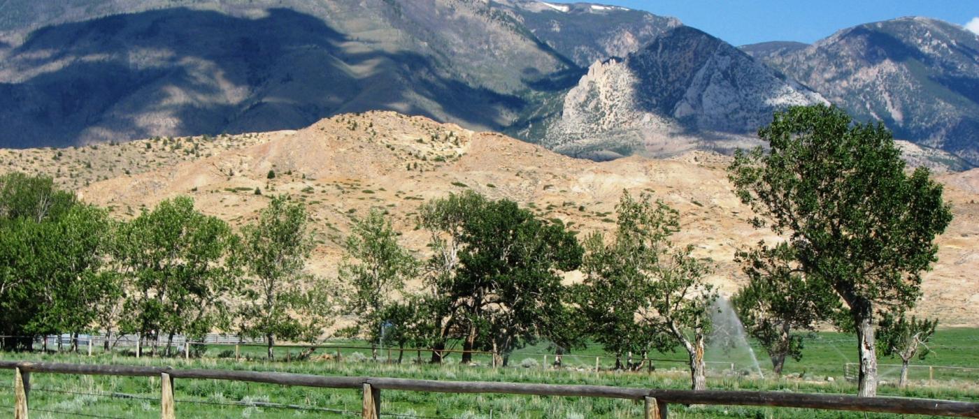
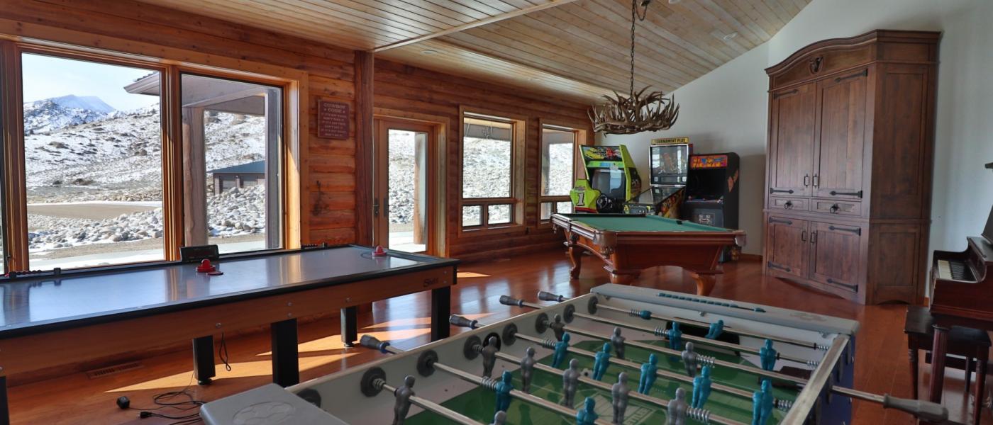
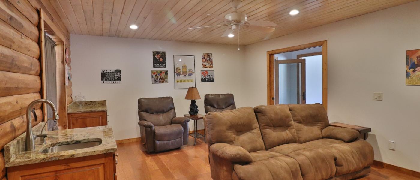
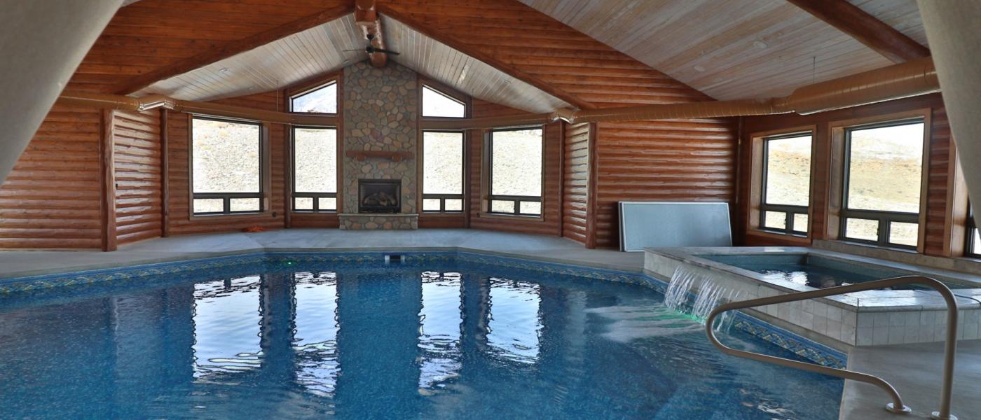
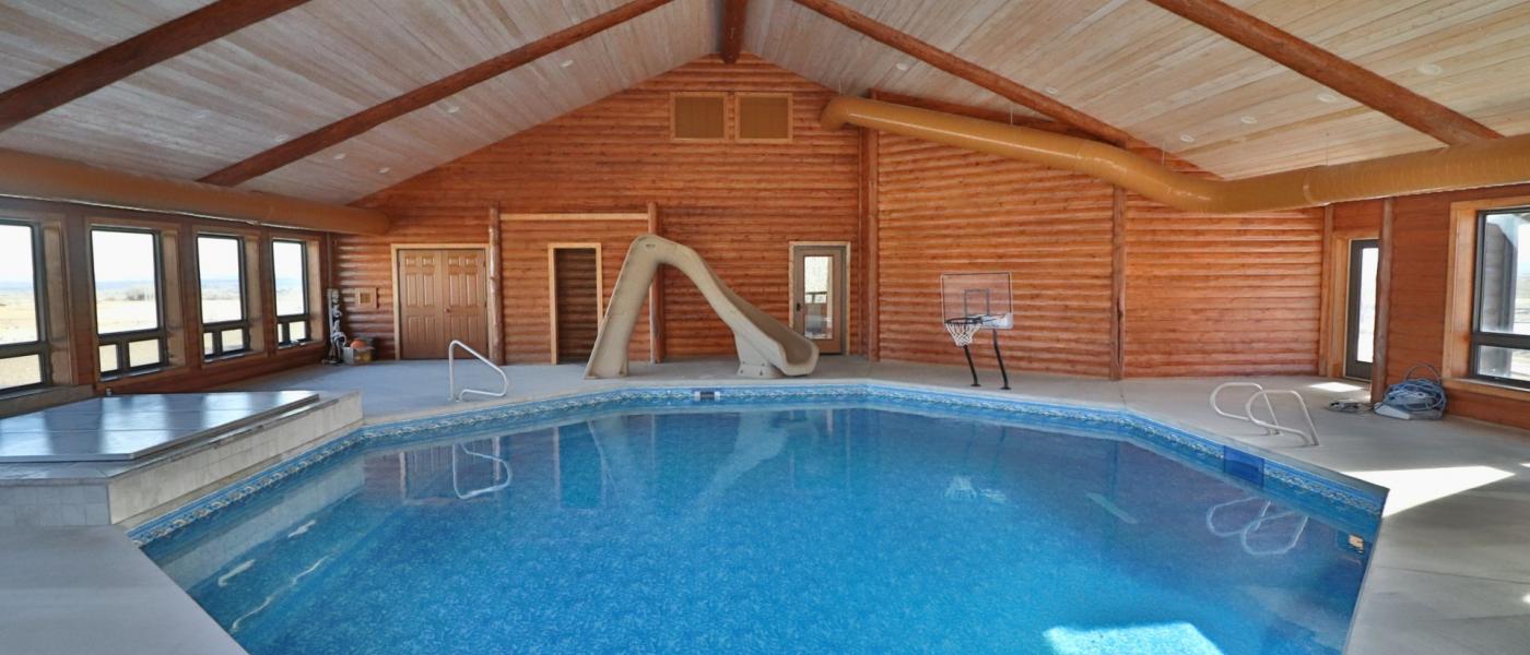
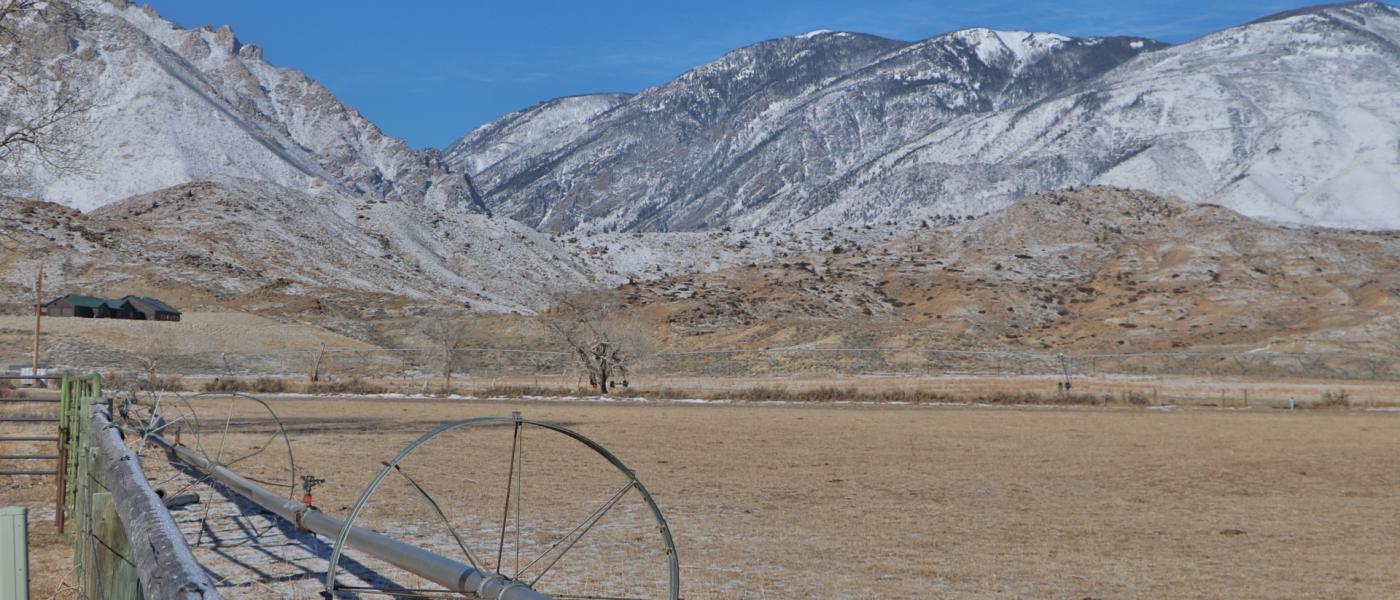
Situated in the foothills of the rugged Beartooth Mountains, this 742 acre ranch borders BLM and National Forest with year round access off a paved County road. Approximately 131 acres are irrigated with pivot sprinkler, wheel lines and hand sprinklers. Little Rock Creek, a year round creek, flows through the ranch for approximately 3400 feet offering excellent fishing. Along with the creek, there are two stocked trout ponds. Abundant wildlife, including antelope, mule deer and elk roam through the foothills. The ranch is minutes from the Clarks Fork Canyon where the Clarks Fork of the Yellowstone River flows out into the valley. There 618 acres of BLM lease, Allotment 03066, Little Rock Creek for horses for 33 AUM.
Elk, deer and other wildlife frequent the property. It is situated in a very scenic and recreational area at the base of the Beartooth Mountains. It is minutes to the Clarks Fork Canyon and Wyoming’s Wild and Scenic River, the Clarks Fork of the Yellowstone River. Little Rock Creek Ranch is located west of the small community of Clark, Wyoming. Clark is 30 miles north of Cody, home to many western cultural events and is the rodeo capital of the world. Clark is 28 miles west of Powell, 32 miles south of Red Lodge, Montana, a ski resort, and 80 miles from Billings, Montana’s largest city. The Clarks Fork of the Yellowstone River flows through the valley offering excellent fishing. The area is rich in history and lavish in beauty. It is an easy scenic drive to Yellowstone National Park and many other numerous recreational opportunities within the Yellowstone ecosystem.
Contact
PHONE: (307) 217-2777
Site Links
HomeFarm & Ranch Properties
Residential & Recreational Properties
Auctions
Buying & Selling
Panacea
About Us
Contact Us
Disclaimer
Content on this website is for general information only and has been obtained from sources deemed reliable; however, the accuracy of this information is not guaranteed or warranted by Powers Land Brokerage, LLC. Listings are subject to prior sale, price change, correction or withdrawal without notice. Visitors are charged with making and are expected to conduct their own independent investigation of the information provided, directly or indirectly, by this website or Powers Land Brokerage, LLC.