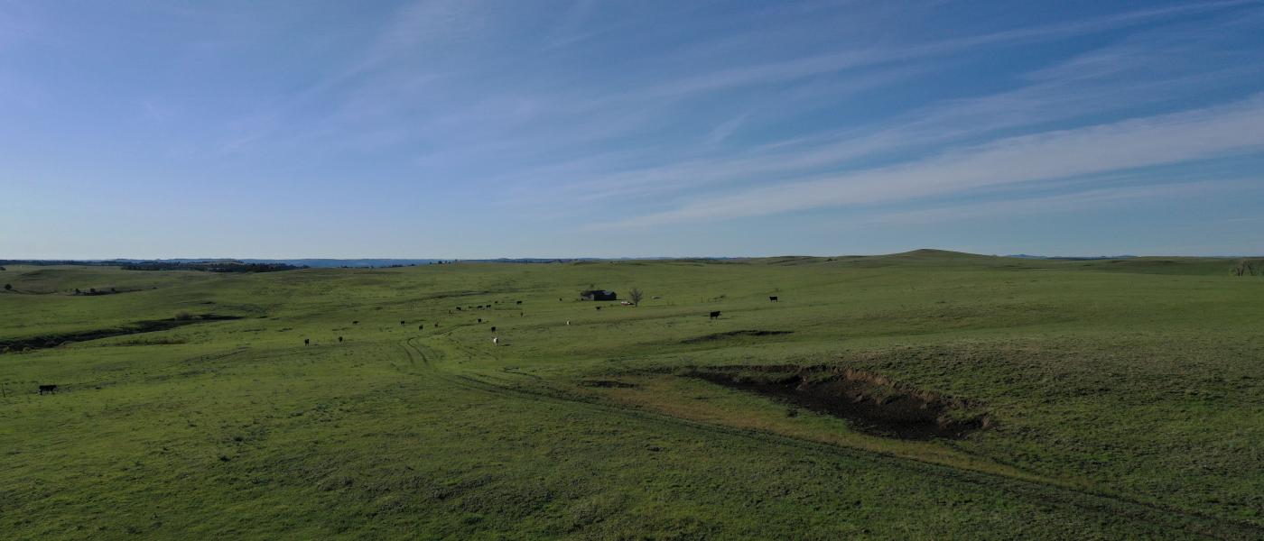
Otter Creek Ranch
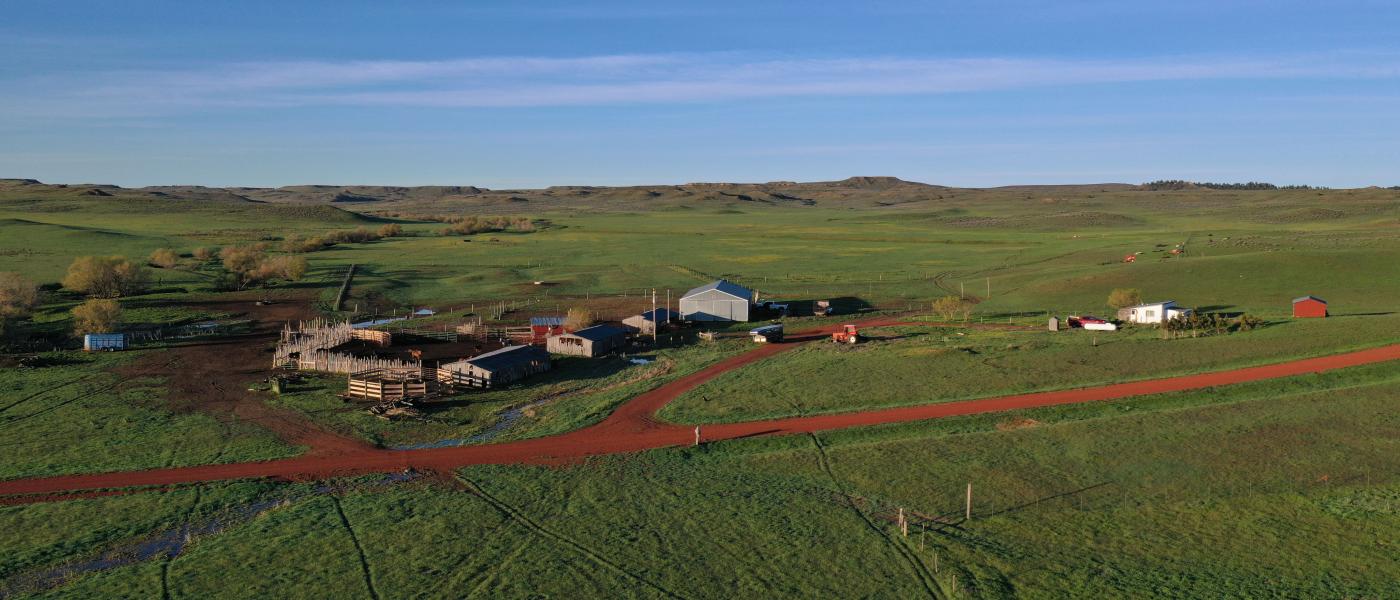
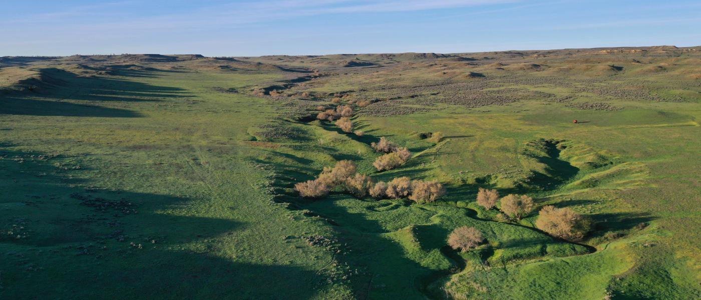
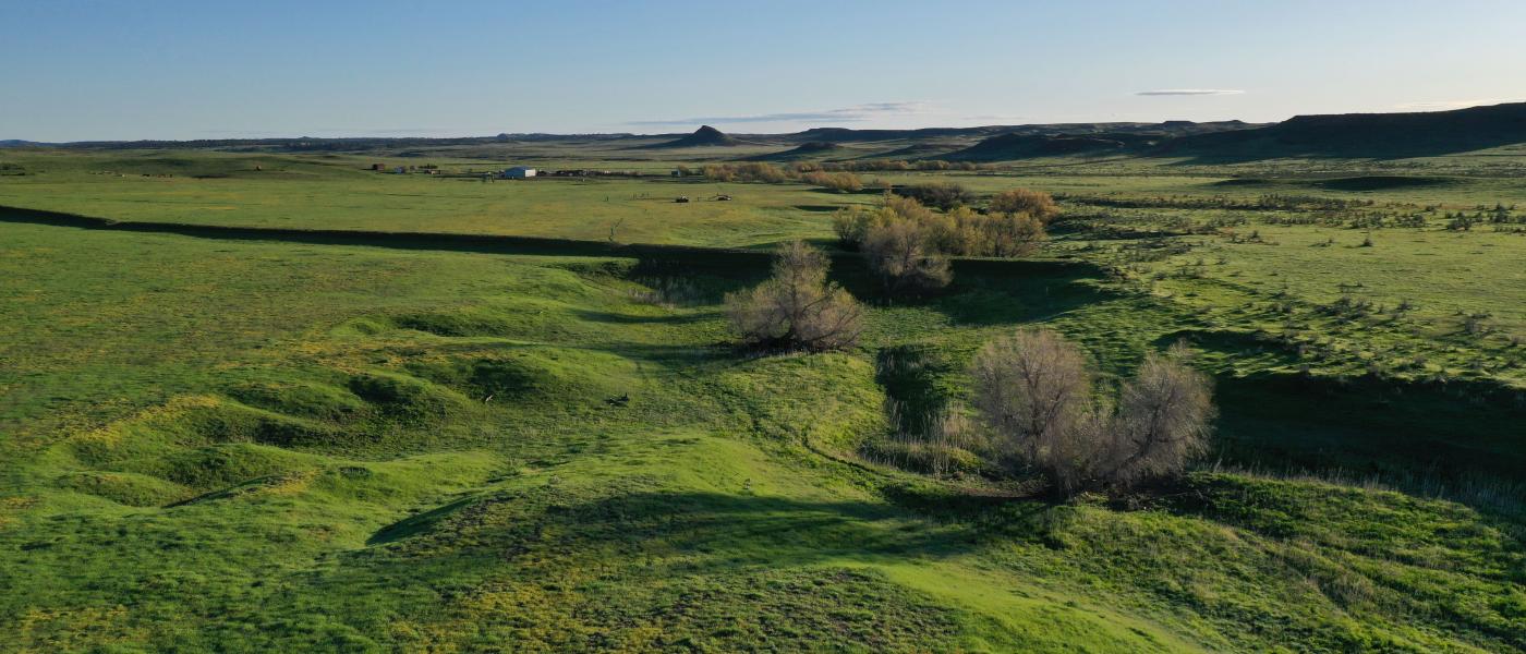
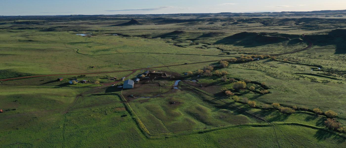
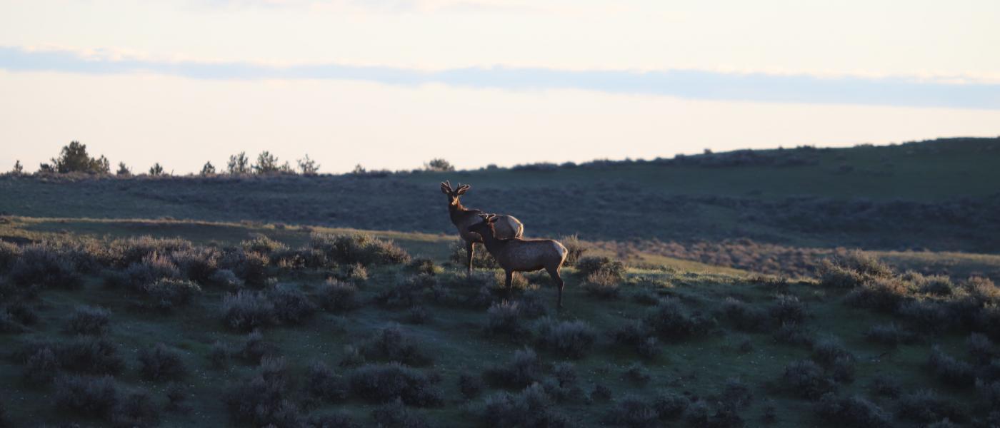
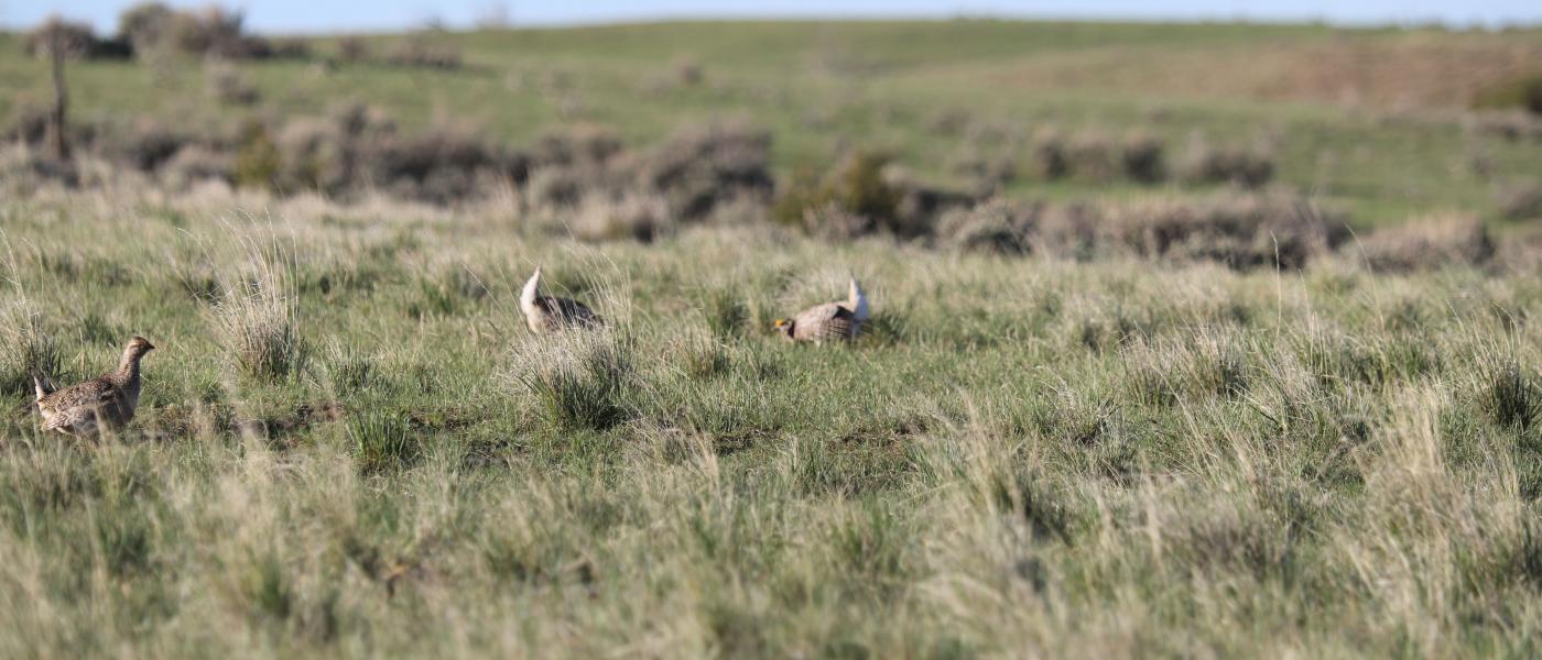
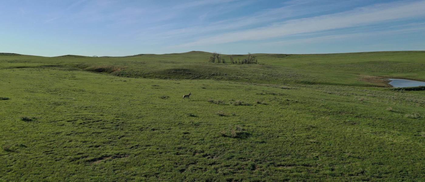
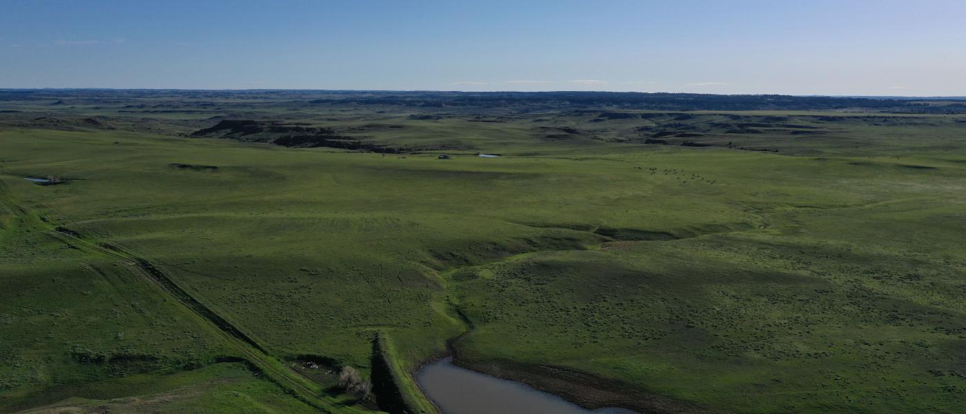
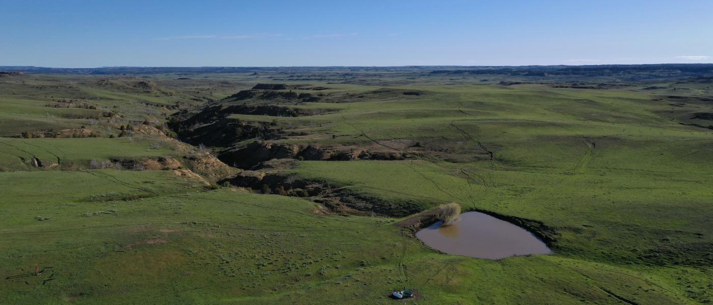
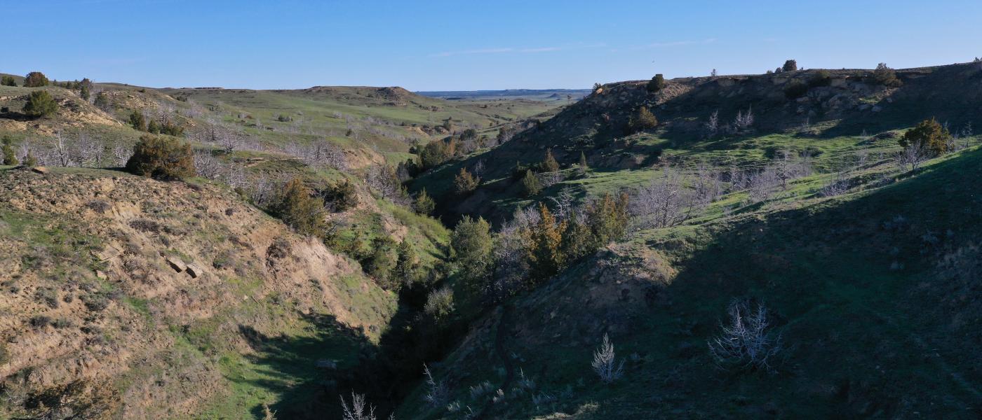
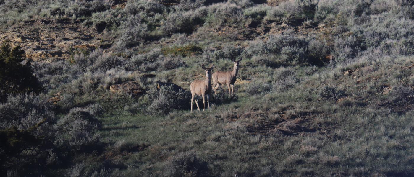
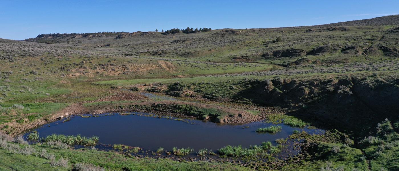
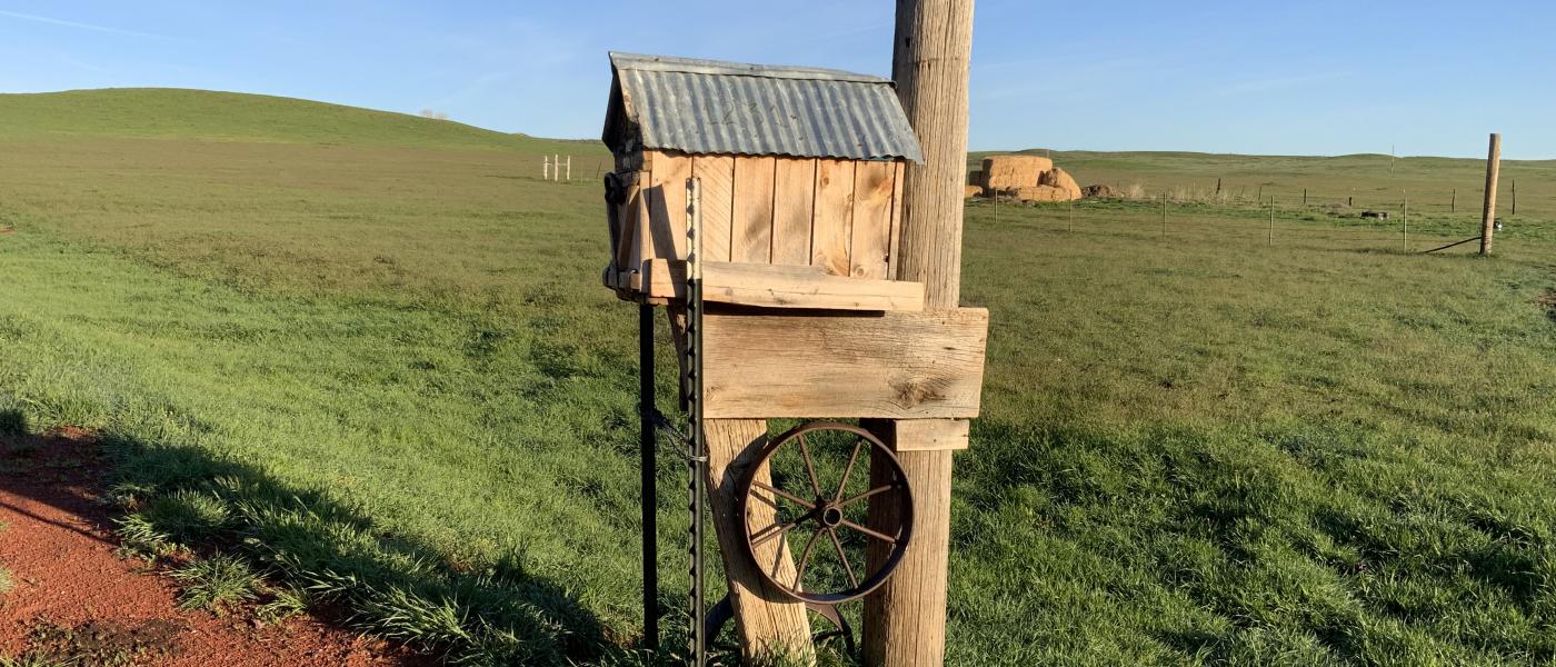
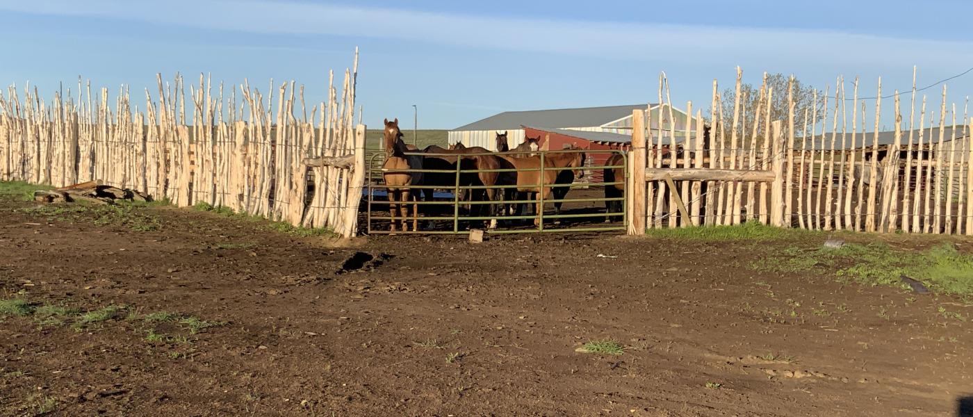
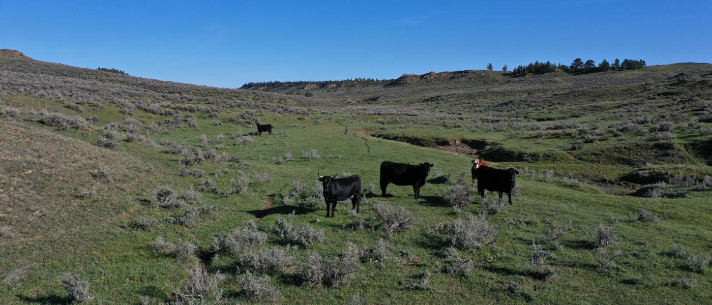
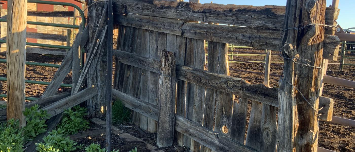
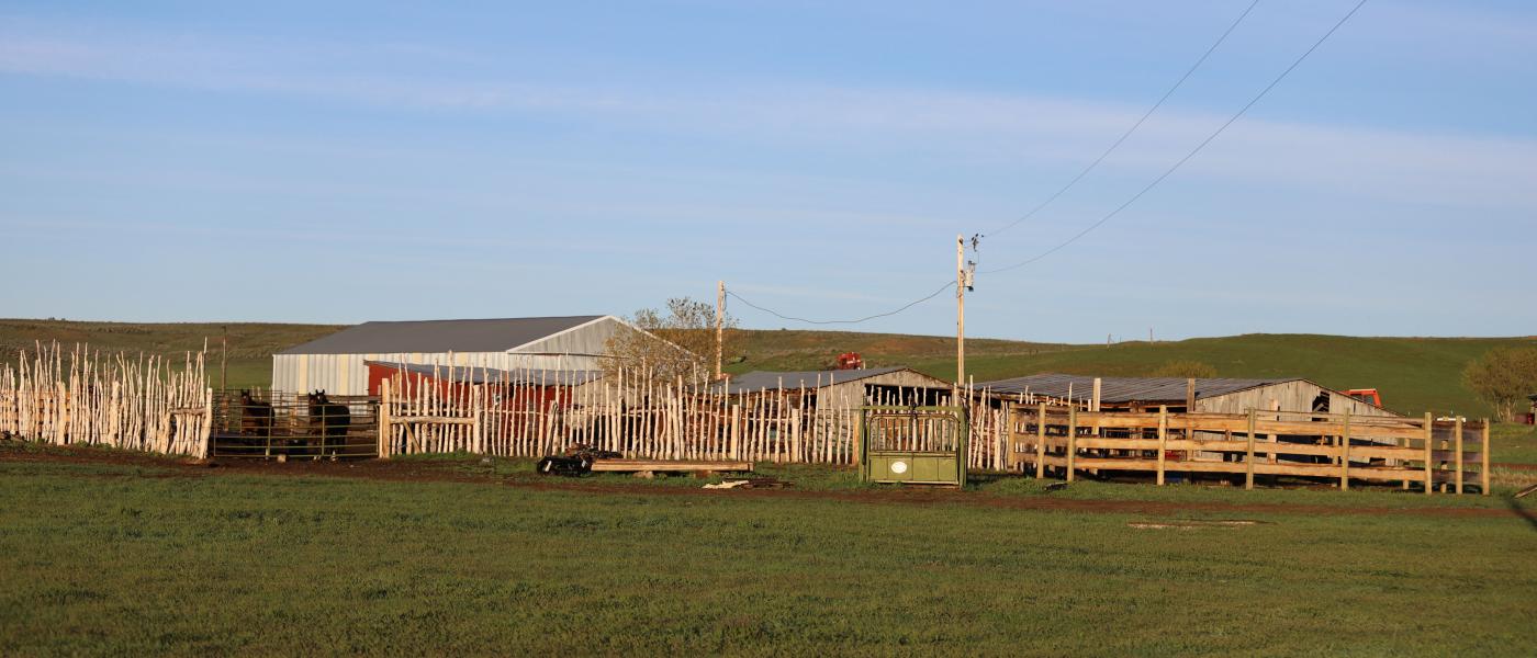
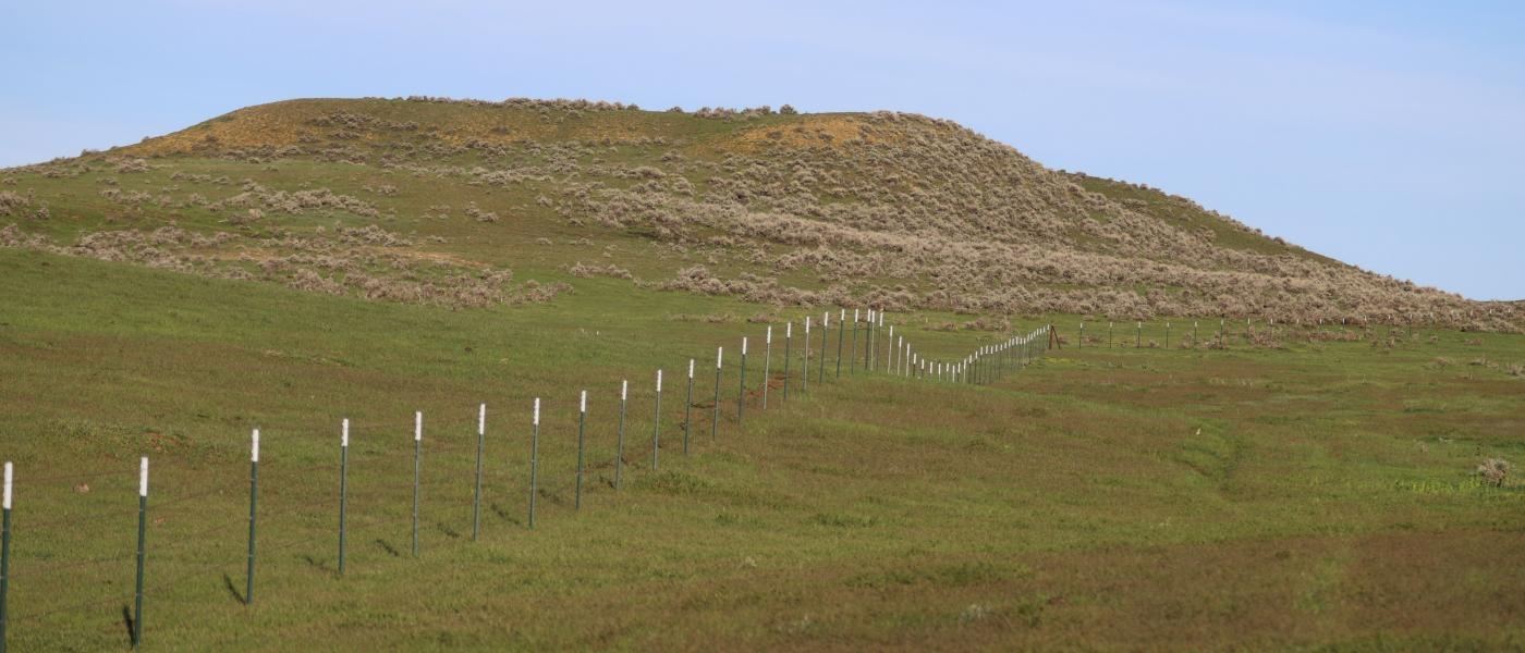
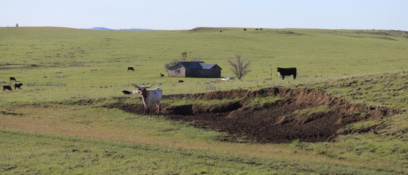
The Otter Creek Ranch consists of 2,720+/- deeded acres plus 660+/- acres of BLM grazing lease in remote southeast Montana. The ranch has had only two owners since the 1940's in what is arguably some of the best grass country in the Rocky Mountain West, just south of Custer National Forest. Several seasonal streams provide winter cover, stock reservoirs, and wildlife habitat. A functional set of working improvements, wells, and fencing offer the next generation of ownership a solid foundation to build off of.
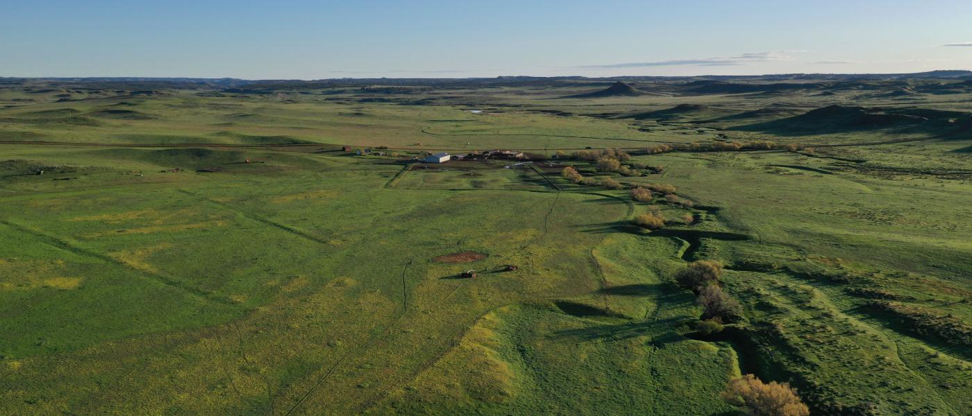
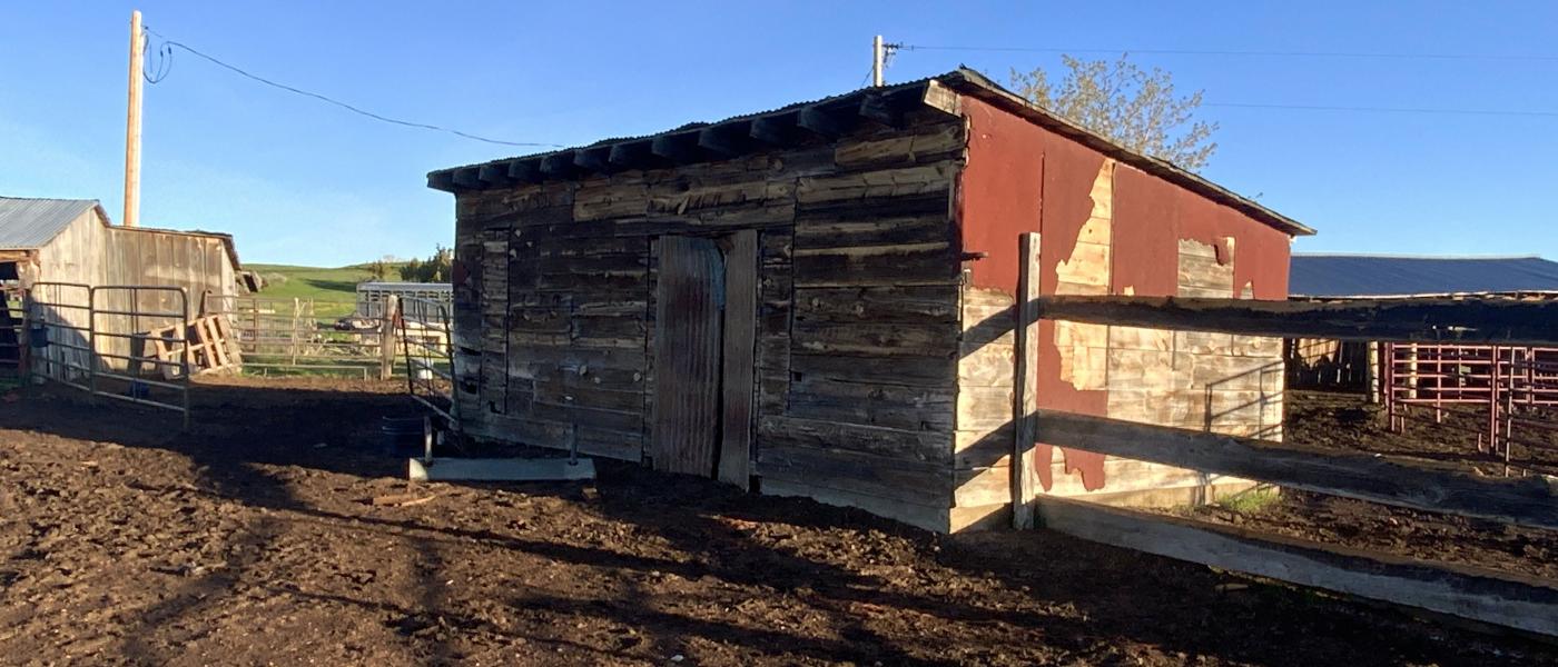
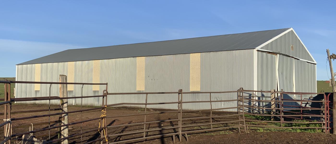
The Otter Creek Ranch is made up of two large blocks of land connected by a one mile easement along an old county road bed. The 1,475+/- acres along the county road hold the working improvements and what was once productive dry-land hay served by spreader dikes across Long and Otter Creeks. While the structures are basic, they have a lot of character. There is a large equipment building with good well water for domestic and stock use. Excellent county road access and overhead electric benefit the ranch which is approximately 2 hours from Sheridan, Wyoming and a little over a half hour to highway 212 near Ashland, Montana.
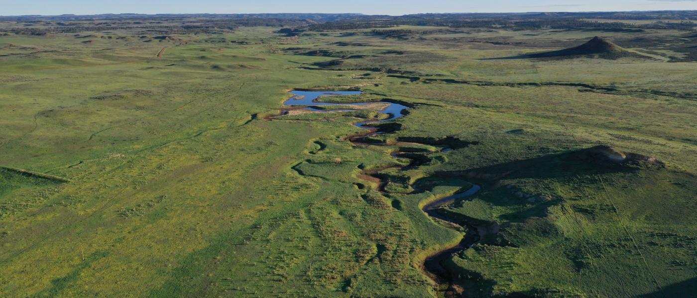
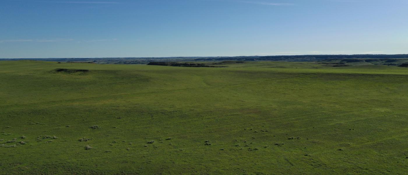
The large 1,830+/- summer pasture lies due south another 400 feet in elevation and was the original year-round homestead served by a spring fed pond and several catch reservoirs. Historically, this pasture provided single cutting dryland hay also. The 500+/- acre BLM lease was renewed in 2017 for 10 years and provides grazing below a $1.50 AUM for up 200 AUMs from 5/15-11/01.
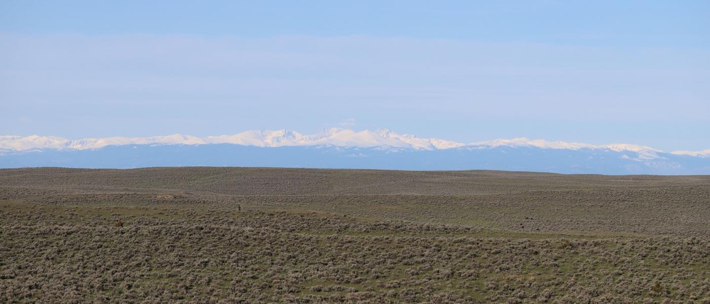
Located on the gentle northern slope of the divide between the Tongue and Powder Rivers, the Otter Creek Ranch lies in the heart of great ranch country. The property is in Powder River County halfway between Broadus, MT and Sheridan, WY. Legal access can be reached from the north from several county roads that lead to Broadus, Ashland, Leiter, and Decker. This country is were the early settlers and Indian tribes made their home as described in the book, “Where Rivers Run North” by Sam Morton.
Carrying capacity of range country and of harvested feed produced on a ranch can be expressed as animal units or animal unit months. The animal unit (AU) is the annual feed requirement to maintain a mother cow or the equivalent in thrifty condition (with calf at side for six of the twelve months). Carrying capacity is that portion of the animal units of the maximum feed production that can be utilized after consideration of all limiting factors and customary operation practices. Any carrying capacity rating must be estimated with caution, keeping in mind the size and breed of the cows, the weaning weights of the calves, and even the length of time the calves are grazed. A carrying capacity rating can vary as much as 30% to 40%, depending upon the range usages. In addition to pasture rotation and other management factors, such as water availability, livestock type and size, and the length and timing of pasture season. A properties total carrying capacity is also affected by external influences such as topography, rainfall, pests, wildlife, and other numerous influences.
Contact
PHONE: (307) 217-2777
Site Links
HomeFarm & Ranch Properties
Residential & Recreational Properties
Auctions
Buying & Selling
Panacea
About Us
Contact Us
Disclaimer
Content on this website is for general information only and has been obtained from sources deemed reliable; however, the accuracy of this information is not guaranteed or warranted by Powers Land Brokerage, LLC. Listings are subject to prior sale, price change, correction or withdrawal without notice. Visitors are charged with making and are expected to conduct their own independent investigation of the information provided, directly or indirectly, by this website or Powers Land Brokerage, LLC.