Sanctuary on the Clarks Fork River
Brochure is not currently available for this property.
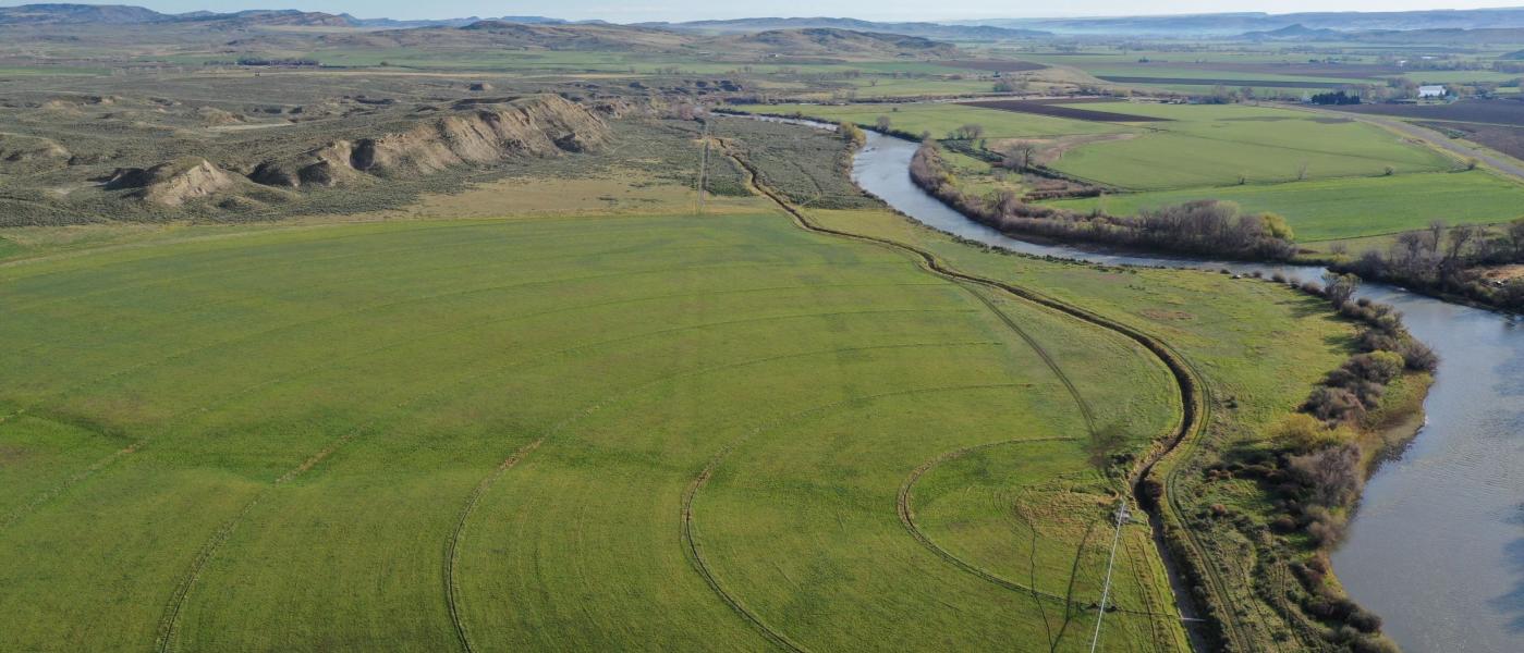
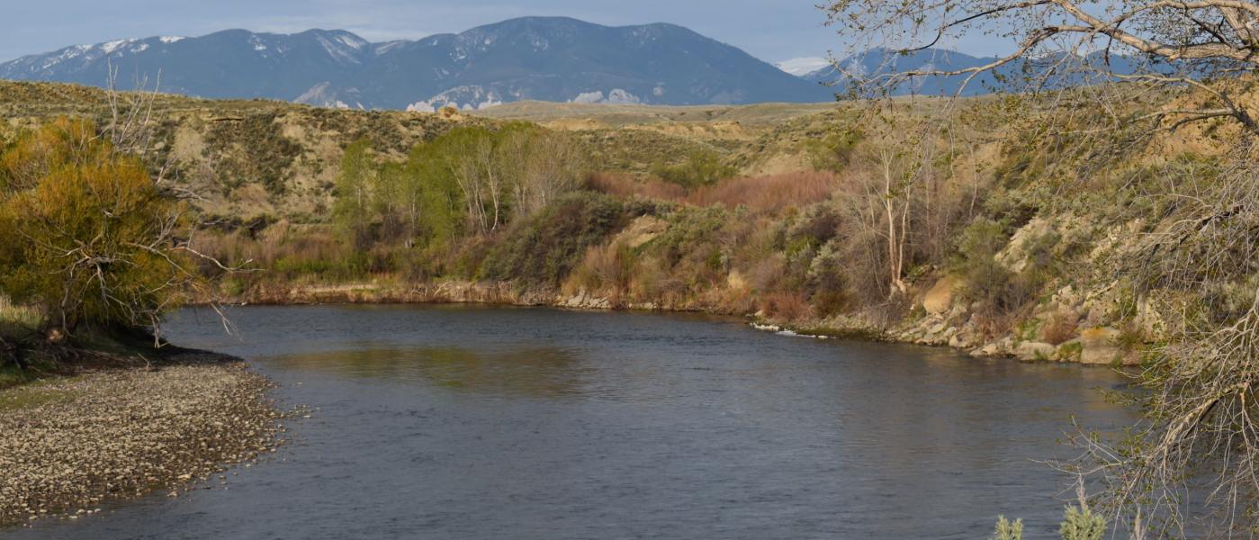
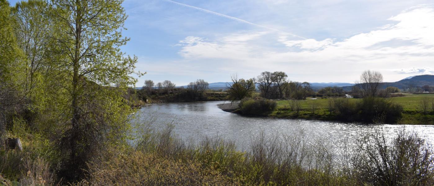
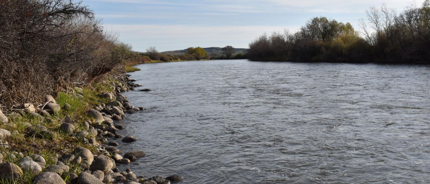
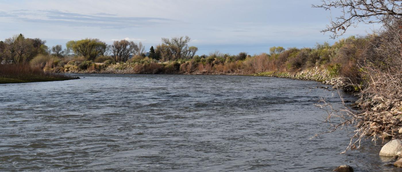
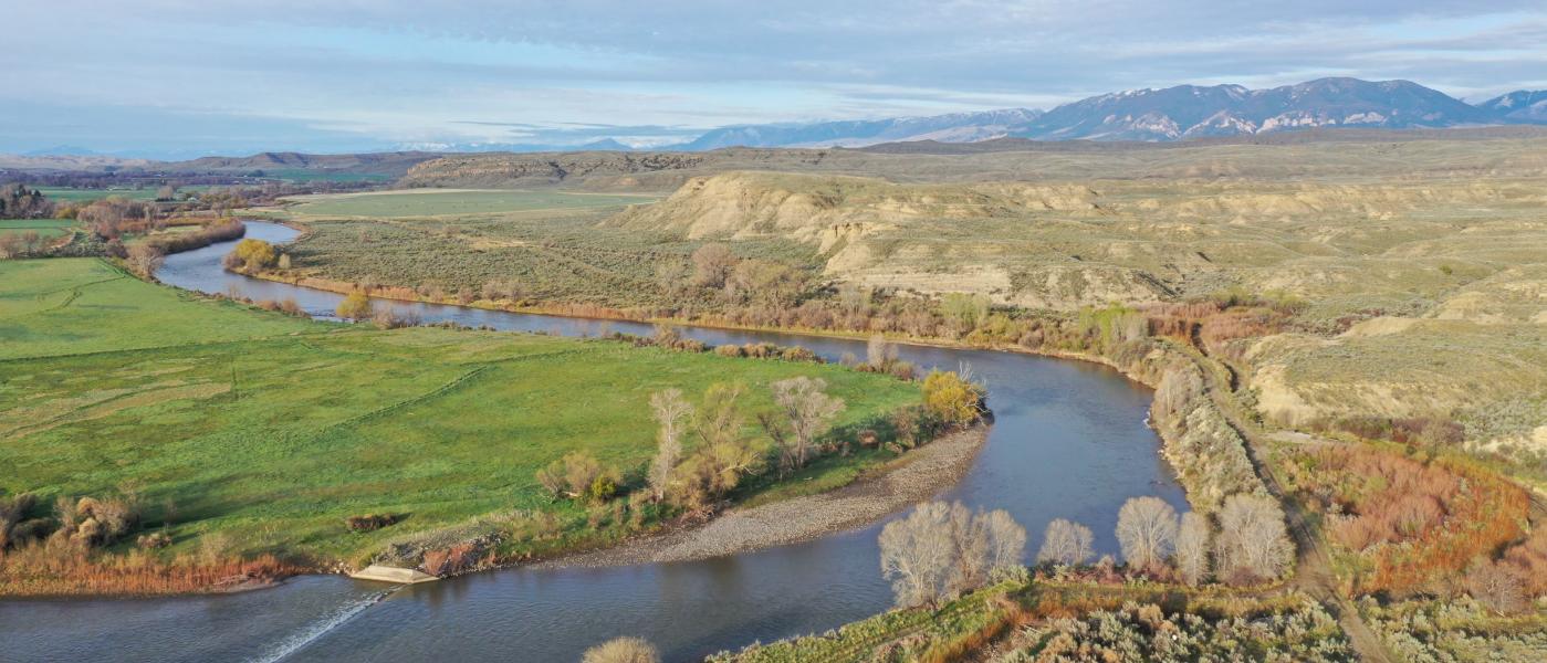
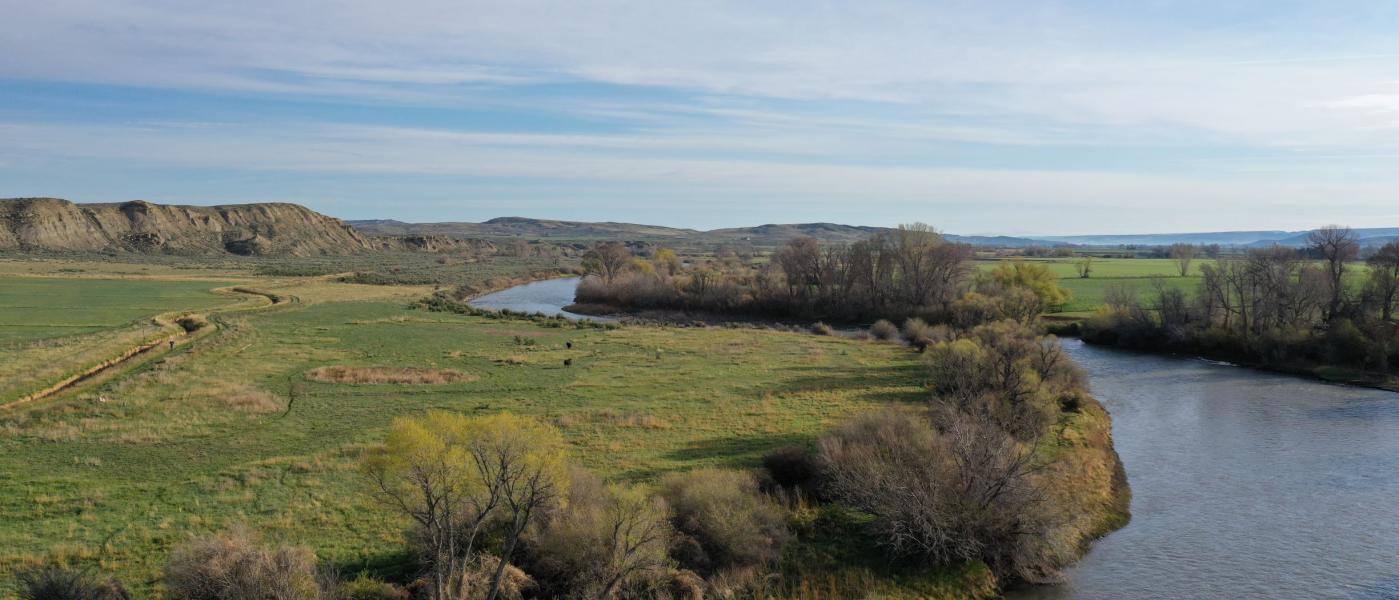
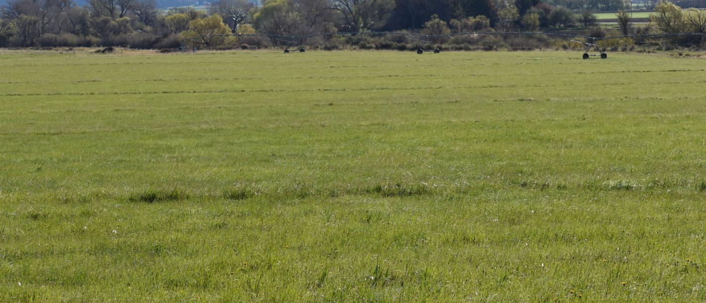
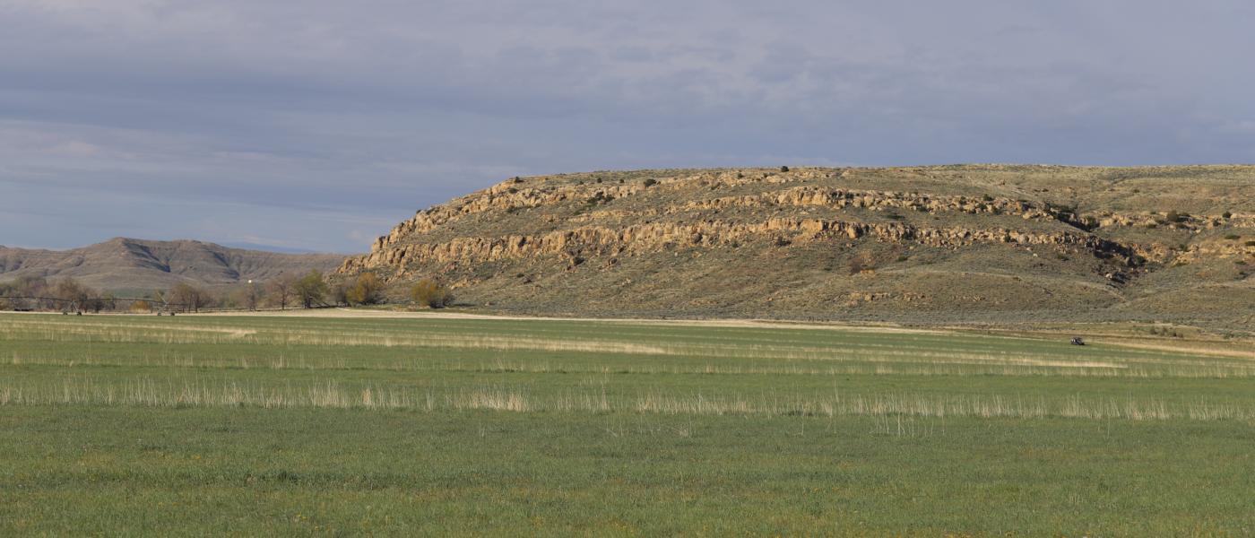
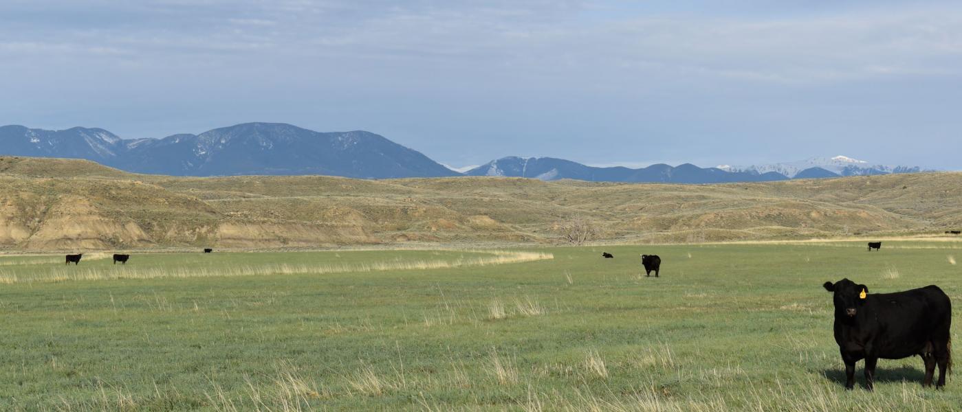
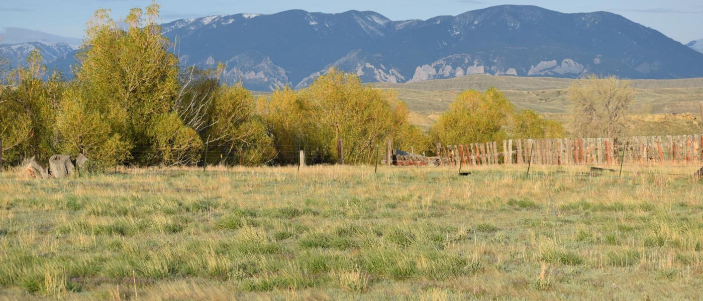
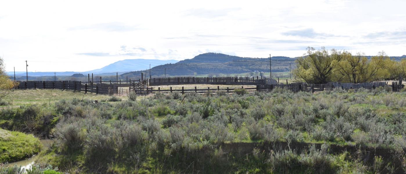
The Sanctuary on the Clarks Fork River ranch property is located along the Clarks Fork River with approximately 2.2 +/- miles of river frontage that allows easy access to the river for wildlife, livestock, or fishing. The land is gentle along the river and then traverses into irrigated cropland to hilly rangeland with excellent views of the surrounding mountain ranges and the Clarks Fork River valley.
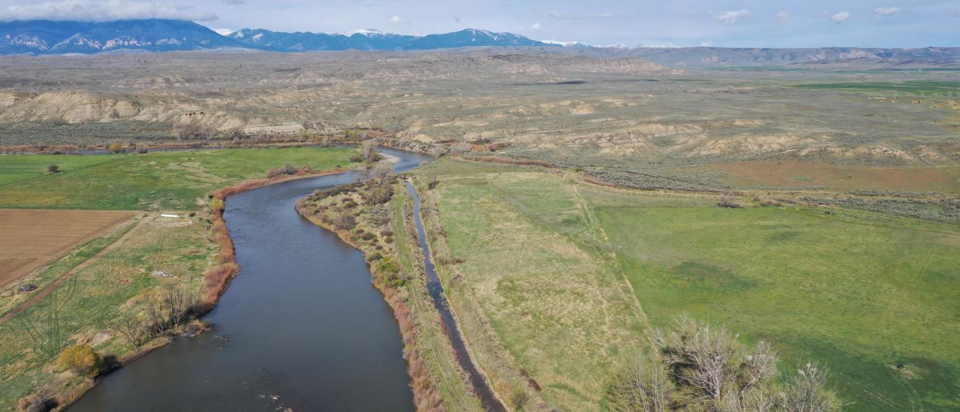
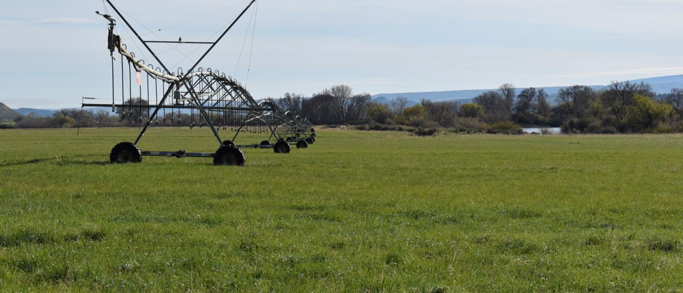
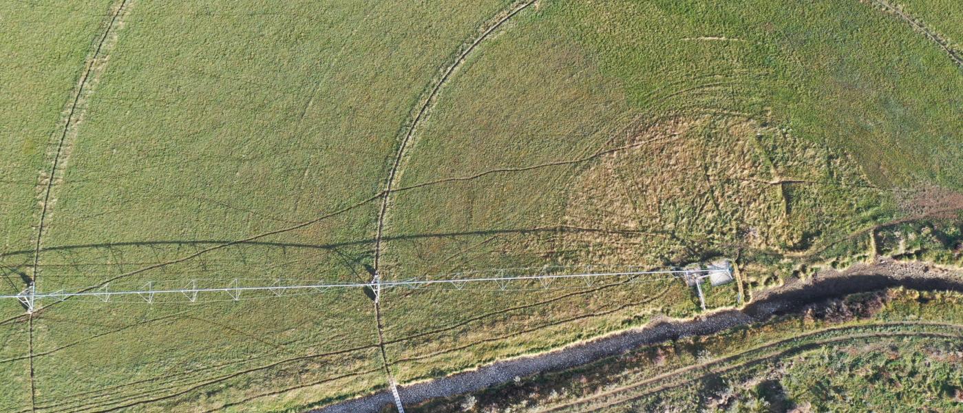
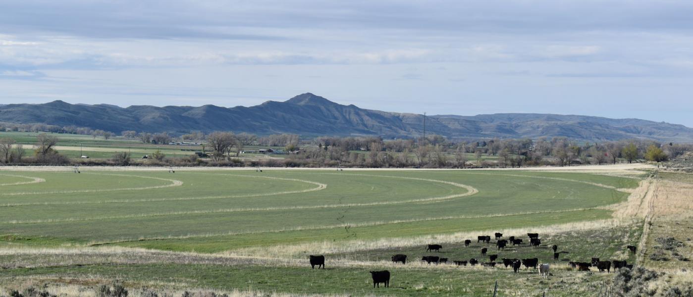
The irrigated cropland is a mixture of pivot and flood irrigated and is located near the banks of the river. There are 150 +/- acres that are irrigated. These soils are very fertile and would be productive for multiple crops, including hay for livestock. Irrigation water is provided by the Golden Ditch with approximately 219 +/- shares. Water is pulled from the Clarks Fork River, which is a very consistent and reliable water source.
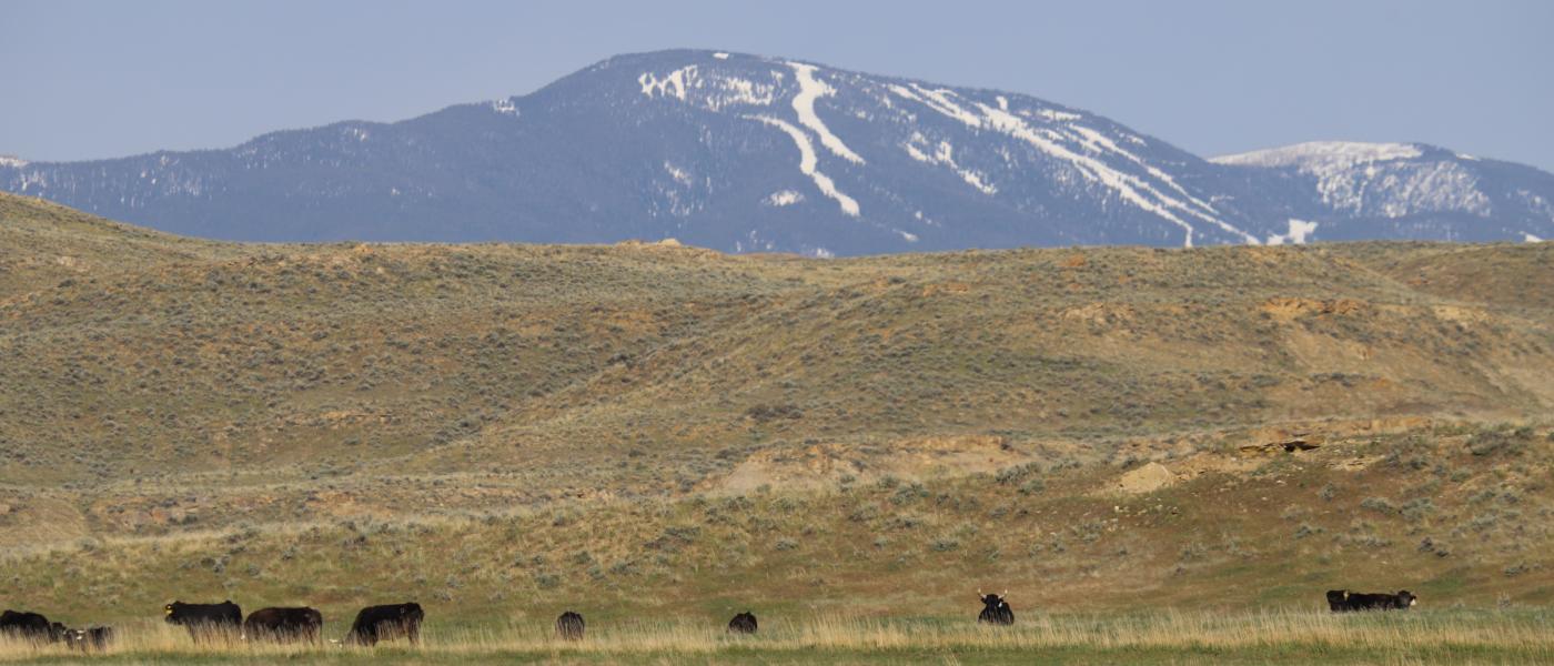
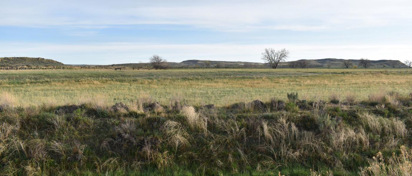
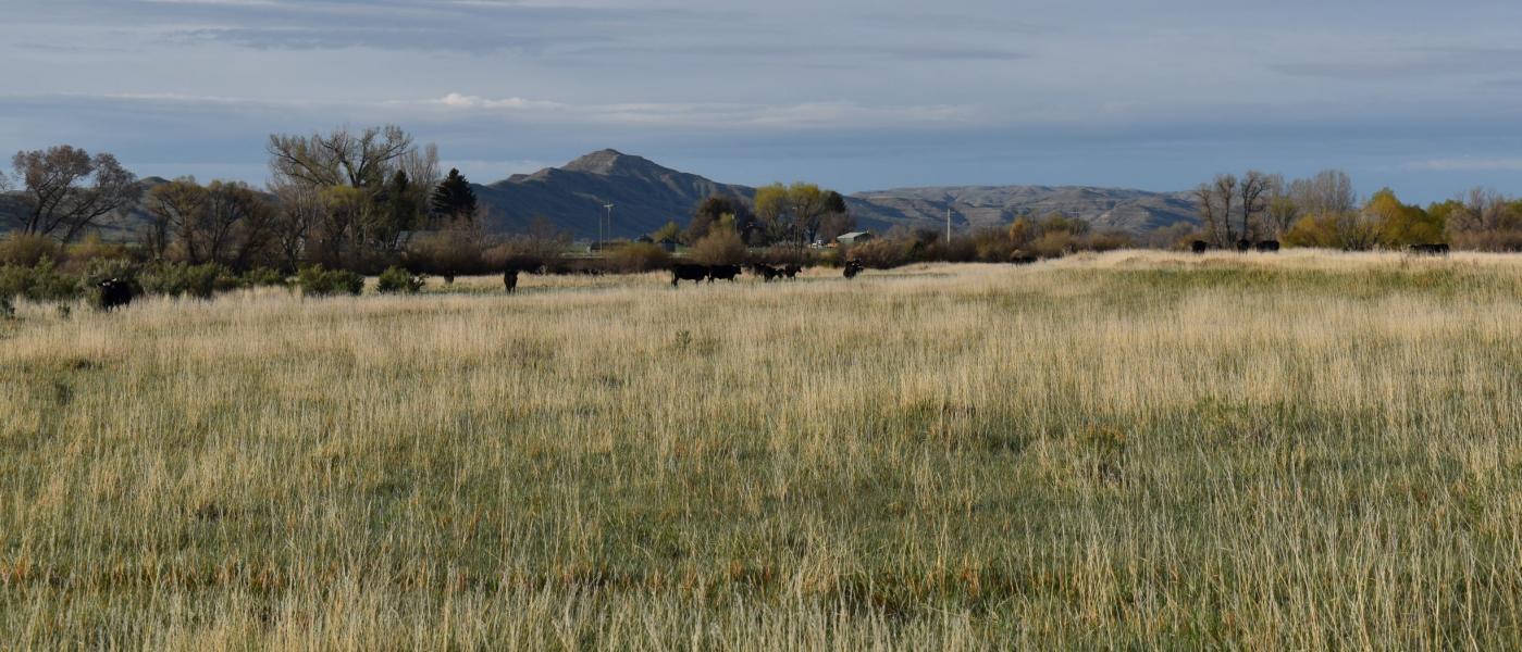
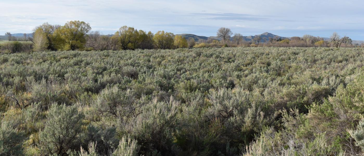
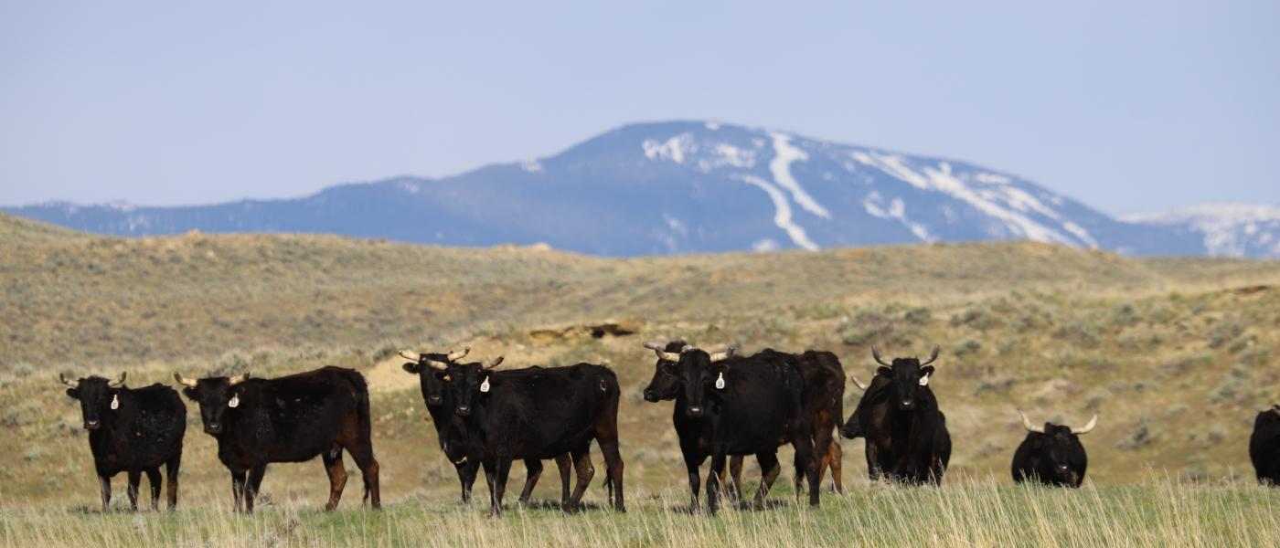
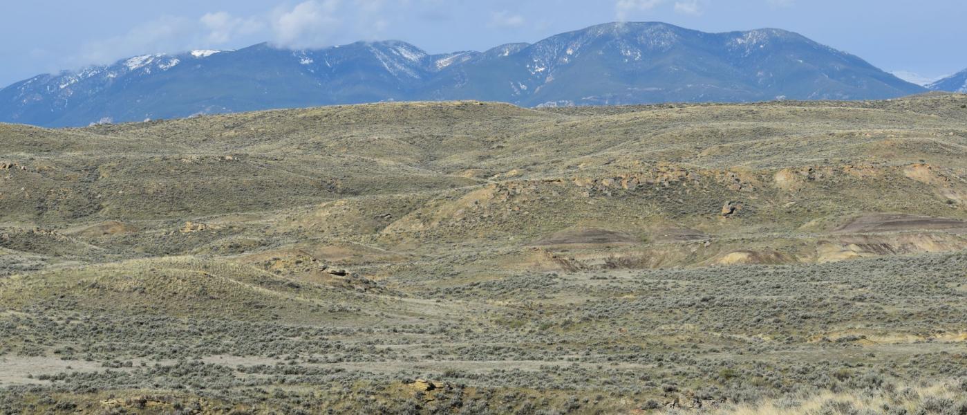
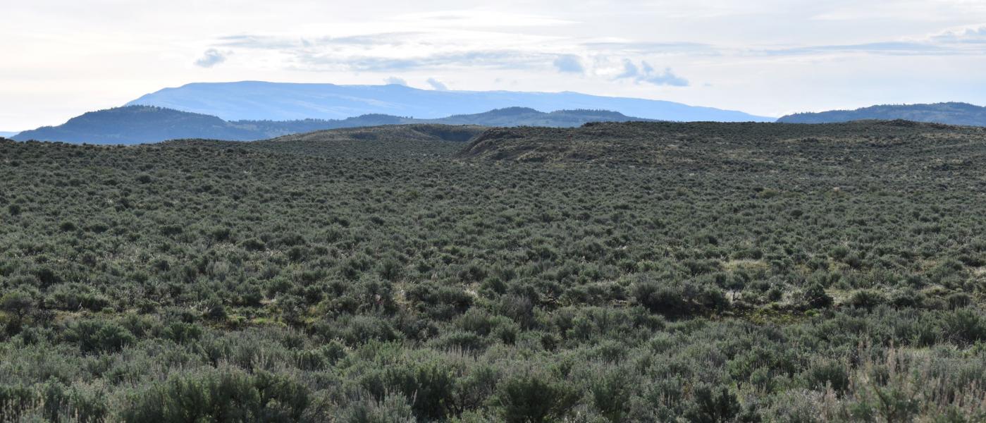
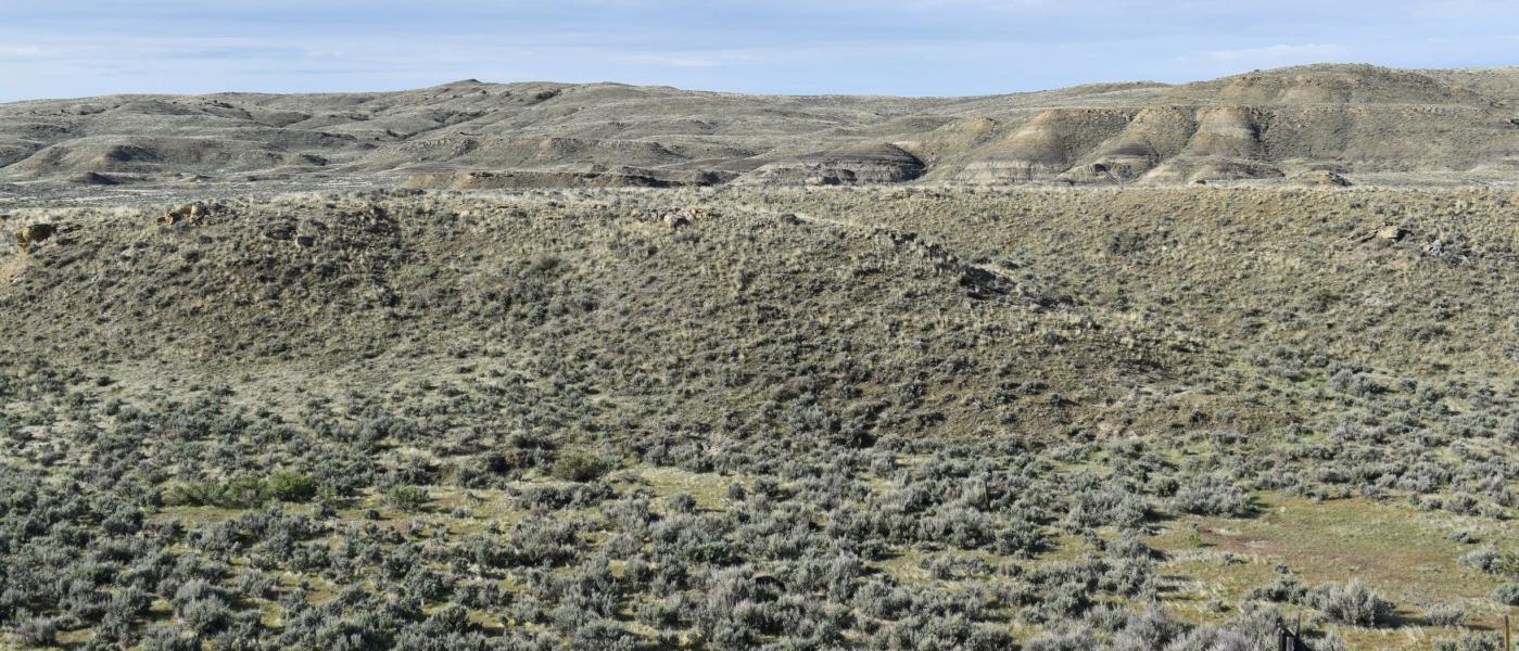
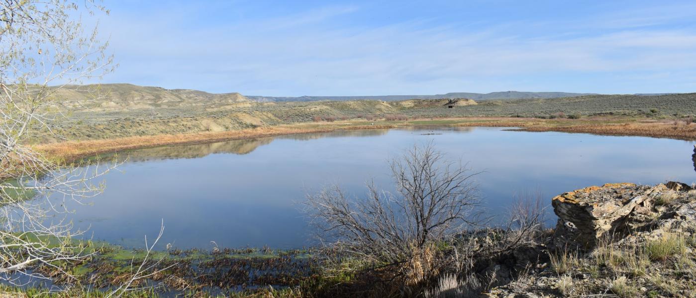
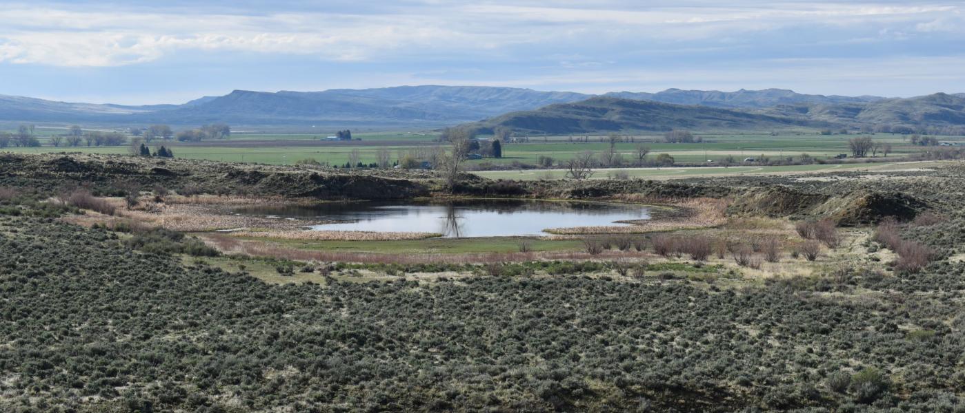
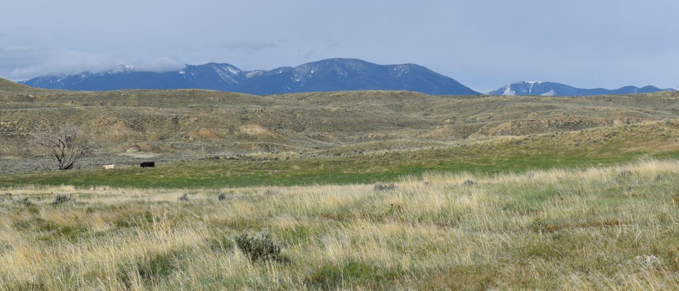
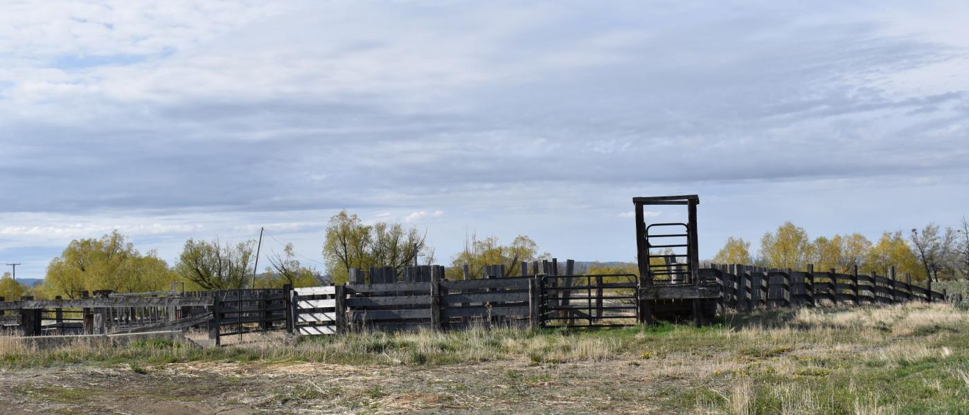
The rangeland consists of hilly land with multiple drainages providing ample cover for wildlife and livestock. A reservoir on the property provides livestock water and a place for wildlife to congregate other than along the river. This reservoir enhances hunting or wildlife viewing opportunities from deer to waterfowl. Combine this with the Clarks Fork River and this property is highly desirable from a recreational standpoint. Match it with the productivity for livestock and it will cover all of the bases for any buyer and provide numerous opportunities to enjoy the land from watching deer along the river bottom to cows grazing on the rangeland with the majestic Beartooth Mountains and the Red Lodge Ski Resort or the Pryor Mountains behind them.
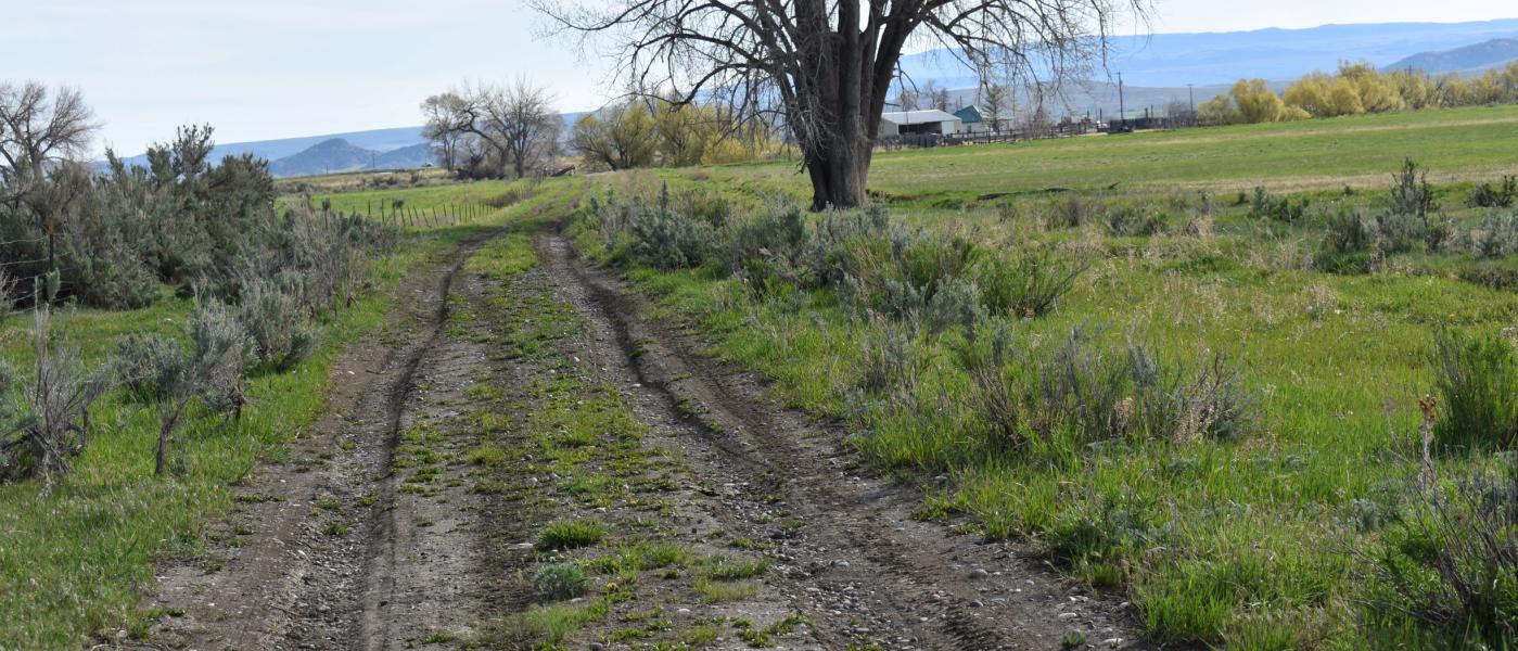
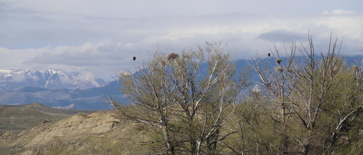
Property access is provided by a paved highway with a home site already established and a home that can be renovated to meet your expectations. For those looking for a more secluded home site, there are multiple locations further into the property with electricity already near those sites. These additional sites would allow you to listen to the sound of the river as you enjoy the scenic views, watch the deer in the fields, bald eagles in the trees along the river, and listen to the cackle of a ring-necked pheasant. Fishing along this portion of the river can be excellent, being located upstream from more populated areas along the river that experience more pressure from people fishing on the river.
Whether you have always dreamed of owning land in Montana to use as a retreat away from work or as a permanent location, where you can hunt, fish, watch wildlife and take in the scenic views of the area, or you may be a local producer looking to expand your existing operation for feed production and livestock grazing, the Sanctuary on the Clarks Fork River will provide you with all of the opportunities necessary to make this a property you will want to hold on to and pass down for generations. Do not let this opportunity slip you by like the fish in the river, contact us today to learn more about this property and to schedule a showing. Call or text Scott Crosby at 307-272-7421.
Contact
PHONE: (307) 217-2777
Site Links
HomeFarm & Ranch Properties
Residential & Recreational Properties
Auctions
Buying & Selling
Panacea
About Us
Contact Us
Disclaimer
Content on this website is for general information only and has been obtained from sources deemed reliable; however, the accuracy of this information is not guaranteed or warranted by Powers Land Brokerage, LLC. Listings are subject to prior sale, price change, correction or withdrawal without notice. Visitors are charged with making and are expected to conduct their own independent investigation of the information provided, directly or indirectly, by this website or Powers Land Brokerage, LLC.