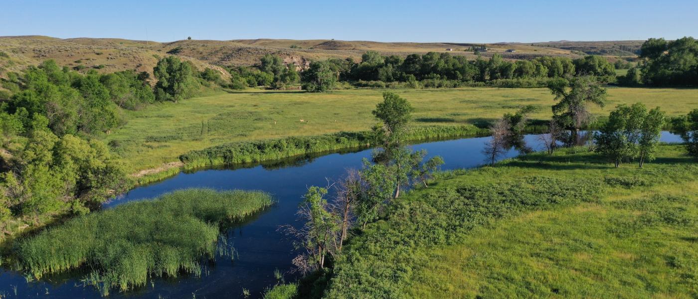

The Estuary
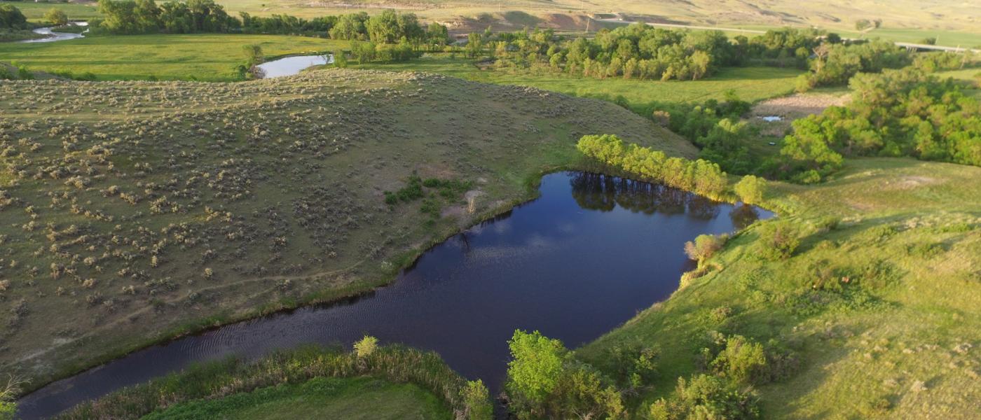
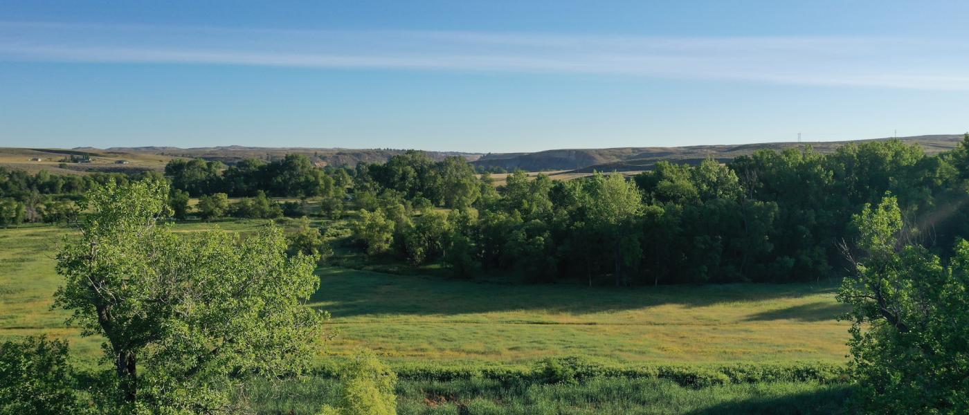
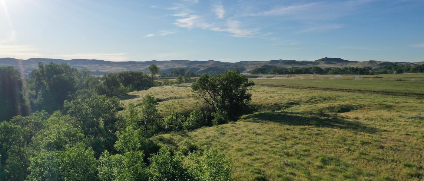
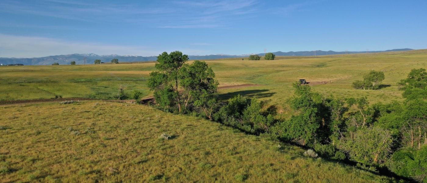
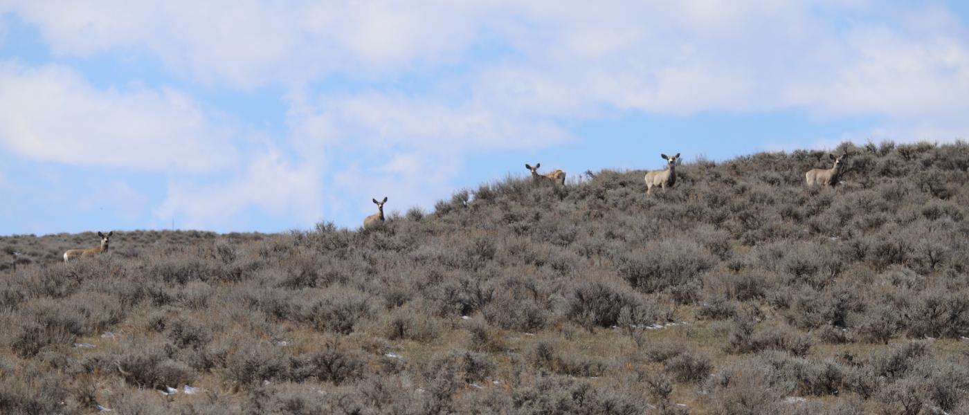
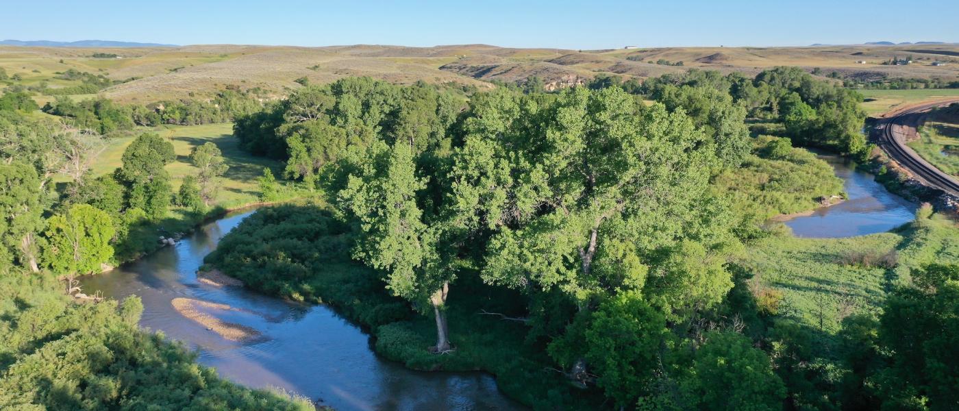
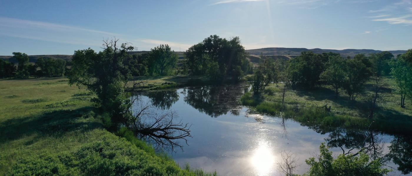
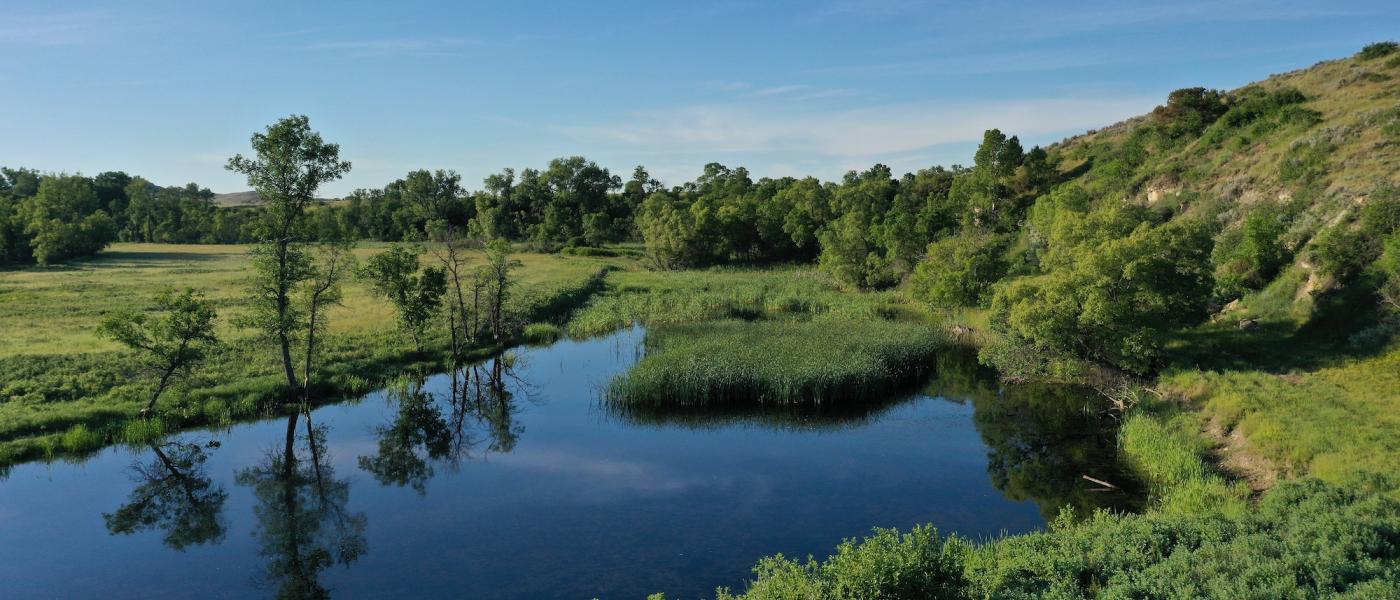
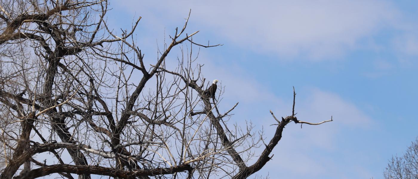
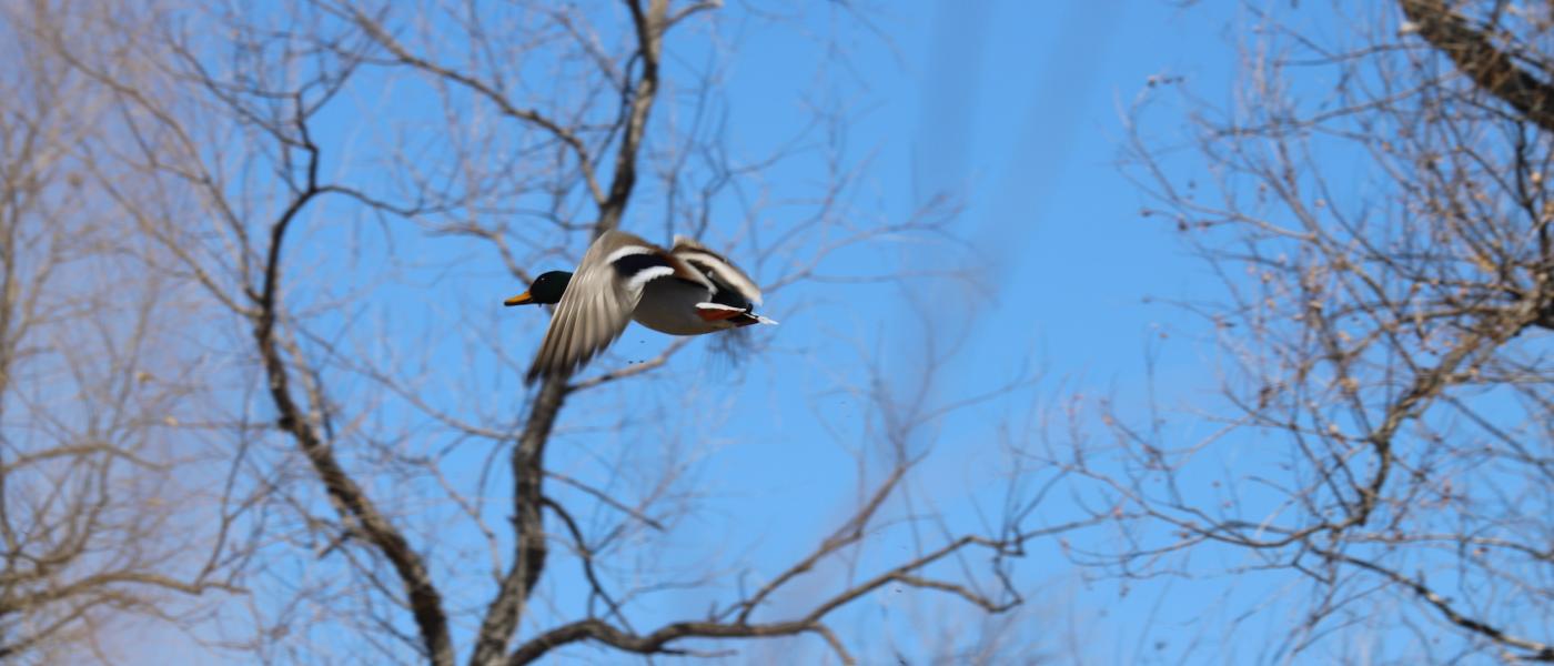
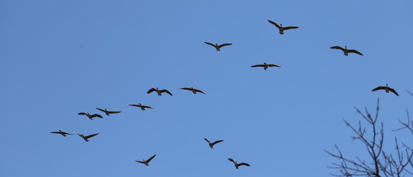
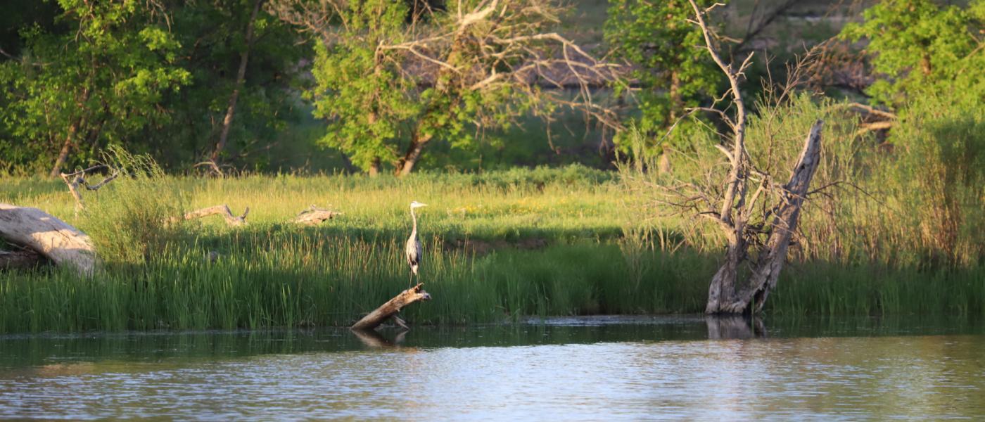
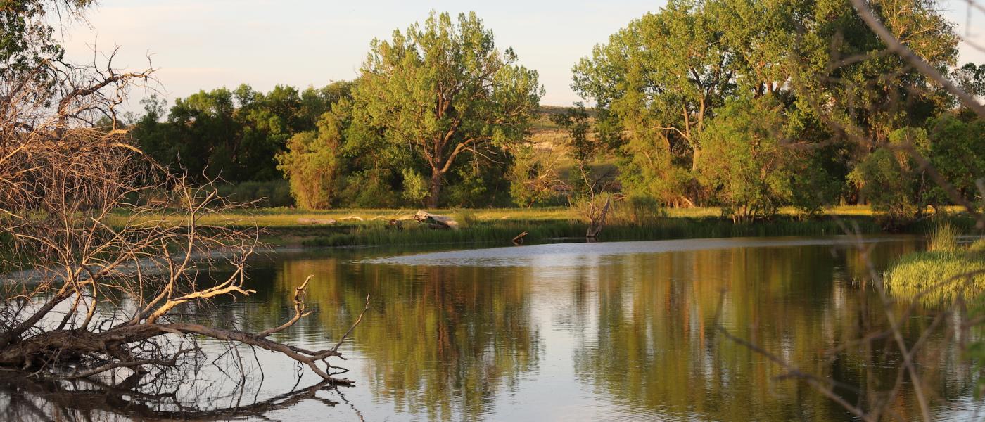
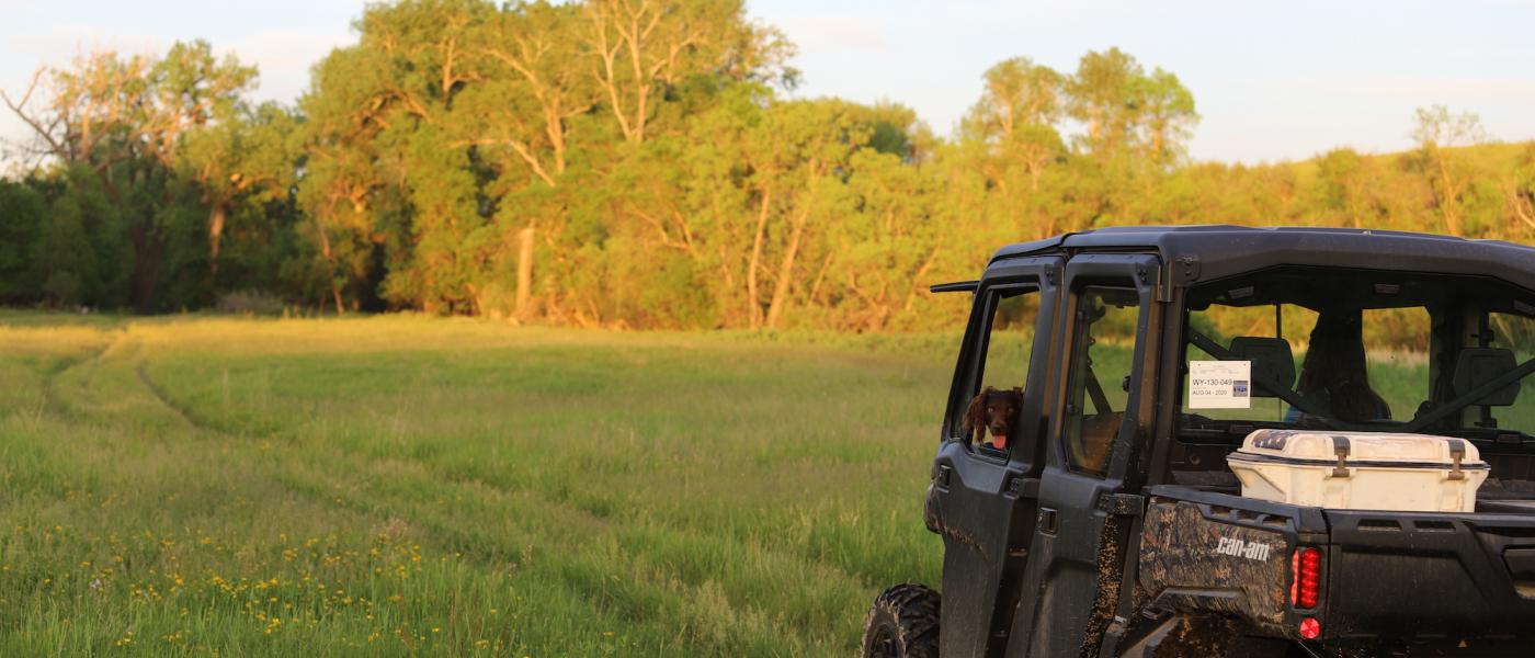
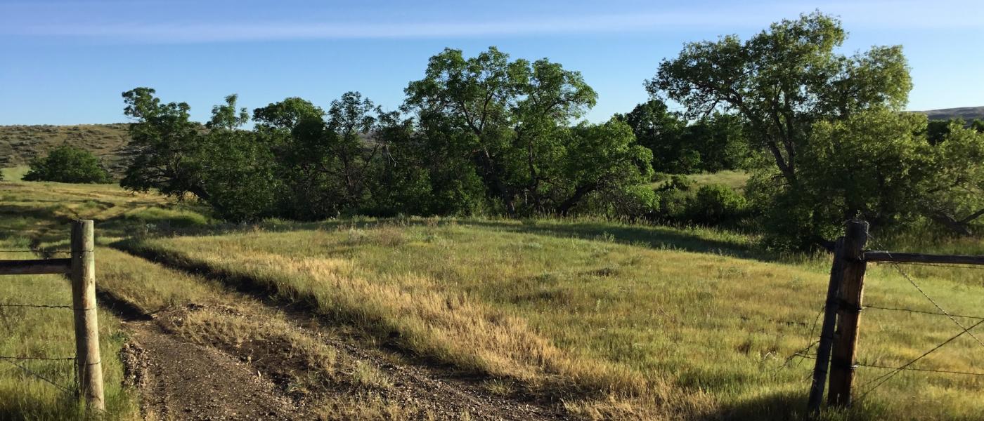
The Estuary captures the soul with a very private 232+/- deeded acre estate featuring over a mile of meandering Goose Creek frontage. River bottom meadows lined with towering cotton woods are accented by oxbow lakes and cattail riparian zones hosting a myriad of wetland birds and herds of whitetail deer under the careful eye of bald eagle nests. Explore the lush micro habitats held in the bends and sloughs of the river or work your way through the many draws that lead to sagebrush steppes.
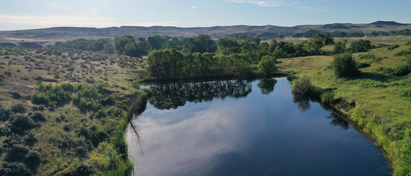
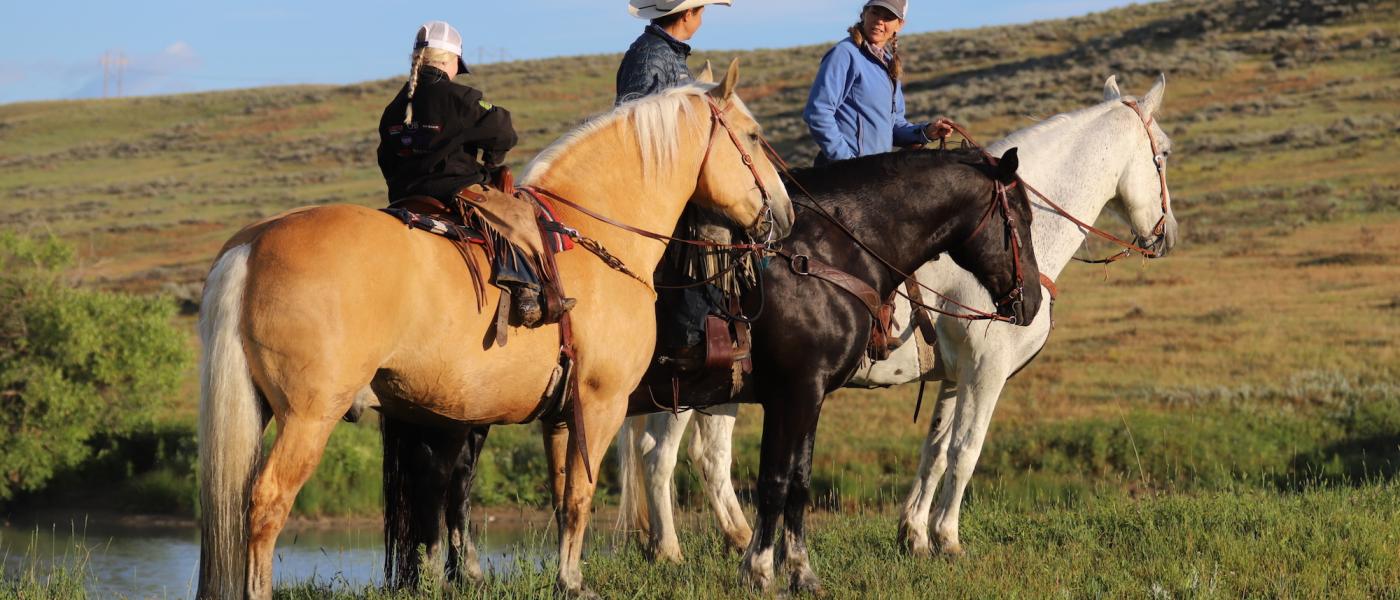
Panoramic views of the Bighorn Mountains greet the front porch one of many building sites, each revealing a back porch setting overlooking fertile grass-filled meadows and countless species of birds and wildlife. An ancient river oxbow dammed by beaver has created a large crescent shape pond as a central feature to the land below. Develop the The Estuary for a small scale livestock and desirable equestrian estate or maintain it as a wildlife sanctuary within two miles of the City of Sheridan. You may never find such a compact piece of land that holds such ecologic diversity and be so close to quality healthcare, education, culture, and transportation.
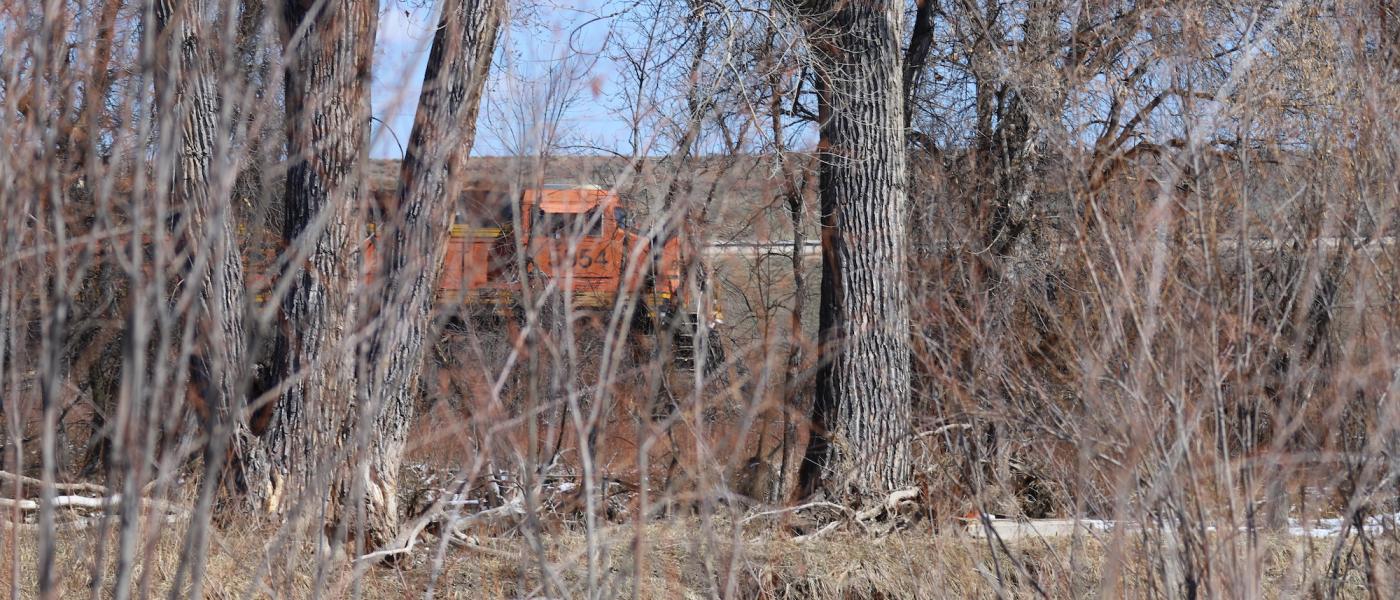
The town of Sheridan, Wyoming is arguably the most desirable place to raise a family in the Rocky Mountain West. The community is near the confluence of three interstate highways and has several commercial air service options. Wyoming is ranked as one of the top business and tax friendly states in the country. Very good medical care and nation leading education compliment the hometown charm. The area is renowned for the incredible public land access including recreation reservoirs to designated wilderness .The Wyoming experience lives in every ponderosa pine, alpine lake, worn-out saddle and secret canyon in Sheridan. Home to a western culture that can be seen at its many venues: Polo, Sheridan Wyo Rodeo, Don King Days, and many more.
For more information contact:
Charlie Powers, Broker/Owner, Call/Text: (307)217-2777
Jeannie Weissman Anderson, Associate Broker, Call/Text: (307)751-0070
Contact
PHONE: (307) 217-2777
Site Links
HomeFarm & Ranch Properties
Residential & Recreational Properties
Auctions
Buying & Selling
Panacea
About Us
Contact Us
Disclaimer
Content on this website is for general information only and has been obtained from sources deemed reliable; however, the accuracy of this information is not guaranteed or warranted by Powers Land Brokerage, LLC. Listings are subject to prior sale, price change, correction or withdrawal without notice. Visitors are charged with making and are expected to conduct their own independent investigation of the information provided, directly or indirectly, by this website or Powers Land Brokerage, LLC.